Plizio Visual Lab
Djebel Selloum
Weather…
Water temperature…
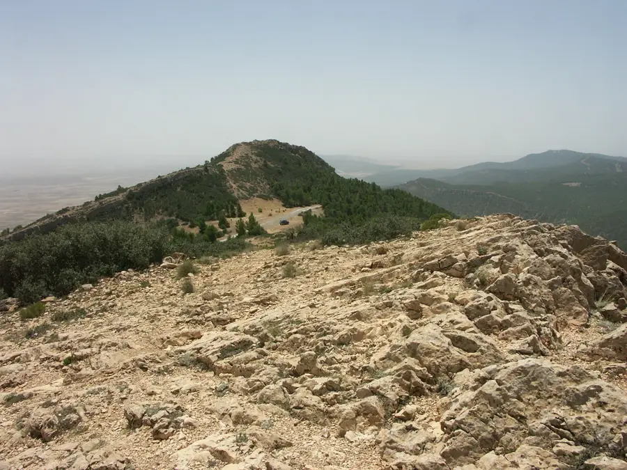
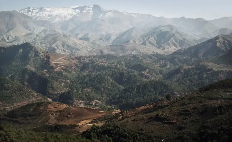
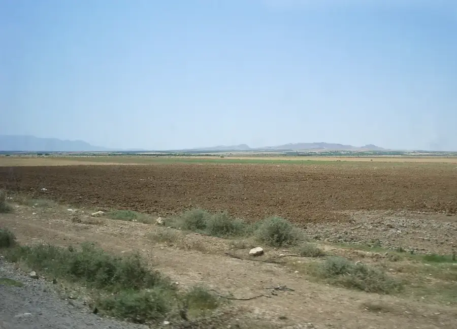
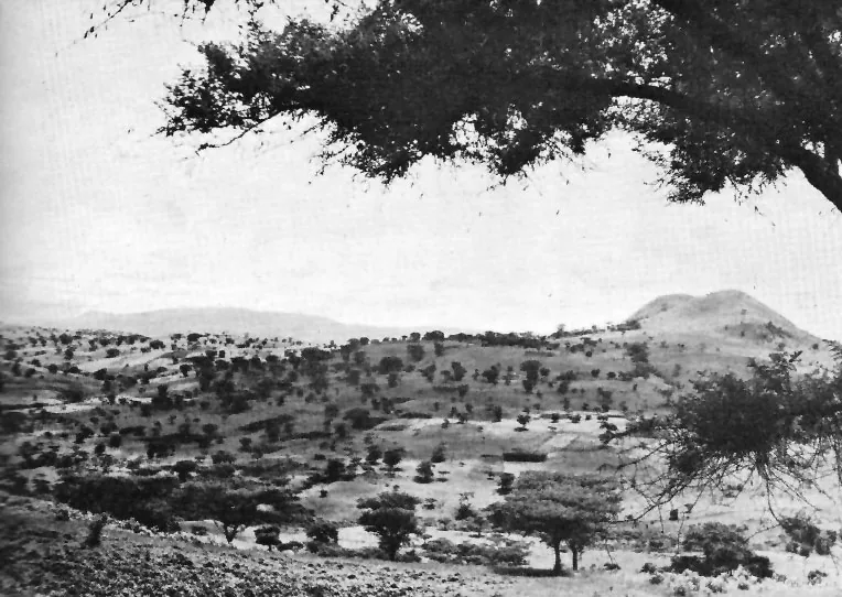
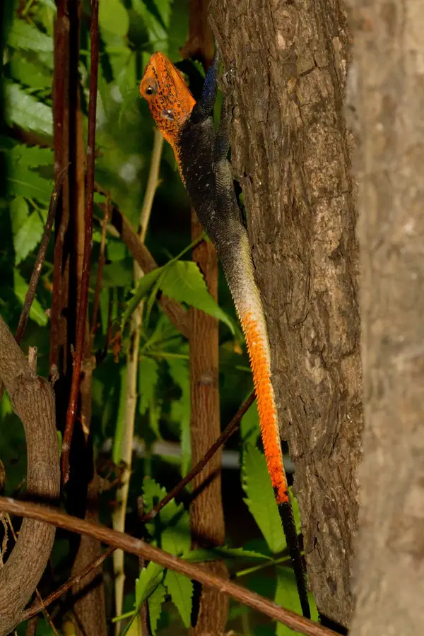
Djebel Selloum is a significant mountain range in west-central Tunisia, situated near the city of Kasserine. It forms part of the Tunisian Dorsal and reaches an impressive elevation of 1,373 meters above sea level. The landscape is characterized by steep limestone flanks and broad plateaus that offer a strategic commanding view over the surrounding plains. Botanically, the vegetation is dominated by Aleppo pine and various Mediterranean scrub species (garigue) adapted to the region's semi-arid climate. Geologically, the massif is the result of complex folding processes during the Alpine orogeny and consists mainly of marine sediments from the Cretaceous period. Throughout history, the mountain has often been a theater of military operations due to its topographical dominance, serving as a natural fortress. Over time, erosion has carved deep gorges and cave systems that are now of scientific interest. Despite its rugged appearance, the mountain supports specialized fauna, including reptiles and raptors that find good nesting conditions in the rocky cliffs.
- Location: Tunisia
- Nearby: Fériana (26 km)
Best time to visit & climate
The most pleasant time to visit is May, Jun, Sep.
| Jan | Feb | Mar | Apr | May | Jun | Jul | Aug | Sep | Oct | Nov | Dec | |
|---|---|---|---|---|---|---|---|---|---|---|---|---|
| Avg °C | 6 | 7 | 11 | 15 | 19 | 24 | 28 | 27 | 23 | 18 | 11 | 7 |
| Rain mm | 35 | 21 | 40 | 31 | 31 | 19 | 9 | 20 | 38 | 32 | 32 | 35 |
📋 Practical info
Geography
Facts
- Highest summit reaches 1,373 meters
- Located in close proximity to the city of Kasserine
- Part of the central Tunisian Dorsal range
- Composed mainly of Cretaceous limestone and marl
- Strategically significant due to its topographical height
- Features deep gorges and limestone cave systems
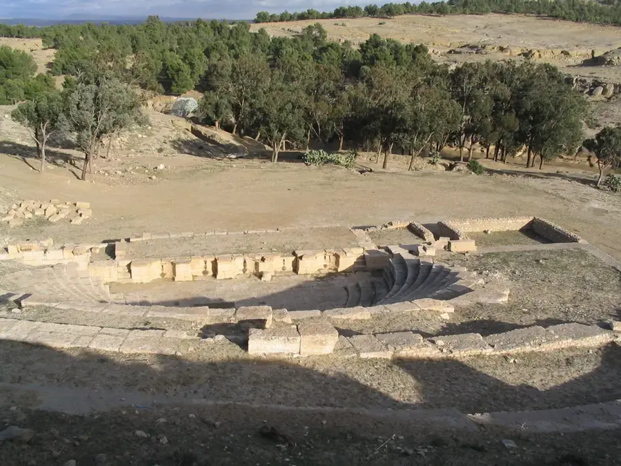
Explore nearby
Notable places around
Route planner — Car & Motorhome
Where do you start? We build the route here, with stops and country notes along the way.
© OpenStreetMap contributors · OpenRouteService
Sights nearby
Frequently asked questions
Is Djebel Selloum accessible for tourists?
What should one look out for when hiking?
Is there drinking water on the mountain?
Is the mountain safe?
What equipment is important?
Djebel Selloum: where is it located?
Djebel Selloum: when is the best time to visit?
Djebel Selloum: why is it worth visiting?

Nearby cities

More places