Plizio Visual Lab
Kasserine
ℹ️Practical info — Kasserine
▾
🌤 Weather — 5 days
📍 Nearby
Sights nearby
💡 Tips
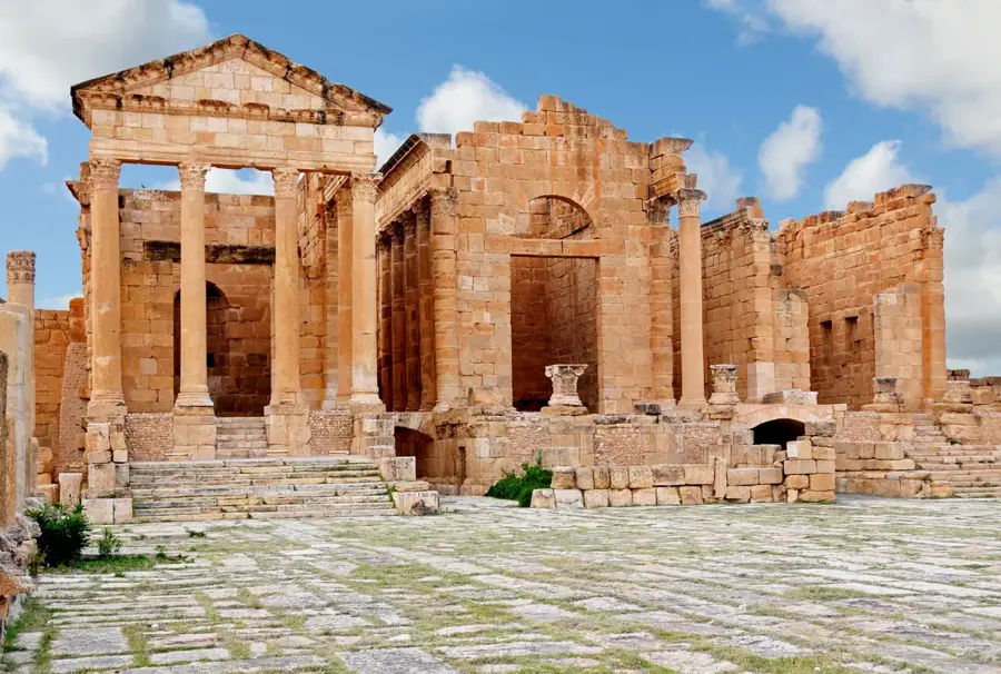
- Visit the nearby Roman ruins of Sbeitla early in the morning to avoid the midday heat.
- Shared taxis (louages) are the most efficient way to travel to neighboring towns.
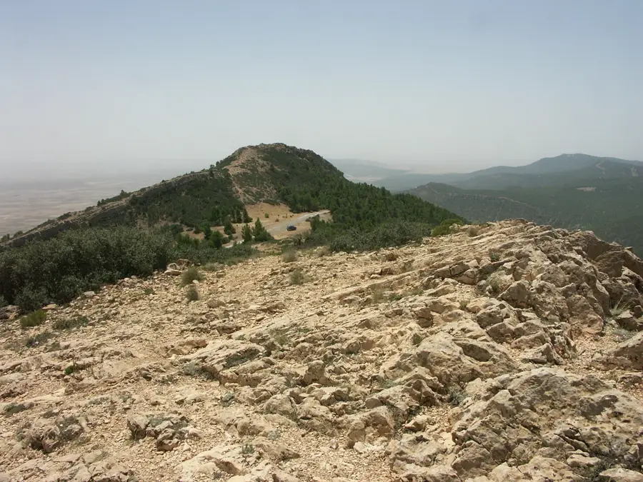
- If hiking near Mount Chambi, always check local security updates first.
- Dress modestly when walking through the city center.
🍽 Food
Crispy pastry filled with egg and tuna, found at local street food stalls.
A traditional hearty dish served in the small diners around the central bus station.
A baked egg and meat dish, more similar to a frittata than the Moroccan version.
🛍 Shopping · 🧘 Quiet spots
A bustling market to buy fresh local produce and high-quality olive oil.
Look for traditionally woven baskets and mats made from local esparto grass.
Provides shaded and peaceful walking paths just outside the main hustle.
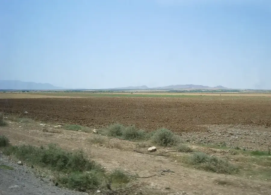
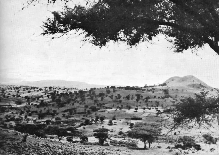
Enjoy the peaceful views of the semi-arid landscape.
Water temperature…
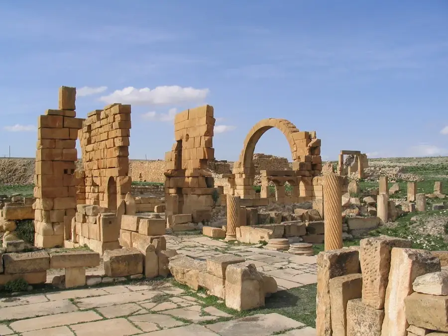
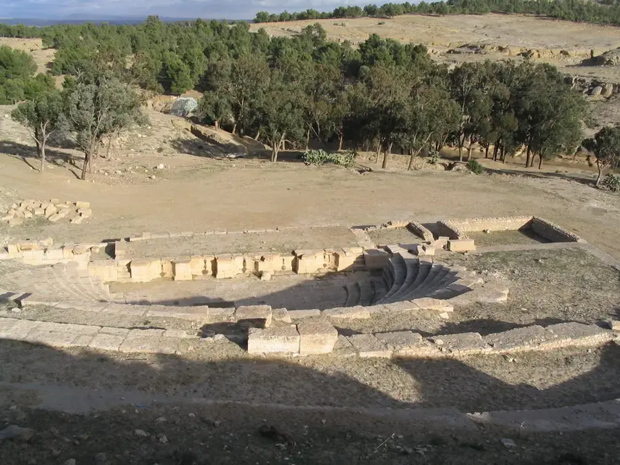
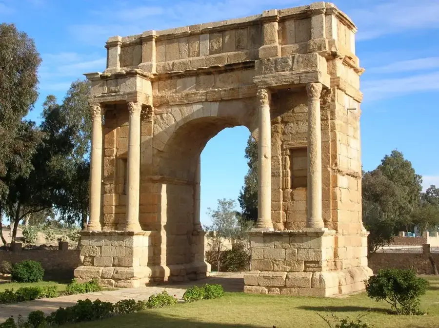
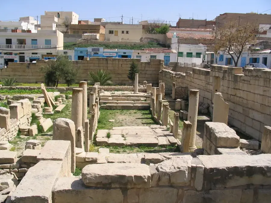
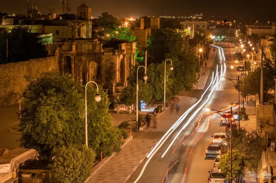
Kasserine, situated at the base of Jebel ech Chambi, Tunisia's highest peak at 1,544 meters, is a city of profound historical, strategic, and environmental significance. Located in the central-western part of the country, it serves as the capital of the Kasserine Governorate and acts as a gateway between the coastal plains and the rugged interior highlands. The city's history dates back to Roman times when it was known as Cillium. Today, it is home to impressive archaeological remains, including the Arch of Septimius Severus and unique multi-story mausoleums that reflect the prosperity of the Roman province of Africa Proconsularis. In modern history, Kasserine is famously associated with the Battle of Kasserine Pass in February 1943 during World War II. This clash was a significant engagement where U.S. forces faced German and Italian units under Field Marshal Erwin Rommel, marking a steep learning curve for the American military in its Mediterranean campaign. Economically, Kasserine is a vital hub for the production of esparto grass (alfa), which is harvested from the surrounding steppes and processed in the local cellulose factory into high-quality paper. The region is also a leading producer of prickly pear cacti, contributing significantly to the national agricultural output and providing raw materials for the pharmaceutical and cosmetic industries. Geographically, the area is characterized by a semi-arid climate and diverse topography, making it a subject of interest for ecological research. The nearby Chambi National Park is a critical biosphere reserve, home to rare fauna like the Barbary sheep and Cuvier's gazelle. Despite its rich resources and heritage, Kasserine has historically been a focal point for social and economic demands, playing a prominent role in the 2011 Tunisian Revolution. Its position near the Algerian border reinforces its logistical importance, maintaining its status as a critical administrative and commercial node in Tunisia's western interior.
- Location: Tunisia
- Top sights: Arch of Colonia Cilliana Cillium · Cillium · Espace l'Art de la Vie
- Nearby: Sbeitla (30 km)
- Population: ~84.365 (2026)
Best time to visit & climate
The most pleasant time to visit is May, Jun, Sep.
| Jan | Feb | Mar | Apr | May | Jun | Jul | Aug | Sep | Oct | Nov | Dec | |
|---|---|---|---|---|---|---|---|---|---|---|---|---|
| Avg °C | 6 | 7 | 11 | 15 | 19 | 24 | 28 | 27 | 23 | 18 | 11 | 7 |
| Rain mm | 35 | 21 | 40 | 31 | 31 | 19 | 9 | 20 | 38 | 32 | 32 | 35 |
Geography
Facts
- Kasserine is located at the foot of Jebel ech Chambi, the highest peak in Tunisia.
- The ancient Roman name for the city was Cillium, founded in the 1st century AD.
- The Battle of Kasserine Pass (1943) was a key conflict during the North African Campaign.
- It is home to the National Society of Cellulose and Alfa Paper (SNCPA).
- The Arch of Septimius Severus is a major landmark dating back to 210-211 AD.
- Kasserine produces a significant portion of Tunisia's organic prickly pear oil.
- The region serves as a biodiversity hotspot for the endangered Cuvier's gazelle.
- Kasserine is the administrative capital of a governorate covering 8,065 km².
Explore nearby
Notable places around
Route planner — Car & Motorhome
Where do you start? We build the route here, with stops and country notes along the way.
© OpenStreetMap contributors · OpenRouteService
Sights in the town Kasserine (6)
Frequently asked questions
Why visit Kasserine?
Is the trip safe?
Are there hotels?
What is the best season?
Is the trip worth it?
Kasserine: where is it located?
Kasserine: what is there to see?
Kasserine: when is the best time to visit?
Kasserine: why is it worth visiting?

Nearby cities

More places