Plizio Visual Lab
Thala
ℹ️Practical info — Thala
▾
🌤 Weather — 5 days
📍 Nearby
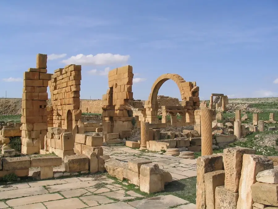
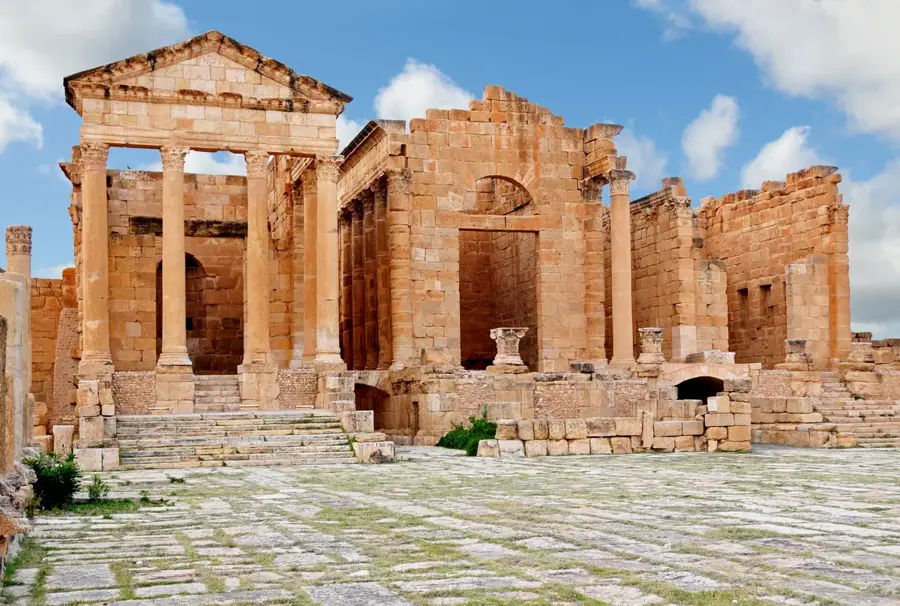
Sights nearby
💡 Tips
- Pack warm clothing; Thala is one of the highest and coldest cities in Tunisia, and snow is common in winter.
- Visit the revolution memorials in the town center, as Thala played a significant historical role.
- The town is a great base for exploring the lesser-known megalithic monuments in the surrounding countryside.
- Taste the local spring water; the region is famous for its clean and refreshing mountain springs.
🍽 Food
A nutritious blend of roasted cereals and spices, often eaten for breakfast in this mountain region.
Look for locally produced honey from the surrounding mountain beekeepers.
Available during the hunting season in specialized restaurants as a hearty mountain dish.
🛍 Shopping · 🧘 Quiet spots
Due to the cold climate, Thala is known for thick, warm traditional weavings.
Often found in earthy tones with simple geometric decorations.
The forests surrounding the town offer fresh air and quiet for long walks.
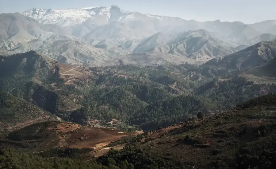
The hills around town provide sweeping views that stretch as far as the Algerian border.
Water temperature…
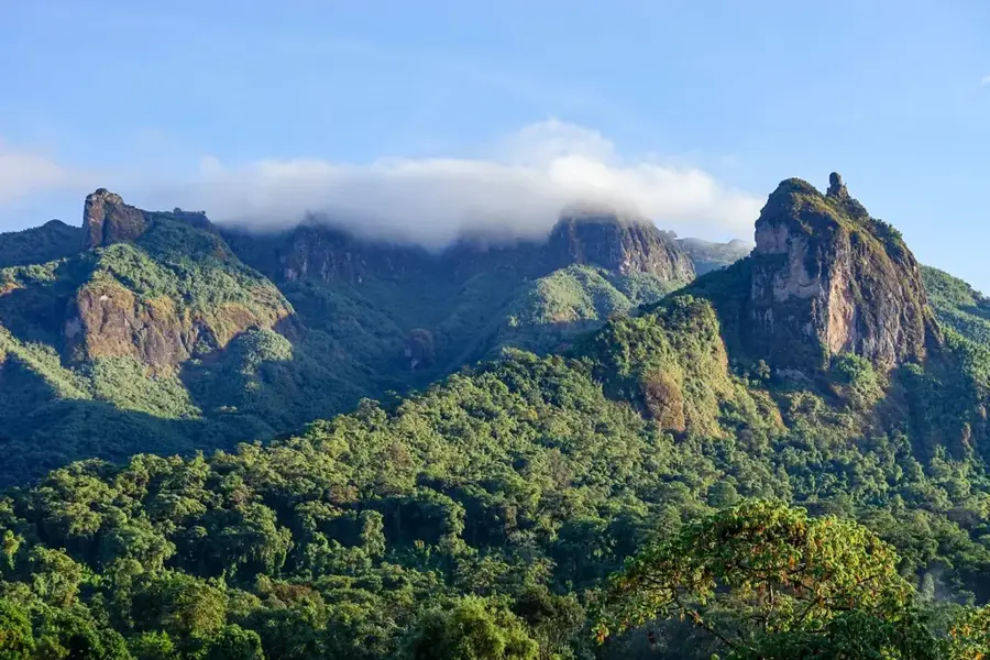
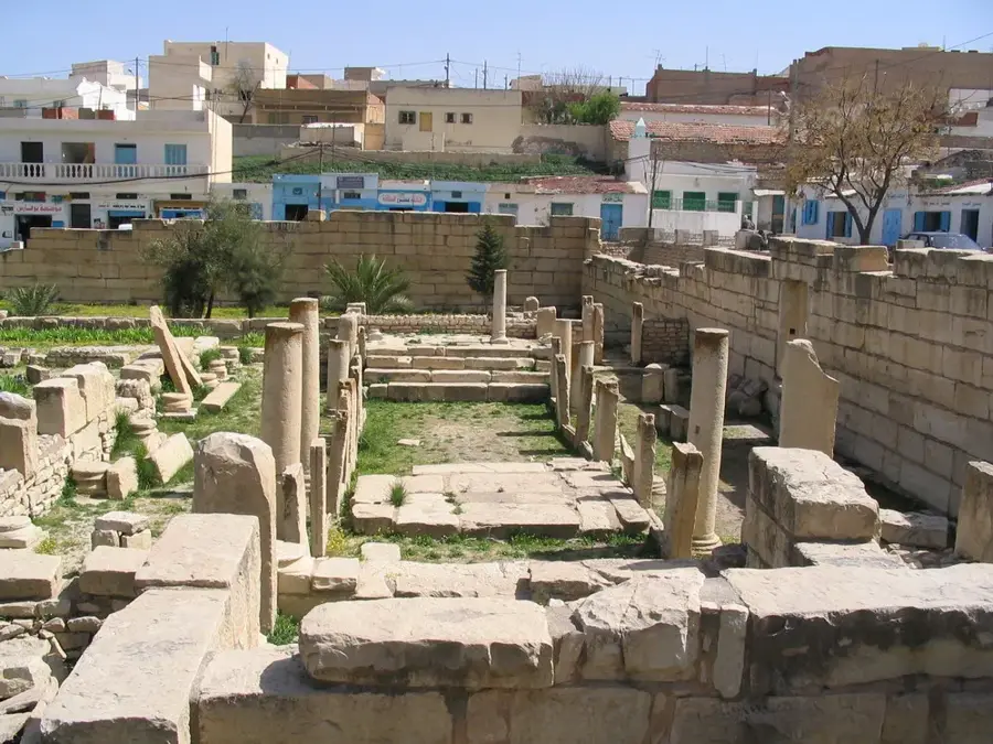
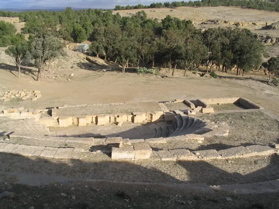
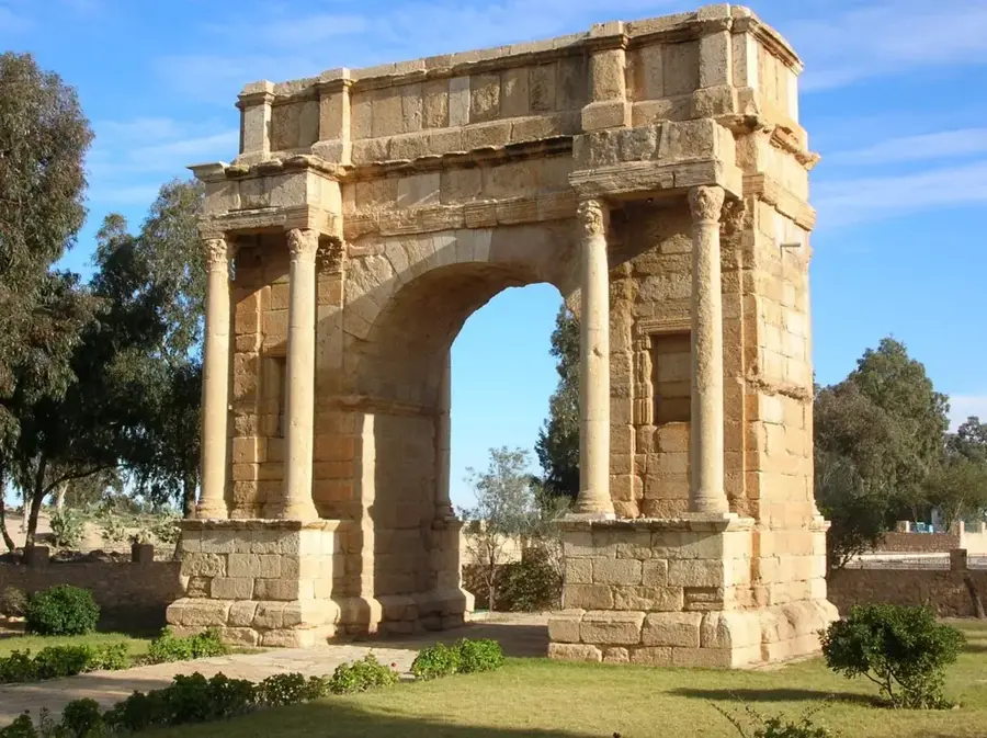
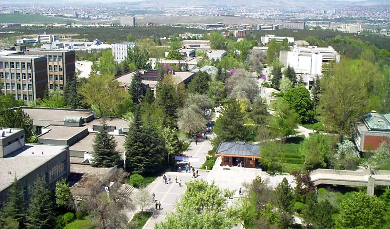
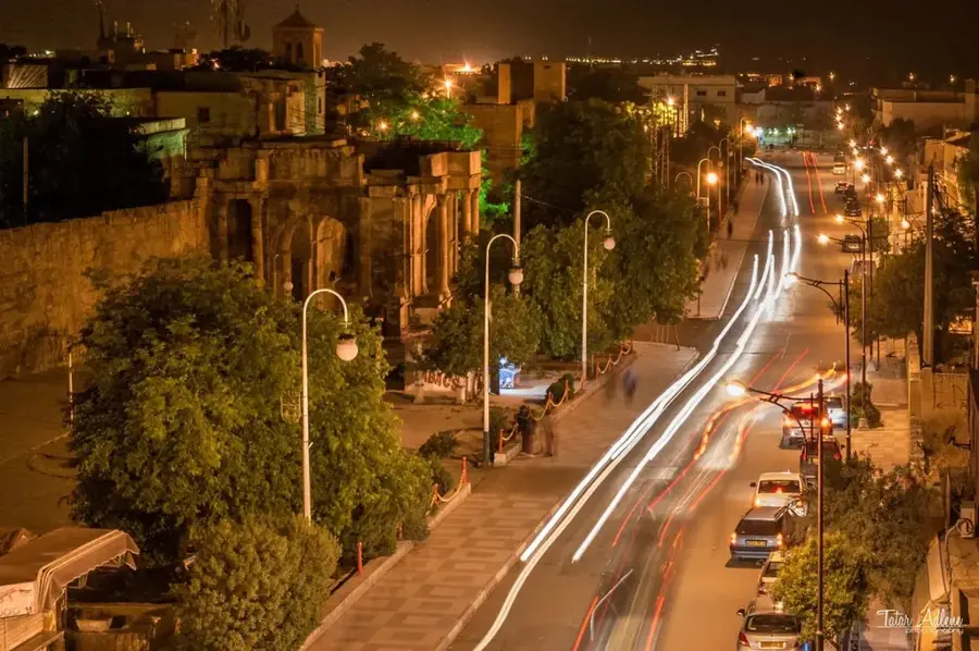
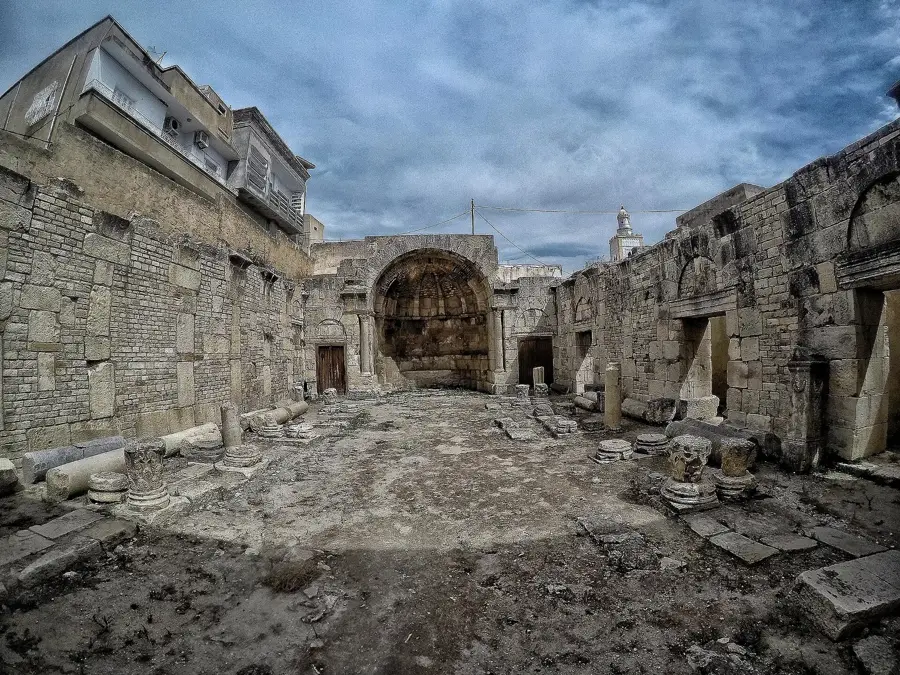
Thala is the highest city in Tunisia, located in the Kasserine Governorate at an altitude exceeding 1,000 meters. The town's history stretches back to the Numidian era, famously serving as a stronghold of resistance during the Jugurthine War against Rome. Due to its elevated position, Thala is known for its harsh climate, frequently experiencing snowfall in winter, a rarity in Tunisia. Historically, the local economy has been rooted in forestry, particularly Alfa grass processing, and the extraction of high-quality marble. During the colonial era and the subsequent struggle for independence, Thala played an active role in the national movement. The surrounding landscape consists of rugged mountains and vast steppes, offering a stark yet impressive natural beauty. Today, Thala maintains a strong sense of local identity and tradition, remaining distinct from the more frequented tourist regions along the coast.
- Location: Tunisia
- Top sights: Thala, Tunisia · Siege of Thala
- Nearby: Sbeitla (55 km)
- Population: ~18.230 (2022)
Best time to visit & climate
The most pleasant time to visit is May, Jun, Sep.
| Jan | Feb | Mar | Apr | May | Jun | Jul | Aug | Sep | Oct | Nov | Dec | |
|---|---|---|---|---|---|---|---|---|---|---|---|---|
| Avg °C | 6 | 7 | 10 | 14 | 18 | 23 | 27 | 26 | 21 | 17 | 11 | 7 |
| Rain mm | 48 | 33 | 57 | 40 | 34 | 20 | 11 | 25 | 48 | 46 | 37 | 48 |
Geography
Facts
- Tunisia's highest city, situated at an elevation of 1,017 meters
- Significant site during the Jugurthine War against the Romans
- Renowned for experiencing regular snowfall during winter months
- Major center for the quarrying of premium quality marble
- Rich in natural springs, most notably Ain Thala
- Plays a central role in the national production of Alfa grass
Explore nearby
Notable places around
Route planner — Car & Motorhome
Where do you start? We build the route here, with stops and country notes along the way.
© OpenStreetMap contributors · OpenRouteService
Frequently asked questions
What is Thala known for?
How much time should I allocate for Thala?
Is the area family-friendly?
What is the best season to visit Thala?
What is the best way to travel to Thala?
Thala: where is it located?
Thala: what is there to see?
Thala: when is the best time to visit?
Thala: why is it worth visiting?

Nearby cities

More places