Plizio Visual Lab
Cedros Port
Weather…
Water temperature…
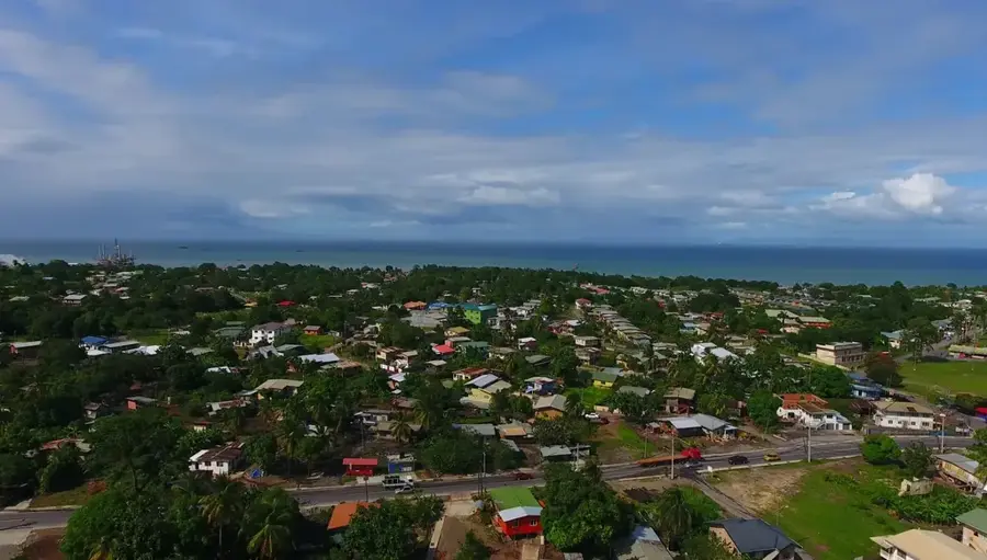
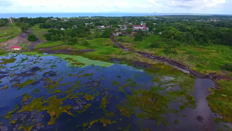
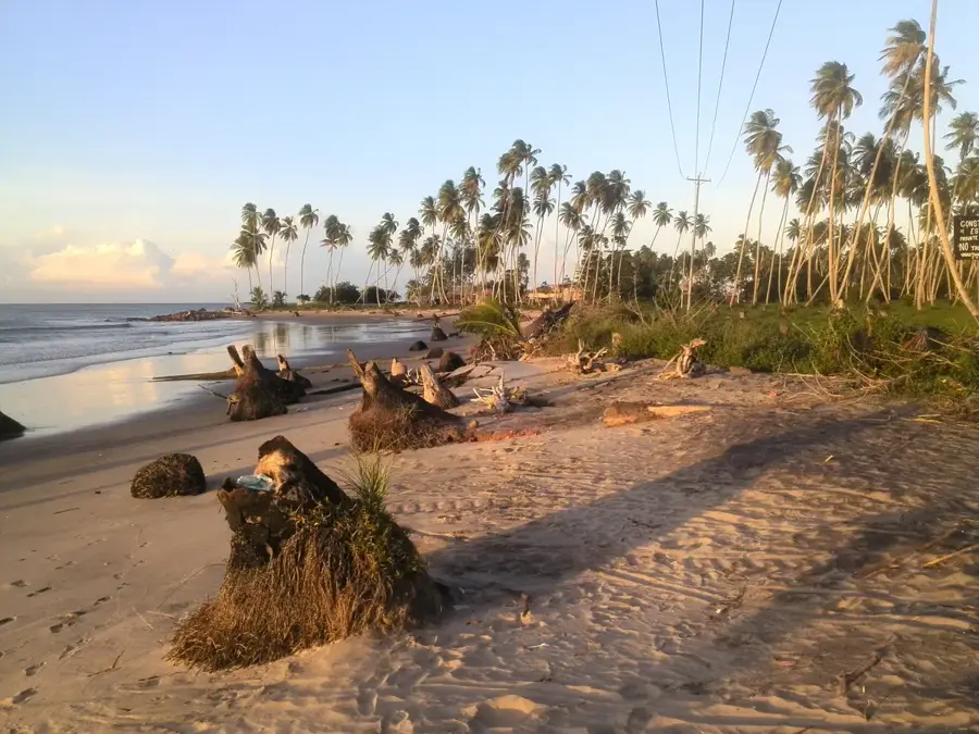
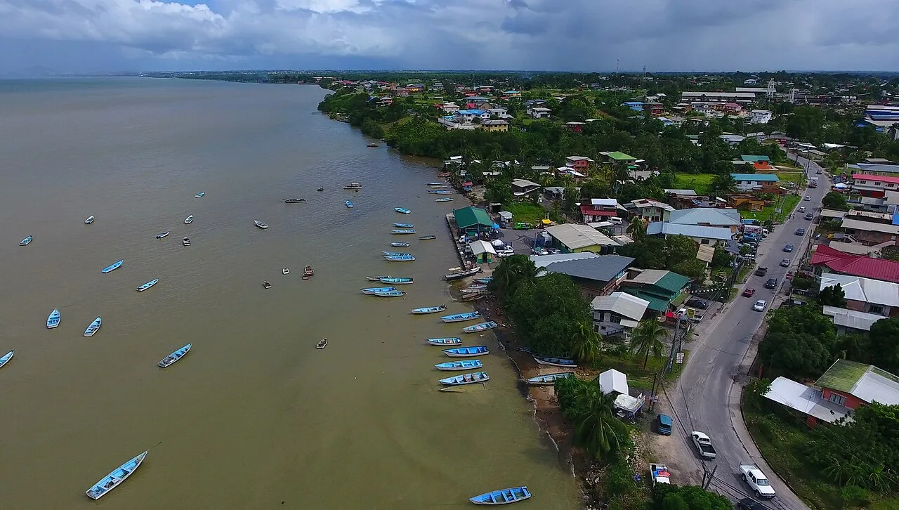
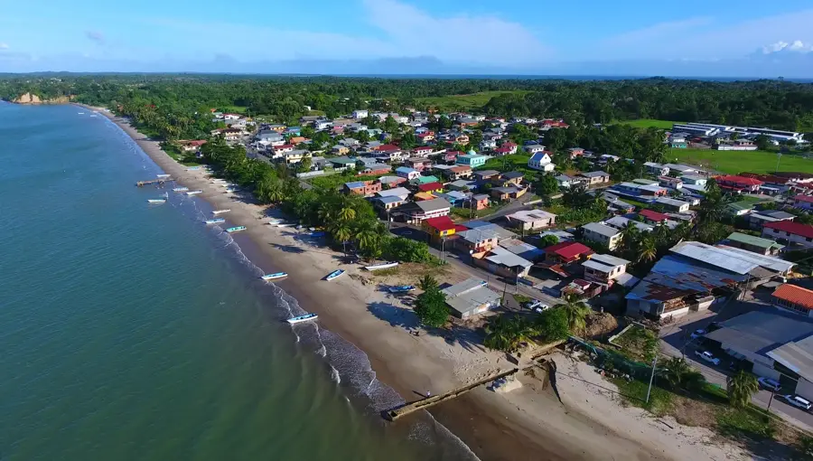
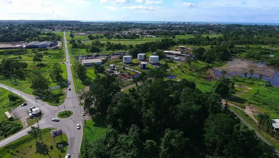
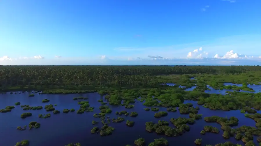
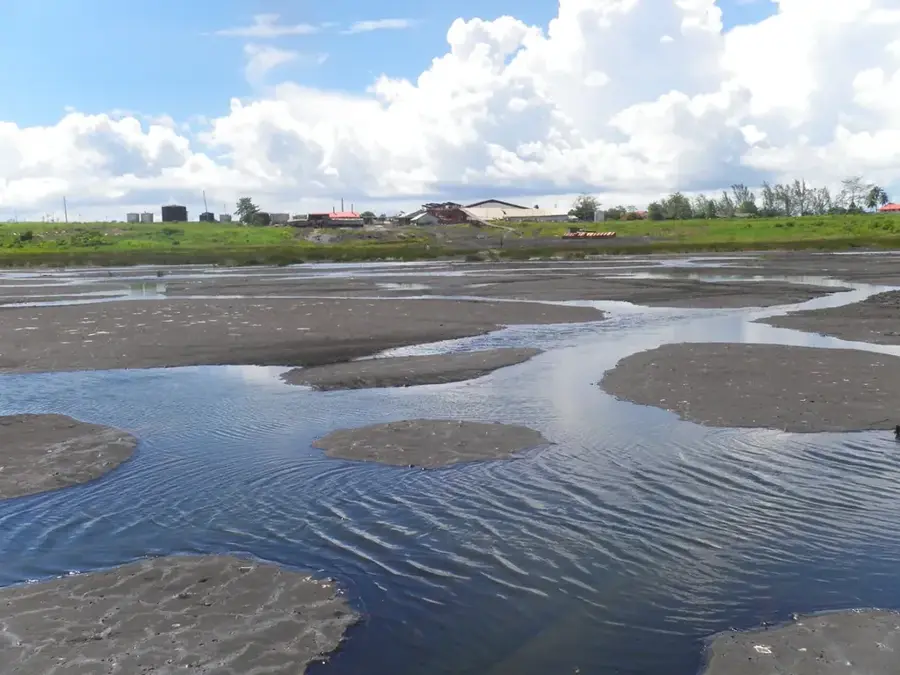
Cedros Port is located at the extreme southwestern tip of Trinidad, at the narrowest point of the Gulf of Paria across from the coast of Venezuela. Due to its geographic proximity to the South American mainland, it functions as an official port of entry with a customs and immigration station. Historically, the port has been a hub for fishing and small-scale trade with Venezuela, with boats transporting fresh produce and other goods daily. The infrastructure is modest compared to the country's major industrial ports, consisting primarily of a long pier extending into the shallow waters. In recent years, Cedros has gained significance as a strategic checkpoint for maritime border surveillance. The surrounding region is rural and well-known for its coconut plantations, giving the port a quiet, village-like atmosphere. Despite its small size, Cedros plays a vital role in local supply chains and cross-border relations in the southern Caribbean.
- Location: Trinidad and Tobago
- Nearby: Point D'Or (10 km)
Best time to visit & climate
The most pleasant time to visit is Feb–Apr.
| Jan | Feb | Mar | Apr | May | Jun | Jul | Aug | Sep | Oct | Nov | Dec | |
|---|---|---|---|---|---|---|---|---|---|---|---|---|
| Avg °C | 26 | 26 | 27 | 28 | 28 | 27 | 27 | 28 | 28 | 28 | 27 | 27 |
| Rain mm | 97 | 56 | 48 | 55 | 125 | 237 | 220 | 220 | 154 | 186 | 209 | 174 |
📋 Practical info
Geography
Facts
- Southernmost port of entry in Trinidad
- Only about 11 km from Venezuela
- Site of a Coast Guard station
- Hub for regional artisanal fishing
- Features customs and immigration post
- Known for surrounding coconut production
Explore nearby
Notable places around
Route planner — Car & Motorhome
Where do you start? We build the route here, with stops and country notes along the way.
© OpenStreetMap contributors · OpenRouteService
Sights nearby
Frequently asked questions
What characterizes the Cedros port?
Are there connections to Venezuela?
Is this a popular place for vacationers?
How is the infrastructure?
Can you buy fresh fish there?
Cedros Port: where is it located?
Cedros Port: when is the best time to visit?
Cedros Port: why is it worth visiting?
Nearby cities
Nature
More places