Plizio Visual Lab
Cerro Cara de Iguana
Weather…
Water temperature…
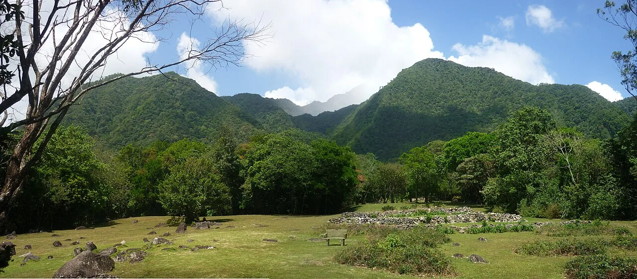
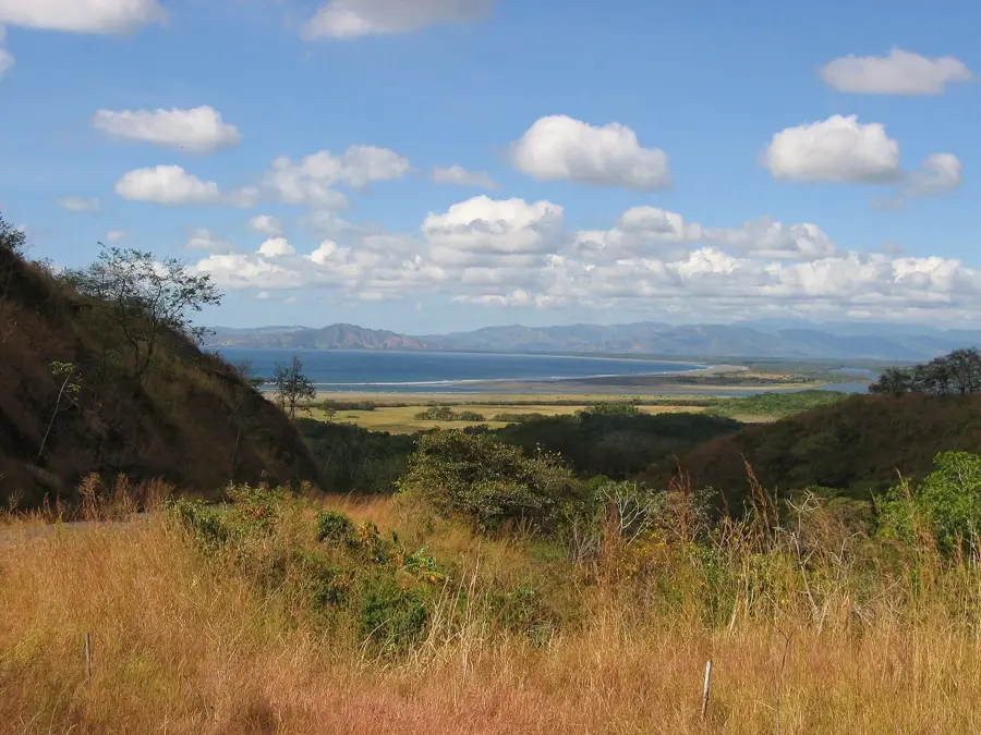
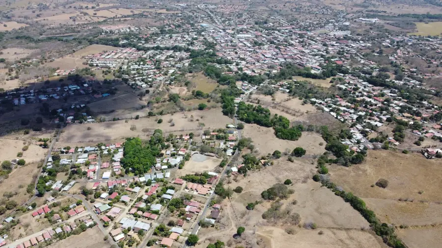
Cerro Cara de Iguana is a prominent geological formation on the western rim of the El Valle de Antón volcanic crater in the Coclé Province of Panama. Its name is derived from the mountain's characteristic silhouette, which, from certain perspectives in the valley, bears a striking resemblance to the profile of a sleeping iguana's head. The mountain is part of the massive, extinct volcanic caldera, which, with a diameter of about six kilometers, is among the largest inhabited calderas in the world. A well-trodden hiking trail leads to the summit, from which visitors can enjoy a spectacular 360-degree panoramic view of the entire village of El Valle, the Indio River, and the peaks of the Cordillera Central. Climatic conditions at the summit are noticeably cooler than in the rest of the country due to constant trade winds and elevation, supporting unique highland vegetation. Geologically, the Cerro stands as a testament to the region's intense volcanic history, shaped millions of years ago by massive eruptions. Today, it is a symbol of ecological tourism.
- Location: Panama
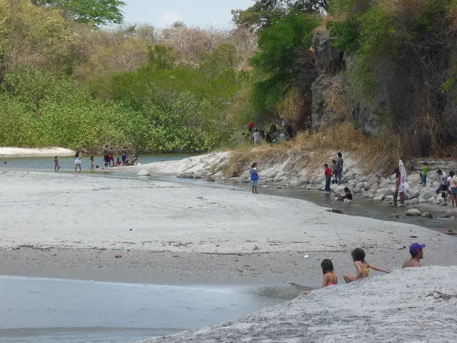
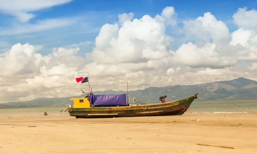
- Nearby: Farallón / Río Hato (8 km)
Best time to visit & climate
The most pleasant time to visit is Jan–Mar.
| Jan | Feb | Mar | Apr | May | Jun | Jul | Aug | Sep | Oct | Nov | Dec | |
|---|---|---|---|---|---|---|---|---|---|---|---|---|
| Avg °C | 26 | 26 | 27 | 28 | 27 | 27 | 27 | 27 | 26 | 26 | 26 | 26 |
| Rain mm | 21 | 9 | 15 | 108 | 278 | 273 | 246 | 255 | 279 | 275 | 269 | 111 |
📋 Practical info
Geography
Facts
- The summit is located on the rim of one of the world's largest inhabited calderas.
- Its name translates to 'Iguana Face Hill' in Spanish.
- The mountain is part of a dormant stratovolcano.
- The hiking trail to the summit takes approximately 45 to 60 minutes.
- On clear days, the Pacific coast can be seen from the summit.
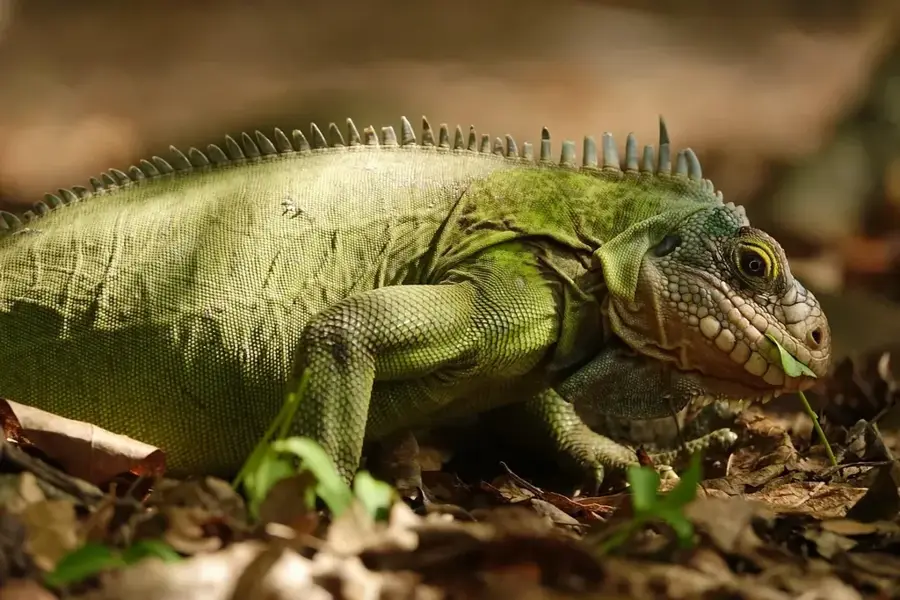
- The region is famous for its rare golden frogs.
Explore nearby
Notable places around
Route planner — Car & Motorhome
Where do you start? We build the route here, with stops and country notes along the way.
© OpenStreetMap contributors · OpenRouteService
Sights nearby
Frequently asked questions
How did the name Cerro Cara de Iguana originate?
Is the mountain accessible for hiking?
What season is best?
Are there guided tours?
What is the biggest challenge on the path?
Cerro Cara de Iguana: where is it located?
Cerro Cara de Iguana: when is the best time to visit?
Cerro Cara de Iguana: why is it worth visiting?

Nearby cities
History & landmarks

Nature
More places