Plizio Visual Lab
Larreynaga (Malpaisillo)

ℹ️Practical info — Larreynaga (Malpaisillo)
▾
🌤 Weather — 5 days
📍 Nearby
Sights nearby
💡 Tips
- The town is a good base for climbing the Maribios volcanic chain; start hikes very early to beat the heat.
- Dust from unpaved roads and volcanic ash is common; a bandana or face mask is very useful.
- Public buses to Leon are cheap but often crowded; keep exact small change ready.
- ATMs might be scarce or empty; carry enough Cordobas in cash for your daily expenses.
🍽 Food
Cheese and pickled onions in a tortilla, a quick snack at local street stands.
A traditional Nicaraguan weekend meal, often sold at private houses marked with small signs.
The staple Nicaraguan rice and bean dish, served in the simple eateries at the central market.
🛍 Shopping · 🧘 Quiet spots
The place to go for fresh tropical fruits, vegetables, and basic daily supplies.
Small bakeries scattered around town, great for picking up fresh sweet bread in the morning.
Sit under the large shade trees during the hottest parts of the day.
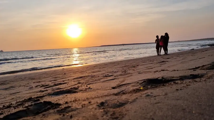
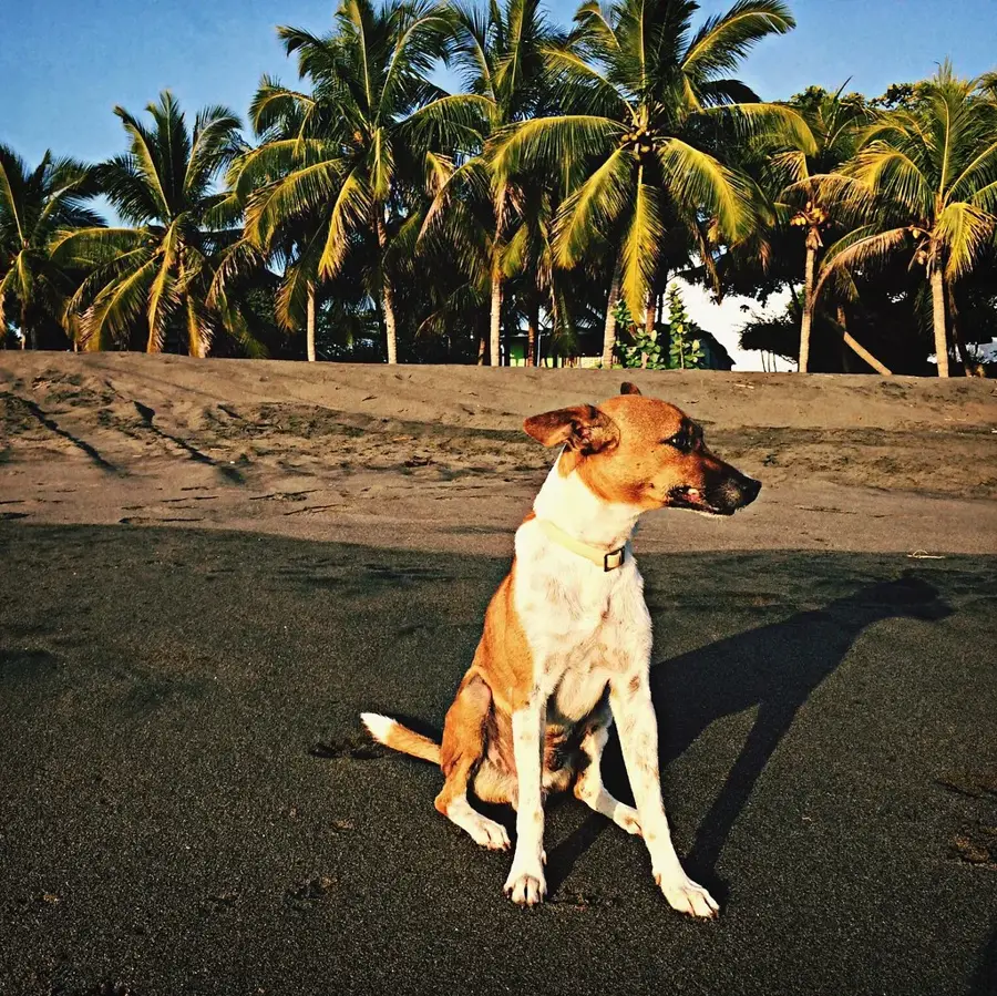
Walk to the edges of town for a quiet view and great sunset photography.
Water temperature…
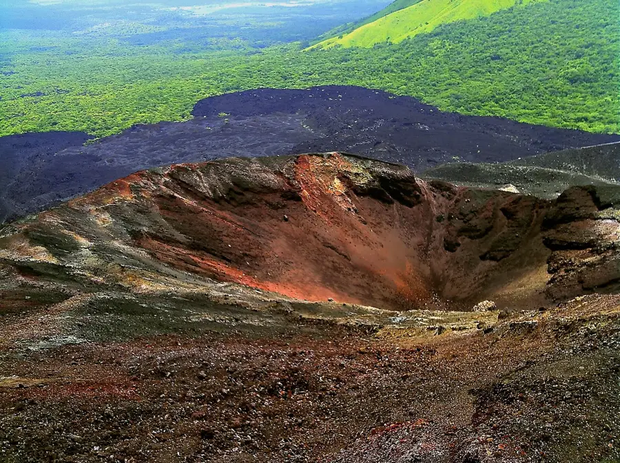
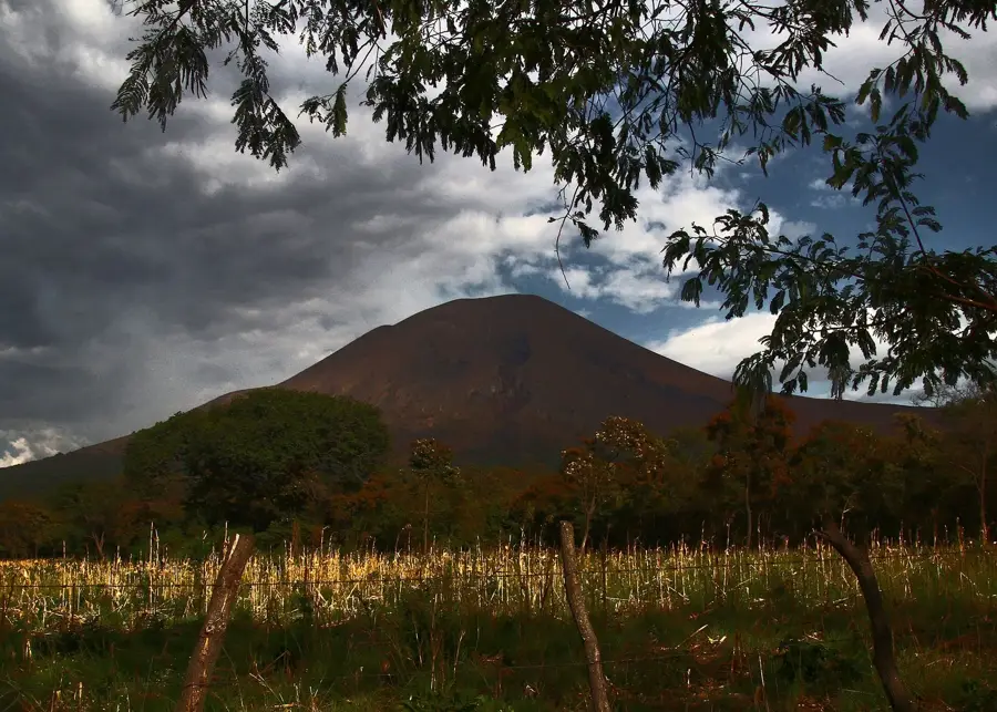
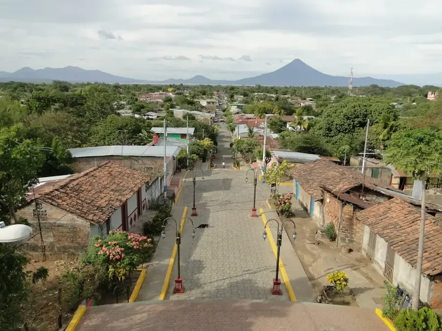
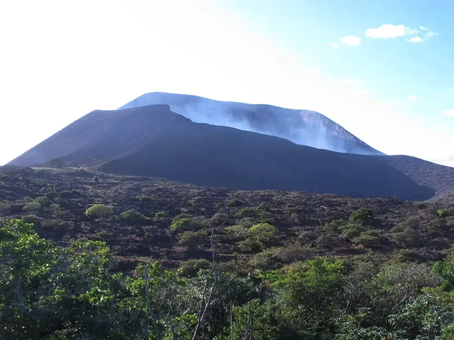
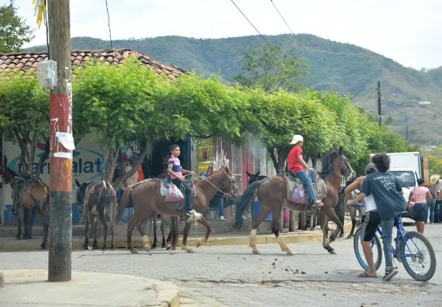
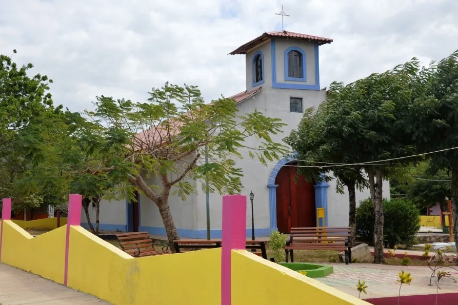
Larreynaga, often referred to after its main town Malpaisillo, is a significant municipality in the León Department, officially founded in 1944. It is named after the famous Nicaraguan scholar and independence hero Miguel Larreynaga. The region is situated in close proximity to the Maribios volcanic chain, which shapes the landscape with the presence of volcanoes such as Cerro Negro and Telica. This volcanic activity provides extremely fertile soils but also makes the area susceptible to natural phenomena. Economically, the region was historically a center for cotton cultivation but has diversified in recent decades into livestock ranching and the farming of grains and oilseeds. Malpaisillo serves as the administrative and commercial hub for the surrounding rural settlements. The urban planning is characterized by a regular grid pattern typical of newer Nicaraguan foundations. The municipality plays a strategic role in transportation, as it is located on the connecting road between the northern departments and the Pacific coast, boosting local trade.
- Location: Nicaragua
- Nearby: San Juan de Limay (5 km)
- Population: ~7.703 (2026)
Best time to visit & climate
The most pleasant time to visit is Jan, Feb, Dec.
| Jan | Feb | Mar | Apr | May | Jun | Jul | Aug | Sep | Oct | Nov | Dec | |
|---|---|---|---|---|---|---|---|---|---|---|---|---|
| Avg °C | 26 | 28 | 29 | 30 | 29 | 27 | 27 | 27 | 26 | 26 | 25 | 26 |
| Rain mm | 2 | 3 | 8 | 32 | 192 | 208 | 108 | 157 | 281 | 273 | 58 | 11 |
Geography
Facts
- The municipality of Larreynaga was founded on August 11, 1944, by legislative decree.
- Cerro Negro, one of the youngest and most active volcanoes in the Americas, is located nearby.
- Malpaisillo is situated about 40 kilometers east of the departmental capital, León.
- The economy today is strongly based on the cultivation of peanuts and sorghum.
- The region records some of the highest temperatures in all of Nicaragua during the summer.
- Miguel Larreynaga, the namesake, was a co-signatory of Central America's Declaration of Independence.
Explore nearby
Notable places around
Route planner — Car & Motorhome
Where do you start? We build the route here, with stops and country notes along the way.
© OpenStreetMap contributors · OpenRouteService
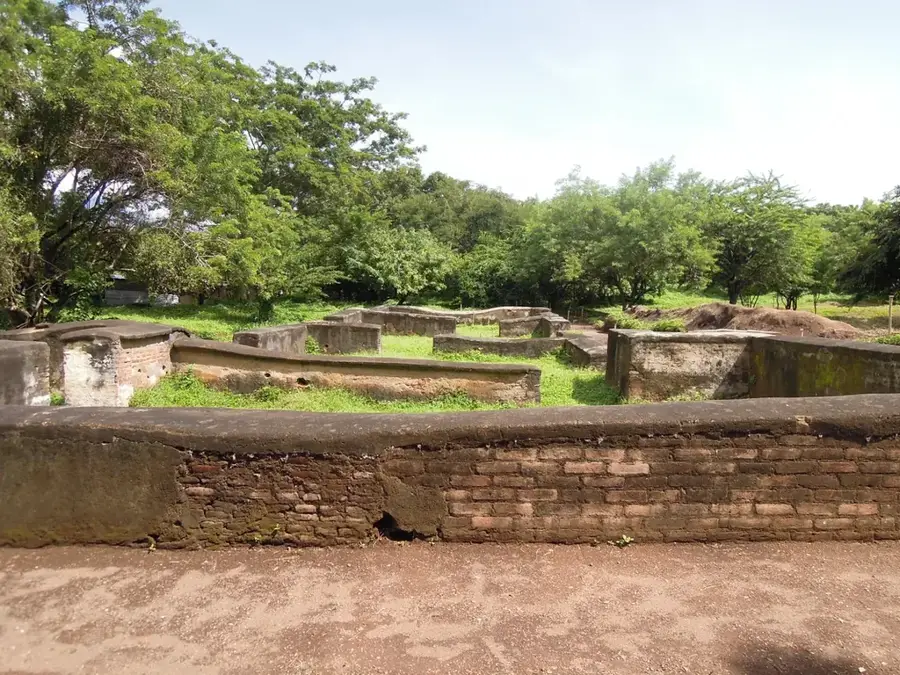
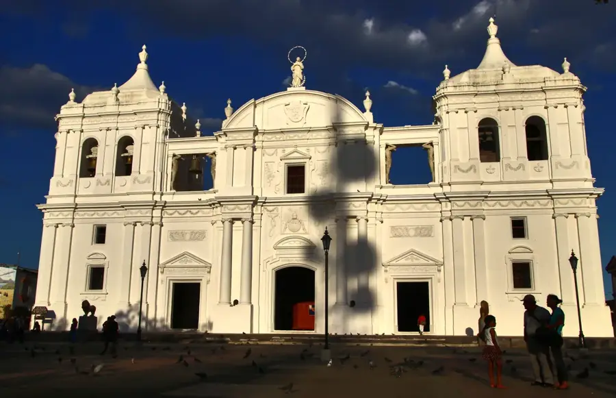
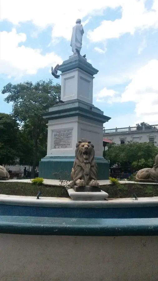
Sights in the town Larreynaga (Malpaisillo) (1)
Frequently asked questions
What is typical for Larreynaga (Malpaisillo)?
How do I reach the location?
Are there any attractions?
Which season is best?
How long does a visit take?
Larreynaga (Malpaisillo): where is it located?
Larreynaga (Malpaisillo): when is the best time to visit?
Larreynaga (Malpaisillo): why is it worth visiting?

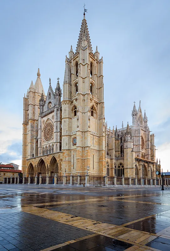
Nearby cities
History & landmarks
More places