Plizio Visual Lab
Telica
ℹ️Practical info — Telica
▾
🌤 Weather — 5 days
📍 Nearby
Sights nearby
💡 Tips
- Plan your hike to the Telica Volcano for late afternoon to see the glowing lava inside the crater after sunset.
- Be sure to bring a strong headlamp, as the descent from the volcano will be in total darkness.
- Carry at least 3-4 liters of water per person; the hike is hot and there is no shade along the trail.
- Visit the nearby San Jacinto mud pits ('Hervideros') to see volcanic activity and steaming fumaroles up close.
- Wear sturdy hiking boots, as the volcanic rock can be sharp and unstable underfoot.
🍽 Food
In the small village 'comedores', you can get the best traditional breakfast with fresh local cheese.
A popular snack of tortilla, cheese, and onions, often found at stalls along the main road to León.
Look for houses with 'Tortillas' signs to buy them warm and fresh directly from the grill.
🛍 Shopping · 🧘 Quiet spots
At the mud pits, local children often sell small figurines made from clay or volcanic rock.
A small market in the village center for fresh fruits and basic supplies.
The vast areas at the base of Telica offer a peaceful, almost alien landscape for walking.
Away from the main fumaroles, you can find quiet paths through the dry scrubland.
Water temperature…
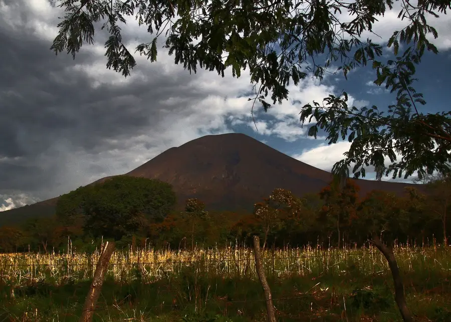
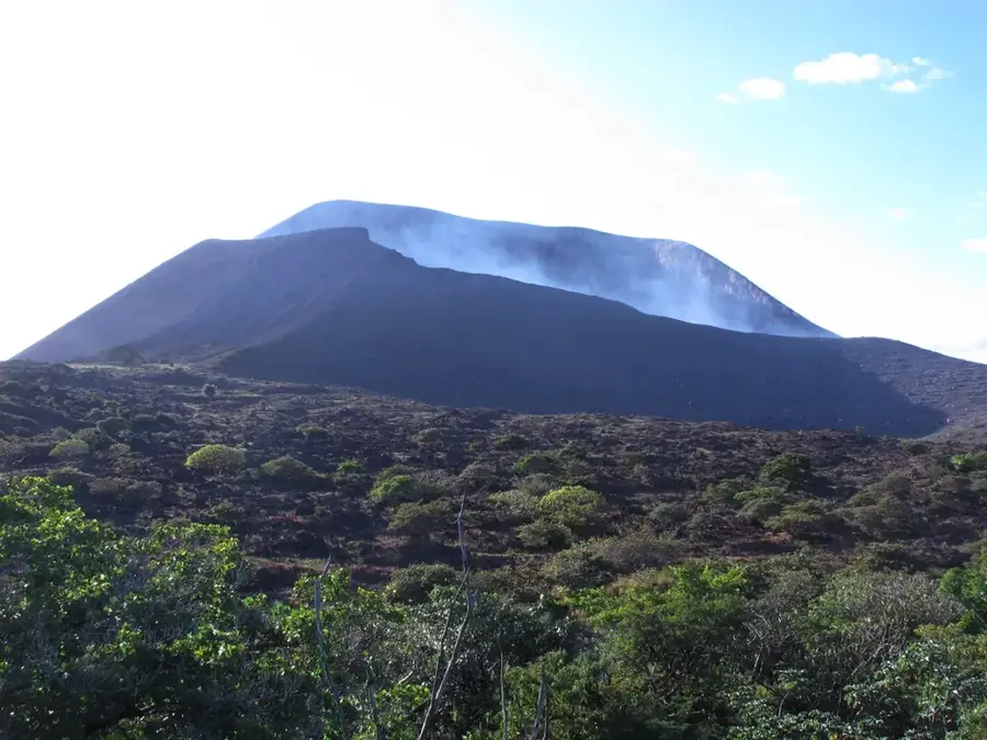
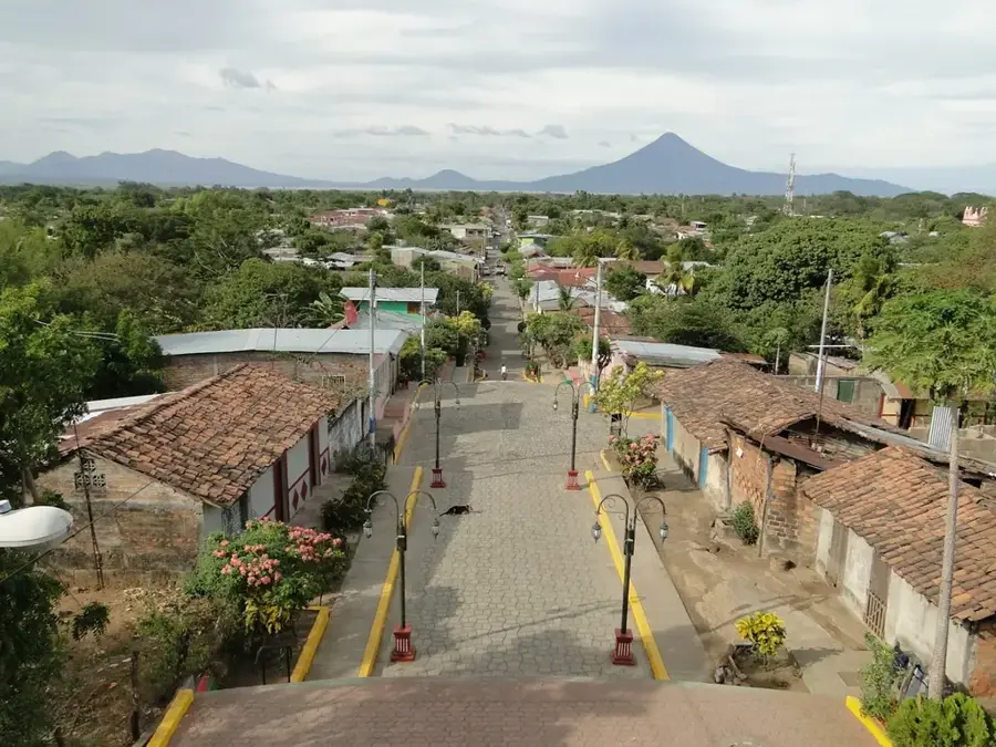
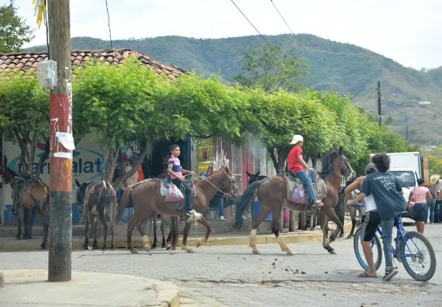
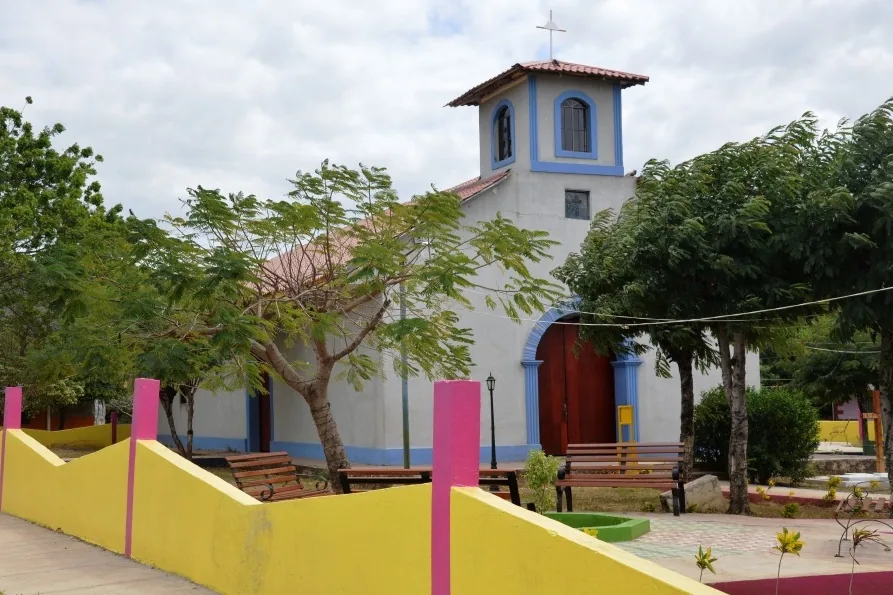
Telica is a municipality in the León department of Nicaragua, located approximately 10 kilometers west of the city of León. The town is fundamentally defined by its proximity to the Telica Volcano, one of the most consistently active volcanic structures in the country, rising to an elevation of 1,061 meters. Historically, the settlement was elevated to the status of a town in 1858 and has since functioned as a strategic agricultural hub within the region. The surrounding landscape, part of the Cordillera de los Maribios, features exceptionally fertile soils enriched by volcanic ash, suitable for cultivating cotton, corn, and beans. Geologically, the area is noted for its intense geothermal activity, which has been harnessed for sustainable energy production through local power plants. Culturally, Telica maintains traditional Spanish colonial influences, most visible during the annual festivities honoring its patron saint, James the Apostle. Today, the town serves as a critical base for volcanologists monitoring seismic activity and for eco-tourists exploring the rugged volcanic terrain. The local economy relies on a blend of traditional agriculture, modern geothermal energy ventures, and increasing scientific tourism interests.
- Location: Nicaragua
- Nearby: Cinco Pinos (5 km)
- Population: ~8.776 (2018)
Best time to visit & climate
The most pleasant time to visit is Jan, Feb, Dec.
| Jan | Feb | Mar | Apr | May | Jun | Jul | Aug | Sep | Oct | Nov | Dec | |
|---|---|---|---|---|---|---|---|---|---|---|---|---|
| Avg °C | 28 | 29 | 30 | 31 | 29 | 28 | 28 | 29 | 28 | 27 | 27 | 27 |
| Rain mm | 2 | 2 | 8 | 35 | 216 | 229 | 114 | 173 | 299 | 294 | 68 | 10 |
Geography
Facts
- The Telica Volcano stands at 1,061 meters and features a 700-meter wide crater.
- Telica was officially granted the status of a town on May 11, 1858.
- The San Jacinto-Tizate geothermal plant is located within the municipality's boundaries.
- The volcano is famous for its persistent fumarolic activity and frequent ash explosions.
- Agriculture accounts for over 60% of the local economic productivity.
- The town is situated within the Maribios mountain range, a major volcanic axis.
Explore nearby
Notable places around
Route planner — Car & Motorhome
Where do you start? We build the route here, with stops and country notes along the way.
© OpenStreetMap contributors · OpenRouteService
Frequently asked questions
Why is Telica famous?
Is the volcano safe to climb?
How much time for the volcano?
How do I get to Telica?
Are there accommodation options?
Telica: where is it located?
Telica: when is the best time to visit?
Telica: why is it worth visiting?

Nearby cities
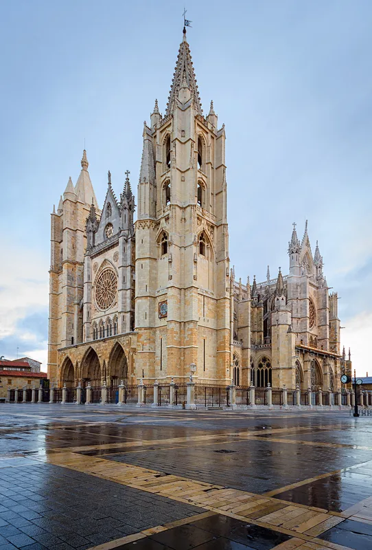
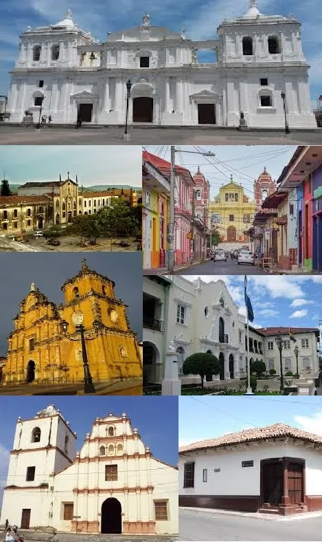
History & landmarks
More places