Plizio Visual Lab
Victoria Lines
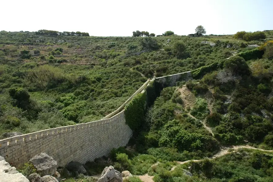
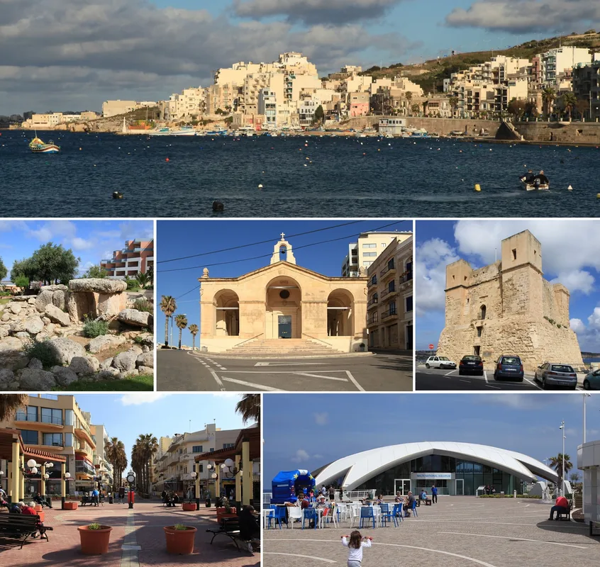
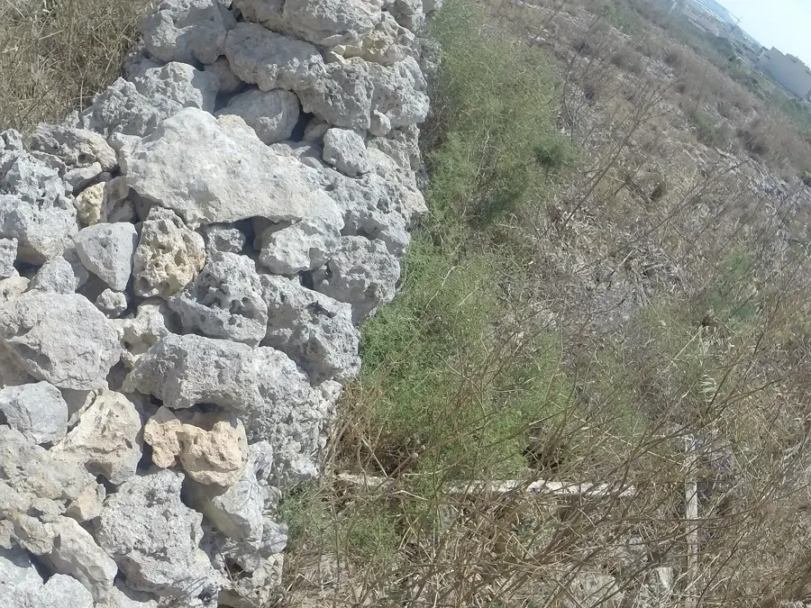
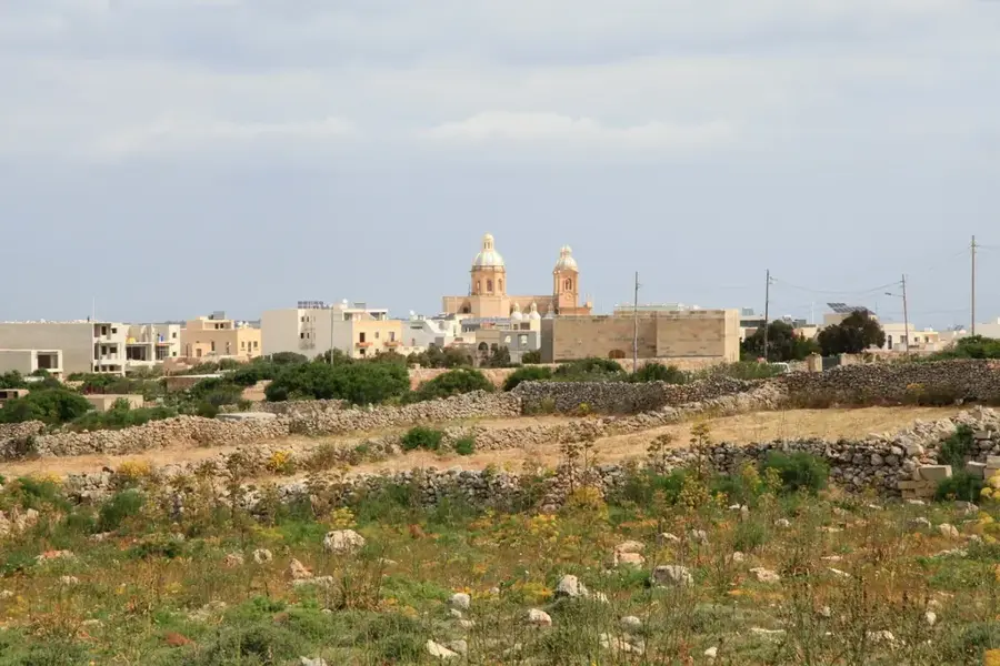
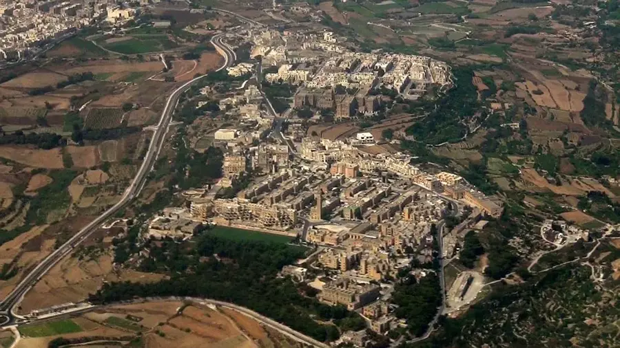
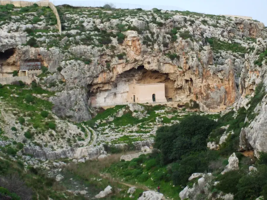
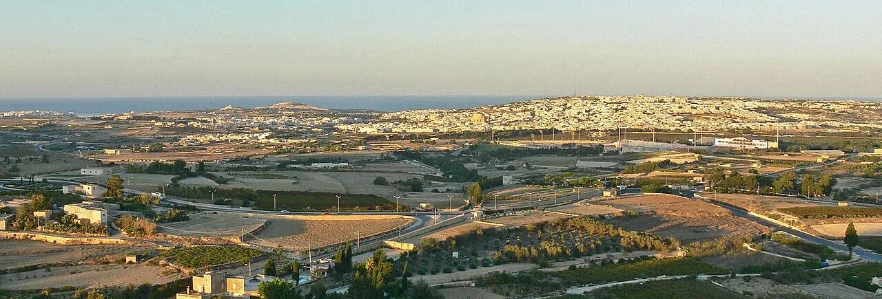
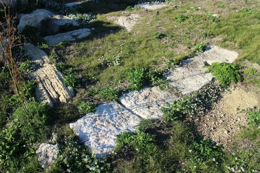
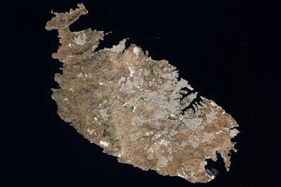
The Victoria Lines, often referred to as the 'Great Wall of Malta,' are a complex system of fortifications stretching 12 kilometers across the width of the island. Built by the British military between 1870 and 1899, the lines were strategically constructed along the natural geographic barrier of the Great Fault. Their primary objective was to defend the densely populated southern part of Malta and the Grand Harbour from an invasion landing in the north. The defensive line connects three major forts: Fort Binġemma, Fort Mosta, and Fort Madliena, linked by a continuous infantry wall. The structure utilizes the steep limestone ridges to create a formidable barrier, incorporating gun batteries, trenches, and searchlight emplacements. Despite the massive engineering effort, the lines never saw actual combat and became strategically obsolete with the advent of aerial warfare in the early 20th century. Today, the Victoria Lines serve as a scenic heritage trail for hikers, offering unparalleled views of the Maltese countryside. They were added to the UNESCO World Heritage tentative list in 1998.
- Location: Malta
- Top sights: Ta Bistra Catacombs · Tarġa Battery · Cart Ruts
- Nearby: Attard (4 km)
Best time to visit & climate
The most pleasant time to visit is May–Jul.
| Jan | Feb | Mar | Apr | May | Jun | Jul | Aug | Sep | Oct | Nov | Dec | |
|---|---|---|---|---|---|---|---|---|---|---|---|---|
| Avg °C | 15 | 14 | 15 | 16 | 19 | 23 | 26 | 27 | 25 | 23 | 20 | 16 |
| Rain mm | 74 | 65 | 51 | 33 | 17 | 11 | 4 | 10 | 63 | 82 | 95 | 82 |
📋 Practical info
Geography
Facts
- The Victoria Lines span a total length of 12 kilometers (7.5 miles).
- They were constructed by the British between 1870 and 1899.
- The lines are built along the crest of the geological 'Great Fault'.
- The system links Fort Binġemma, Fort Mosta, and Fort Madliena.
- They were officially named in 1897 to mark Queen Victoria's Diamond Jubilee.
- The fortifications were decommissioned for military use in 1907.
Explore nearby
Notable places around
Route planner — Car & Motorhome
Where do you start? We build the route here, with stops and country notes along the way.
© OpenStreetMap contributors · OpenRouteService
Sights in the town Victoria Lines (9)
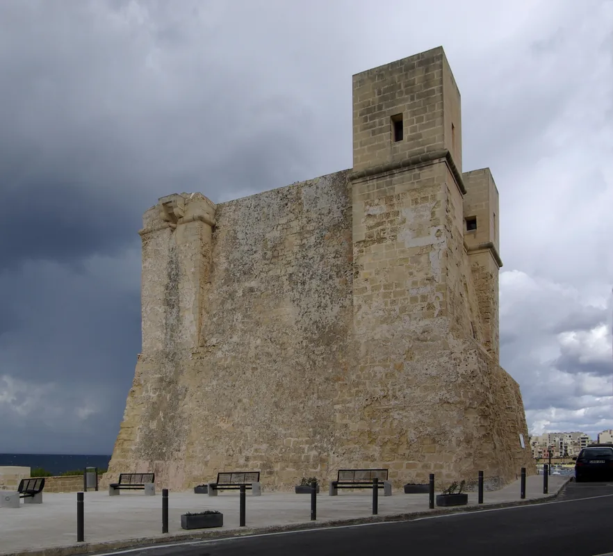
Fort Mosta
Fort in Mosta, Malta. Historic defensive structure.
Mosta Valley Climbing
Climbing area in Mosta Valley, Malta.
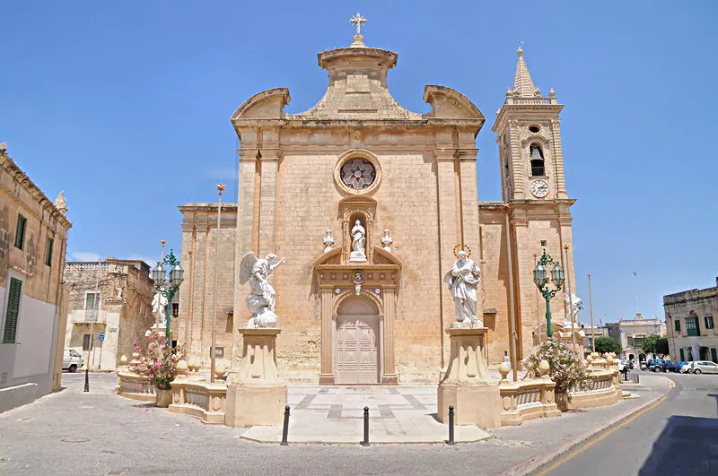
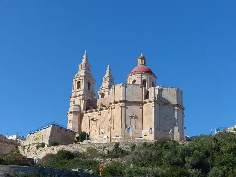
Saint Paul the Hermit
Church in Mosta, Malta. Dedicated to Saint Paul the Hermit.
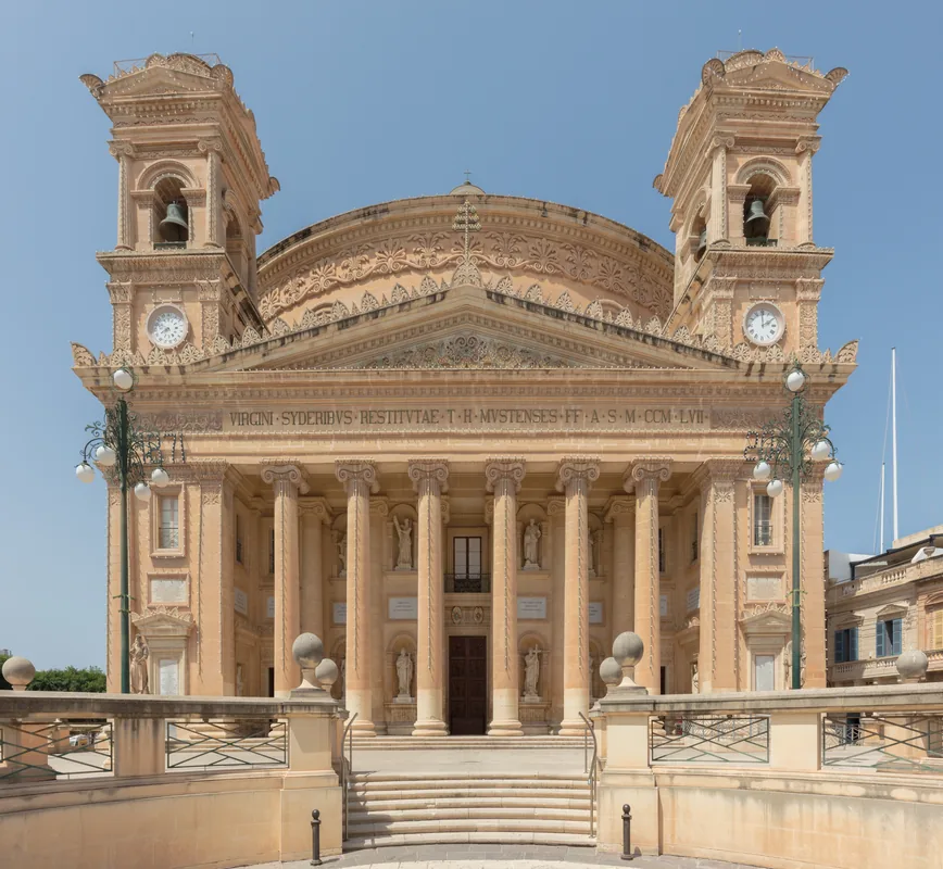
Assumption of Saint Mary
Church in Mosta, Malta. Dedicated to the Assumption of Mary.
Wied Filep Dolmen
Bronze Age burial site in Malta.
L-Inħawi Tal-Wej
Nature reserve in Malta. Protected natural landscape.
Sights nearby
Frequently asked questions
What are the Victoria Lines?
Can I hike along the walls?
Where does the best trail start?
Is there a fee to see the Victoria Lines?
Is it suitable for children?
Victoria Lines: where is it located?
Victoria Lines: what is there to see?
Victoria Lines: when is the best time to visit?
Victoria Lines: why is it worth visiting?

Nearby cities
History & landmarks

Nature

More places