Plizio Visual Lab
Saroja
ℹ️Practical info — Saroja
▾
🌤 Weather — 5 days
📍 Nearby
Sights nearby
💡 Tips
- As Saroja is a tiny mountain hamlet, make sure to bring sturdy shoes for hiking.
- Parking is very limited, so it's best to arrive on foot from Planken.
- The weather at the Sarojasattel pass can change quickly, so pack warm clothing.
- Bring enough drinking water with you, as there are very few places to buy supplies along the way.
🍽 Food
Try cheese from the surrounding alpine pastures, available from local farmers.
Stop for a meal at a traditional inn in the nearby village of Planken.
Bring your own snacks and enjoy them with a view at the Sarojasattel.
🛍 Shopping · 🧘 Quiet spots
Buy your supplies in the valley (e.g., in Schaan) before heading up the mountain.
Keep an eye out for small self-service farm stands offering fresh regional products.
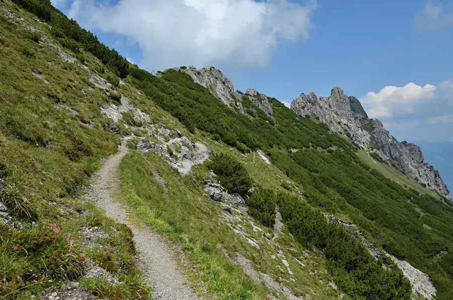
On clear days, the pass itself has wonderful tranquility and great views of the Three Sisters peaks.
Find a quiet spot away from the main hiking trails on the mountain meadows.
Water temperature…
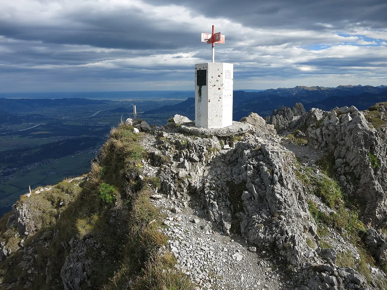
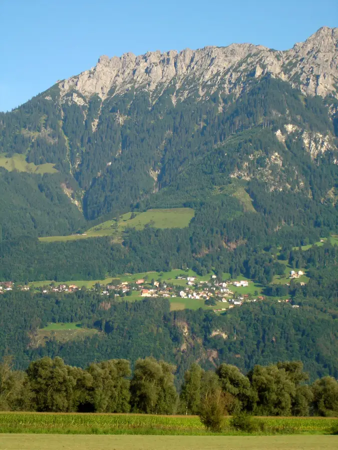
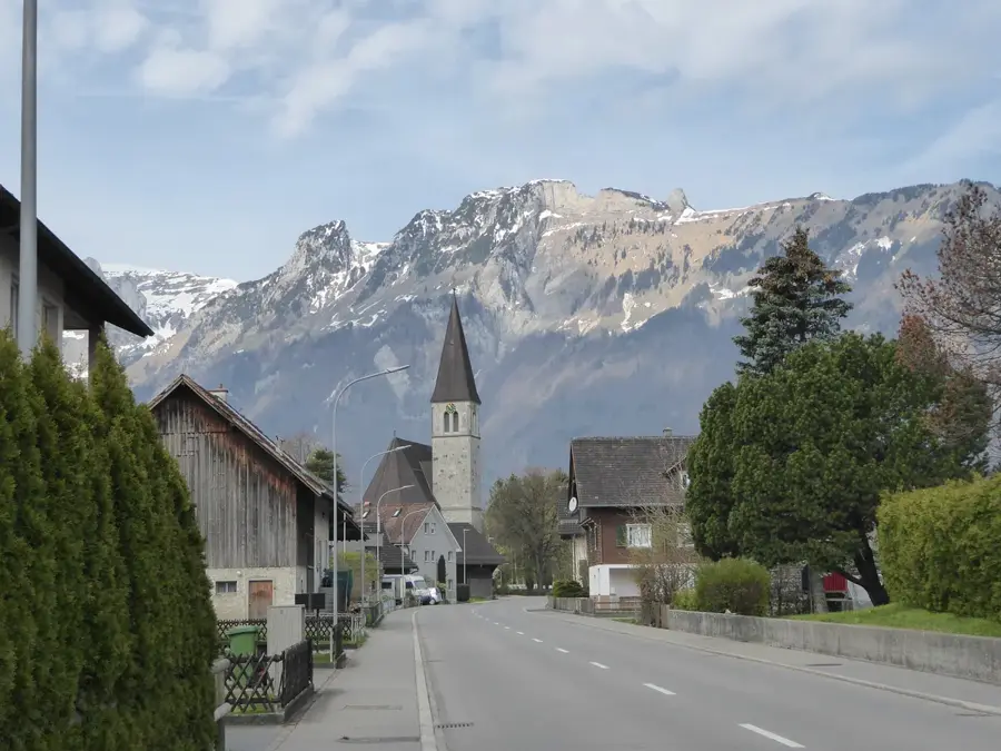
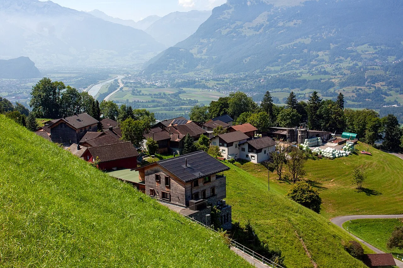
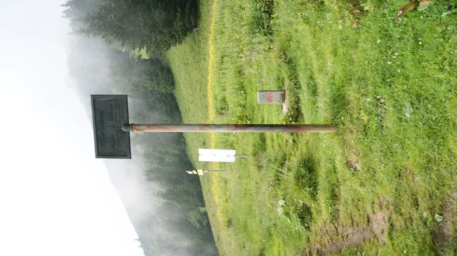
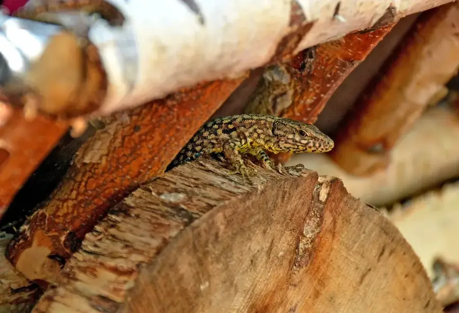
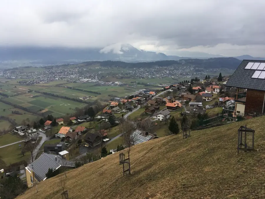
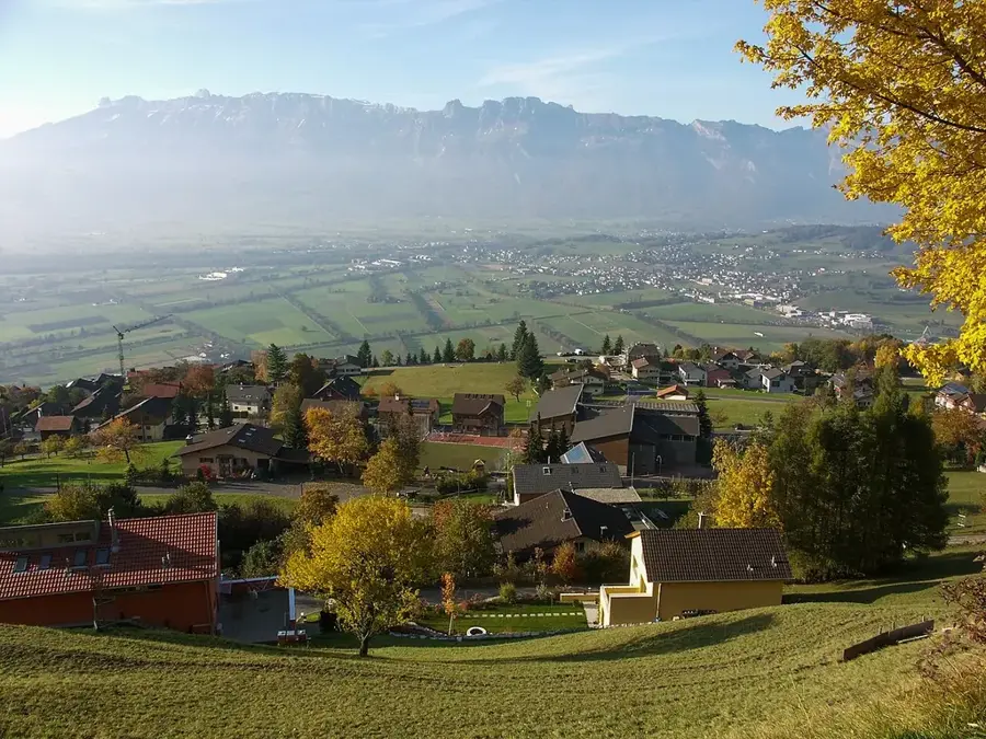
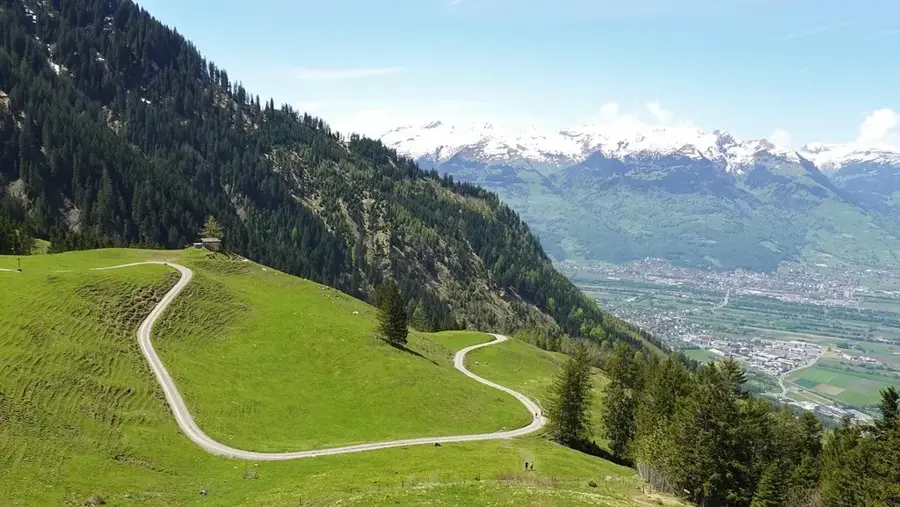
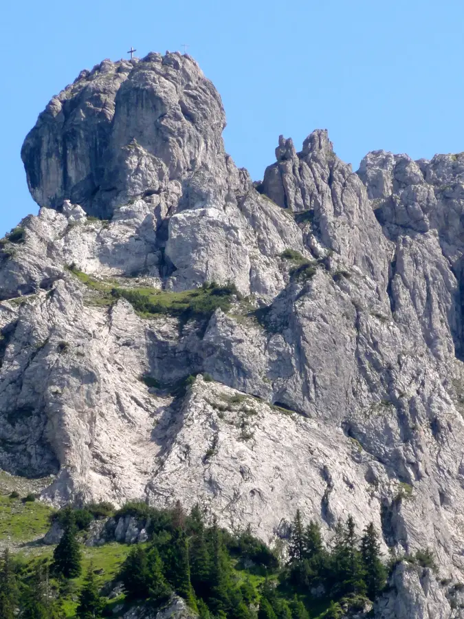
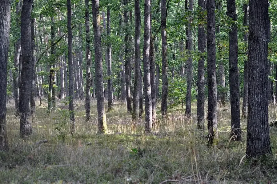
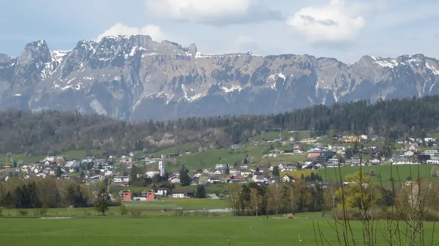
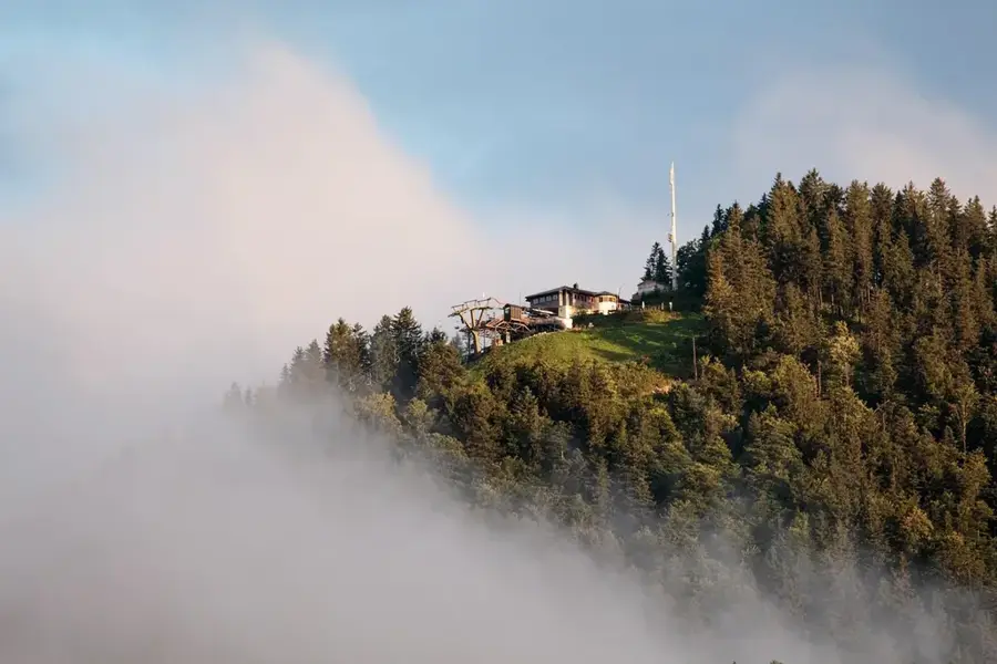
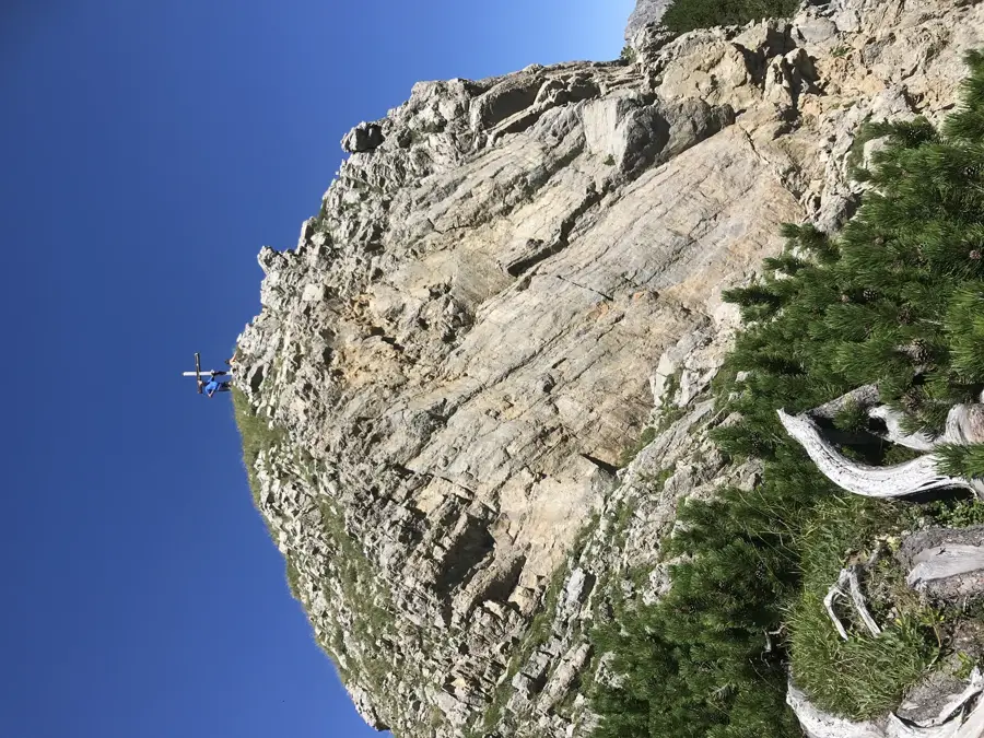
Saroja is a high-altitude alpine pasture and mountain massif in the border area between the Liechtenstein municipality of Planken and the Austrian municipality of Frastanz. The area is known for the Sarojajoch, a historic pass at 1628 meters elevation that served for centuries as a connecting route for livestock drives and hikers. The landscape is characterized by alpine meadows, rugged limestone cliffs, and the prominent Garsellikopf peak. Historically, Saroja was the scene of minor border disputes, which were eventually settled by treaties in the 19th century. Today, the Saroja Alp is an important part of Planken's alpine economy and is used for cattle grazing during the summer. The region has hikers challenging paths that often provide spectacular views down into the Rhine Valley and expansive vistas into the Walgau region. Ecologically, the area is of great significance due to its diverse alpine flora, including gentians and alpine roses.
- Location: Planken, Liechtenstein
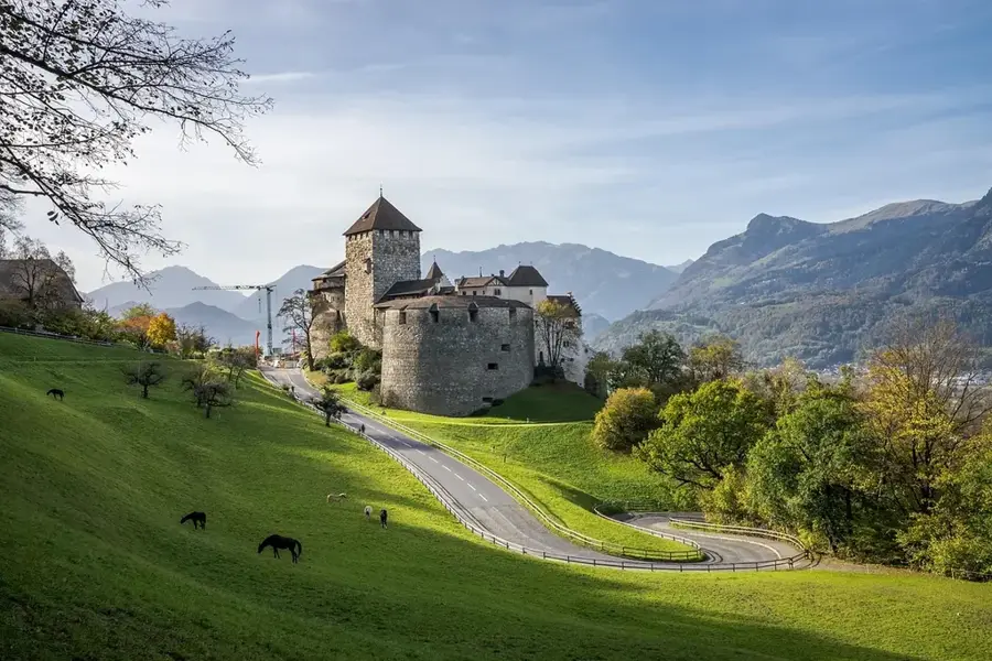
- Top sights: Naturschutzgebiet Schwabbrunnen/Ascher · Sankt Josef
- Nearby: Rossfeld (4 km)
- Population: ~478
Best time to visit & climate
The most pleasant time to visit is Jul–Sep.
| Jan | Feb | Mar | Apr | May | Jun | Jul | Aug | Sep | Oct | Nov | Dec | |
|---|---|---|---|---|---|---|---|---|---|---|---|---|
| Avg °C | -6 | -5 | -1 | 4 | 8 | 13 | 14 | 14 | 10 | 6 | 0 | -4 |
| Rain mm | 92 | 70 | 91 | 93 | 147 | 173 | 169 | 185 | 121 | 103 | 91 | 93 |
Geography
Facts
- The Sarojajoch pass is located at an altitude of 1628 m.
- Marks the national border between Liechtenstein and Austria.
- Part of the mountain ridge between the Rhine Valley and the Walgau.
- An important summer grazing alp for the municipality of Planken.
- Geologically characterized by limestone formations of the Eastern Alps.
- Starting point for ascents of the Garsellikopf and the Drei Schwestern.
Explore nearby
Notable places around
Route planner — Car & Motorhome
Where do you start? We build the route here, with stops and country notes along the way.
© OpenStreetMap contributors · OpenRouteService
Sights in the town Saroja (2)
Frequently asked questions
Where is Saroja located?
What is Saroja-Alp?
How do you get to the Saroja Pass?
What view does Saroja offer?
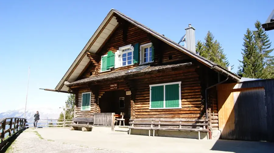
Is there a mountain hut there?
Saroja: where is it located?
Saroja: what is there to see?
Saroja: when is the best time to visit?
Saroja: why is it worth visiting?

Nearby cities


History & landmarks
Nature
More places