Plizio Visual Lab
St. Thomas Mountains
Weather…
Water temperature…
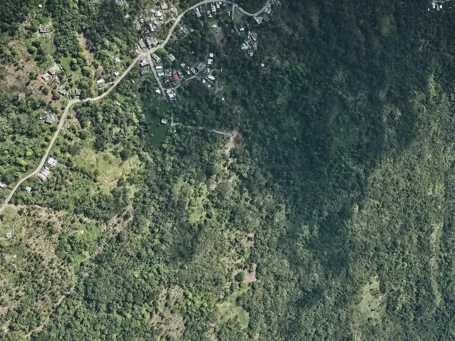
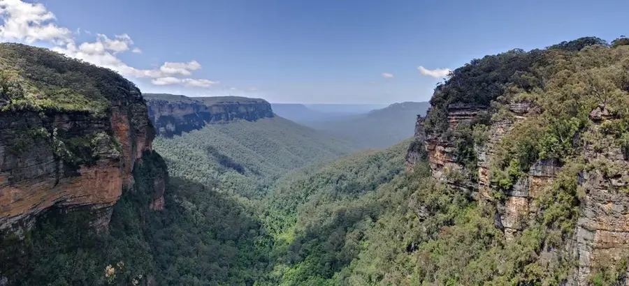
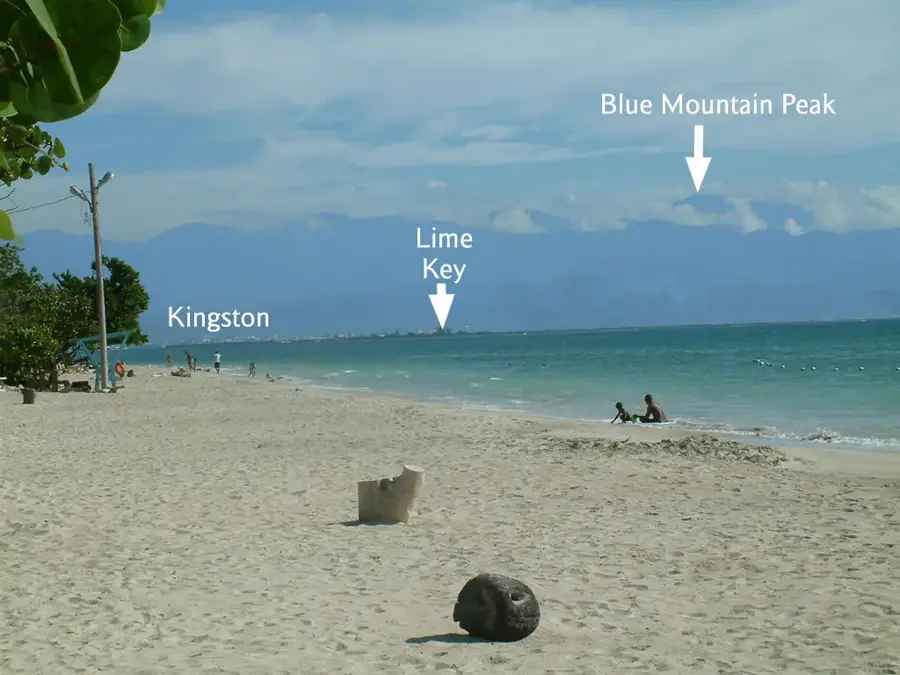
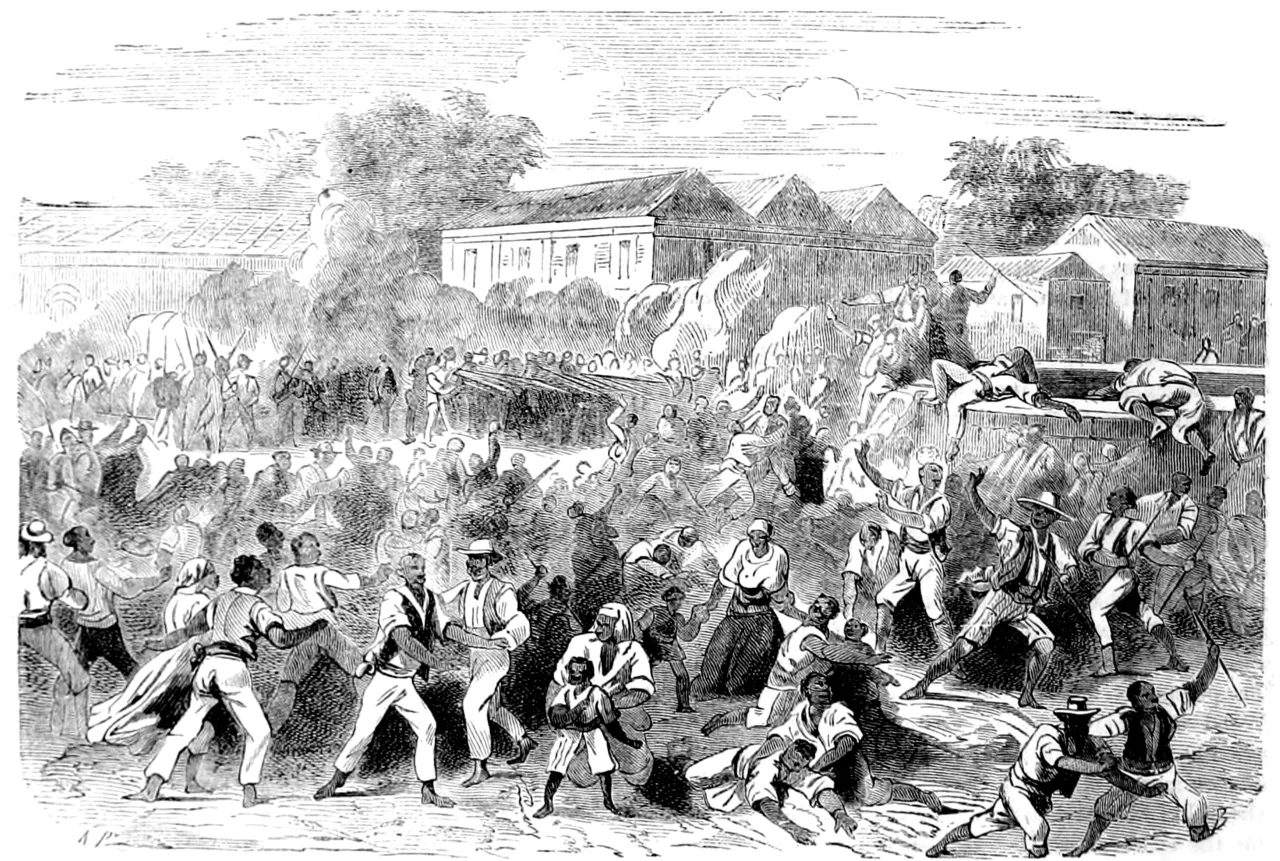
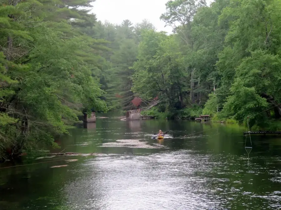
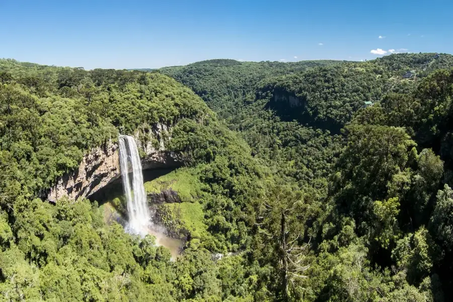
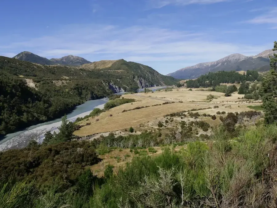
The St. Thomas Mountains form the southeastern extension of the Blue Mountains in Jamaica, defining the rugged landscape of St. Thomas Parish. This range is characterized by sharp ridges and deep, V-shaped valleys, covered in dense tropical rainforest and montane thickets. Geologically, the area is highly significant due to its proximity to the Enriquillo-Plantain Garden fault zone, which accounts for the local geothermal activity, including the famous therapeutic hot springs at Bath. The mountains consist of a mix of Cretaceous volcanic rocks and Eocene limestones, creating a complex terrain with numerous waterfalls and rapid-flowing rivers. Historically, these mountains served as a strategic stronghold for the Windward Maroons, who utilized the difficult terrain to maintain autonomy from colonial forces. Economically, the slopes support agriculture, specifically coffee, bananas, and cocoa, while the forests are vital for watershed protection. High annual rainfall makes the region prone to landslides, which has historically complicated road construction. Today, the St. Thomas Mountains are a focal point for conservation efforts and hikers seeking to explore Jamaica's diverse eastern biodiversity.
- Location: Jamaica
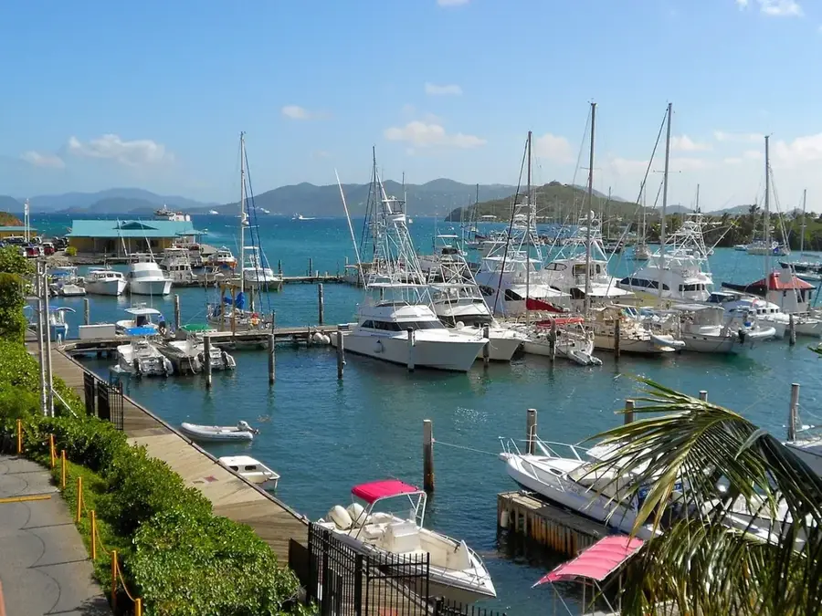
- Nearby: Port Antonio (8 km)
Best time to visit & climate
The most pleasant time to visit is Jan–Mar.
| Jan | Feb | Mar | Apr | May | Jun | Jul | Aug | Sep | Oct | Nov | Dec | |
|---|---|---|---|---|---|---|---|---|---|---|---|---|
| Avg °C | 26 | 26 | 26 | 27 | 27 | 28 | 28 | 28 | 28 | 28 | 27 | 27 |
| Rain mm | 35 | 18 | 27 | 40 | 117 | 101 | 75 | 111 | 131 | 180 | 94 | 51 |
📋 Practical info
Geography
Facts
- Southeastern spur of the Blue Mountains
- Located in the parish of St. Thomas
- Home to the historic Bath Fountain hot springs
- Situated near a major tectonic fault line
- Significant site for Maroon history and culture
- Area prone to high rainfall and soil erosion
Explore nearby
Notable places around
Route planner — Car & Motorhome
Where do you start? We build the route here, with stops and country notes along the way.
© OpenStreetMap contributors · OpenRouteService
Sights in the town St. Thomas Mountains (1)
Sights nearby
Frequently asked questions
Which mountains are in St. Thomas?
What is special about this region?
Are there thermal springs there?
How is the access for hikers?
What is grown in the valleys?
St. Thomas Mountains: where is it located?
St. Thomas Mountains: when is the best time to visit?

Nearby cities
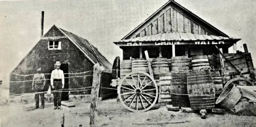
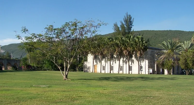
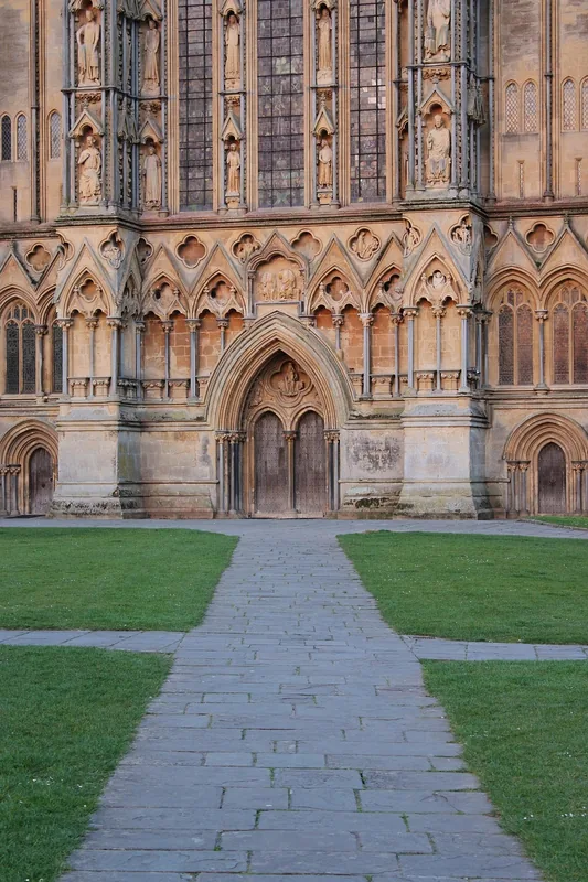
History & landmarks
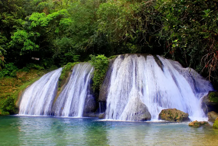
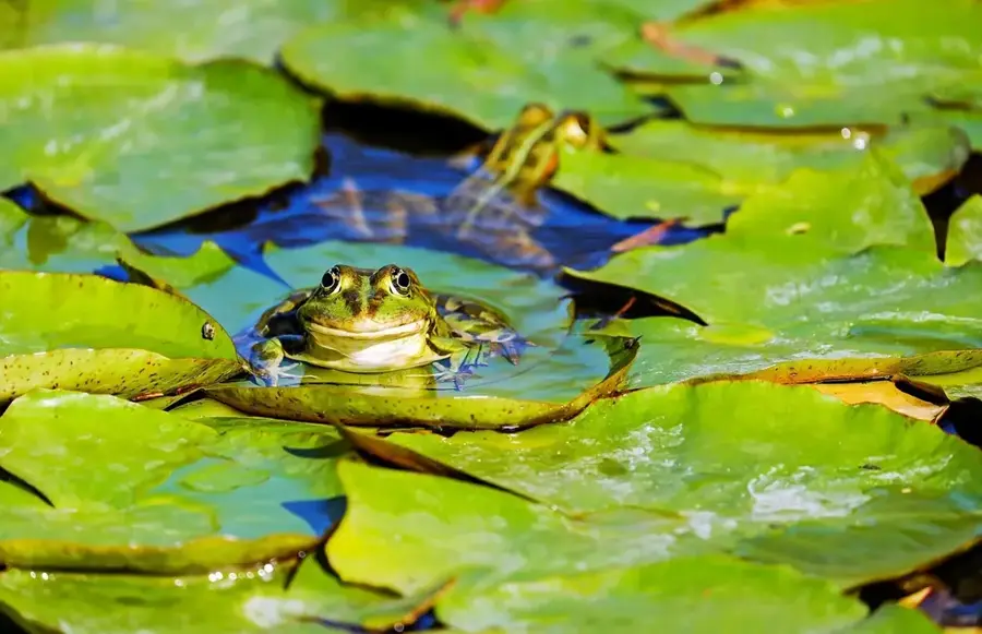
Nature
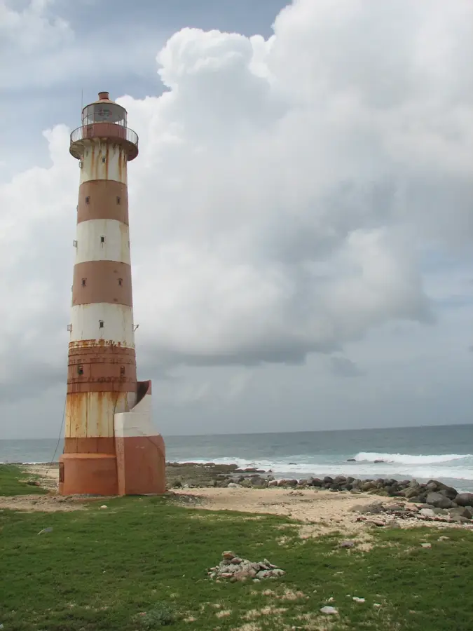
More places