Plizio Visual Lab
Yallahs Valley

Weather…
Water temperature…
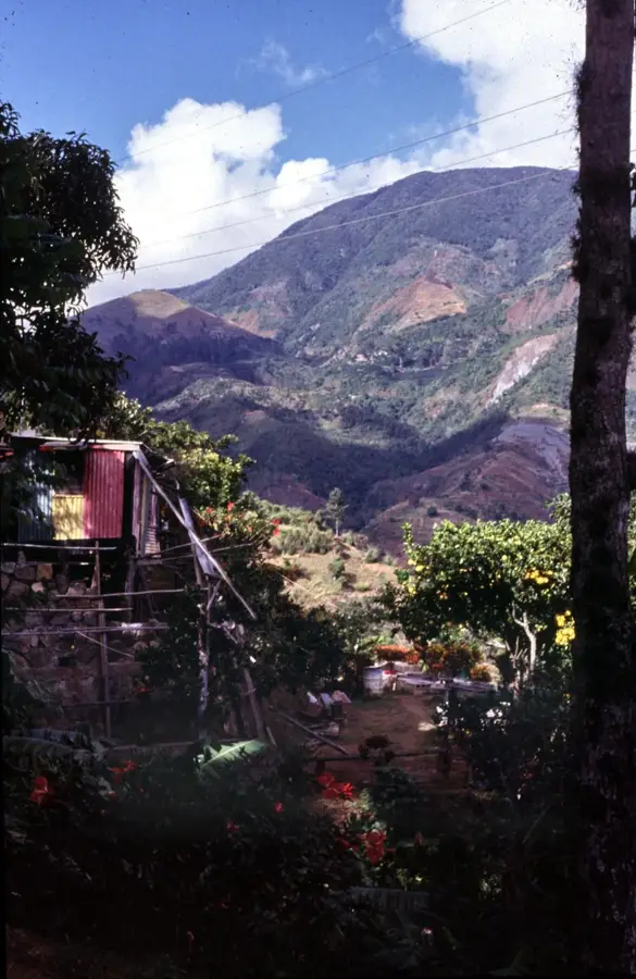
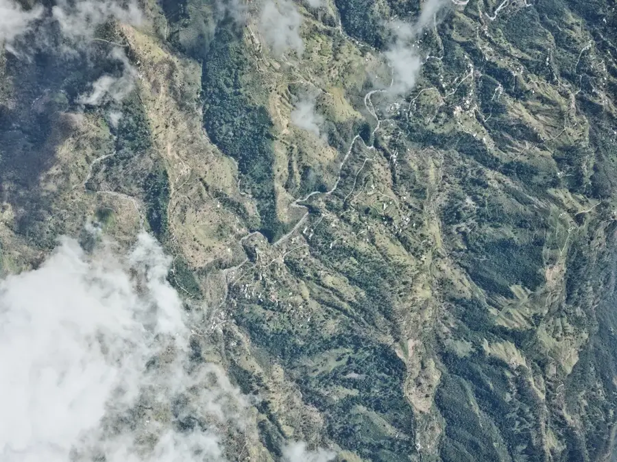
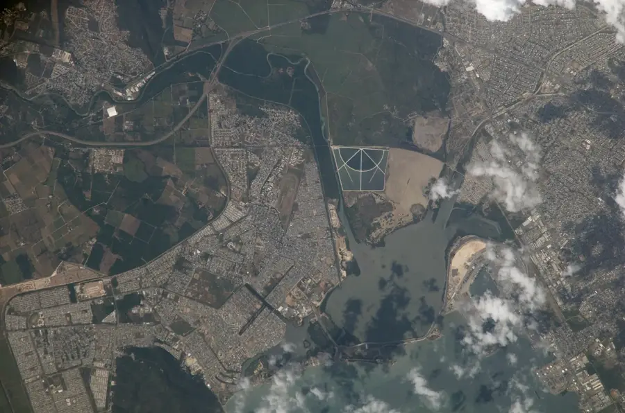
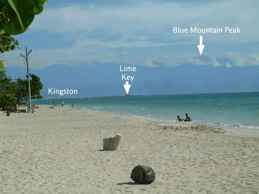
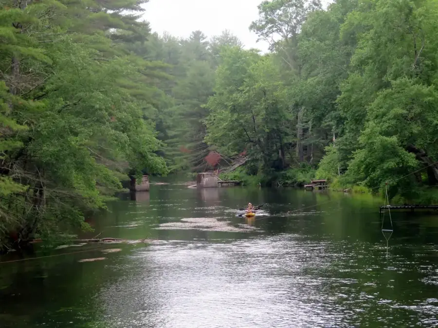
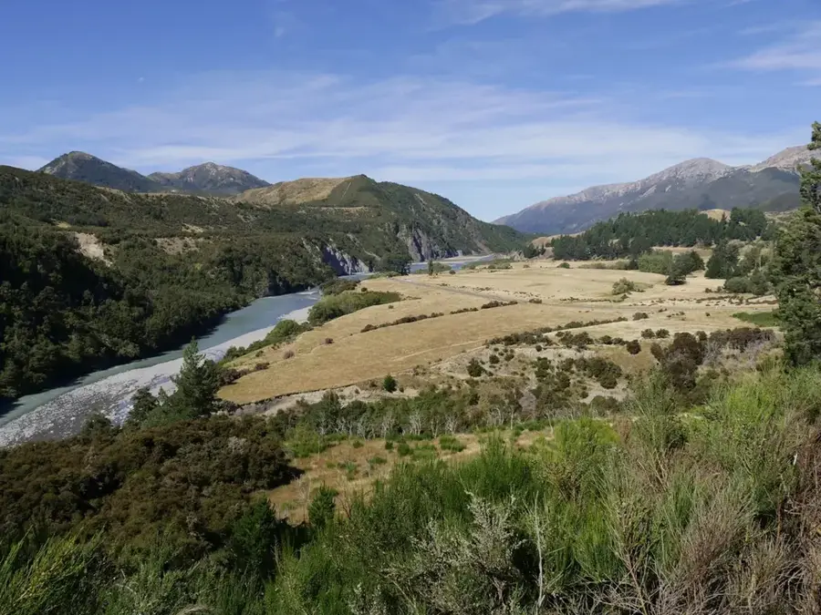
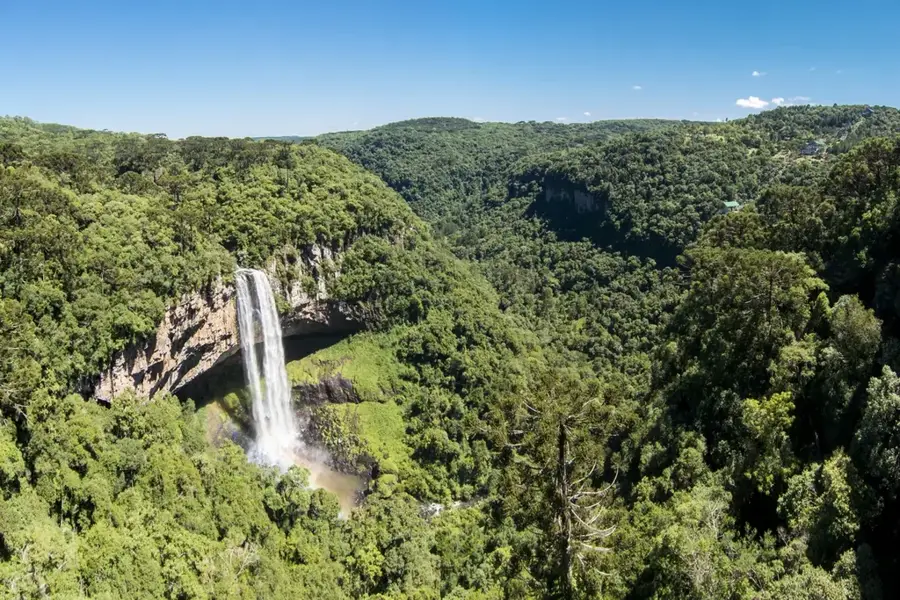
The Yallahs Valley is a deep, dramatic river valley located in the parish of St. Thomas, carved by the powerful Yallahs River as it flows from the Blue Mountains to the southern coast. This region is characterized by steep, jagged slopes and a geological composition of friable shale and limestone, making it one of the most erosion-prone areas in Jamaica. The valley's relief is marked by sharp elevation changes, creating a series of terraces and alluvial fans near the riverbed. Historically, the valley has been a center for agriculture, despite the constant threat of flooding and landslides. The Yallahs River is a critical water source for the city of Kingston, diverted through a series of pipelines to the Mona Reservoir. The upper valley is known for its cool climate and the cultivation of onions and other vegetables, while the lower valley is home to the unique Yallahs Salt Ponds. The rugged beauty of the valley attracts hikers and nature lovers seeking to explore the untamed eastern interior.
- Location: Jamaica
- Top sights: Albion plantation · Yallahs
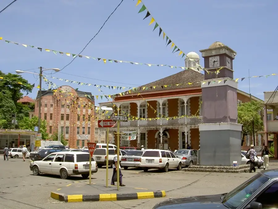
- Nearby: Port Antonio (18 km)
Best time to visit & climate
The most pleasant time to visit is Jan–Mar.
| Jan | Feb | Mar | Apr | May | Jun | Jul | Aug | Sep | Oct | Nov | Dec | |
|---|---|---|---|---|---|---|---|---|---|---|---|---|
| Avg °C | 26 | 26 | 26 | 27 | 27 | 28 | 28 | 28 | 28 | 28 | 27 | 27 |
| Rain mm | 35 | 18 | 27 | 40 | 117 | 101 | 75 | 111 | 131 | 180 | 94 | 51 |
📋 Practical info
Geography
Facts
- Carved by the Yallahs River, one of Jamaica's most volatile rivers.
- Known for its steep slopes and fragile shale geology.
- Primary water source for the Mona Reservoir in Kingston.
- The upper valley is a major hub for onion and vegetable farming.
- Subject to frequent landslides and floods during hurricane season.
- Features the largest alluvial fan in the Caribbean region.
- Elevation drops from over 1,500 meters to sea level within the valley.
- Home to the unique Yallahs Salt Ponds near the river mouth.
Explore nearby
Notable places around
Route planner — Car & Motorhome
Where do you start? We build the route here, with stops and country notes along the way.
© OpenStreetMap contributors · OpenRouteService
Sights in the town Yallahs Valley (2)
Sights nearby
Frequently asked questions
What is Yallahs Valley known for?
Is the valley safe for hiking?
How do you reach Yallahs Valley?
What plants grow here?
Are there accommodations in the valley?
Yallahs Valley: where is it located?
Yallahs Valley: what is there to see?
Yallahs Valley: when is the best time to visit?
Yallahs Valley: why is it worth visiting?

Nearby cities
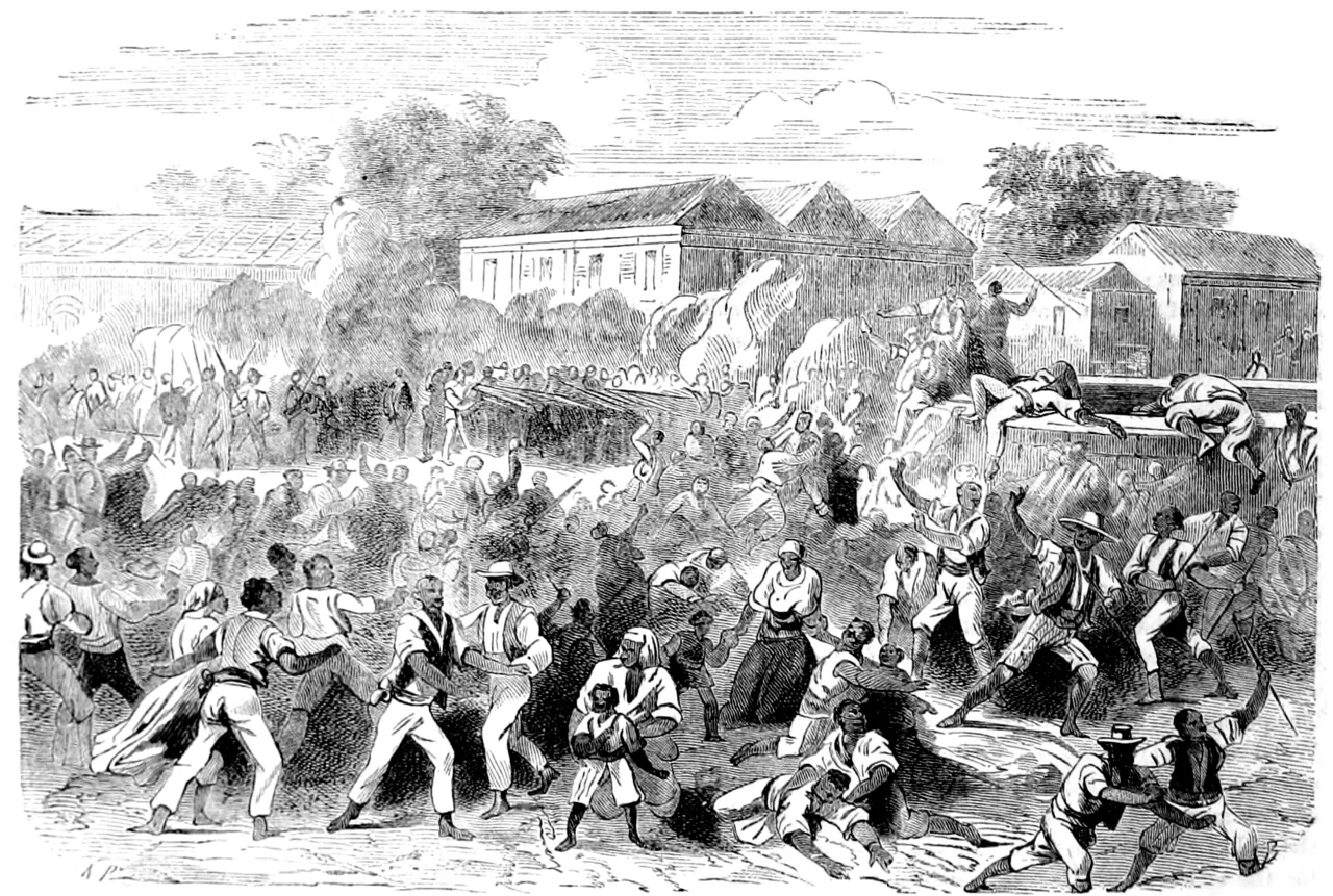
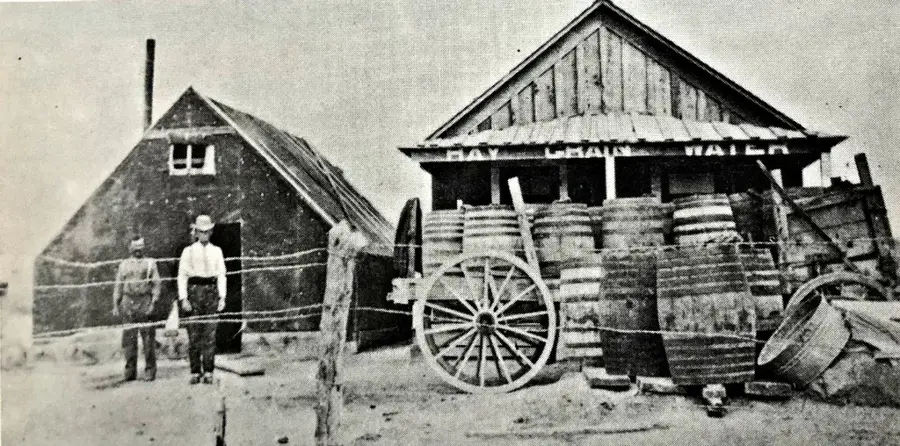
History & landmarks
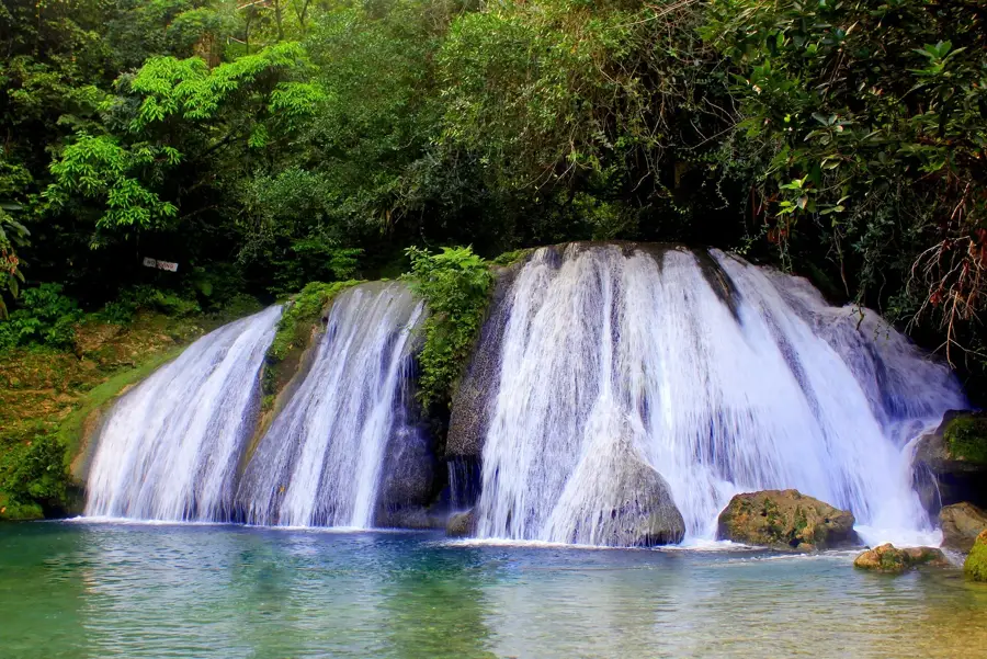
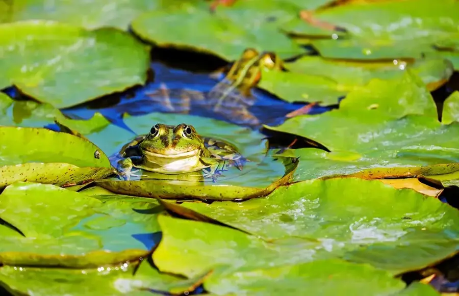
Nature
More places