Plizio Visual Lab
St. Catherine Hills
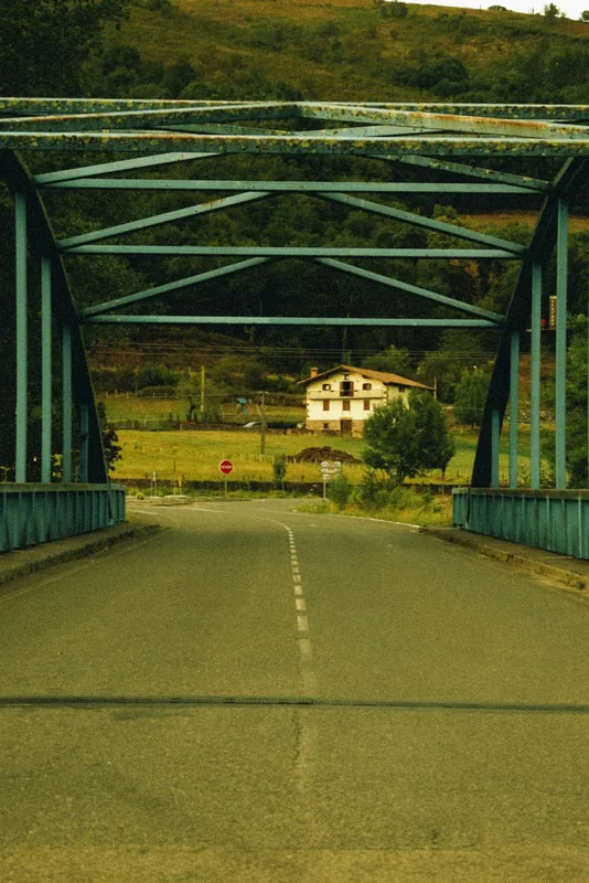
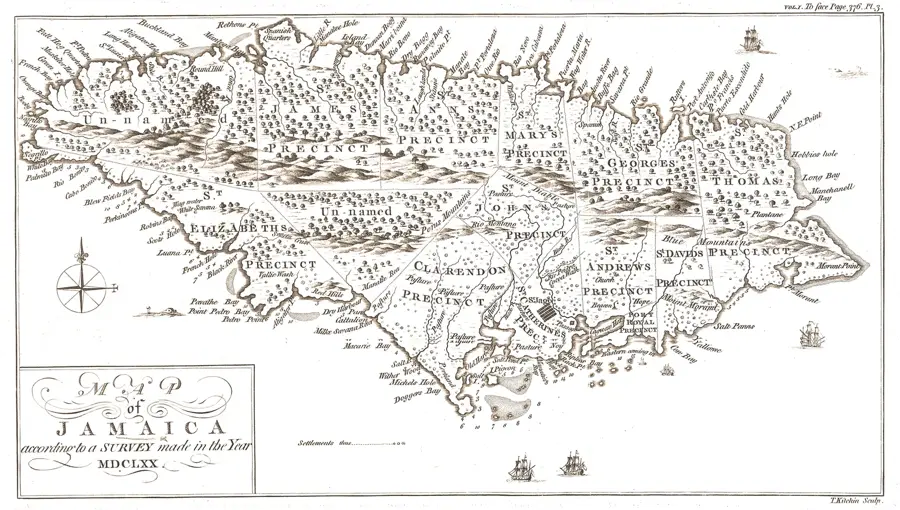
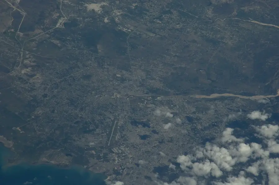
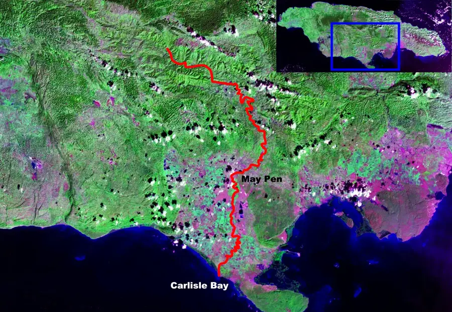
The St. Catherine Hills refer to the limestone uplands that border the Liguanea Plain and the Rio Cobre valley in central Jamaica. These hills, which include the Red Hills and the Hellshire Hills, are characterized by a rugged karst topography with sparse surface water. The elevation provides a natural vantage point overlooking the capital city of Kingston and the plains of Spanish Town. Geologically, these hills are composed of white limestone that has been eroded into a complex system of caves and sinkholes. The vegetation is primarily dry limestone forest, adapted to the low rainfall and porous soil. Historically, these hills served as a defensive barrier for the Spanish capital of St. Jago de la Vega and later became a residential refuge for those seeking cooler temperatures and better air quality. Today, they are a mix of upscale residential areas and protected conservation zones that host several endemic reptile and plant species found nowhere else on the island.
- Location: Jamaica
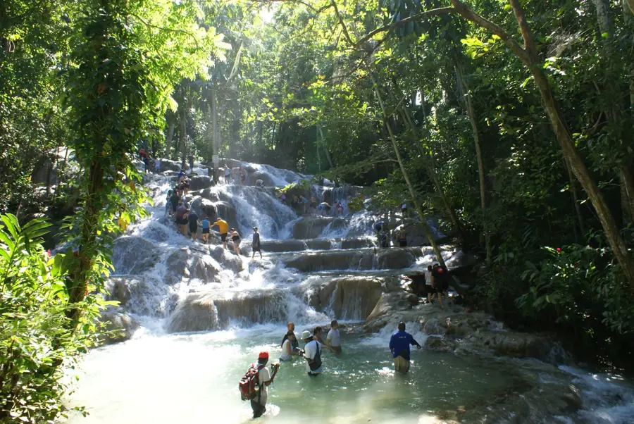
- Top sights: Rio Pedro · Rio Doro · Bog Walk
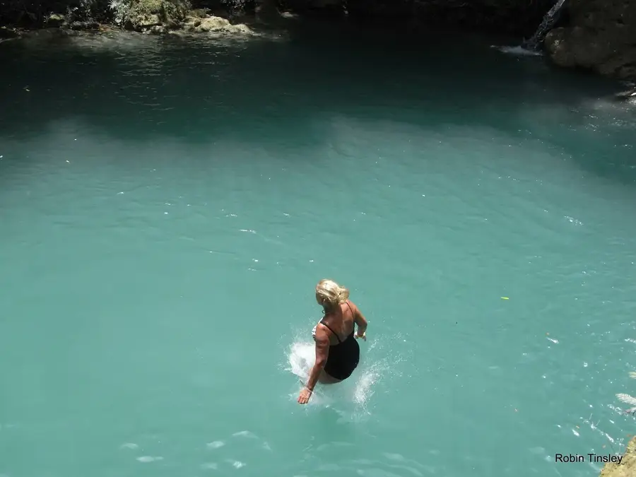
- Nearby: Hellshire Beach (13 km)
Best time to visit & climate
The most pleasant time to visit is Jan–Mar.
| Jan | Feb | Mar | Apr | May | Jun | Jul | Aug | Sep | Oct | Nov | Dec | |
|---|---|---|---|---|---|---|---|---|---|---|---|---|
| Avg °C | 26 | 26 | 26 | 27 | 27 | 28 | 28 | 28 | 28 | 28 | 27 | 26 |
| Rain mm | 33 | 19 | 29 | 41 | 111 | 89 | 69 | 104 | 127 | 170 | 87 | 49 |
📋 Practical info
Geography
Facts
- Limestone uplands overlooking Kingston and Spanish Town.
- Includes the Red Hills and the arid Hellshire Hills.
- Defined by dry limestone forest and karst topography.
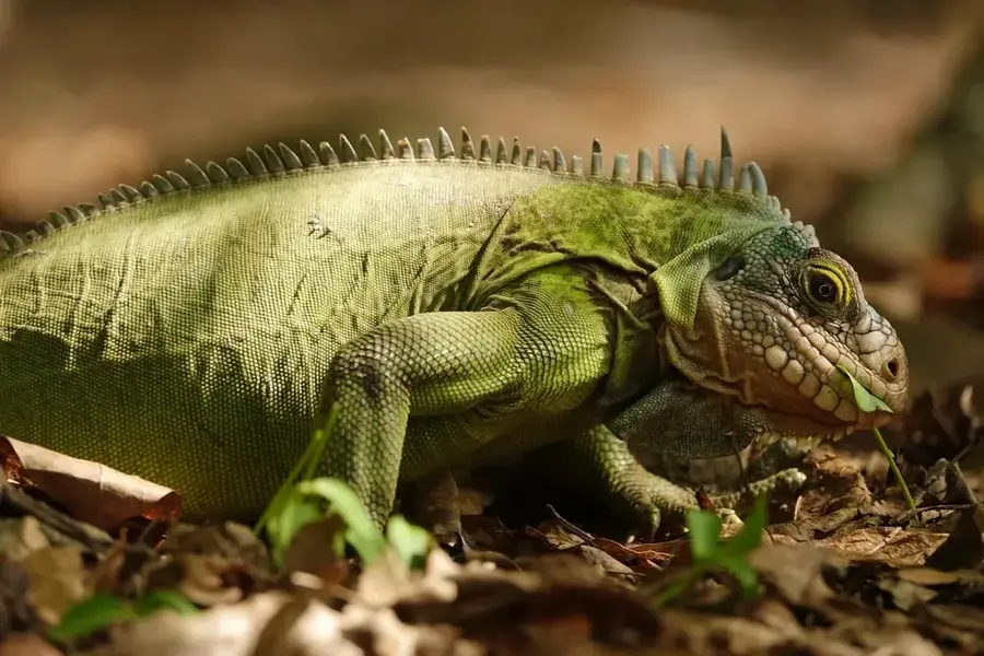
- Home to the endemic and endangered Jamaican Iguana.
- Highest points reach approximately 400 to 500 meters.
- Vital protective barrier for the southern coastal plains.
- The porous limestone filters water into the Rio Cobre aquifer.
- Historically significant for the defense of the old capital.
Explore nearby
Notable places around
Route planner — Car & Motorhome
Where do you start? We build the route here, with stops and country notes along the way.
© OpenStreetMap contributors · OpenRouteService
Sights in the town St. Catherine Hills (3)
Sights nearby
Frequently asked questions
What are the St. Catherine Hills known for?
Can you hike in the hills?
Are there caves there?
What is grown there?
How is the climate in the hills?
St. Catherine Hills: where is it located?
St. Catherine Hills: what is there to see?
St. Catherine Hills: when is the best time to visit?

Nearby cities
History & landmarks
Nature
More places