Plizio Visual Lab
Rio Cobre River
Weather…
Water temperature…
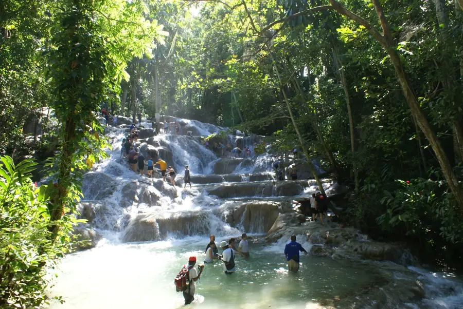
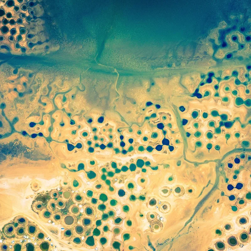
The Rio Cobre is one of Jamaica's most historically and geographically significant rivers, winding through the parish of St. Catherine. It is most famous for carving the spectacular Bog Walk Gorge, a deep limestone canyon with sheer walls rising up to 100 meters high. The river’s name, meaning 'Copper River' in Spanish, reflects its importance since colonial times. In 1899, the Rio Cobre was the site of one of the first hydroelectric plants in the Caribbean, and it continues to provide a major source of irrigation for the fertile St. Catherine plains and drinking water for Kingston. The river valley is a lush area of bamboo groves and fruit trees, though the gorge itself is known for its dramatic and sometimes dangerous flooding during heavy rains. Crossing the river at Spanish Town is the historic Cast Iron Bridge, the oldest of its kind in the Western Hemisphere, symbolizing the river's long-standing role in Jamaica's infrastructure.
- Location: Jamaica
- Top sights: Tulloch Airfield · Rio Pedro · Rio Doro
- Nearby: Hellshire Beach (11 km)
Best time to visit & climate
The most pleasant time to visit is Jan–Mar.
| Jan | Feb | Mar | Apr | May | Jun | Jul | Aug | Sep | Oct | Nov | Dec | |
|---|---|---|---|---|---|---|---|---|---|---|---|---|
| Avg °C | 26 | 26 | 26 | 27 | 27 | 28 | 28 | 28 | 28 | 28 | 27 | 26 |
| Rain mm | 33 | 19 | 29 | 41 | 111 | 89 | 69 | 104 | 127 | 170 | 87 | 49 |
📋 Practical info
Geography
Facts
- Carved the 6-kilometer long Bog Walk Gorge, a major geological landmark.
- The name 'Rio Cobre' is Spanish for 'Copper River.'
- Feeds one of Jamaica's oldest and most extensive irrigation systems.
- Home to the historic 1801 Cast Iron Bridge in Spanish Town.
- Site of an early hydroelectric power station established in the late 19th century.
- Crucial water source for the metropolitan areas of Kingston and St. Catherine.
- Known for sudden and dramatic water level increases during the hurricane season.
- The river basin supports local fisheries of tilapia and freshwater shrimp.
Explore nearby
Notable places around
Route planner — Car & Motorhome
Where do you start? We build the route here, with stops and country notes along the way.
© OpenStreetMap contributors · OpenRouteService
Sights in the town Rio Cobre River (3)
Sights nearby
Frequently asked questions
What is the Flat Bridge on the Rio Cobre?
Can you go rafting on the Rio Cobre?
Are there rest areas along the road through the gorge?
How deep is the river?
Is fishing allowed?
Rio Cobre River: where is it located?
Rio Cobre River: what is there to see?
Rio Cobre River: when is the best time to visit?
Rio Cobre River: why is it worth visiting?

Nearby cities
History & landmarks
Nature
More places