Plizio Visual Lab
Blue Mountain Peak North
Weather…
Water temperature…
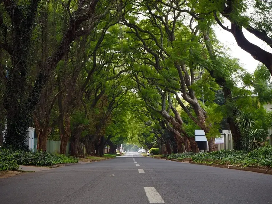
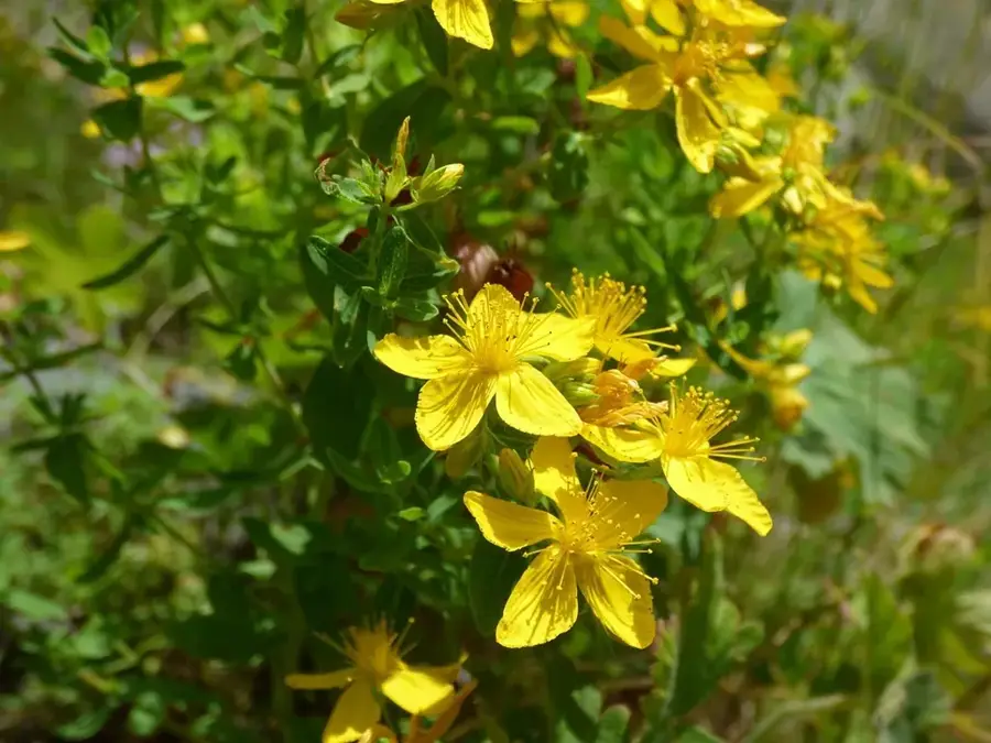
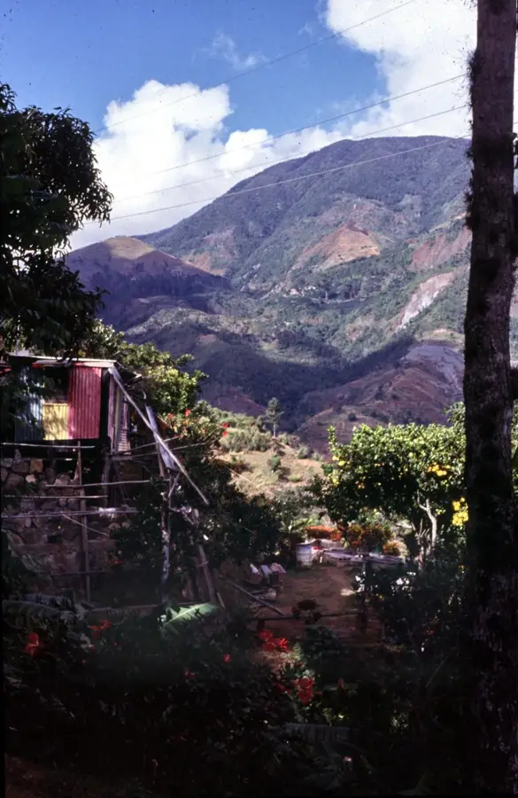
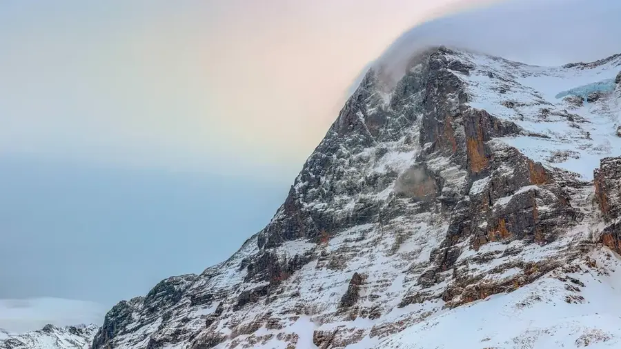
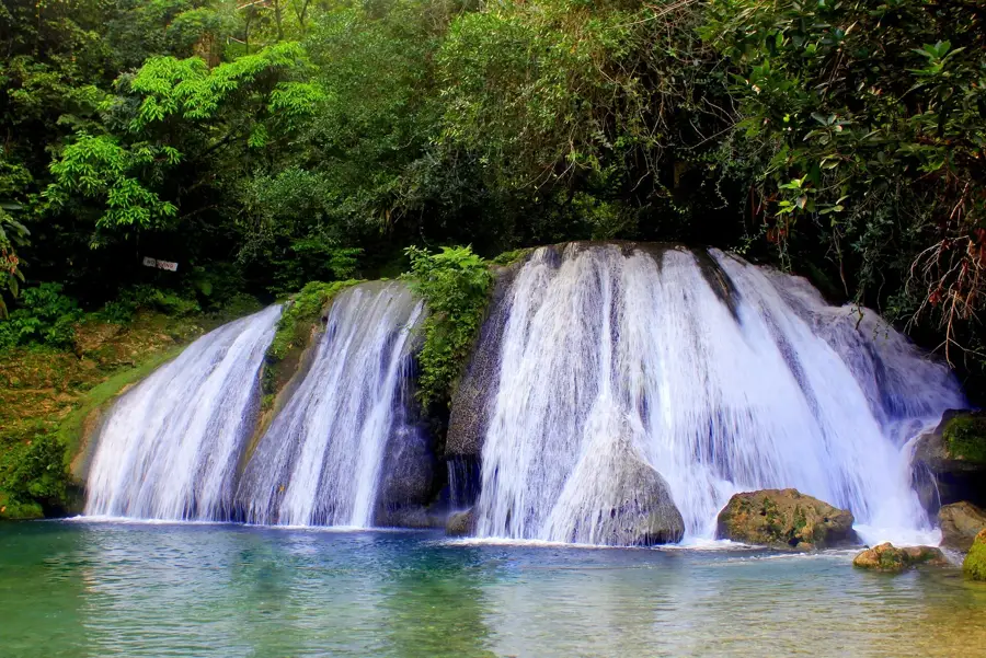
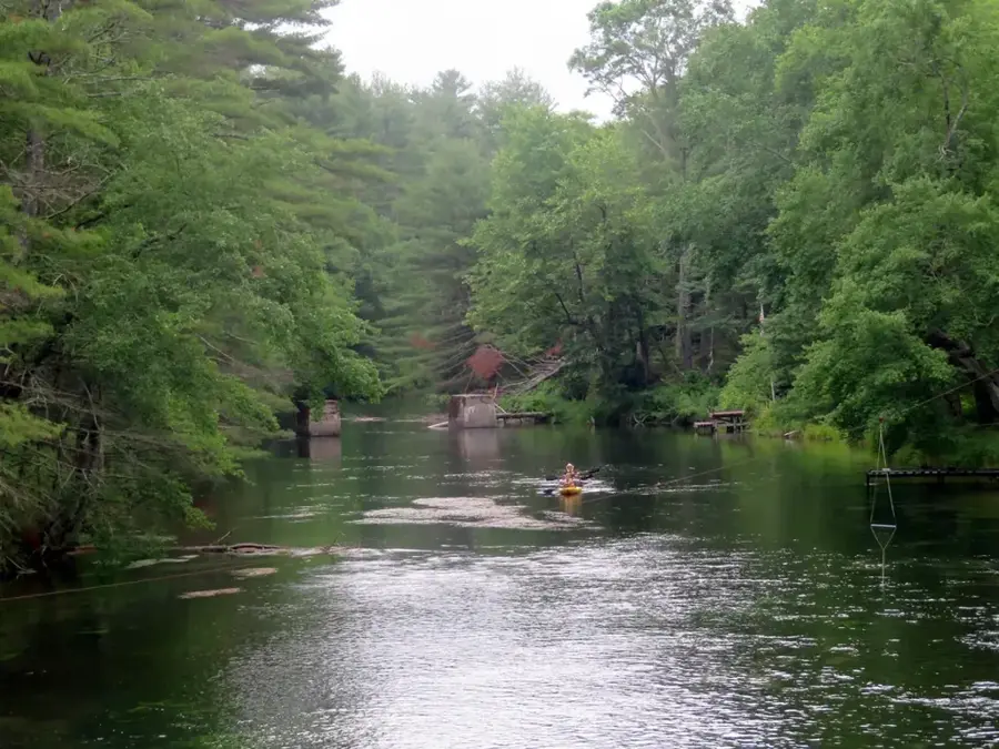
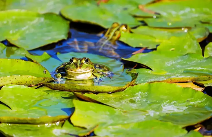
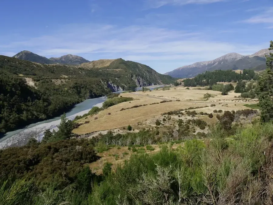
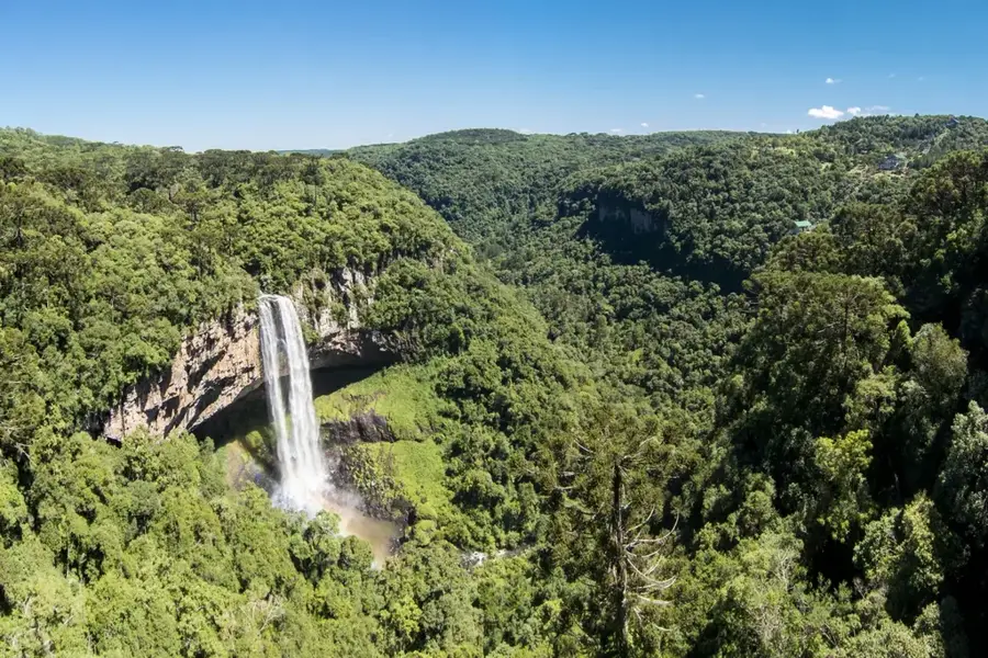
Blue Mountain Peak North refers to the northern slopes and secondary ridges of Jamaica's highest peak, descending into the lush parish of Portland. This side of the peak is significantly wetter and more densely forested than the southern approach, receiving the full force of the northeast trade winds. The relief is characterized by incredibly steep ravines and waterfalls, where the rainfall frequently exceeds 6,000 millimeters per year. This constant moisture supports a spectacular cloud forest where every branch is covered in mosses, ferns, and bromeliads. Historically, this northern face was nearly inaccessible and served as a natural barrier that protected the interior from colonial expansion. Today, it remains one of the most pristine wilderness areas in Jamaica, providing a critical sanctuary for the endangered Giant Swallowtail Butterfly and the Jamaican Blackbird. The trails on this side are notoriously difficult, catering to experienced hikers and researchers dedicated to studying one of the most biodiverse high-altitude regions in the world.
- Location: Jamaica
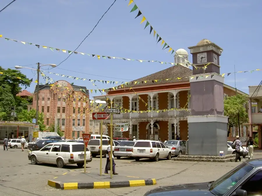
- Nearby: Port Antonio (14 km)
Best time to visit & climate
The most pleasant time to visit is Jan–Mar.
| Jan | Feb | Mar | Apr | May | Jun | Jul | Aug | Sep | Oct | Nov | Dec | |
|---|---|---|---|---|---|---|---|---|---|---|---|---|
| Avg °C | 26 | 26 | 26 | 27 | 27 | 28 | 28 | 28 | 28 | 28 | 27 | 27 |
| Rain mm | 35 | 18 | 27 | 40 | 117 | 101 | 75 | 111 | 131 | 180 | 94 | 51 |
📋 Practical info
Geography
Facts
- Northern face of Jamaica's highest peak, located in Portland.
- Receives some of the highest rainfall in the Caribbean (6,000mm+).
- Home to untouched primary cloud forest and giant tree ferns.
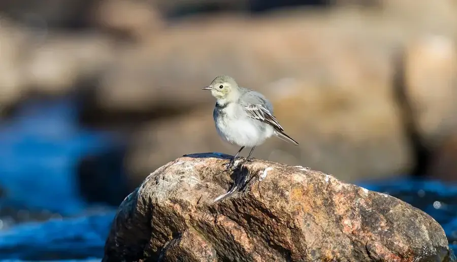
- Stronghold for the endangered Jamaican Blackbird and Giant Swallowtail.
- Features extremely steep and unstable shale topography.
- Part of the UNESCO Blue and John Crow Mountains National Park.
- Accessible only through arduous and often unmapped forest trails.
- Vital watershed for the Rio Grande and Buff Bay rivers.
Explore nearby
Notable places around
Route planner — Car & Motorhome
Where do you start? We build the route here, with stops and country notes along the way.
© OpenStreetMap contributors · OpenRouteService
Sights nearby
Frequently asked questions
How high is Blue Mountain Peak?
When do you start the hike to the peak?
Do you need a guide?
How is the climate at the summit?
What should you pack?
Blue Mountain Peak North: where is it located?
Blue Mountain Peak North: when is the best time to visit?
Blue Mountain Peak North: why is it worth visiting?

Nearby cities
History & landmarks
Nature
More places