Plizio Visual Lab
Sylt
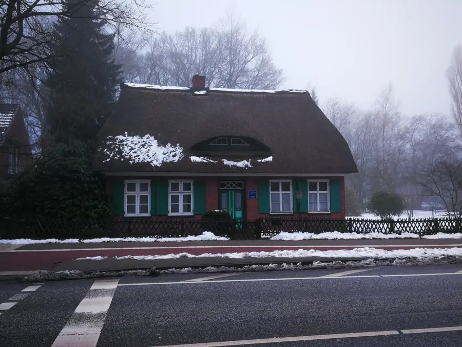
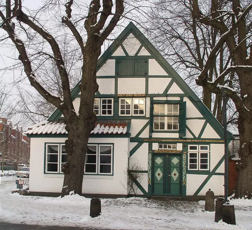
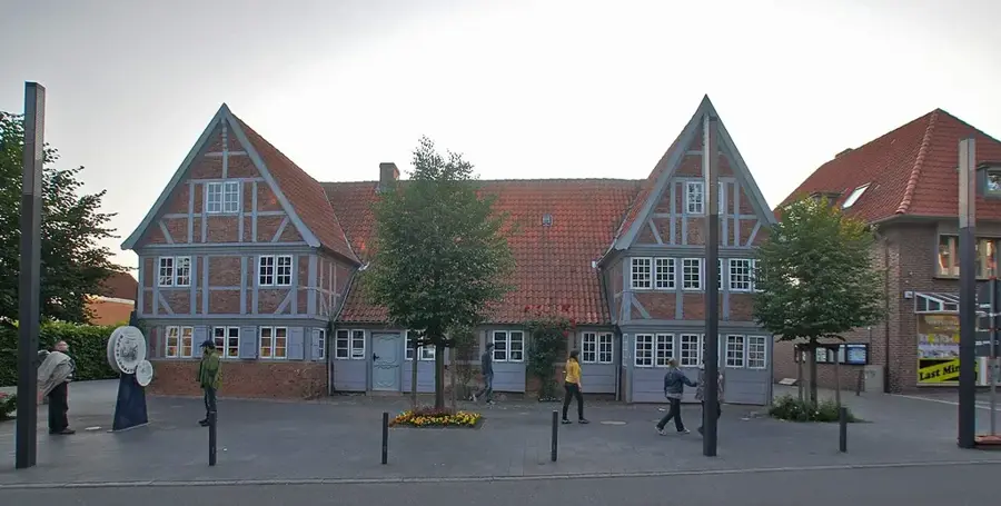
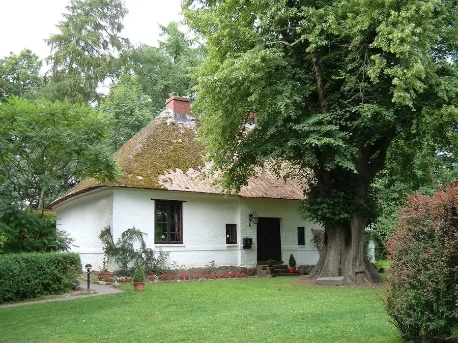
Sylt is the largest of the North Frisian Islands, renowned for its distinctive elongated shape and its exposed position in the North Sea off the coast of Schleswig-Holstein. Since 1927, the island has been connected to the mainland by the eleven-kilometer Hindenburgdamm causeway, which facilitates rail transport to its main town, Westerland. Geographically, Sylt is in a state of constant flux due to coastal erosion, necessitating extensive annual sand nourishment projects to preserve its western shores. The island features a diverse natural landscape, ranging from the shifting sand dunes near List and the dramatic Red Cliff at Kampen to the Wadden Sea in the east, which is a UNESCO World Heritage site. Historically, Sylt was a hub for whaling and maritime trade, a legacy visible today in the thatched-roof captain's houses in Keitum. In modern times, the island has evolved into an exclusive holiday destination famous for high-end gastronomy and a spirited spa culture. Despite heavy tourism, the preservation of its fragile dune ecosystems and marshlands remains a core conservation priority.
- Location: Schleswig-Holstein, Germany
- Top sights: Tinnumburg · Harhoog · Tipkenhoog
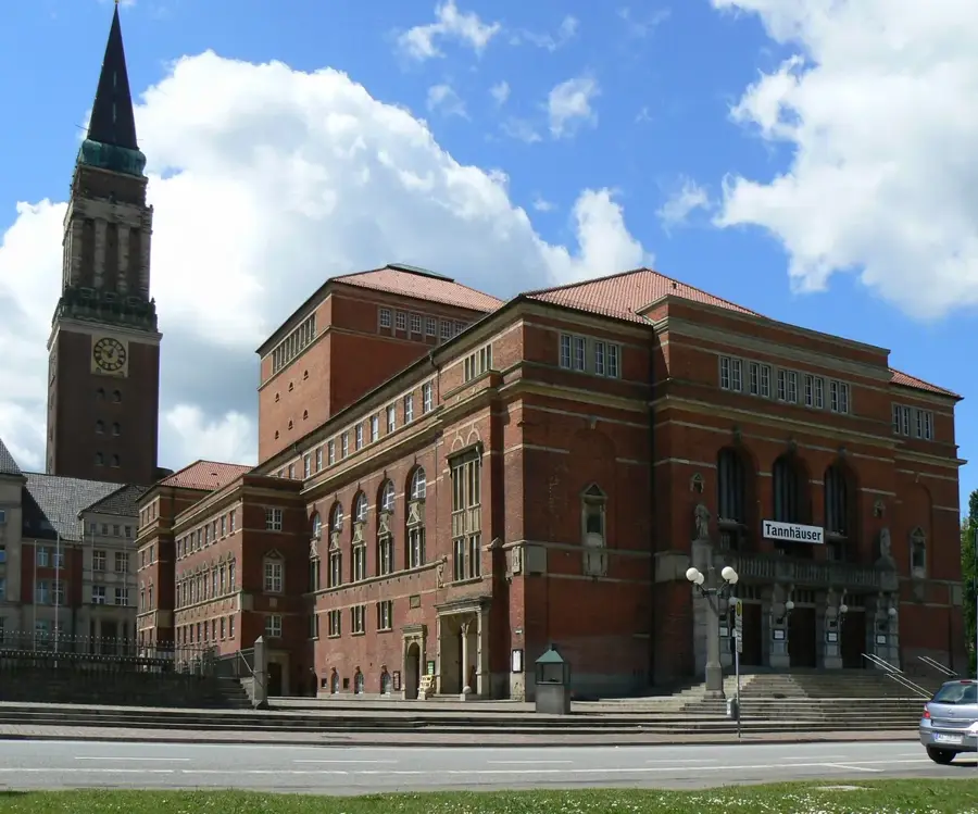
- Nearby: Kampen (Sylt) (6 km)
Best time to visit & climate
The most pleasant time to visit is Jun–Aug.
| Jan | Feb | Mar | Apr | May | Jun | Jul | Aug | Sep | Oct | Nov | Dec | |
|---|---|---|---|---|---|---|---|---|---|---|---|---|
| Avg °C | 2 | 2 | 4 | 7 | 11 | 15 | 17 | 17 | 15 | 11 | 7 | 4 |
| Rain mm | 78 | 62 | 54 | 41 | 53 | 72 | 78 | 94 | 78 | 88 | 81 | 83 |
📋 Practical info
Geography
Facts
- Sylt has a total land area of approximately 99 square kilometers.
- The island stretches about 38 kilometers from north to south.
- At its narrowest point near Rantum, the island is only 320 meters wide.
- The Red Cliff near Kampen rises to a height of up to 30 meters.
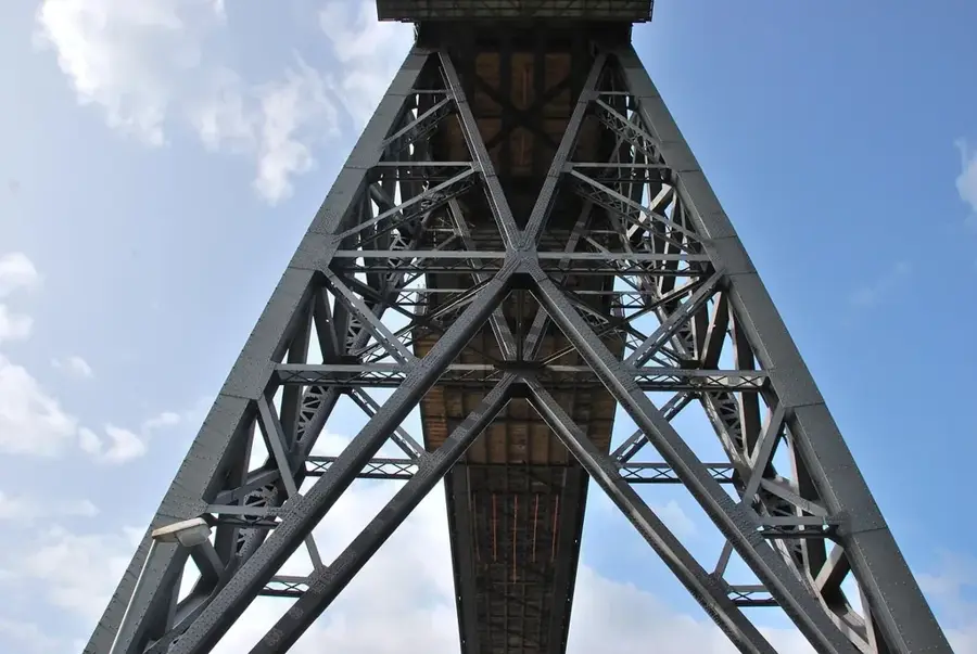
- The Hindenburgdamm was officially opened on June 1, 1927.
- Sylt is home to Germany's northernmost oyster farm located near List.
Explore nearby
Notable places around
Route planner — Car & Motorhome
Where do you start? We build the route here, with stops and country notes along the way.
© OpenStreetMap contributors · OpenRouteService
Sights in the town Sylt (9)
Sights nearby
Frequently asked questions
Can you drive directly to Sylt?
Which town is the center of the island?
What is the Red Cliff?
What culinary specialties are there?
Can you go mudflat hiking on Sylt?
Sylt: where is it located?
Sylt: what is there to see?
Sylt: when is the best time to visit?
Sylt: why is it worth visiting?

Nearby cities