Plizio Visual Lab
Wupper

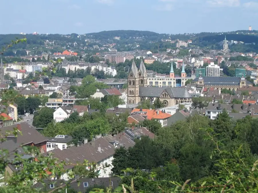
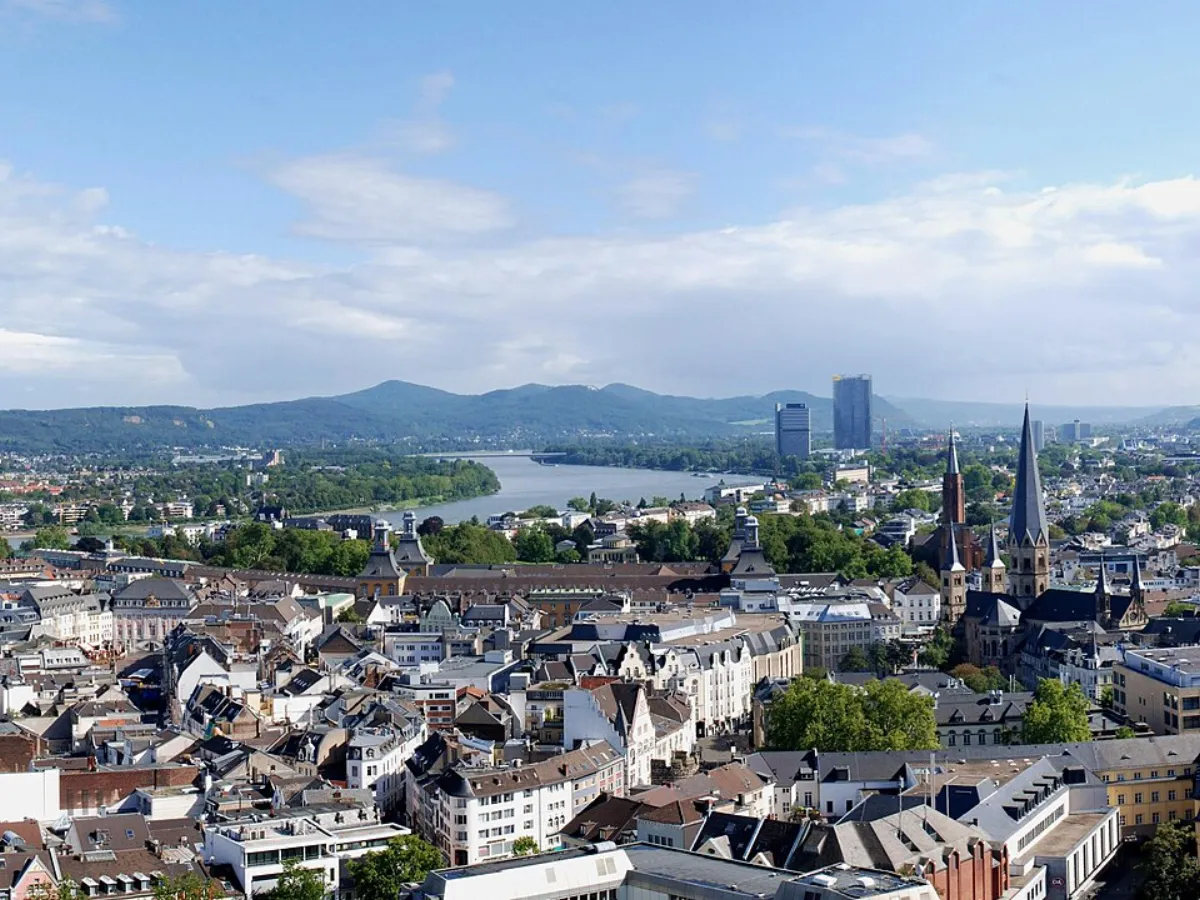
The Wupper is a 116-kilometer-long tributary of the Rhine, flowing through the topographically diverse Bergisches Land region of North Rhine-Westphalia. The river achieved global recognition primarily through the city of Wuppertal, where the world-famous suspension railway (Schwebebahn) runs directly above the riverbed for approximately ten kilometers. During the 19th century, the Wupper Valley was a cradle of German early industrialization, with the river's water power extensively harnessed for textile mills and metal workshops. This industrial legacy once led to severe pollution, but comprehensive sewage treatment and renaturation projects have significantly restored water quality today. In its upper reaches, the Wupper is regulated by numerous dams, such as the Wupper Reservoir, which serve for both flood control and drinking water supply. The steep slopes of the Wupper Valley now provide valuable recreational spaces for hikers and nature enthusiasts in the heart of a densely populated metropolitan area.
- Location: North Rhine-Westphalia, Germany
- Top sights: Lichtenplatzer Kapelle · Extruder (1932) · Vulkanisationspresse (1905)
- Nearby: Remscheid (8 km)
Best time to visit & climate
The most pleasant time to visit is Jun–Aug.
| Jan | Feb | Mar | Apr | May | Jun | Jul | Aug | Sep | Oct | Nov | Dec | |
|---|---|---|---|---|---|---|---|---|---|---|---|---|
| Avg °C | 2 | 2 | 5 | 10 | 13 | 17 | 19 | 18 | 15 | 11 | 6 | 3 |
| Rain mm | 84 | 67 | 61 | 45 | 65 | 68 | 78 | 82 | 62 | 67 | 77 | 86 |
📋 Practical info
Geography
Facts
- Total length of 116.5 kilometers
- Upper reaches are known as the Wipper
- Elevation drop of 407 meters from source to mouth
- Suspension railway runs over the river for 10 km
- A total of 15 dams in the catchment area
- Catchment area size: 813 square kilometers
Explore nearby
Notable places around
Route planner — Car & Motorhome
Where do you start? We build the route here, with stops and country notes along the way.
© OpenStreetMap contributors · OpenRouteService
Sights in the town Wupper (10)
Kleiner Torbogen
Ruins of a small archway in Wuppertal.
Toelleturm
Observation tower in Wuppertal, open in good weather on weekends and holidays.
Vorwerk-Park🌳 park
Park in Wuppertal, offering green spaces for recreation.
Murmelbachtal
Nature reserve in Germany, located in the valley of the Murmelbach stream.
Naherholungsgebiet Scharpenacken🌳 park
Former military training area, now a local recreation area in Wuppertal.
Scharpenacker Berge
Mountain in Wuppertal, offering viewpoints.
Sights nearby
Frequently asked questions
What is the Wuppertal Suspension Railway?
Where is Germany's highest railway bridge located?
Can you go canoeing on the Wupper?
What hiking trails are there along the river?
Was the Wupper an industrial river in the past?
Wupper: where is it located?
Wupper: what is there to see?
Wupper: when is the best time to visit?
Wupper: why is it worth visiting?

Nearby cities