Plizio Visual Lab
Wupper
Plizio editör ekibiVeri Kaynakları
Nehir
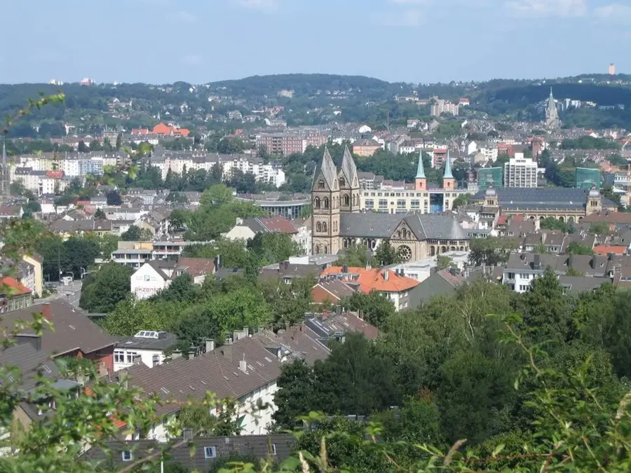
Wupper, Nordrhein-Westfalen'deki topografik olarak çeşitli Bergisches Land bölgesinden geçen, Rhein'ın 116 kilometre uzunluğundaki bir koludur. Nehir, özellikle dünyada benzersiz olan Schwebebahn'ın yaklaşık on kilometrelik bir mesafe boyunca doğrudan nehir yatağının üzerinde çalıştığı Wuppertal şehri sayesinde tanınmıştır. 19. yüzyılda Wupper vadisi, nehrin su gücünün tekstil fabrikaları ve metal atölyeleri için yoğun bir şekilde kullanılmasıyla Alman erken sanayileşmesinin merkezlerinden biriydi. Bu endüstriyel kullanım zaman zaman aşırı kirlenmeye yol açmış, ancak kapsamlı arıtma sistemleri ve doğallaştırma projeleri su kalitesini bugün tekrar iyileştirmiştir. Üst kısmında nehir, hem sel korumasına hem de içme suyu teminine hizmet eden Wuppertalsperre gibi barajlarla düzenlenmektedir. Wupper vadisinin dik yamaçları, bugün yoğun nüfuslu bir bölgenin ortasında yürüyüşçüler ve doğa severler için değerli dinlenme alanları sunmaktadır.
Haritada keşfet
Almanya hakkında ne kadar bilgilisin?
Etkileşimli haritada 10 çeşitli zorlukta şehirleri, manzaraları ve bölgeleri bul.
Harita sınavını başlat
10 zorluk
Seyahatin, senin anın
Wupper’den bir kartpostal
Kendi fotoğrafını yerel posta puluyla kişisel bir kartpostala çevir. Ücretsiz ve kayıt gerektirmez.
Kartpostal oluştur- Konum: Nordrhein-Westfalen, Almanya
- Öne çıkanlar: Lichtenplatzer Kapelle · Extruder (1932) · Vulkanisationspresse (1905)
- Yakınlar: Remscheid (8 km)
En iyi ziyaret zamanı & iklim
En keyifli dönem: Haz–Ağu.
| Oca | Şub | Mar | Nis | May | Haz | Tem | Ağu | Eyl | Eki | Kas | Ara | |
|---|---|---|---|---|---|---|---|---|---|---|---|---|
| Ort. °C | 2 | 2 | 5 | 10 | 13 | 17 | 19 | 18 | 15 | 11 | 6 | 3 |
| Yağmur mm | 84 | 67 | 61 | 45 | 65 | 68 | 78 | 82 | 62 | 67 | 77 | 86 |
📋 Pratik bilgiler
Ulaşım
Wupper, Wuppertal gibi kentsel alanlarda genellikle yoğun yol kenarlarında veya ünlü asma raylı trenin altındadır; Bergisches Land’in doğal parçalarında bazen vadinin içine dik yürüyüş yolları iner.
En iyi sezon
Wupper vadisi ve çevresindeki ormanlar erken ilkbahardan renkli sonbahara kadar yapılan yürüyüşler için özellikle çekicidir. Kışın ormanlı patikalar kaygan ve gölgeli olabilir; yürüyüşçüler ekstra dikkat etmelidir.
Arazi ve yollar
Nehir karakteri kentsel alanlarda ağır derecede kanallaştırılmış kesimlerden derin vadilerde vahşi, romantik ve taşlı kıyılara kadar değişir; dar ve bazen engebeli patikalarda sıklıkla sağlam basmak gerekir.
Neler getirmeli
Wuppertal’de şehir gezintisi için günlük kıyafet yeterlidir. Bergisches Land’daki yürüyüş parkurlarını keşfedenlerin kesinlikle sağlam yürüyüş botlarına ihtiyacı vardır; yollar sıklıkla engebeli, kök dolu ve yoğun yağıştan sonra çok çamurlu olur.
Otopark
Wuppertal’de şehirde gerçek bir otopark garaj bolluğu vardır. Şehir dışı yürüyüşler için köprüler veya tarihi değirmenler yakınındaki küçük yürüyüş otoparkları ideal olup çoğu zaman mükemmel başlangıç noktalarıdır.
Güvenlik
Şehirde yoğun yollarda azami dikkat gereklidir. Doğal alanlarda ise işaretli patikalardan ayrılmamak ve nehir kenarındaki kaygan taşlarda son derece dikkatli hareket etmek önemlidir.
Gerekli süre
Asma raylı trenle nehir üzerinde kısa bir yolculuk yalnızca kısa sürer; ancak vadide gerçekleştirilen birleşik bir yürüyüş, doğa ve endüstri kültürünü iyice keşfetmek isterseniz kolayca 3-5 saat sürebilir.
Coğrafya
Gerçekler
- Toplam uzunluğu 116,5 kilometredir
- Kaynağındaki akarsu adı Wipper'dir
- Kaynaktan ağza yükseklik farkı: 407 metre
- Schwebebahn nehrin üzerinden 10 km boyunca geçer
- Havzasında toplam 15 baraj bulunmaktadır
- Havza alanı: 813 kilometrekare
Yakınları keşfet
Çevredeki dikkat çekici yerler
Rota planlayıcı — Araba & Karavan
Nereden başlıyorsunuz? Burada rota oluşturuyoruz, yol boyunca duraklar ve ülke notları ile.
Araç
Sadece şu duraklar (isteğe bağlı):
Karavan boyutları
© OpenStreetMap contributors · OpenRouteService
Kasabadaki görülecek yerler Wupper (10)
Kleiner Torbogen
Wuppertal’de küçük bir kemerin harabeleri.
Toelleturm
Wuppertal’deki gözlem kulesi; iyi havalarda hafta sonları ve tatillerde açıktır.
Vorwerk-Park🌳 park
Park in Wuppertal, offering green spaces for recreation.
Murmelbachtal
Almanya’da, Murmelbach deresi vadisinde yer alan bir doğa koruma alanı.
Naherholungsgebiet Scharpenacken🌳 park
Eski bir askeri eğitim alanı, şimdi Wuppertal’de yerel bir rekreasyon alanı.
Scharpenacker Berge
Mountain in Wuppertal, offering viewpoints.
Çevredeki gezilecek yerler
Sıkça sorulan sorular
Wuppertal Asma Demiryolu nedir?
Wuppertal boyunca Wupper nehri üzerinde adeta yüzen, dünyada eşi benzeri olmayan bir toplu taşıma sistemidir.
Almanya'nın en yüksek demiryolu köprüsü nerede?
Müngsten Köprüsü, Solingen ile Remscheid arasında Wupper'ı 107 metre yükseklikte aşar.
Wupper'da kano yapılabilir mi?
Evet, özellikle Leichlingen ile Opladen arasında kano rotaları belirlenmiştir ve popülerdir.
Nehir boyunca hangi yürüyüş parkurları var?
Wupperweg rotası, nehrin kaynağından Ren ile birleştiği yere kadar yaklaşık 125 km boyunca eşlik eder.
Wupper geçmişte sanayi nehri miydi?
Evet, tekstil endüstrisinin merkeziydi; bugün su kalitesi önemli ölçüde iyileşmiştir.
Wupper: nerede yer alıyor?
Wupper, Nordrhein-Westfalen, Almanya içinde yer alır.
Wupper: gezilecek yerler neler?
Öne çıkanlar: Lichtenplatzer Kapelle, Extruder (1932), Vulkanisationspresse (1905).
Wupper: en iyi ziyaret zamanı ne zaman?
Ziyaret için en keyifli zaman Haz, Ağu.
Wupper: neden ziyaret edilmeye değer?
Wupper, Nordrhein-Westfalen'deki topografik olarak çeşitli Bergisches Land bölgesinden geçen, Rhein'ın 116 kilometre uzunluğundaki bir koludur.

Plizio ile keşfet
Avrupa içinde daha fazla yer keşfet
Almanya içinde daha fazla yer →
Yakındaki şehirler
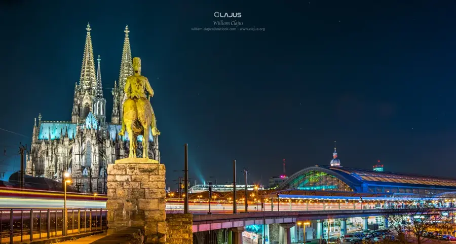
Köln
Köln, Kuzey Ren-Vestfalya'da Ren Nehri kıyısında yer alan Almanya'nın dördüncü büyük şehridir.
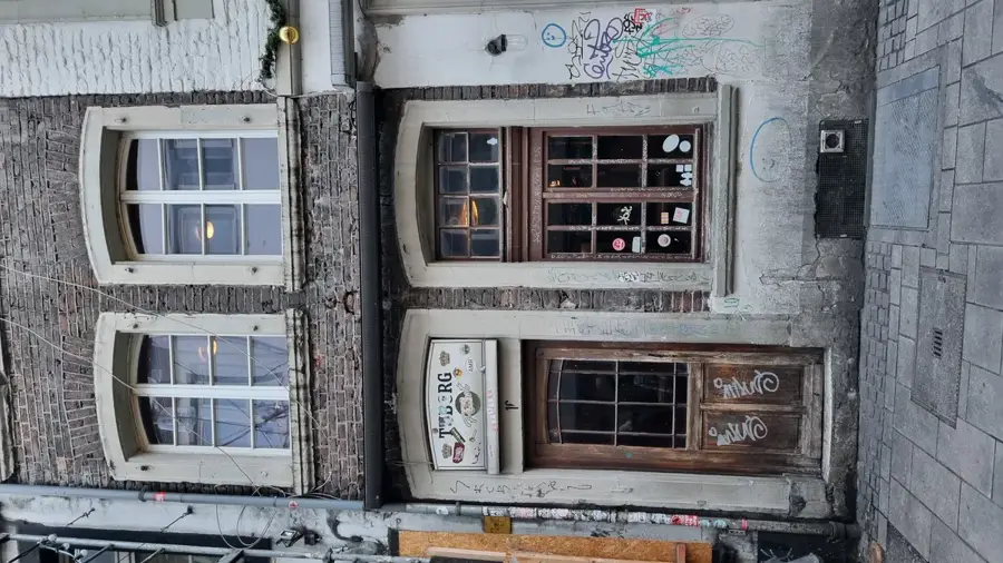
Düsseldorf
Kuzey Ren-Vestfalya'nın başkenti Düsseldorf, Ren Nehri üzerinde moda, sanat ve iş merkezi olarak bilinir.
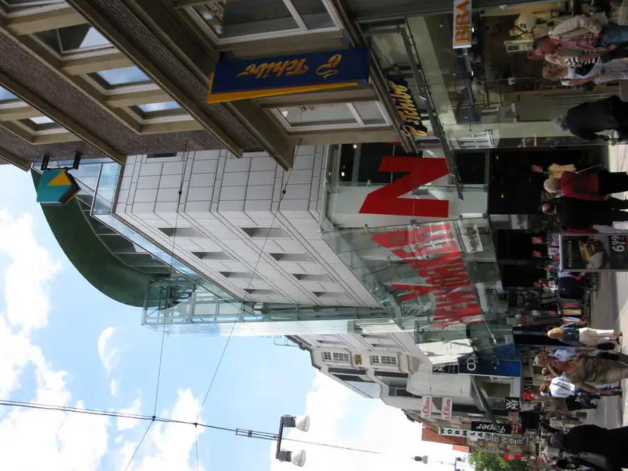
Dortmund
Dortmund, sanayi geçmişi, futbola olan tutkusu ve yeşil parklarıyla tanınan Ruhr bölgesinin en büyük şehridir.
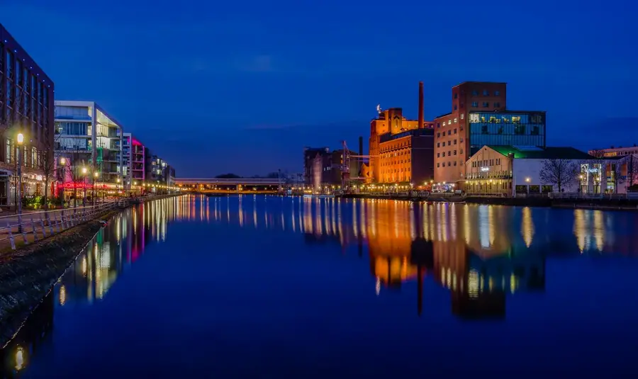
Duisburg
Duisburg, Ruhr ve Ren nehirlerinin birleştiği noktada yer alır ve kıyı konumuyla batı Ruhr bölgesini güçlü biçimde biçimlendirir.
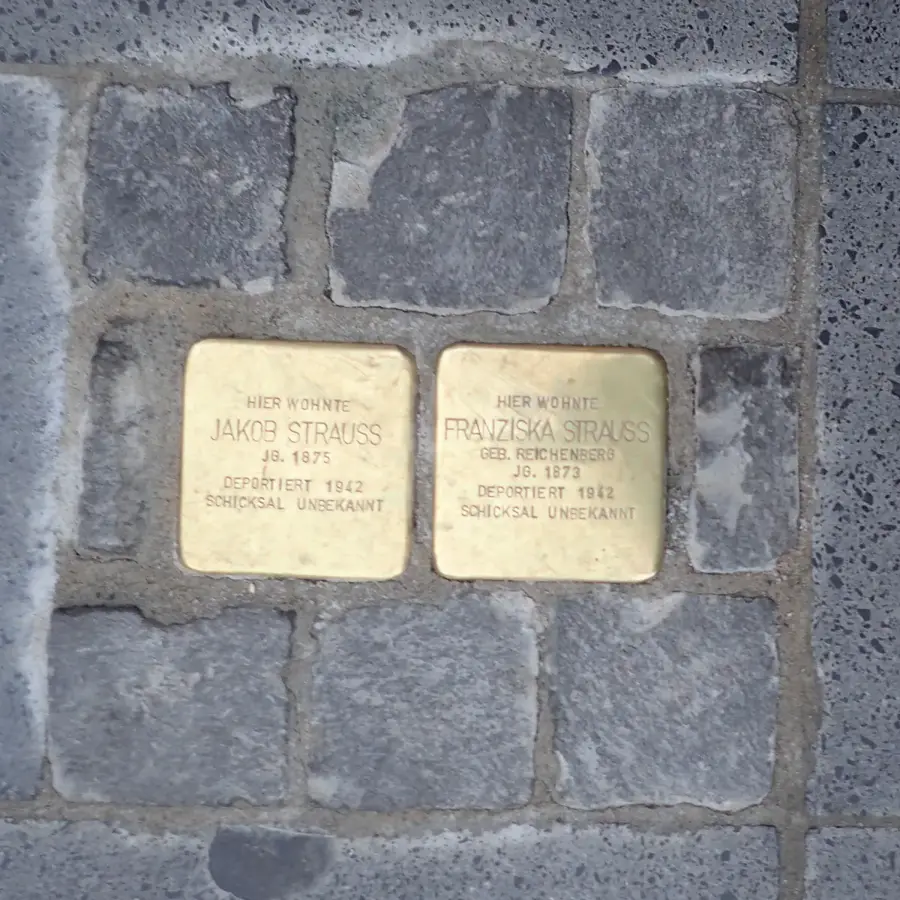
Bochum
Bochum, Ruhr Bölgesi'nin kalbinde yer alan büyük bir şehirdir ve ağır sanayiden bilgi ve hizmet odaklı bir topluma başarılı geçişi temsil…
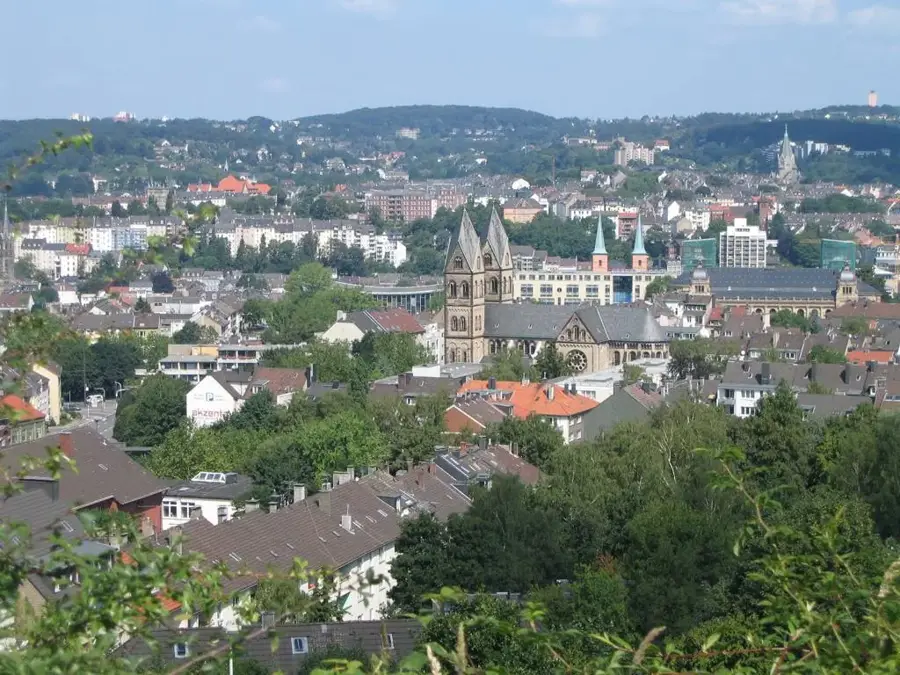
Wuppertal
Bergisches Land’daki Wuppertal, dünyanın en eski elektrikli asma raylı sistemlerinden biri olan tarihî asma raylı treniyle ünlüdür.
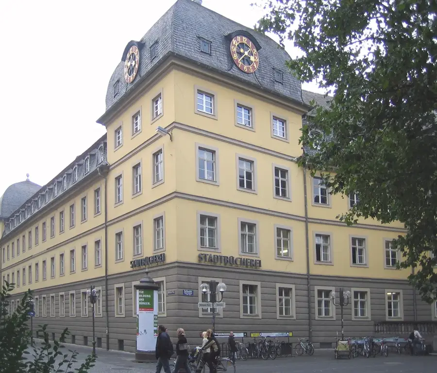
Bonn
Bonn, Kuzey Ren-Vestfalya'nın güneyinde Ren Nehri kıyısında yer alır ve 2.000 yılı aşan bir tarihe sahiptir.
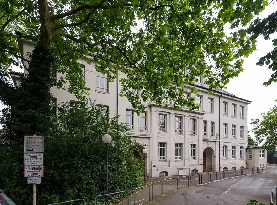
Gelsenkirchen
Ruhr Bölgesi'nin merkezinde yer alan Gelsenkirchen, bir zamanlar kömür ocakları ve kok fabrikalarının kıvrımlı kuleleri ile dumanlı bacal…
🗺️
Mönchengladbach
Mönchengladbach futbol kulübü ile tanınır.
Krefeld
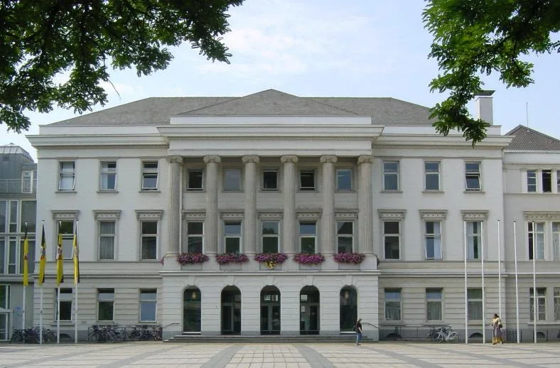
Krefeld sıklıkla kadife ve ipek şehri olarak anılır.
Oberhausen
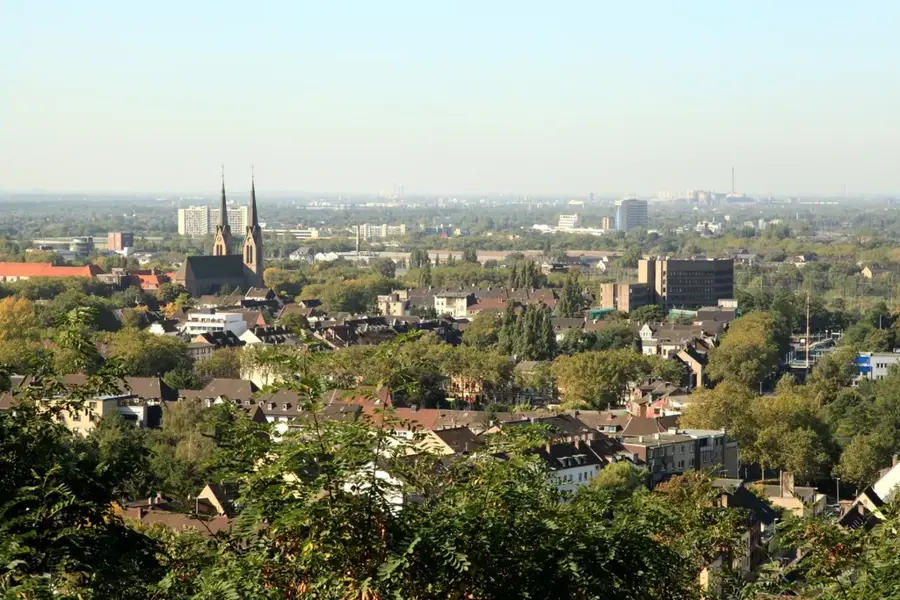
Oberhausen, Kuzey Ren-Vestfalya'da Ruhr Bölgesi'nin batısında yer alır ve bölgenin başarılı yapısal dönüşümünün bir simgesidir.
Hagen
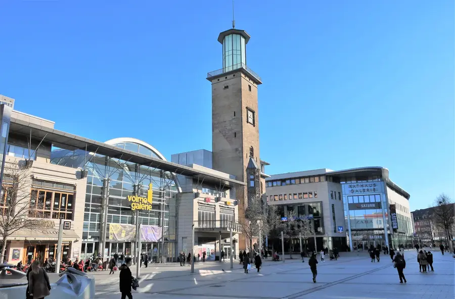
Hagen Sauerland'ın kapısı olarak adlandırılır.
Hamm
Hamm büyük cam filiyle tanınır.
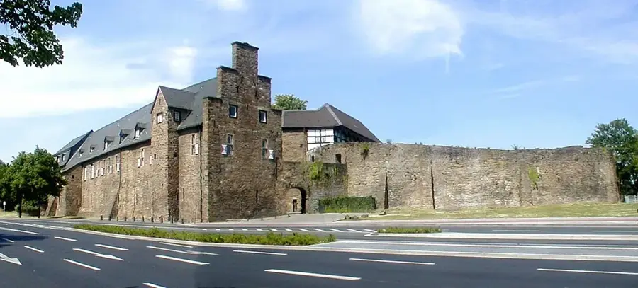
Mülheim an der Ruhr
Mülheim an der Ruhr, Ruhr bölgesinde yeşil bir sanayi şehri olup Aldi Süd ve Tengelmann gibi büyük perakende devlerine ev sahipliği yapar.
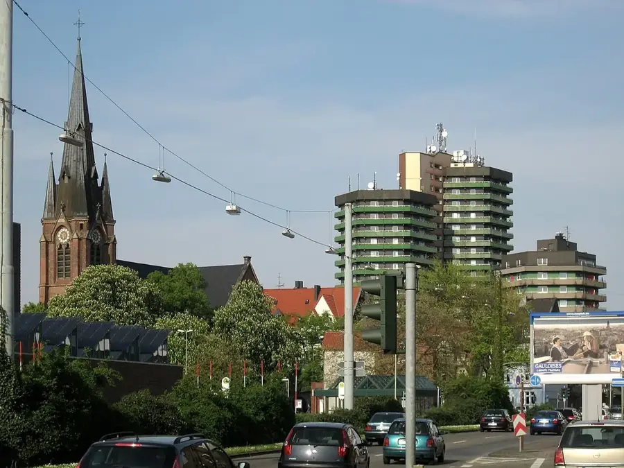
Herne
Herne, Ruhr bölgesinin merkezi bir kenti olup önemli arkeoloji müzesi ve Almanya'nın en büyük halk festivallerinden biri olan Cranger Kir…