Plizio Visual Lab
Müggelsee
Weather…
Water temperature…
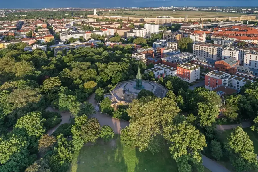
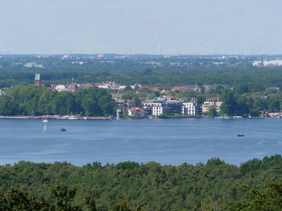
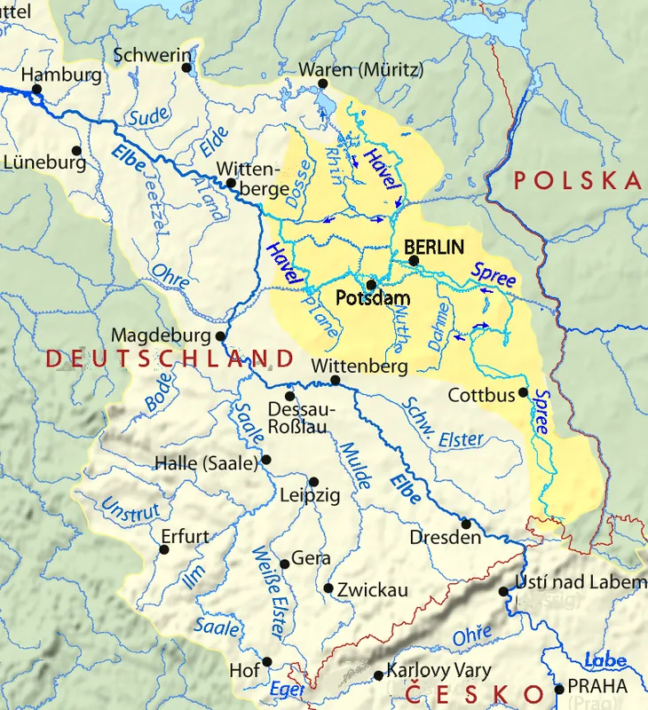
Müggelsee, located in the Treptow-Köpenick district, is Berlin's largest lake, covering an area of over 7.4 square kilometers and serving as a major recreational destination in the city's east. Fed and drained by the River Spree, locally known as the Müggelspree, the lake is divided into Großer and Kleiner Müggelsee. Beyond its role in leisure, the lake is vital for Berlin's drinking water supply; the Friedrichshagen waterworks on its northern shore is among the oldest and largest facilities of its kind. The surrounding Müggel Hills, reaching up to 115 meters, represent Berlin's highest natural elevation and offer numerous hiking trails and the Müggel Tower with its panoramic views. Historically, the area is deeply connected to the fishing town of Köpenick and has been a favorite summer retreat for Berliners since the 19th century. Today, the lake is a popular spot for sailing, windsurfing, and swimming, while passenger ferries operate regular tours from the Köpenick Palace square.
- Location: Berlin, Germany
- Top sights: Badestelle Kleiner Müggelsee · Kamerun · Läufer
- Nearby: Erkner (7 km)
Best time to visit & climate
The most pleasant time to visit is Jun–Aug.
| Jan | Feb | Mar | Apr | May | Jun | Jul | Aug | Sep | Oct | Nov | Dec | |
|---|---|---|---|---|---|---|---|---|---|---|---|---|
| Avg °C | -1 | 0 | 4 | 9 | 14 | 18 | 21 | 20 | 15 | 10 | 5 | 1 |
| Rain mm | 53 | 38 | 41 | 29 | 53 | 57 | 81 | 58 | 48 | 48 | 50 | 47 |
📋 Practical info
Geography
Facts
- The lake covers a water surface area of approximately 7.4 square kilometers.
- At its deepest point, Müggelsee measures about 8 meters.
- The Friedrichshagen waterworks began operations in 1893.
- The Friedrichshagen Spree Tunnel has crossed under the lake since 1927.
- The Müggel Hills reach an elevation of 114.7 meters above sea level.
- The current Müggel Tower was rebuilt in 1961 following a fire.
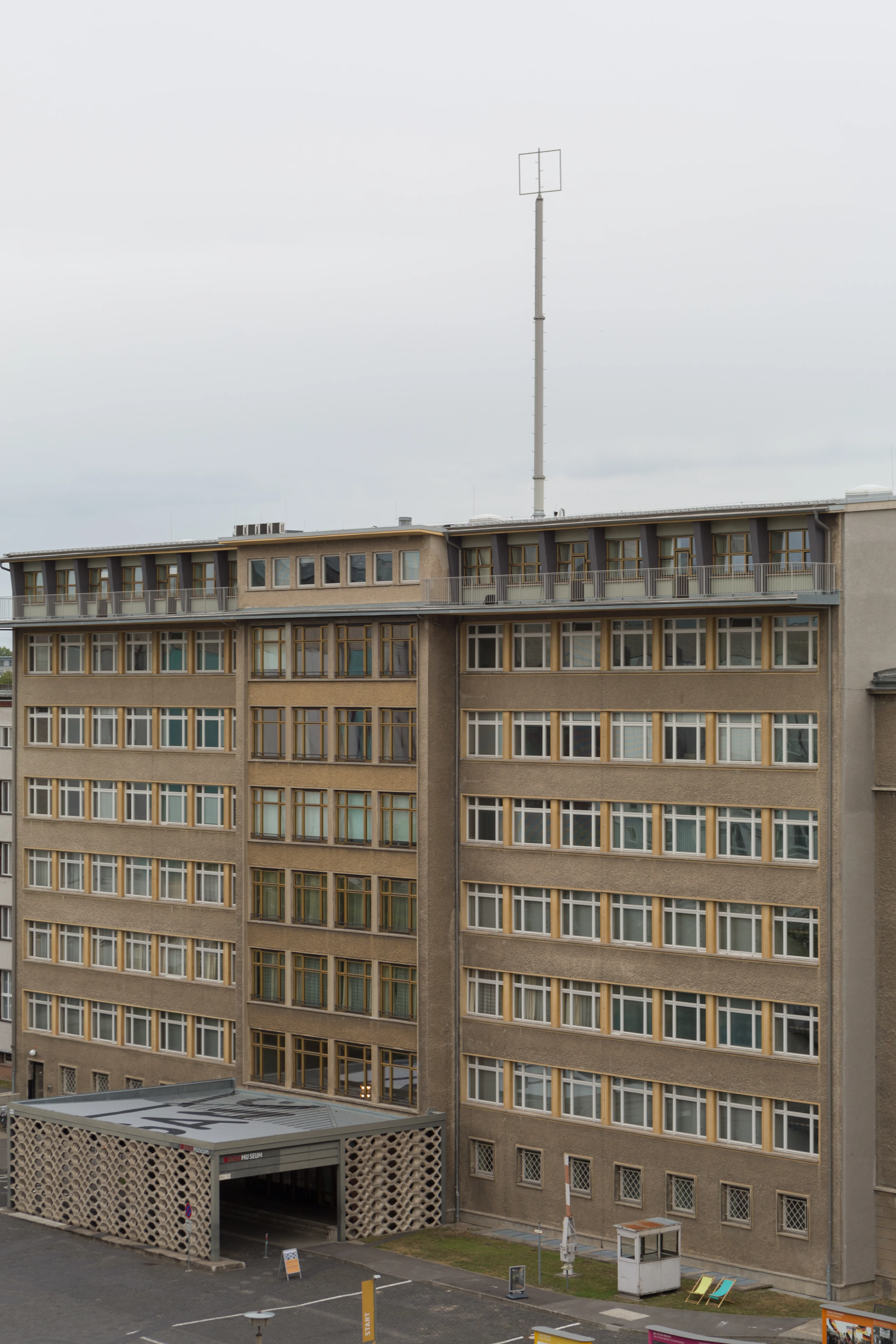
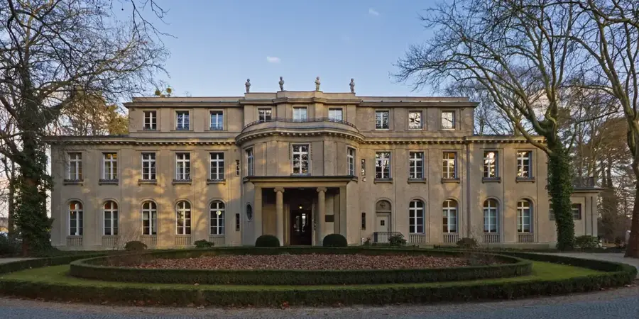
Explore nearby
Notable places around
Route planner — Car & Motorhome
Where do you start? We build the route here, with stops and country notes along the way.
© OpenStreetMap contributors · OpenRouteService
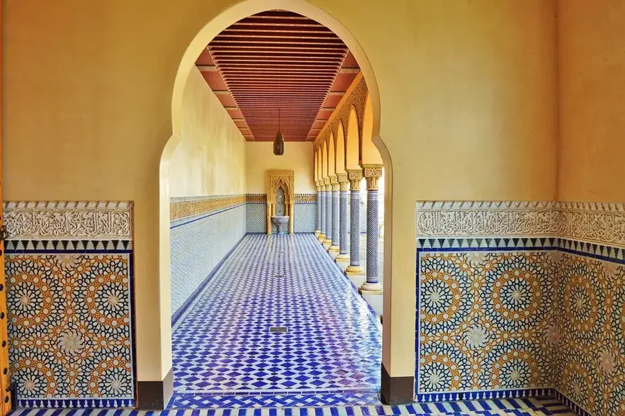
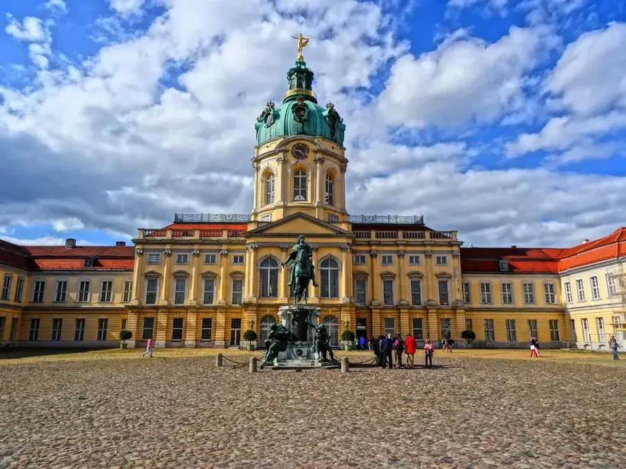
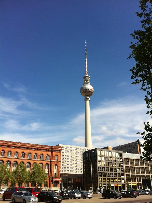
Sights in the town Müggelsee (3)
Sights nearby
Frequently asked questions
How big is the Müggelsee?
Where can you go swimming there?
Can you rent boats?
What are the Müggelberge?
How to get there from the city center?
Müggelsee: where is it located?
Müggelsee: what is there to see?
Müggelsee: when is the best time to visit?
Müggelsee: why is it worth visiting?

Nearby cities
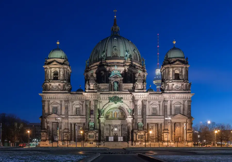
History & landmarks
Nature
More places