Plizio Visual Lab
Havel (Berlin)
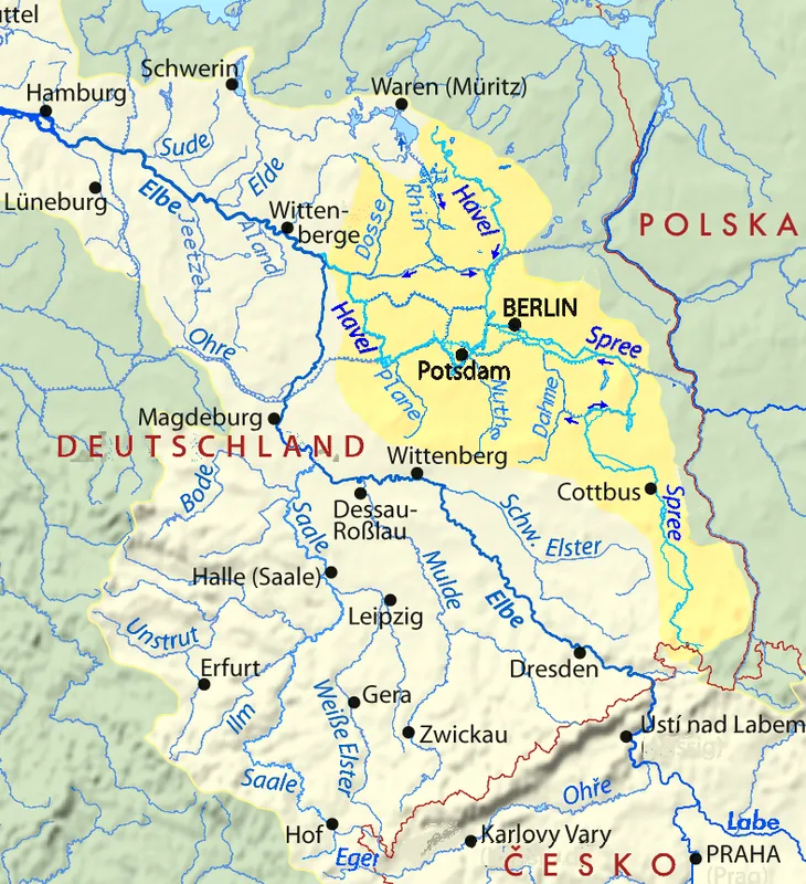
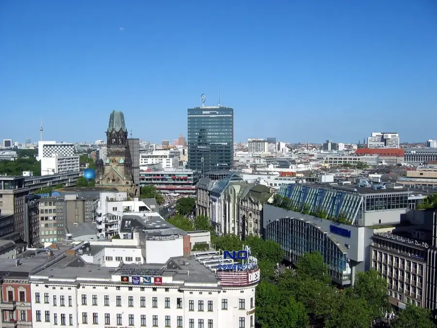
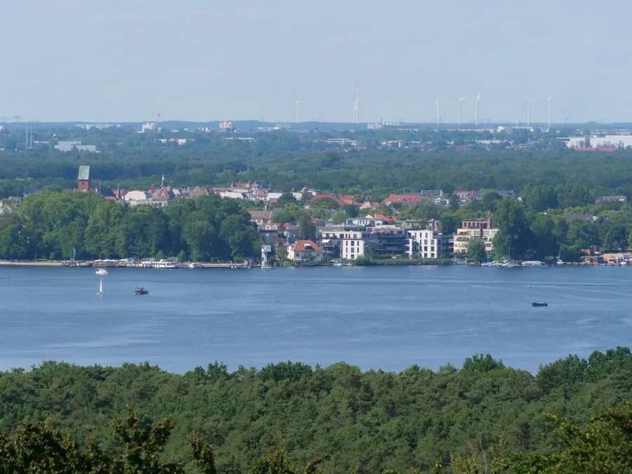
The Havel is a major river in northeastern Germany, flowing for approximately 334 kilometers and expanding into wide, lake-like stretches within Berlin. It originates in Mecklenburg-Western Pomerania and eventually empties into the Elbe. In the Berlin metropolitan area, it defines the western cityscape, passing through prominent water bodies such as Wannsee, Tegeler See, and Unterhavel. The river serves as a vital artery for inland shipping, connecting Berlin to the North Sea and the Eastern European waterway network. Historically, the Havel was a key factor in the region's settlement and partly formed the border between West Berlin and East Germany during the Cold War. Its banks are lined with dense forests, historic parks, and grand villa districts, particularly in Spandau and Steglitz-Zehlendorf. Today, the Havel is a hub for water sports and tourism, while also providing ecologically significant habitats for a wide variety of fish and bird species.
- Location: Berlin, Germany
- Top sights: Kleine Badewiese · Kuhhorn
- Nearby: Charlottenburg (7 km)
Best time to visit & climate
The most pleasant time to visit is Jun–Aug.
| Jan | Feb | Mar | Apr | May | Jun | Jul | Aug | Sep | Oct | Nov | Dec | |
|---|---|---|---|---|---|---|---|---|---|---|---|---|
| Avg °C | -1 | 0 | 4 | 9 | 14 | 18 | 21 | 20 | 15 | 10 | 5 | 1 |
| Rain mm | 54 | 38 | 40 | 29 | 53 | 57 | 81 | 58 | 49 | 49 | 49 | 48 |
📋 Practical info
Geography
Facts
- The Havel has a total length of approximately 334 kilometers.
- It descends only about 40 meters in elevation along its entire course to the Elbe.
- The Glienicke Bridge over the Havel was the site of famous Cold War spy exchanges.
- The Spree River flows into the Havel in the district of Spandau.
- The river forms several large lakes within Berlin, most notably the Wannsee.
- The Havel is part of the UNESCO World Heritage site 'Palaces and Parks of Potsdam and Berlin'.
Explore nearby
Notable places around
Route planner — Car & Motorhome
Where do you start? We build the route here, with stops and country notes along the way.
© OpenStreetMap contributors · OpenRouteService
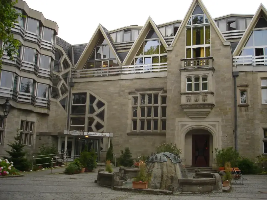
Sights in the town Havel (Berlin) (2)
Sights nearby
Frequently asked questions
Where can you go on a boat trip?
Can you swim in the Havel?
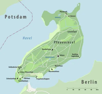
What is Pfaueninsel (Peacock Island)?
Does the Havel flow through the city center?
Can you cycle along the Havel?
Havel (Berlin): where is it located?
Havel (Berlin): what is there to see?
Havel (Berlin): when is the best time to visit?
Havel (Berlin): why is it worth visiting?

Nearby cities

History & landmarks
Nature
More places