Plizio Visual Lab
Walchensee
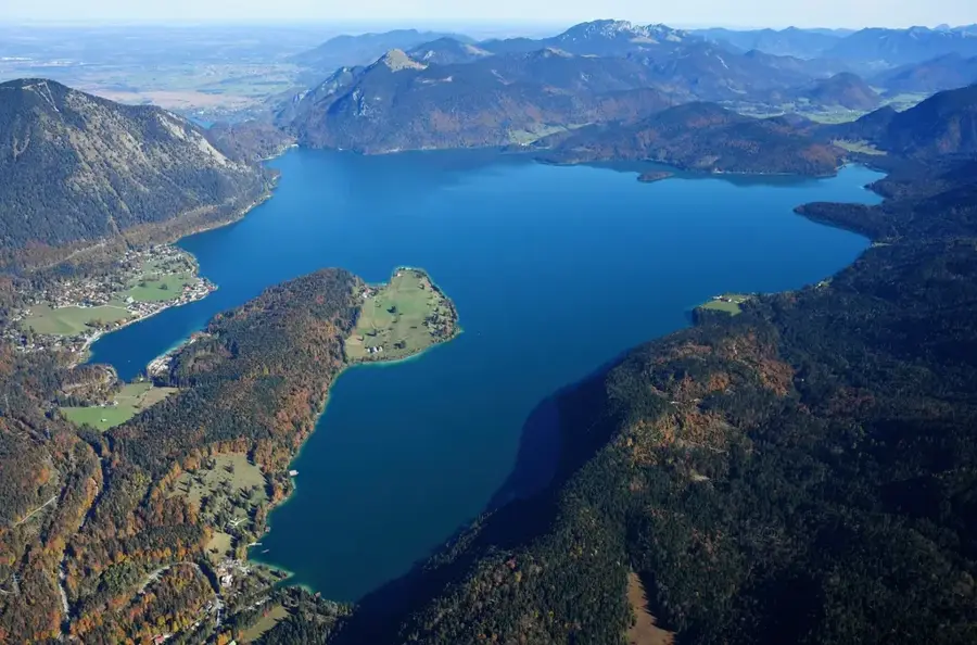
Walchensee is one of Germany's deepest and largest alpine lakes, situated at an elevation of 802 meters in the Bavarian Prealps. With a maximum depth of 192 meters and a surface area of approximately 16 square kilometers, it is a significant body of water in the region. The lake was formed through tectonic subsidence and the erosive power of Ice Age glaciers. Since 1924, it has been used extensively for power generation; the Walchensee Hydroelectric Plant utilizes the elevation drop to the lower Kochelsee. Known for its exceptionally clear and turquoise water, the lake is often referred to as the 'Bavarian Caribbean.' Historically, its surroundings have served as a backdrop for numerous films, including the live-action 'Vicky the Viking.' Specific wind conditions make the lake a premier destination for windsurfers and sailors. The steep shores and surrounding peaks, such as the Herzogstand, create a dramatic landscape. The entire area is under landscape protection to preserve its pristine natural state.
- Location: Bavaria, Germany
- Top sights: Insel Sassau im Walchensee · Herzogstand · Martinskopf
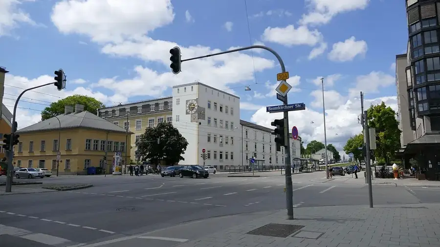
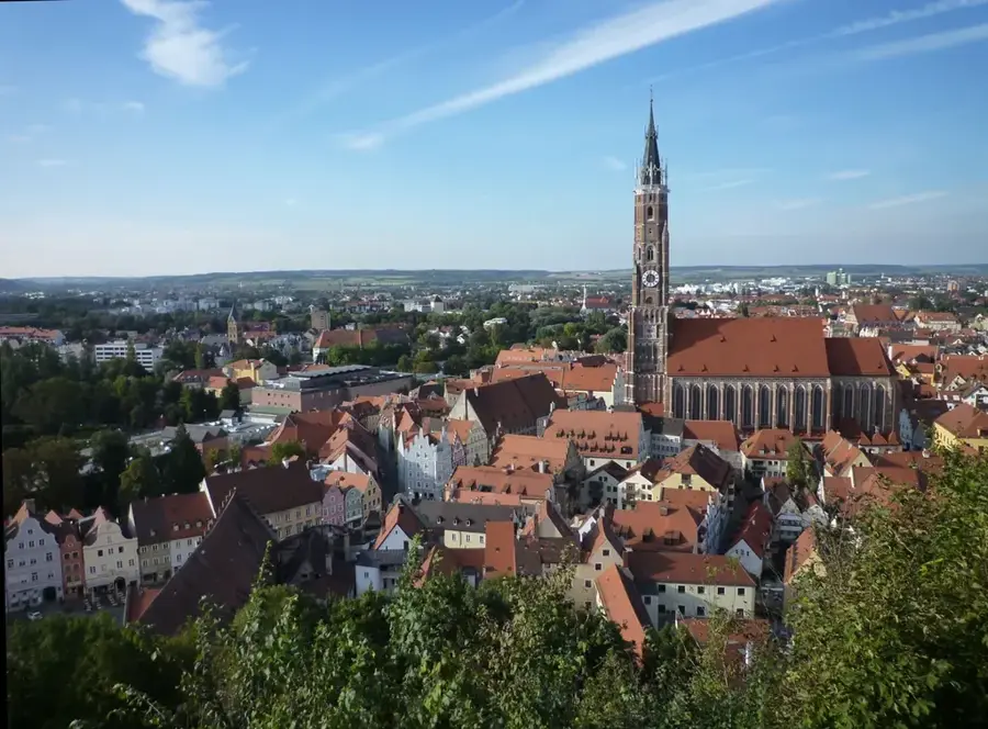
- Nearby: Kochel am See (8 km)
Best time to visit & climate
The most pleasant time to visit is Jul–Sep.
| Jan | Feb | Mar | Apr | May | Jun | Jul | Aug | Sep | Oct | Nov | Dec | |
|---|---|---|---|---|---|---|---|---|---|---|---|---|
| Avg °C | -4 | -3 | 1 | 6 | 10 | 14 | 15 | 15 | 11 | 7 | 2 | -3 |
| Rain mm | 83 | 65 | 81 | 84 | 149 | 175 | 172 | 185 | 119 | 91 | 70 | 74 |
📋 Practical info
Geography
Facts
- The maximum water depth of the lake is 192 meters.
- The Walchensee Hydroelectric Plant entered service in 1924.
- The lake is located at an altitude of 802 meters above sea level.
- The lake's water volume is approximately 1.3 billion cubic meters.
- The total circumference of the lake is about 27 kilometers.
- Water temperatures rarely exceed 20 degrees Celsius in summer.
Explore nearby
Notable places around
Route planner — Car & Motorhome
Where do you start? We build the route here, with stops and country notes along the way.
© OpenStreetMap contributors · OpenRouteService
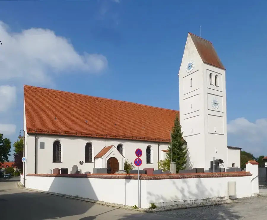
Sights in the town Walchensee (7)
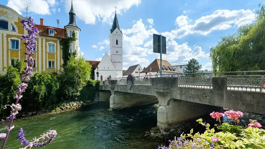
Sights nearby
Frequently asked questions
Why does the Walchensee have such turquoise water?
Is the Walchensee suitable for windsurfing?
Which mountain offers the best view of the lake?
What is the 'Flake' film village?
How deep is the Walchensee?
Walchensee: where is it located?
Walchensee: what is there to see?
Walchensee: when is the best time to visit?
Walchensee: why is it worth visiting?

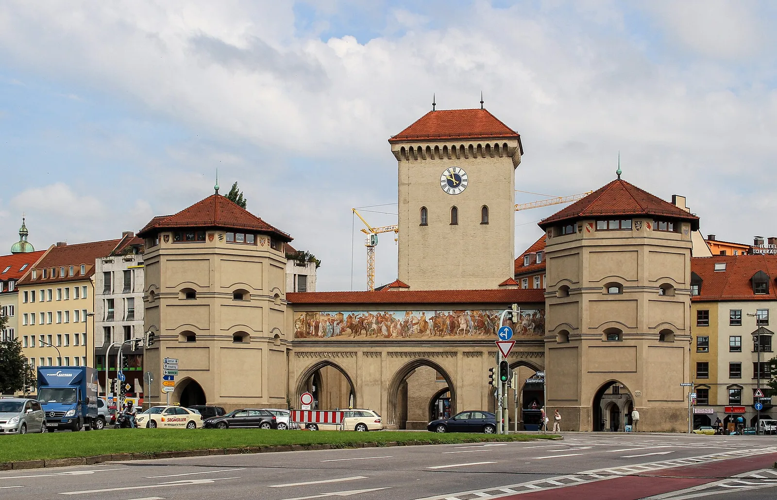
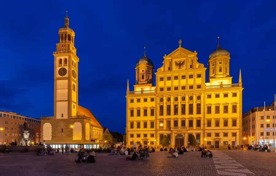
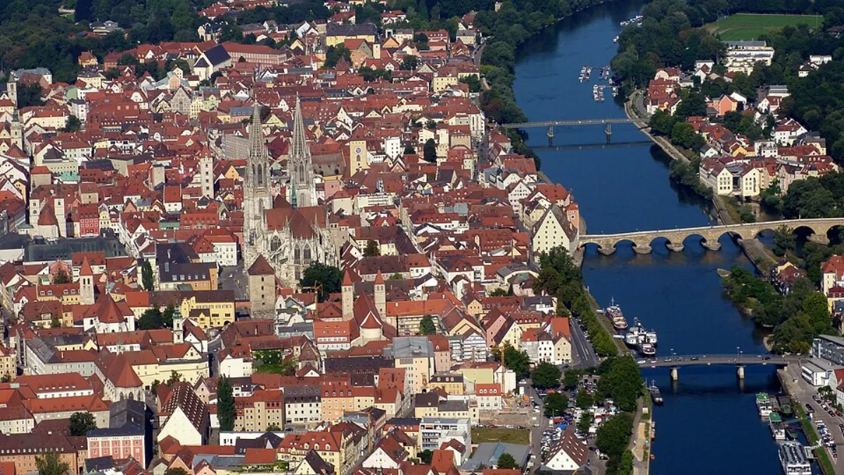
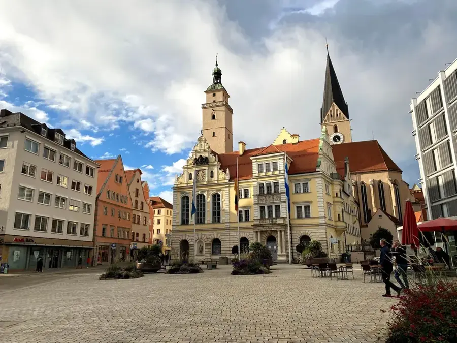
Nearby cities