Plizio Visual Lab
Pepillo Salcedo
ℹ️Practical info — Pepillo Salcedo
▾
🌤 Weather — 5 days
📍 Nearby
Sights nearby
💡 Tips
- Visit Manzanillo Bay in the early morning for the best bird watching and calmest waters.
- Rent a small boat to explore the mangroves near the port.
- Bring insect repellent, especially if visiting the coastal wetlands.
- The border with Haiti is close, so keep your passport handy if you plan to travel west.
🍽 Food
Order fresh catch at simple wooden eateries near the bay.
Find this classic Dominican plantain dish at local breakfast spots on the main street.
Buy locally made treats from vendors near the port.
🛍 Shopping · 🧘 Quiet spots
Pick up tropical fruits like mangoes and papayas around the town center.
Look for small handmade souvenirs near the port area.
A quiet spot to watch the sunset over the bay.
A small, shaded park good for resting in the afternoon.
Water temperature…
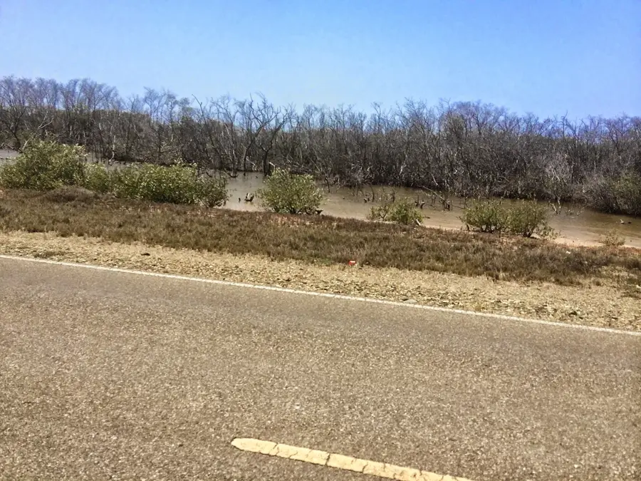
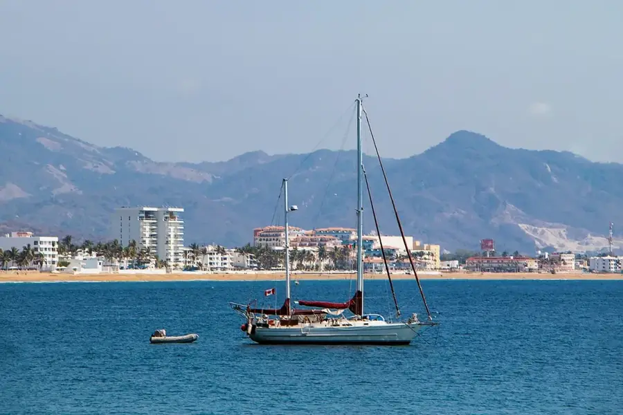
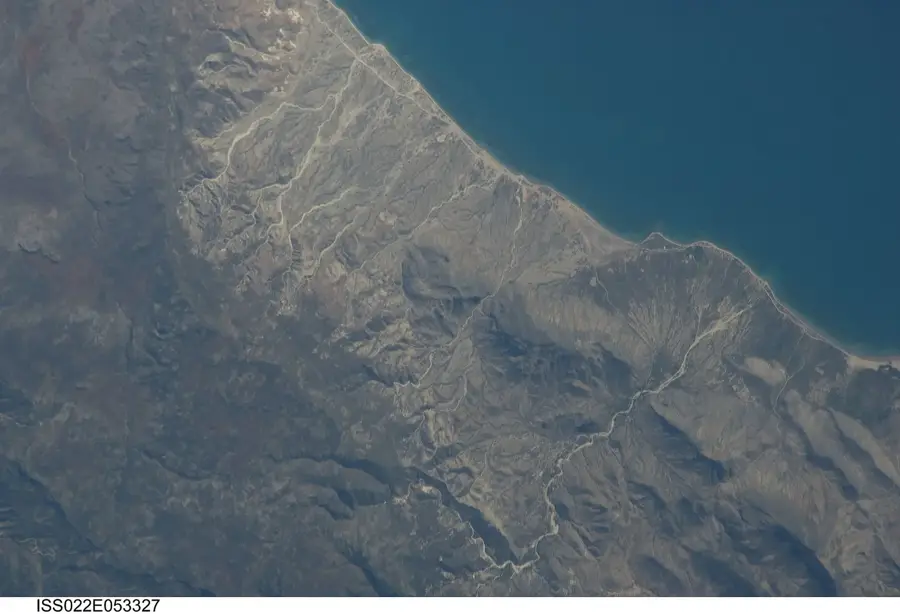
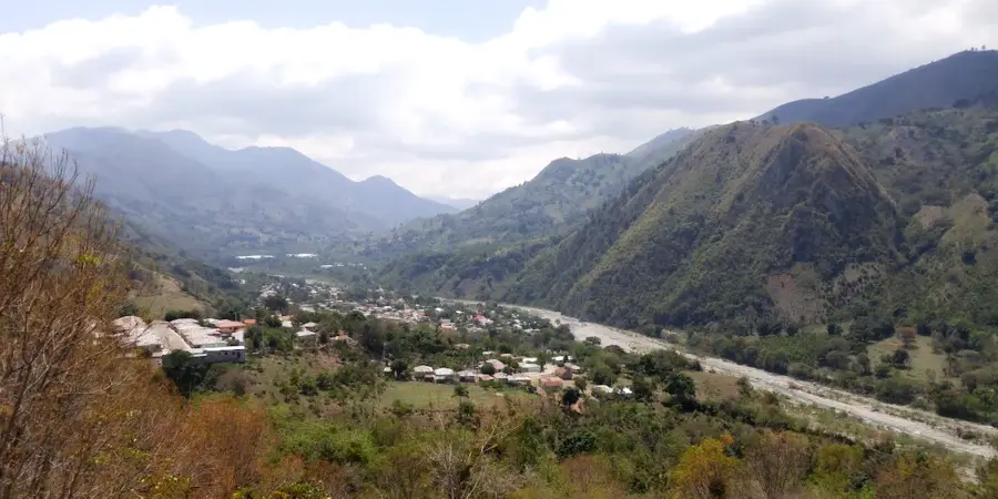
Pepillo Salcedo, also widely known as Manzanillo, is a strategically significant municipality in the Monte Cristi province of the far northwestern Dominican Republic, situated directly on the border with Haiti. The town was purposefully developed in the 1940s by the Grenada Company, a subsidiary of the United Fruit Company, as a logistical hub to facilitate the massive export of bananas to global markets. The geographical centerpiece of the region is the Bay of Manzanillo, whose port is recognized as the most important deep-water harbor in the country due to its extraordinary natural depth, accommodating the world's largest cargo vessels. The surrounding area is protected by the Estero Balsa National Park, an ecologically precious territory of expansive mangroves and wetlands that host a diverse array of seabirds and marine species. In contemporary times, the town is evolving into a central energy and logistics pole, bolstered by the construction of modern natural gas power plants and the planned expansion of its port infrastructure.
- Location: Dominican Republic
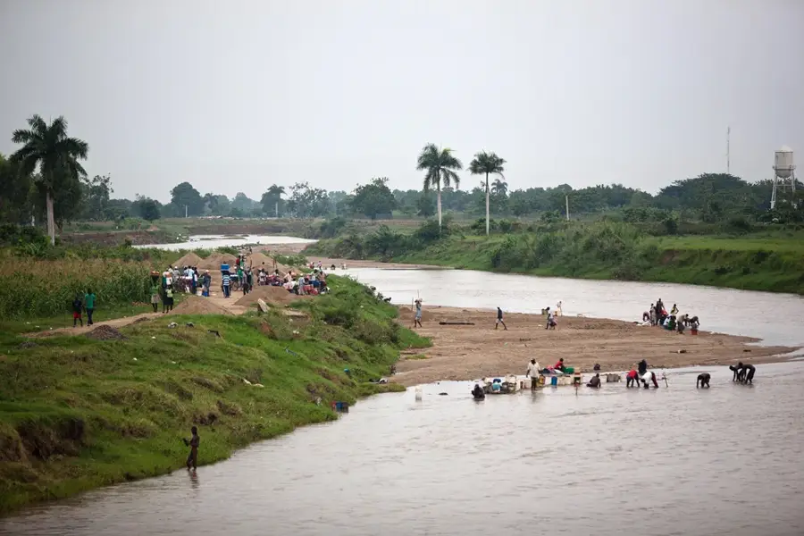
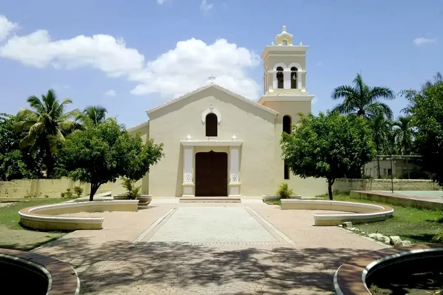
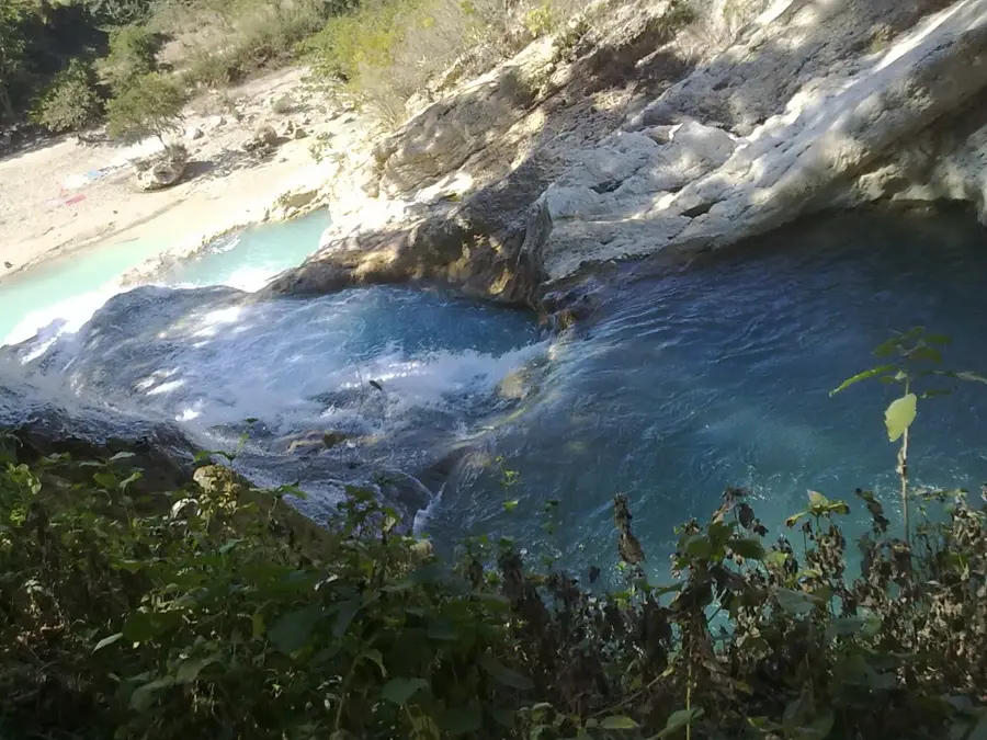
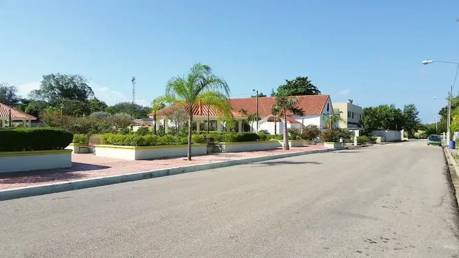
- Top sights: Manzanillo Port · Pepillo Salcedo, Dominican Republic · Dajabón River
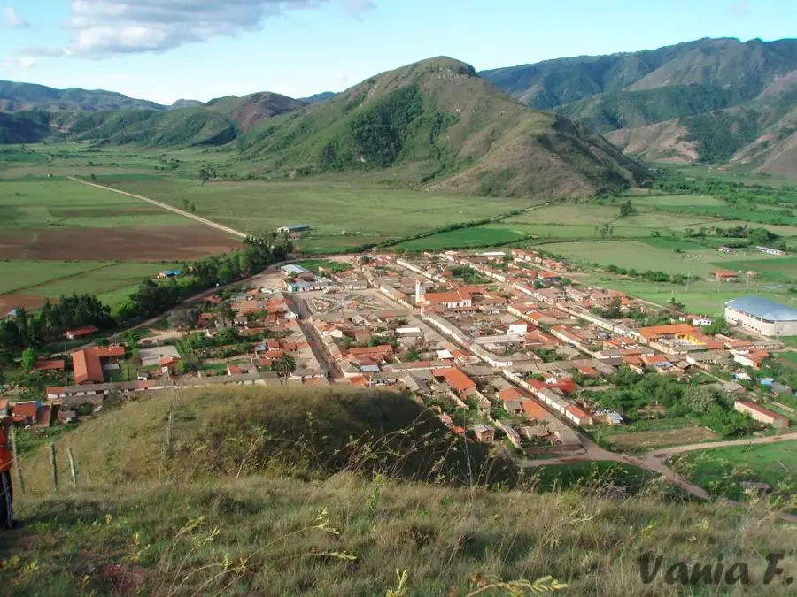
- Nearby: Dajabón (6 km)
- Population: ~3.866 (2016)
Best time to visit & climate
The most pleasant time to visit is Jan, Feb, Dec.
| Jan | Feb | Mar | Apr | May | Jun | Jul | Aug | Sep | Oct | Nov | Dec | |
|---|---|---|---|---|---|---|---|---|---|---|---|---|
| Avg °C | 23 | 23 | 24 | 25 | 26 | 28 | 28 | 28 | 27 | 27 | 25 | 23 |
| Rain mm | 41 | 24 | 37 | 38 | 52 | 32 | 35 | 43 | 46 | 51 | 76 | 46 |
Geography
Facts
- Officially established as a municipality on August 28, 1946
- Home to the deepest natural harbor in the Dominican Republic
- Border town with Haiti, demarcated by the Masacre River
- The Estero Balsa protected area covers approximately 81 square kilometers
- Former headquarters for the banana exports of the Grenada Company
- Site of one of the largest energy infrastructure projects in the Caribbean
Explore nearby
Notable places around
Route planner — Car & Motorhome
Where do you start? We build the route here, with stops and country notes along the way.
© OpenStreetMap contributors · OpenRouteService
Sights in the town Pepillo Salcedo (3)
Frequently asked questions
Why is Pepillo Salcedo (Manzanillo) a special travel destination?
What can you do in the Estero Balsa nature reserve?
Are there beaches in Pepillo Salcedo?
When is the best time for a visit?
Can you see Haiti from here?
Pepillo Salcedo: where is it located?
Pepillo Salcedo: what is there to see?
Pepillo Salcedo: when is the best time to visit?
Pepillo Salcedo: why is it worth visiting?

Nearby cities


History & landmarks


Nature
More places