Plizio Visual Lab
Pan de Guajaibón

Weather…
Water temperature…
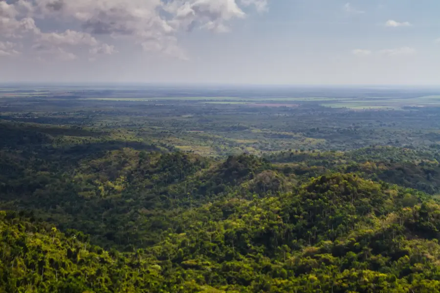
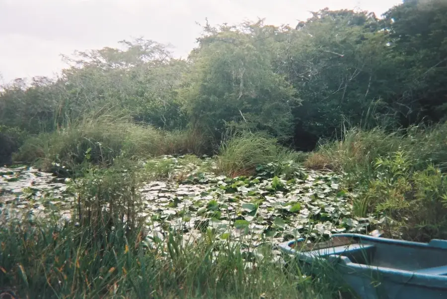
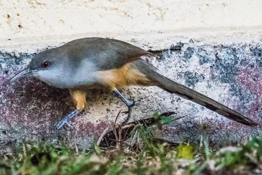
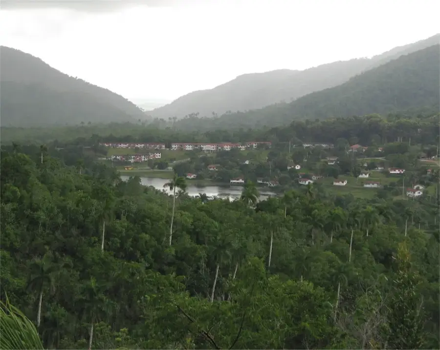
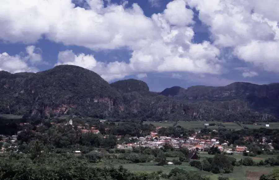
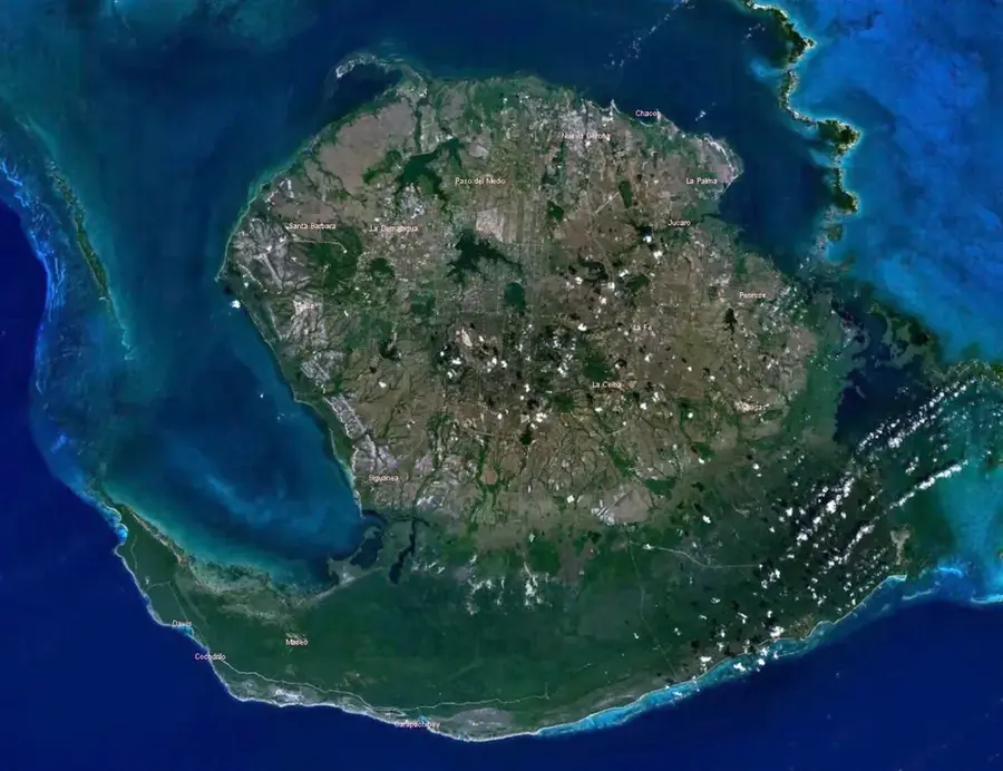
Pan de Guajaibón is the highest elevation in the Sierra de los Órganos, part of the Guaniguanico mountain range in western Cuba. Reaching an altitude of 699 meters above sea level, it stands as a prominent karst formation characterized by its massive limestone structure and steep slopes. The mountain is situated within the Pinar del Río province and serves as a vital ecological corridor for various endemic plant and animal species. Historically, the area was a refuge for cimarrones (escaped slaves) and later played a strategic role during the Cuban wars of independence. At the summit, there is a bronze bust of Antonio Maceo, a key figure in Cuban history, which was placed there in 1943 to honor his legacy. The surrounding landscape features a complex system of caves and underground galleries that are of significant archaeological and geological interest. Today, it is a popular destination for hikers and researchers who study the unique mogote formations and the diverse flora typical of the region's tropical karst environment. Its prominence makes it a natural landmark visible from much of the northern coast of the province.
- Location: Cuba
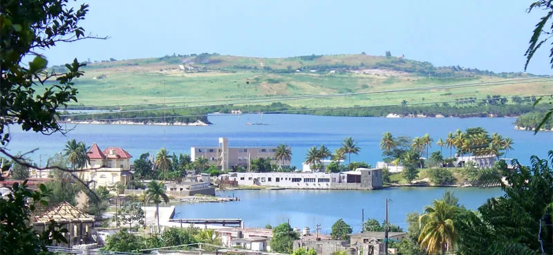
- Nearby: Los Palacios (7 km)
Best time to visit & climate
The most pleasant time to visit is Jan–Mar.
| Jan | Feb | Mar | Apr | May | Jun | Jul | Aug | Sep | Oct | Nov | Dec | |
|---|---|---|---|---|---|---|---|---|---|---|---|---|
| Avg °C | 24 | 24 | 25 | 26 | 27 | 29 | 29 | 29 | 29 | 28 | 26 | 25 |
| Rain mm | 40 | 33 | 27 | 39 | 78 | 123 | 92 | 122 | 125 | 99 | 48 | 31 |
📋 Practical info
Geography
Facts
- The peak reaches a maximum elevation of 699 meters above sea level.
- A bronze bust of General Antonio Maceo was installed at the top in 1943.
- The mountain is the highest point of the Sierra de los Órganos range.
- Its geological structure is predominantly composed of Jurassic limestone.
- The site served as a key refuge for escaped slaves during the colonial era.
- It is a primary habitat for several endemic species of Cuban flora.
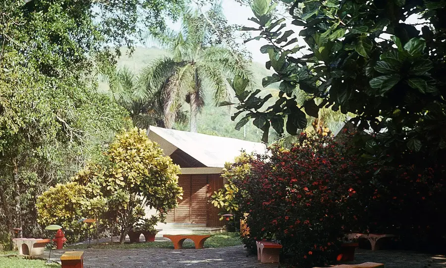
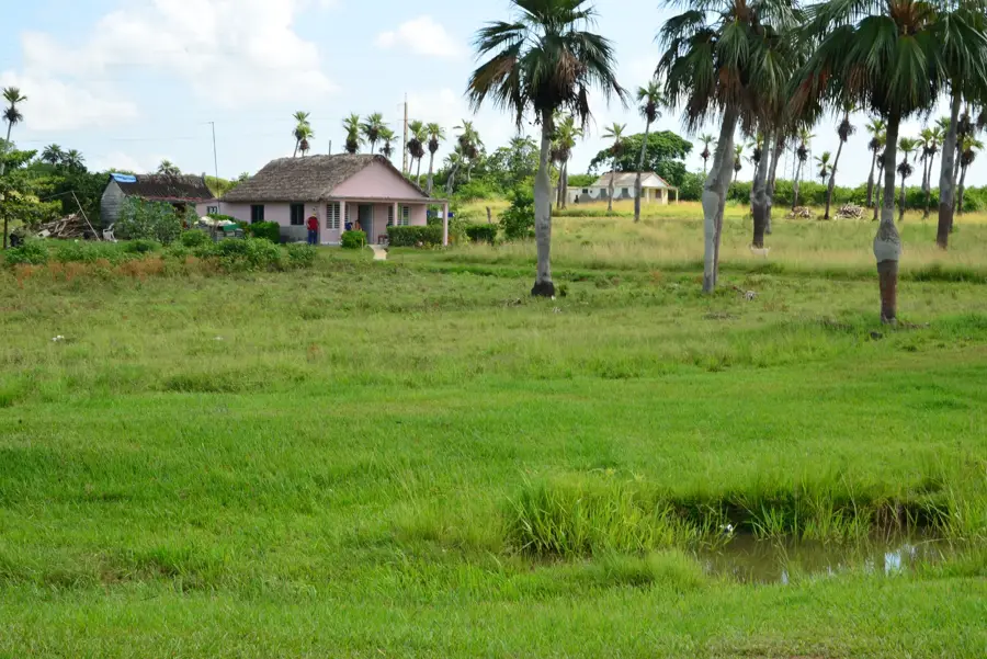
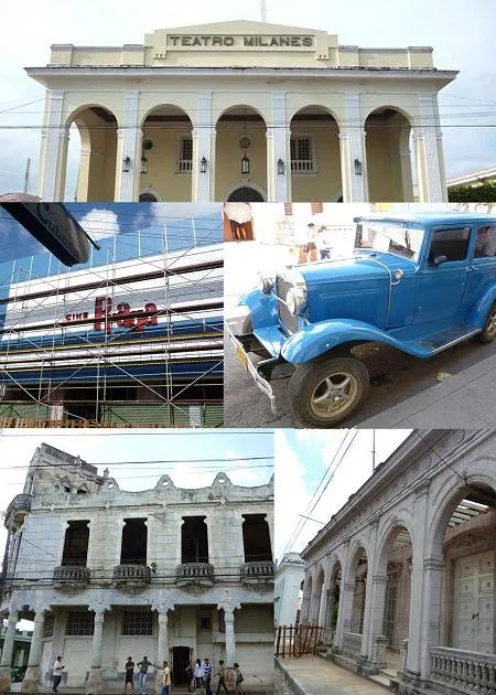
Explore nearby
Notable places around
Route planner — Car & Motorhome
Where do you start? We build the route here, with stops and country notes along the way.
© OpenStreetMap contributors · OpenRouteService
Sights nearby
Frequently asked questions
How high is Pan de Guajaibón?
Why does the mountain have this name?
What can be found on the summit?
How strenuous is the climb?
What kind of view do you get from the top?
Pan de Guajaibón: where is it located?
Pan de Guajaibón: when is the best time to visit?
Pan de Guajaibón: why is it worth visiting?

Nearby cities

History & landmarks
More places