Plizio Visual Lab
Colombia

ℹ️Practical info — Colombia
▾
🌤 Weather — 5 days
📍 Nearby
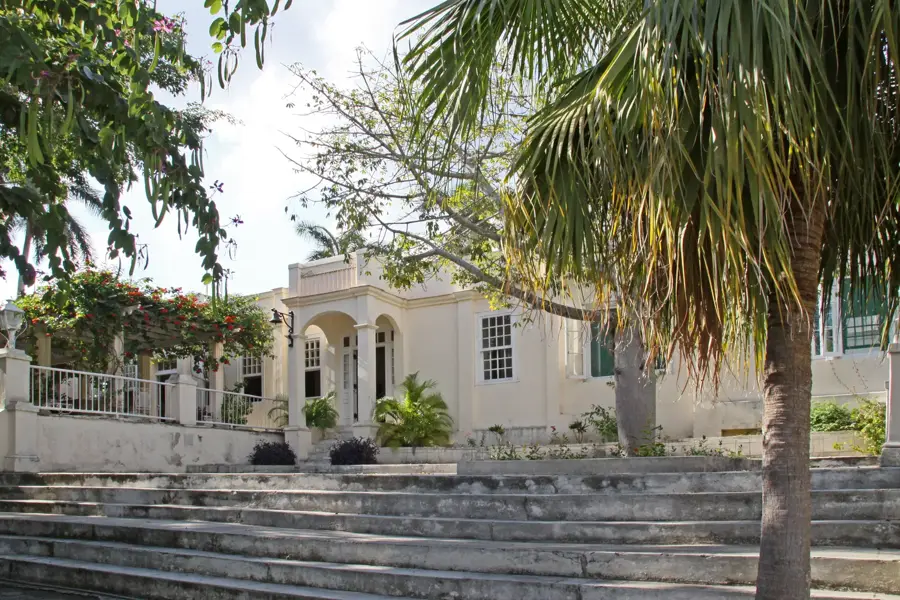
Sights nearby
💡 Tips
- Horse-drawn carriages are still a common mode of transport in this rural town. Watch out for traffic as the roads are shared.
- Bring plenty of cash in local currency, as card payments are virtually nonexistent in this remote area.
- Internet coverage is severely limited. Make use of public Wi-Fi hotspots in the central squares.
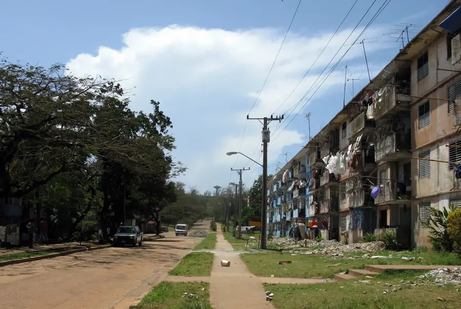
- Do not expect tourist infrastructure. This is a place to experience authentic rural Cuban life.
🍽 Food
Look for small, family-run restaurants (paladares) for authentic Cuban roast pork with rice and beans.
Buy fresh mangoes and bananas directly from stalls along the main roads.
Drink the strong, sweet Cuban coffee often sold in small cups from locals' houses.
🛍 Shopping · 🧘 Quiet spots
This is where locals shop. A great opportunity to see and buy fresh agricultural produce.
Occasionally, you can find artisans selling small wood carvings or simple cigars.
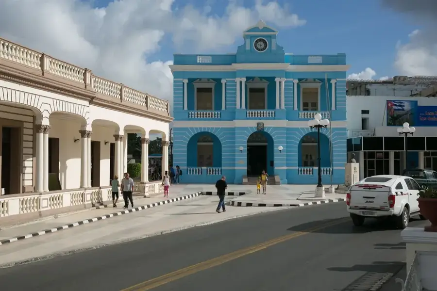
The central square is the heart of the town. Sit on a bench and watch the daily life of the locals.
A short walk from the center takes you right into the quiet sugarcane fields of the province.
Water temperature…
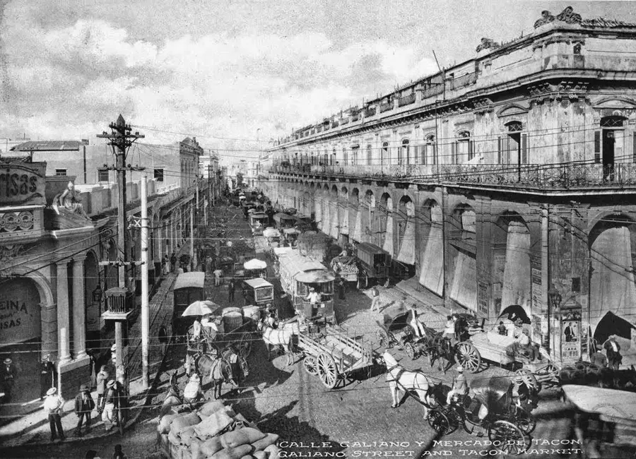
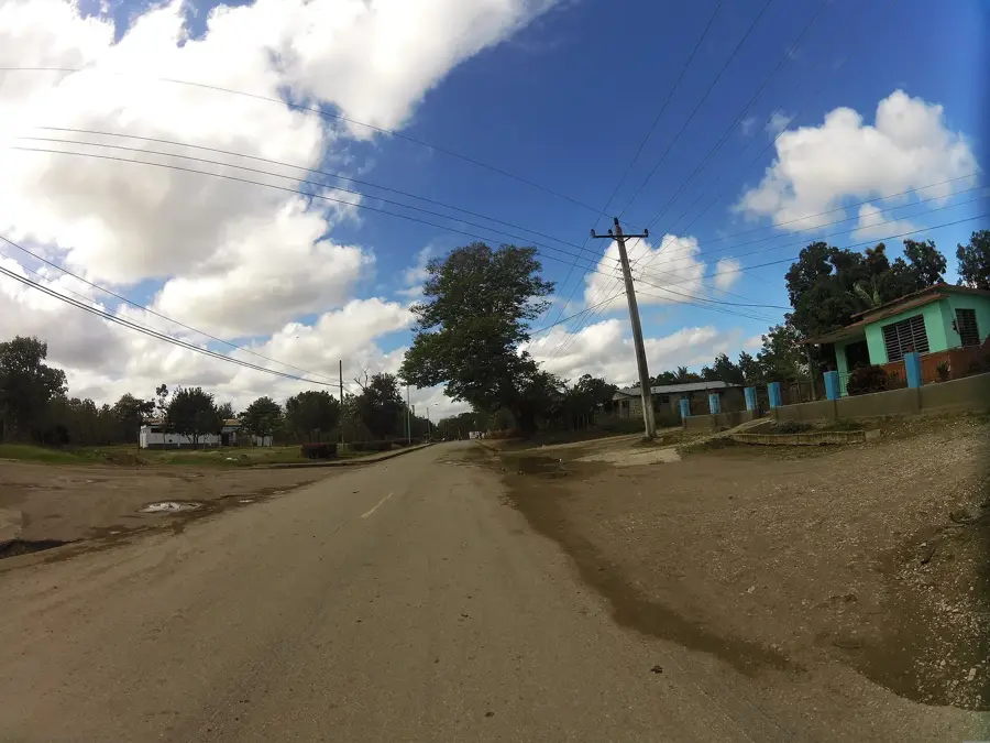
The municipality of Colombia, formerly known as Elia, is located in the southern part of the Las Tunas province in eastern Cuba. Its founding and subsequent growth were fundamentally linked to the sugar industry boom of the early 20th century, driven by significant foreign investments in the region. The centerpiece of the community is the "Colombia" sugar mill, which continues to be one of the most important industrial facilities in the province and a primary driver of the local economy. Geographically, the area consists of vast, flat plains that are almost entirely dedicated to sugarcane cultivation. Following the Cuban Revolution, the town was renamed to honor the South American nation of Colombia. In addition to sugar production, the region has focused on agricultural diversification and livestock farming in recent years. Colombia also acts as a strategic railway hub, facilitating the transportation of agricultural goods throughout the eastern provinces.
- Location: Cuba
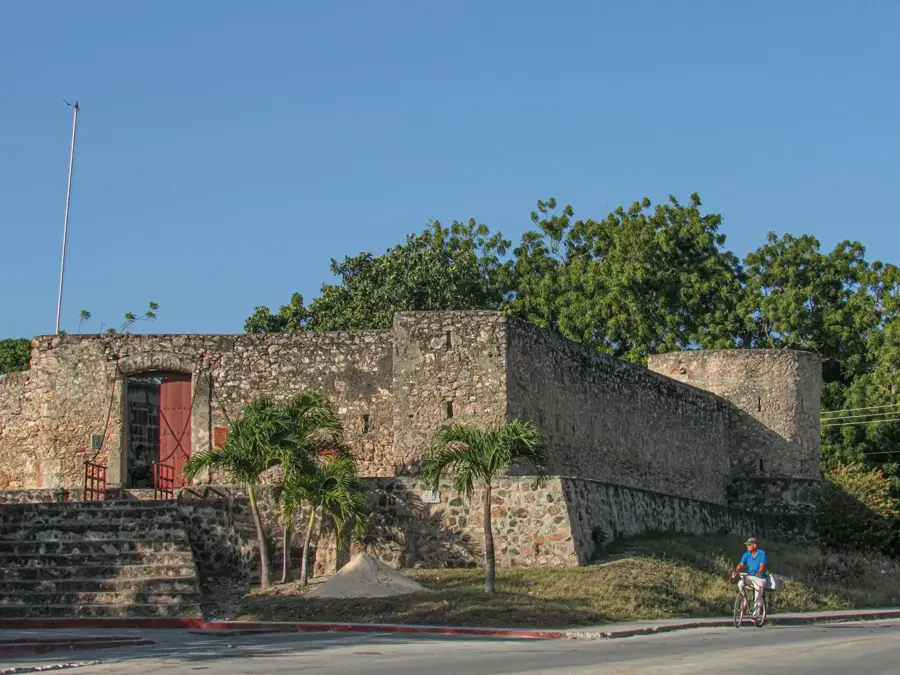
- Top sights: Colombia, Cuba · Communist Party of Cuba
- Nearby: Guáimaro (8 km)
- Population: ~20.096 (2023)
Best time to visit & climate
The most pleasant time to visit is Jan, Feb, Dec.
| Jan | Feb | Mar | Apr | May | Jun | Jul | Aug | Sep | Oct | Nov | Dec | |
|---|---|---|---|---|---|---|---|---|---|---|---|---|
| Avg °C | 24 | 25 | 26 | 27 | 28 | 28 | 29 | 29 | 28 | 27 | 25 | 25 |
| Rain mm | 19 | 22 | 39 | 53 | 138 | 150 | 76 | 119 | 127 | 126 | 46 | 21 |
Geography
Facts
- The municipality covers an area of approximately 563 square kilometers.
- The sugar mill was founded in 1913 under the name Elia Sugar Company.
- The current name 'Colombia' was officially adopted after 1959.
- The town is situated at an average elevation of 45 meters above sea level.
- The region features an extensive narrow-gauge railway network for sugarcane transport.
- Colombia borders the municipality of Guáimaro in Camagüey province to the north.
Explore nearby
Notable places around
Route planner — Car & Motorhome
Where do you start? We build the route here, with stops and country notes along the way.
© OpenStreetMap contributors · OpenRouteService
Sights in the town Colombia (2)
Frequently asked questions
Where is this town located?
What is the main economy?
Are there parks?
How is the climate?
What to eat?
Colombia: where is it located?
Colombia: what is there to see?
Colombia: when is the best time to visit?
Colombia: why is it worth visiting?

Nearby cities

History & landmarks
More places