Plizio Visual Lab
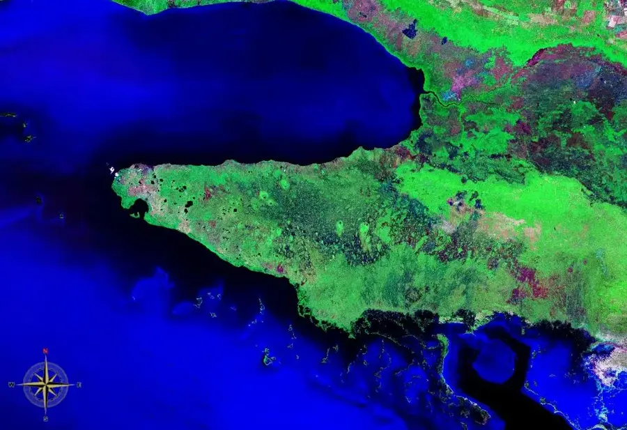
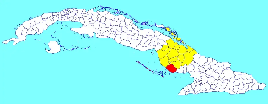
Guanahacabibes Peninsula
Weather…
Water temperature…
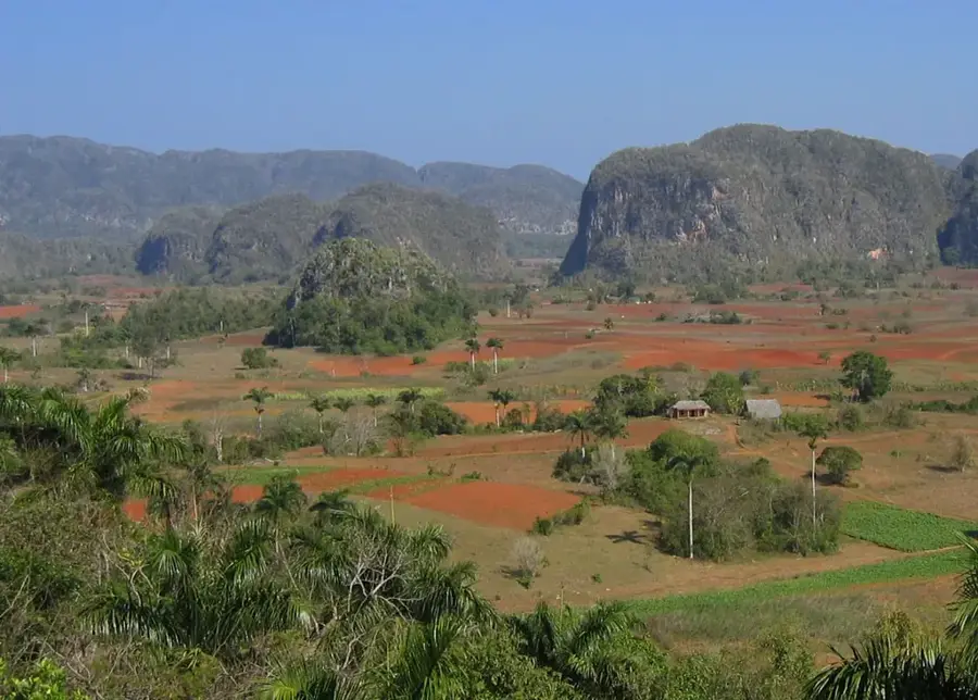
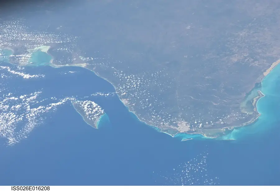
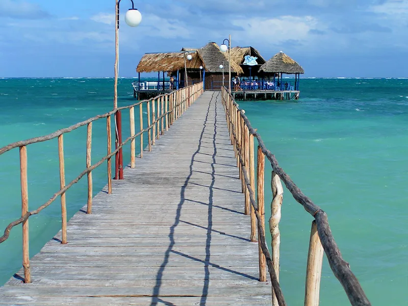
The Guanahacabibes Peninsula forms the westernmost tip of Cuba in the Pinar del Río province and is one of the most pristine environments in the Caribbean. The relief of the peninsula is defined by a low-lying limestone plain rich in karst features such as caves and cenotes. In 1987, the area was designated a UNESCO Biosphere Reserve due to its exceptional biodiversity, including many endemic plant and animal species. The coastline is characterized by untouched sandy beaches and jagged limestone cliffs, bordering some of the healthiest coral reefs in the region. Historically, the peninsula served as one of the last refuges for Cuba's indigenous people fleeing Spanish colonization. At its westernmost point stands the Roncali Lighthouse at Cabo San Antonio, which has guided maritime traffic since the 19th century. Today, the region is a premier destination for ecotourism, particularly attracting scuba divers and birdwatchers from around the world.
- Location: Cuba
- Nearby: María la Gorda (10 km)
Best time to visit & climate
The most pleasant time to visit is Jan, Feb, Dec.
| Jan | Feb | Mar | Apr | May | Jun | Jul | Aug | Sep | Oct | Nov | Dec | |
|---|---|---|---|---|---|---|---|---|---|---|---|---|
| Avg °C | 24 | 25 | 25 | 27 | 28 | 29 | 29 | 30 | 29 | 28 | 26 | 25 |
| Rain mm | 44 | 37 | 29 | 36 | 91 | 159 | 99 | 128 | 143 | 125 | 55 | 34 |
📋 Practical info
Geography
Facts
- The peninsula covers a total area of approximately 1,015 square kilometers.
- The Guanahacabibes National Park was officially established in 2001.
- Four of the world's seven species of sea turtles nest on its beaches.
- The Roncali Lighthouse was completed and lit for the first time in 1849.
- Over 170 species of birds have been recorded throughout the peninsula.
- Geologically, the area is composed almost entirely of Pleistocene limestone.
Explore nearby
Notable places around
Route planner — Car & Motorhome
Where do you start? We build the route here, with stops and country notes along the way.
© OpenStreetMap contributors · OpenRouteService
Sights nearby
Frequently asked questions
What characterizes the Guanahacabibes Peninsula?
Are there beaches there?
What animals can be seen here?
Is access restricted?
What is Cape San Antonio?
Guanahacabibes Peninsula: where is it located?
Guanahacabibes Peninsula: when is the best time to visit?
Guanahacabibes Peninsula: why is it worth visiting?

Nearby cities

History & landmarks
More places