Plizio Visual Lab
Vancouver Island
Weather…
Water temperature…
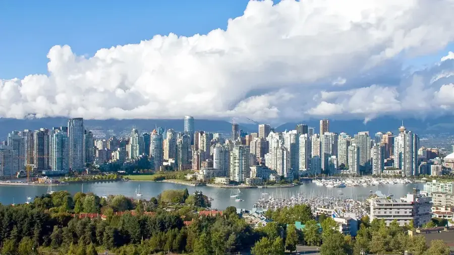
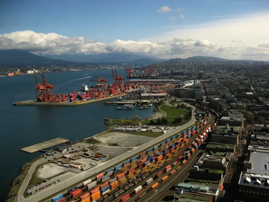
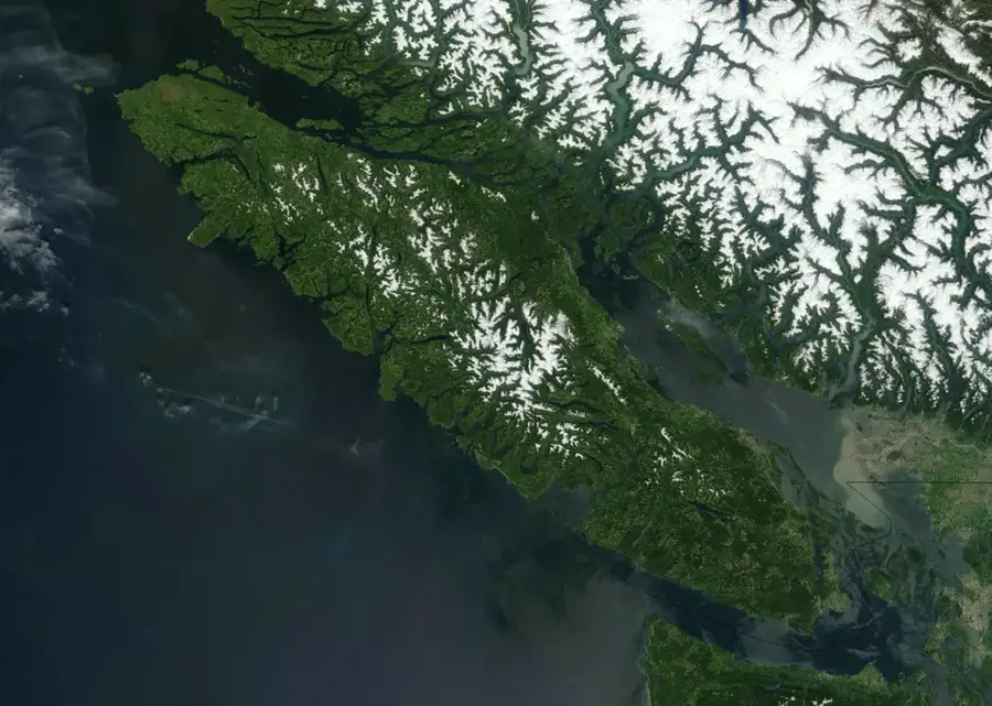
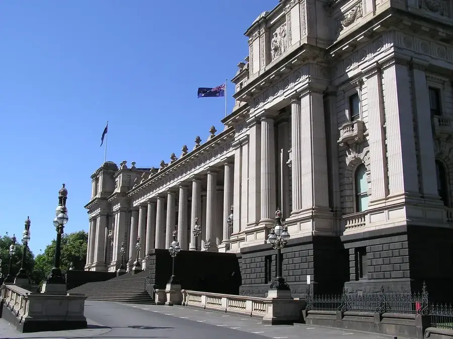
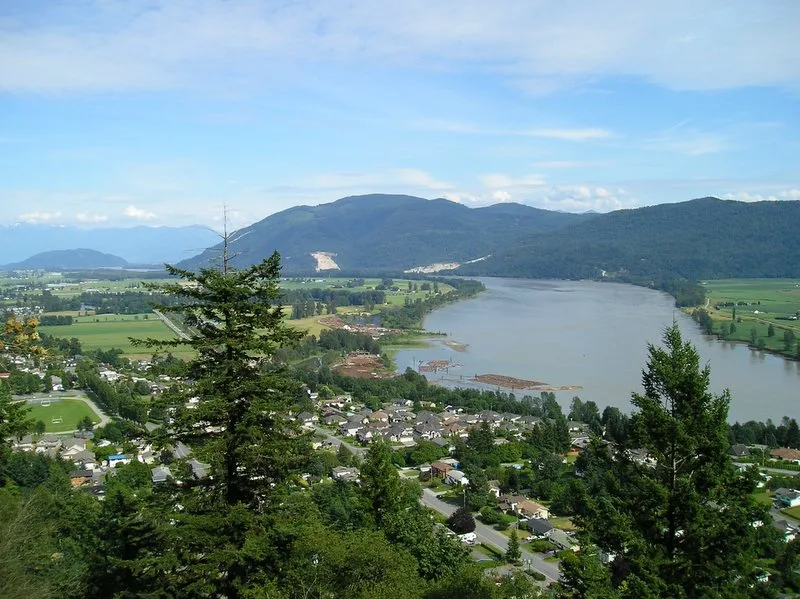
Vancouver Island is located off the west coast of Canada in the province of British Columbia and is the largest island on the Pacific coast of North America. It is renowned for its exceptional biodiversity, ranging from temperate rainforests to alpine tundra regions. In the southern part of the island lies Victoria, the characterful capital of British Columbia, famous for its colonial architecture and the Butchart Gardens. The Pacific Rim National Park Reserve on the west coast attracts surfers and nature enthusiasts alike, offering spectacular views of the open ocean. Geologically, the island is part of an active tectonic system and is characterized by steep mountain ranges in its interior. The indigenous cultures of the Coast Salish, Nuu-chah-nulth, and Kwakwaka'wakw peoples are deeply rooted in the island's history and social fabric. Economically, the island relied on forestry and fishing for decades but has increasingly evolved into a hub for tourism, technology, and education. Its mild climate makes it a popular place to live and a year-round destination for outdoor activities such as whale watching, hiking, and kayaking. Ferry services from Vancouver and Seattle are the primary lifelines for the movement of people and goods.
- Location: Canada
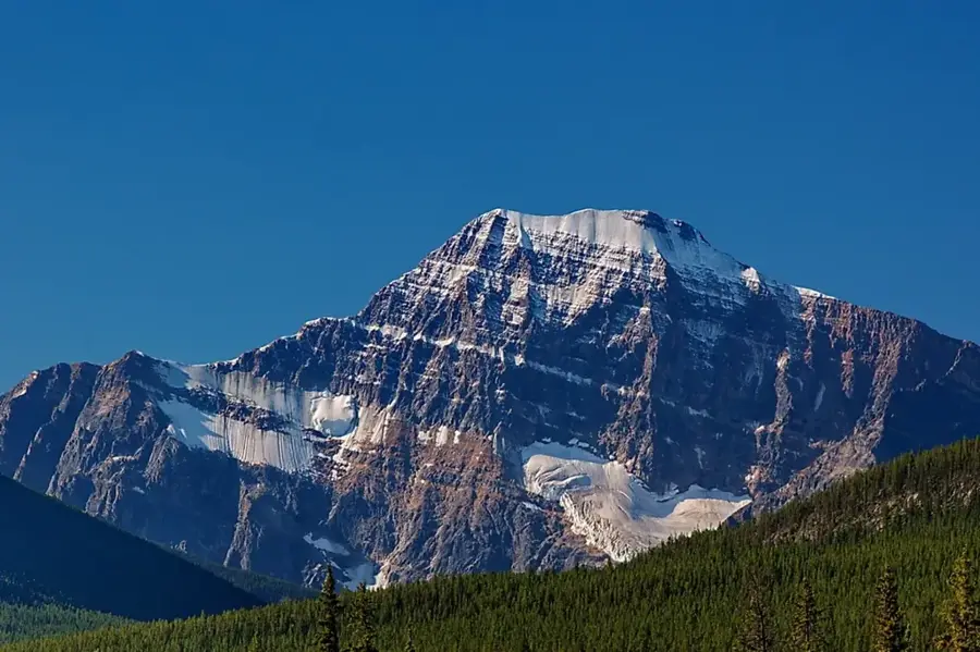
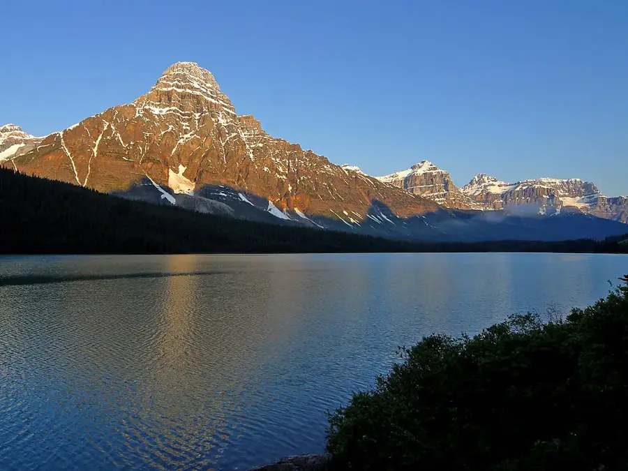
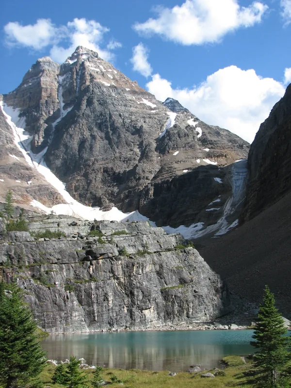
- Top sights: Mount Judson · Horseshoe Mountain · Tyee Mountain
- Nearby: Tofino (56 km)
Best time to visit & climate
The most pleasant time to visit is Jun–Aug.
| Jan | Feb | Mar | Apr | May | Jun | Jul | Aug | Sep | Oct | Nov | Dec | |
|---|---|---|---|---|---|---|---|---|---|---|---|---|
| Avg °C | -1 | -1 | 0 | 3 | 8 | 10 | 13 | 13 | 10 | 6 | 1 | -1 |
| Rain mm | 234 | 133 | 175 | 131 | 90 | 88 | 75 | 73 | 114 | 189 | 251 | 216 |
📋 Practical info
Geography
Facts
- The island covers an area of approximately 31,285 square kilometers.
- Victoria was founded in 1843 as a Hudson's Bay Company trading post.
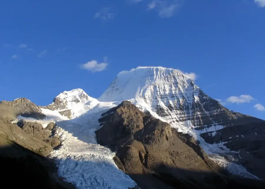
- Golden Hinde is the highest mountain on the island, reaching 2,195 meters.
- Vancouver Island is home to some of Canada's oldest trees, aged over 800 years.
- Strathcona Provincial Park is the oldest provincial park in British Columbia.
- The island is about 460 kilometers long and up to 100 kilometers wide.
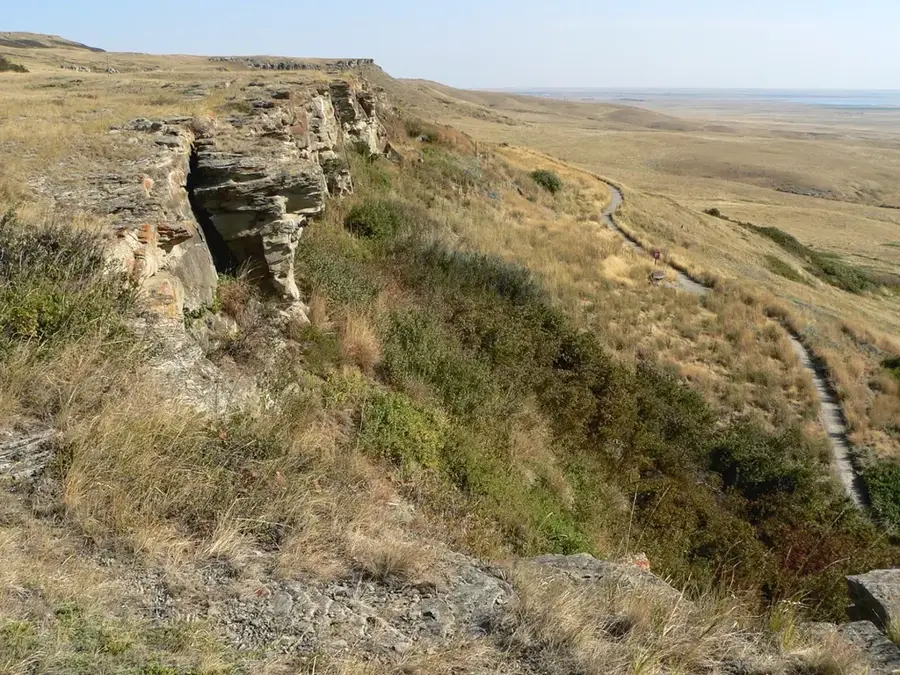
Explore nearby
Notable places around
Route planner — Car & Motorhome
Where do you start? We build the route here, with stops and country notes along the way.
© OpenStreetMap contributors · OpenRouteService
Sights in the town Vancouver Island (4)
Sights nearby
Frequently asked questions
How do you get to the island?
What is the capital city?
Can you go whale watching?
Where is the best surfing?
How big is the island?
Vancouver Island: where is it located?
Vancouver Island: what is there to see?
Vancouver Island: when is the best time to visit?
Vancouver Island: why is it worth visiting?

History & landmarks

Nature
More places