Plizio Visual Lab
Pacific Rim National Park Forest
Weather…
Water temperature…
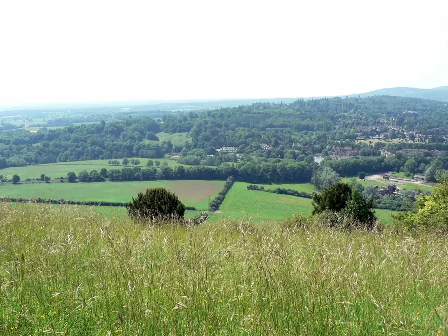
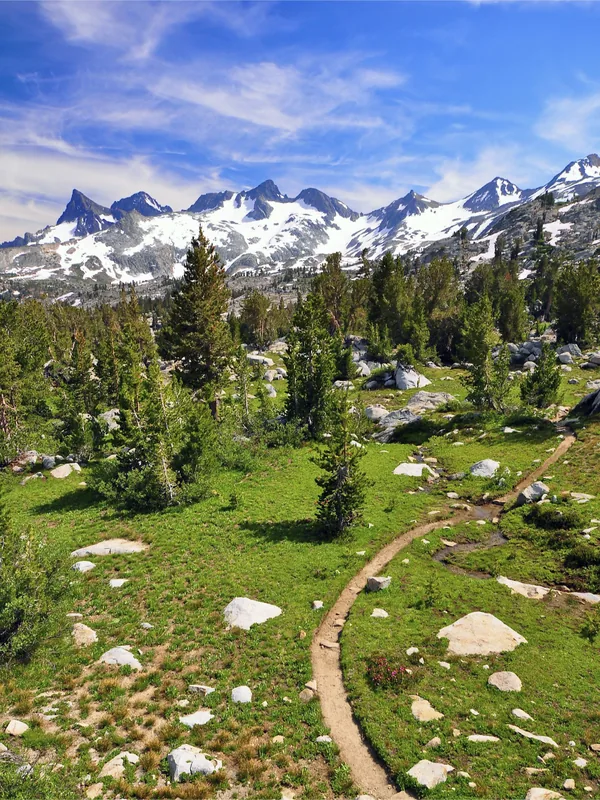
The forest of Pacific Rim National Park Reserve, located on the west coast of Vancouver Island, is a prime example of North America's temperate rainforest. It is dominated by massive Western Red Cedars, Sitka Spruce, and Douglas Firs, many of which are several centuries old. High humidity and heavy rainfall foster a lush growth of mosses, ferns, and epiphytes that blanket the tree trunks and forest floor. The forest extends directly to the edge of the Pacific Ocean, where rugged rocky shores meet vast sandy stretches like Long Beach. Ecologically, this forest is intricately linked to the sea; ocean nutrients, often transported inland by spawning salmon, sustain the entire ecosystem's productivity. Trails such as the Rainforest Trail allow visitors to explore this complex wilderness on raised boardwalks to prevent damage to the sensitive ground layer. The area serves as a critical sanctuary for rare wildlife, including the Marbled Murrelet and various unique amphibians.
- Location: Canada
- Top sights: Canso Bomber Crash Site · Old Radio Building · Radar Hill
- Nearby: Tofino (17 km)
Best time to visit & climate
The most pleasant time to visit is Jun–Aug.
| Jan | Feb | Mar | Apr | May | Jun | Jul | Aug | Sep | Oct | Nov | Dec | |
|---|---|---|---|---|---|---|---|---|---|---|---|---|
| Avg °C | 8 | 7 | 8 | 9 | 11 | 13 | 14 | 15 | 14 | 12 | 9 | 8 |
| Rain mm | 318 | 170 | 213 | 155 | 80 | 74 | 51 | 61 | 115 | 210 | 324 | 286 |
📋 Practical info
Geography
Facts
- The park was established in 1970 as the first national park on Vancouver Island.
- Some of the Western Red Cedars in the forest are over 800 years old.
- The region receives an average annual precipitation of over 3,000 mm.
- The West Coast Trail within the park is a world-renowned 75 km hiking route.
- The park is home to elusive wildlife, including coastal wolves and cougars.
- The park's intertidal zone hosts one of Canada's richest displays of marine life.
Explore nearby
Notable places around
Route planner — Car & Motorhome
Where do you start? We build the route here, with stops and country notes along the way.
© OpenStreetMap contributors · OpenRouteService
Sights in the town Pacific Rim National Park Forest (9)
Sights nearby
Frequently asked questions
What is special about the rainforest here?
Do I need a national park pass?
Can you hike in the forest?
What animals can you see?
Is the forest accessible?
Pacific Rim National Park Forest: where is it located?
Pacific Rim National Park Forest: what is there to see?
Pacific Rim National Park Forest: when is the best time to visit?
Pacific Rim National Park Forest: why is it worth visiting?

Nearby cities