Plizio Visual Lab
Guérin-Kouka
ℹ️Practical info — Guérin-Kouka
▾
🌤 Weather — 5 days
📍 Nearby
Sights nearby
💡 Tips
- Plan your visit around the yam harvest season to see the town at its most lively.
- Local shared taxis (taxi-brousse) are the best way to get here from Kara, but be prepared for crowded rides.
- French is the official language, but learning a few words in Bassar will open doors.
- Carry a dust mask for travel on unpaved roads during the dry Harmattan season.
🍽 Food
Pounded yam, the regional staple, usually served with a rich soup.
Local sorghum beer, best tried in small roadside calabash stalls.
A very popular local meat dish found in basic eateries.
🛍 Shopping · 🧘 Quiet spots
The best place to buy yams, grains, and spices directly from farmers.
Look for traditional pottery and woven baskets around the market.
Walk just outside the town center to see the vast agricultural lands in peace.
Peaceful spots at dawn where you can hear the birds and see the mist over the fields.
Water temperature…
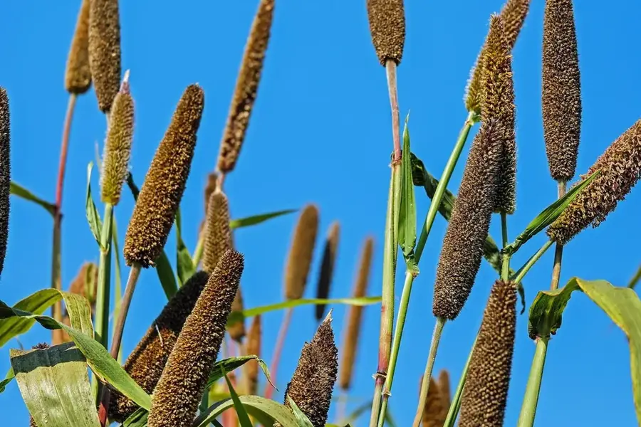
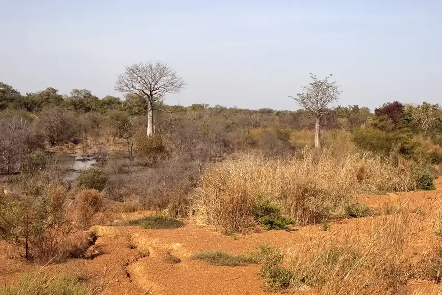
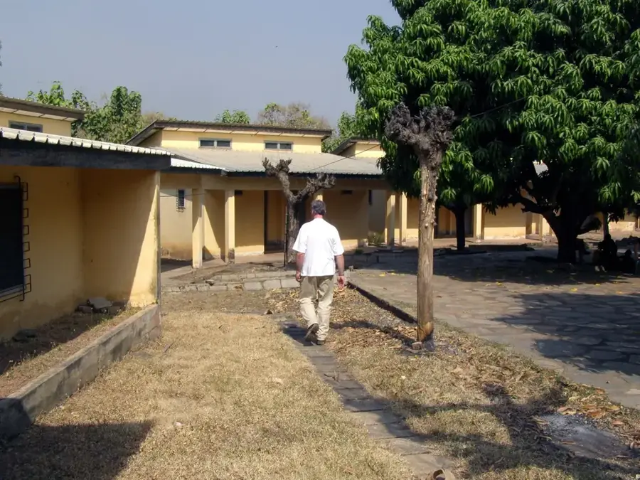
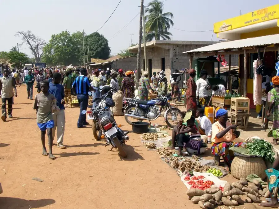
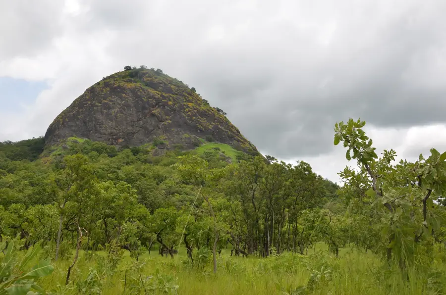
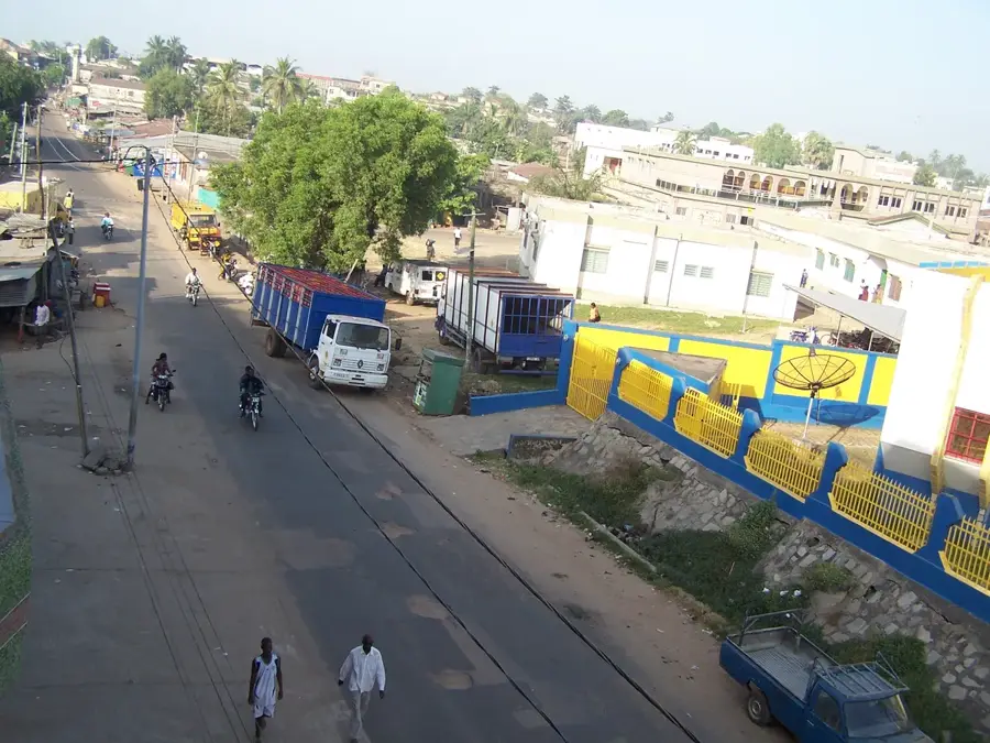
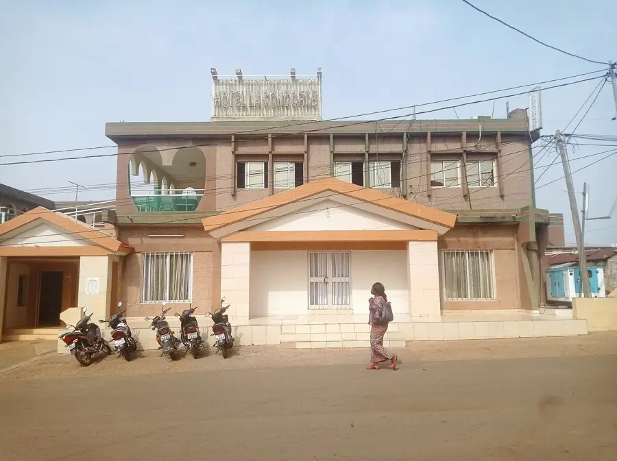
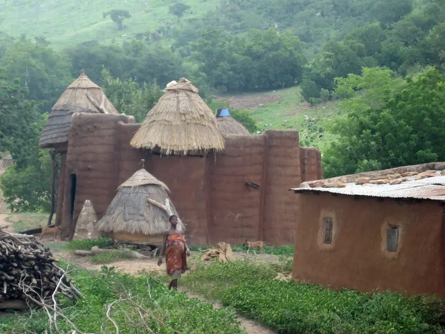
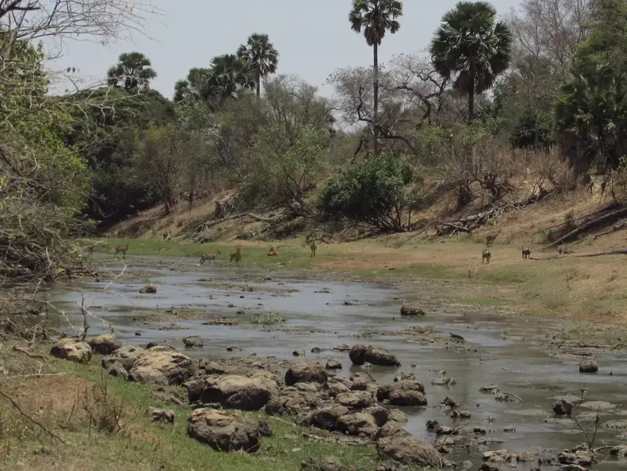
Guérin-Kouka lies in the northwestern Kara Region and is the capital of Dankpen Prefecture, about 100 kilometres west of Kara city. The town received its double name during the French colonial era in honour of the French governor Camille Guérin and is today an important administrative and trading hub for the region. The surroundings of Guérin-Kouka are marked by extensive Sudanian savanna, where baobab and néré trees play a vital role in the local economy. Economically the region is based on the cultivation of yams (it is one of Togo's most important yam-growing areas), millet, sorghum and groundnuts, as well as livestock raising. The population is predominantly Konkomba, a people known for their traditional dances and harvest festivals. The local market is held twice a week and draws traders from neighbouring Ghana, with which the region has close economic and family ties.
- Location: Togo
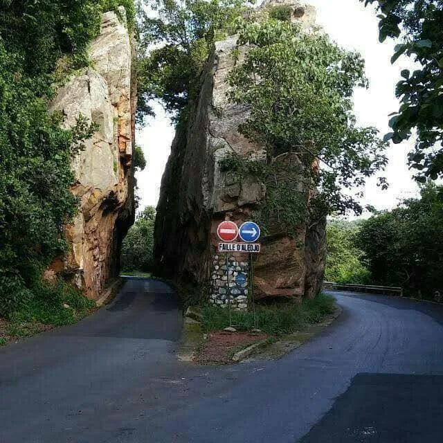
- Top sights: Immoudo · Diampele · Niantoule
- Nearby: Bassar (57 km)
- Population: ~9.570 (2024)
Best time to visit & climate
The most pleasant time to visit is Jan, Nov, Dec.
| Jan | Feb | Mar | Apr | May | Jun | Jul | Aug | Sep | Oct | Nov | Dec | |
|---|---|---|---|---|---|---|---|---|---|---|---|---|
| Avg °C | 26 | 29 | 30 | 29 | 28 | 27 | 26 | 25 | 26 | 26 | 27 | 26 |
| Rain mm | 4 | 10 | 40 | 93 | 128 | 149 | 196 | 209 | 209 | 123 | 12 | 2 |
Geography
Facts
- Main town of the Dankpen Prefecture.
- Cultural center of the Konkomba people.
- Host of the Igniambo (Yam Festival).
- Significant market for the wholesale trade of yams.
- Traditional leadership plays an important social role.
- Landscape consists of vast, fertile savannah plains.
Explore nearby
Notable places around
Route planner — Car & Motorhome
Where do you start? We build the route here, with stops and country notes along the way.
© OpenStreetMap contributors · OpenRouteService
Sights in the town Guérin-Kouka (3)
Frequently asked questions
Time for Guérin-Kouka?
When?
Arrival?
Food?
Safe?
Guérin-Kouka: where is it located?
Guérin-Kouka: what is there to see?
Guérin-Kouka: when is the best time to visit?
Guérin-Kouka: why is it worth visiting?

Nearby cities

History & landmarks
Nature

More places