Plizio Visual Lab
Koutammakou

Weather…
Water temperature…
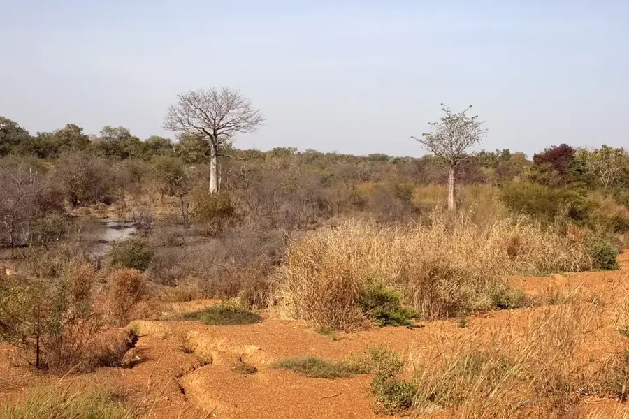
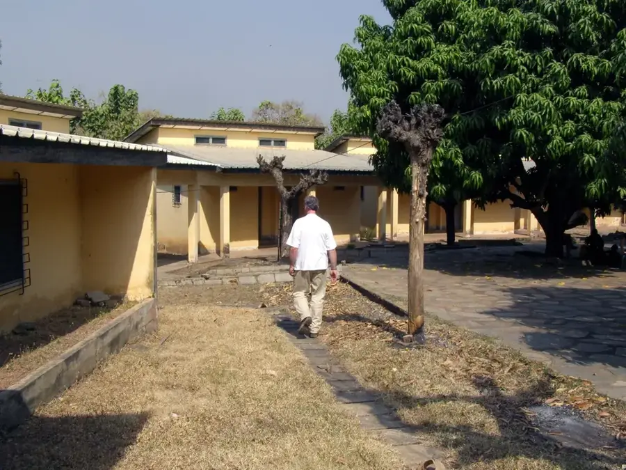
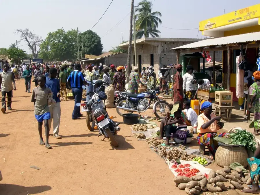
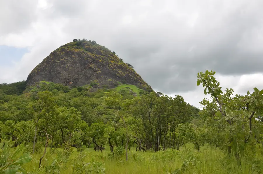
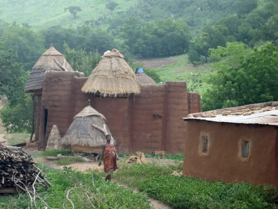
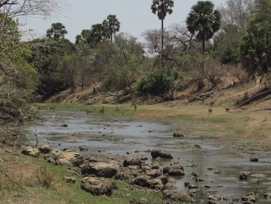
Koutammakou, located in northeastern Togo, is an exceptional cultural landscape that has been a UNESCO World Heritage site since 2004. The area is home to the Batammariba people, whose unique mud tower-house architecture, known as Takienta, is world-renowned. These two-story structures serve not only as dwellings but also hold deep symbolic meaning, closely linked to the community's cosmology and spiritual practices. The Takienta are designed such that the ground floor is used for livestock and ritual purposes, while the upper floors serve as granaries and sleeping areas. The landscape of Koutammakou is a living example of the harmonious relationship between humans and nature, where agricultural lands, sacred groves, and settlement structures form a unified whole. Despite the influence of modernity, the Batammariba people preserve their traditions, building techniques, and social structures with remarkable consistency. The region attracts researchers and cultural tourists seeking to experience authentic African heritage and the impressive craftsmanship of this community.
- Location: Togo
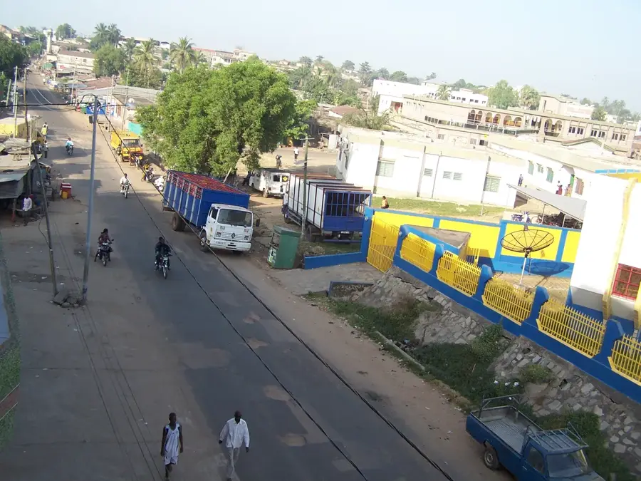
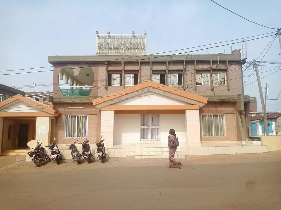
- Nearby: Kandé (12 km)
Best time to visit & climate
The most pleasant time to visit is Jan, Nov, Dec.
| Jan | Feb | Mar | Apr | May | Jun | Jul | Aug | Sep | Oct | Nov | Dec | |
|---|---|---|---|---|---|---|---|---|---|---|---|---|
| Avg °C | 24 | 27 | 30 | 29 | 28 | 26 | 25 | 25 | 25 | 26 | 25 | 24 |
| Rain mm | 2 | 7 | 25 | 83 | 142 | 173 | 236 | 274 | 219 | 107 | 9 | 1 |
📋 Practical info
Geography
Facts
- Inscribed as a UNESCO World Heritage site in 2004
- Takienta are traditional two-story mud tower-houses
- Home to the Batammariba people in the Kara region
- Architecture symbolizes social and spiritual hierarchy
- The houses feature conical roofs made of thatch or mud
- The cultural landscape extends into neighboring Benin
Explore nearby
Notable places around
Route planner — Car & Motorhome
Where do you start? We build the route here, with stops and country notes along the way.
© OpenStreetMap contributors · OpenRouteService
Sights nearby
Frequently asked questions
What is special about Koutammakou?
Do I need a guide?
Is it family-friendly?
How do I get there?
Best time to visit?
Koutammakou: where is it located?
Koutammakou: when is the best time to visit?
Koutammakou: why is it worth visiting?

Nearby cities


History & landmarks
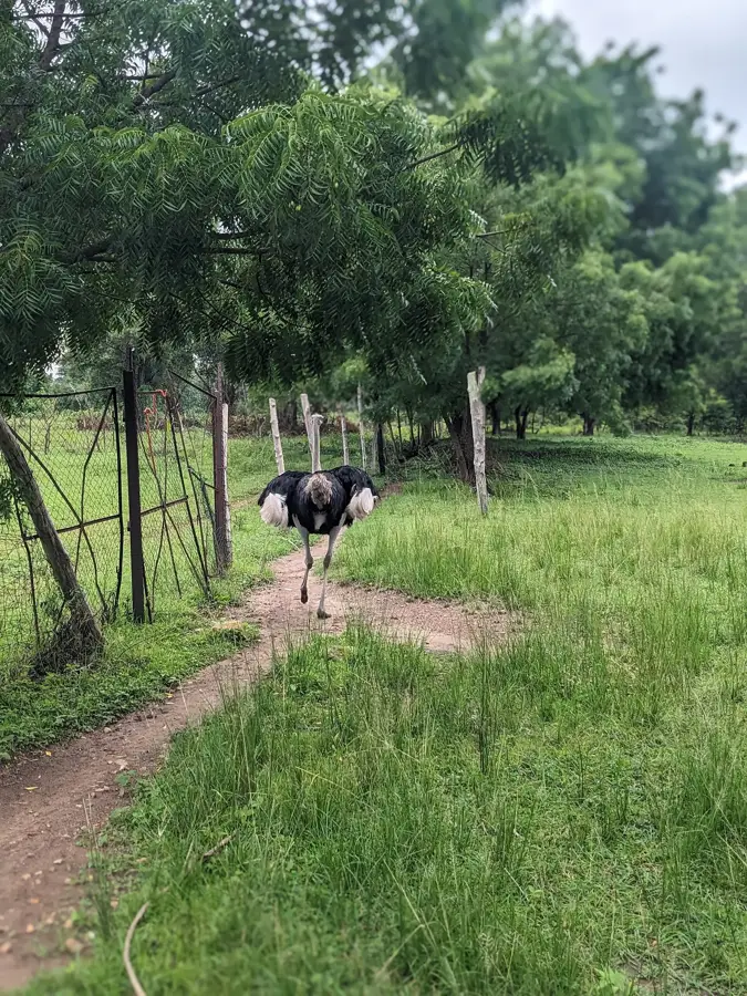
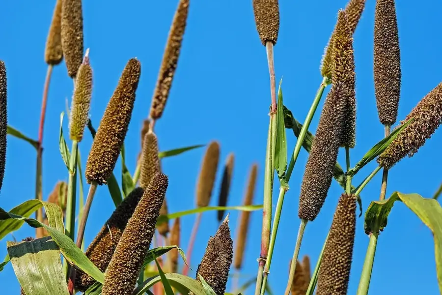
Nature

More places