Plizio Visual Lab
Galangashie Forest

Weather…
Water temperature…
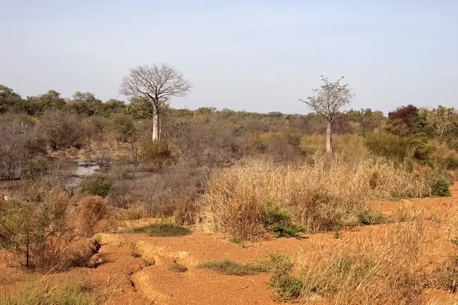
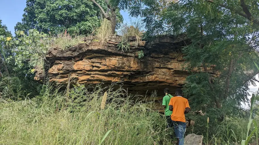
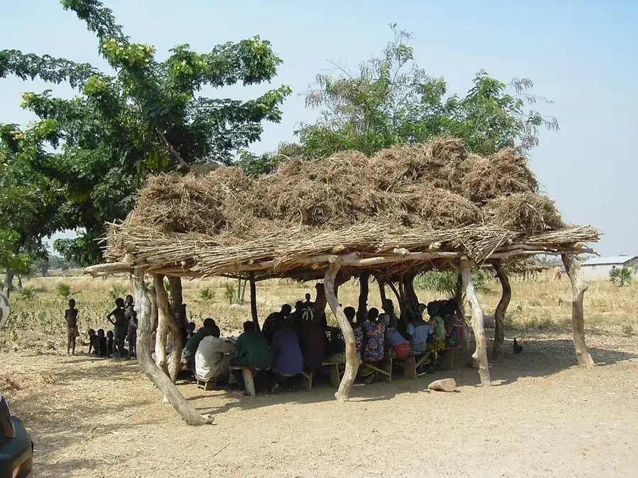
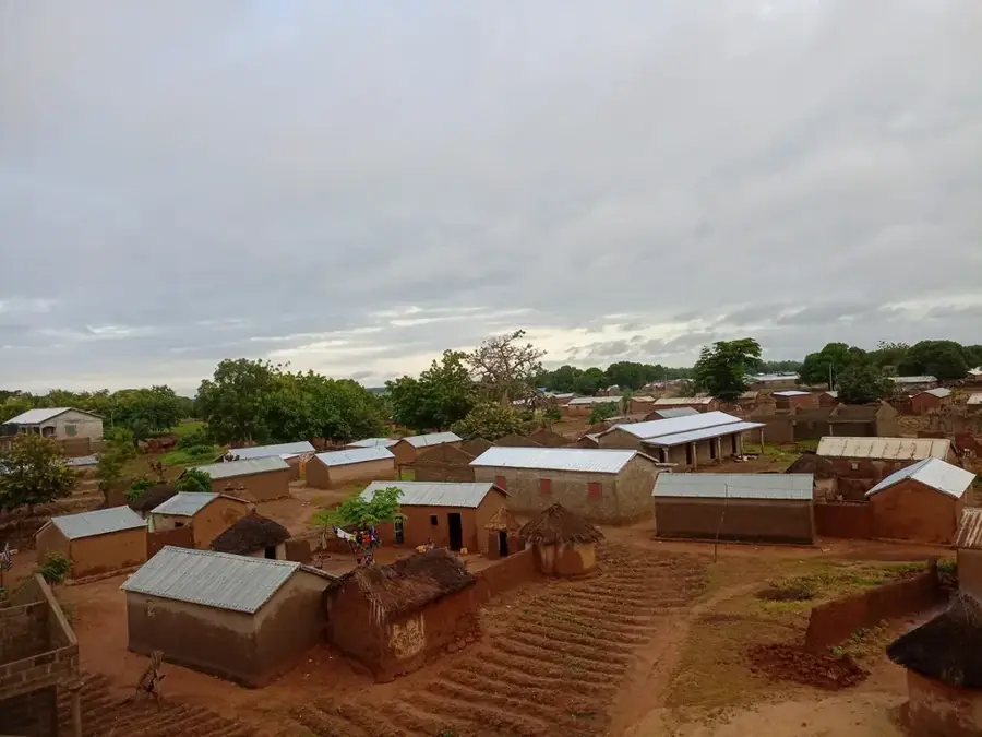
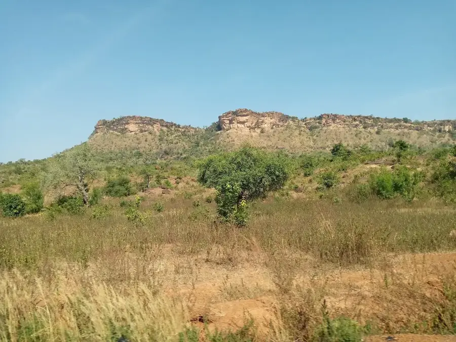
Galangashie Forest in northern Togo is a significant nature conservation area in the Savanes Region, located near the town of Mango. It consists primarily of dry forest and wooded savannah landscapes, which were officially designated as a classified forest (Forêt Classée) in 1954. The area covers approximately 7,500 hectares and serves as a vital ecological corridor for wildlife, particularly elephants migrating between Togo, Ghana, and Benin. The vegetation is characterized by drought-resistant species such as shea trees (karité) and massive baobabs, adapted to long dry seasons. Geologically, the forest is situated in the Oti Basin, a flat sedimentary plain that becomes partially flooded during the rainy season. Despite its importance as a sanctuary, the forest faces pressure from agricultural expansion and firewood extraction. Current conservation efforts focus on restoring the forest structure and promoting sustainable harvesting practices for local communities.
- Location: Togo
- Nearby: Sansanné-Mango (33 km)
Best time to visit & climate
The most pleasant time to visit is Jan, Nov, Dec.
| Jan | Feb | Mar | Apr | May | Jun | Jul | Aug | Sep | Oct | Nov | Dec | |
|---|---|---|---|---|---|---|---|---|---|---|---|---|
| Avg °C | 25 | 29 | 31 | 30 | 29 | 27 | 26 | 26 | 26 | 27 | 27 | 25 |
| Rain mm | 2 | 7 | 29 | 86 | 140 | 178 | 232 | 267 | 225 | 116 | 11 | 1 |
📋 Practical info
Geography
Facts
- The protected area covers approximately 7,500 hectares.
- The forest was officially classified on March 24, 1954.
- It is located within the Oti River drainage basin.
- Elephants use the area as a migration route from Keran National Park.
- Shea trees (Vitellaria paradoxa) are the most economically important trees here.
- The region experiences a long dry season from October to April.
Explore nearby
Notable places around
Route planner — Car & Motorhome
Where do you start? We build the route here, with stops and country notes along the way.
© OpenStreetMap contributors · OpenRouteService
Sights nearby
Frequently asked questions
Why is the Galangashie forest special?
Is it accessible to tourists?
What are the biggest dangers?
Can one camp there?
Should I take a guide?
Galangashie Forest: where is it located?
Galangashie Forest: when is the best time to visit?
Galangashie Forest: why is it worth visiting?

Nearby cities
More places