Plizio Visual Lab
Sanda-Kagbanda

ℹ️Practical info — Sanda-Kagbanda
▾
🌤 Weather — 5 days
📍 Nearby
Sights nearby
💡 Tips
- Visit the market in the early morning (from 7:00 AM) to see the full range of fresh local produce.
- Carry small bills and coins, as market vendors rarely have change for large denominations.
- Haggling is expected and part of the social interaction; feel free to negotiate the first price.
- Look for the pure coconut oil, which is often handmade and sold in its most natural state.
- Take a walk through the surrounding grain and vegetable fields at sunset for a peaceful view.
🍽 Food
A local specialty cow's milk cheese, often sold fried or boiled at the market.
The millet beer here is very fresh and central to the local market day social scene.
Roasted cassava flour often served with peanuts as a popular local quick bite.
🛍 Shopping · 🧘 Quiet spots
A high-quality natural oil produced by local women's cooperatives.
Look for large, yellowish chunks of pure shea butter sold in the market stalls.
The open savanna areas outside the village offer peace and wide horizons.
A shaded spot to sit and quietly observe the local community's daily pace.
Water temperature…
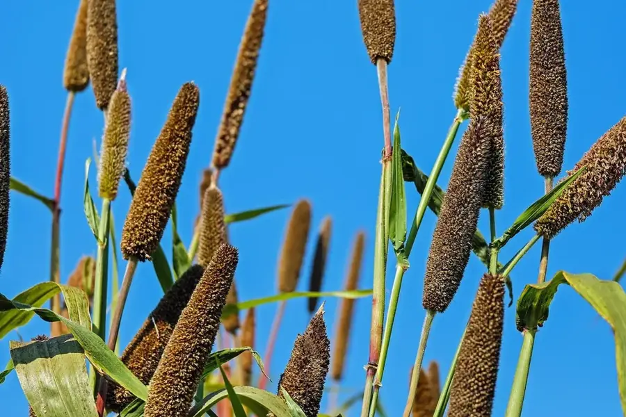
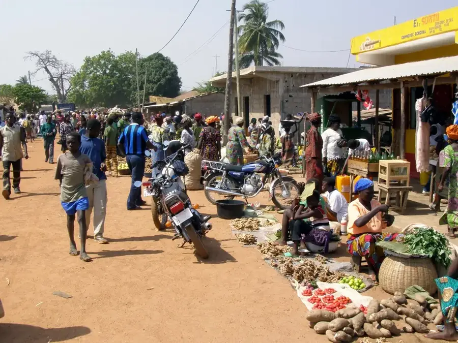
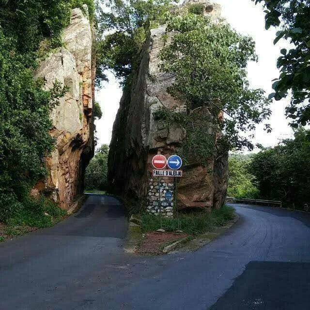
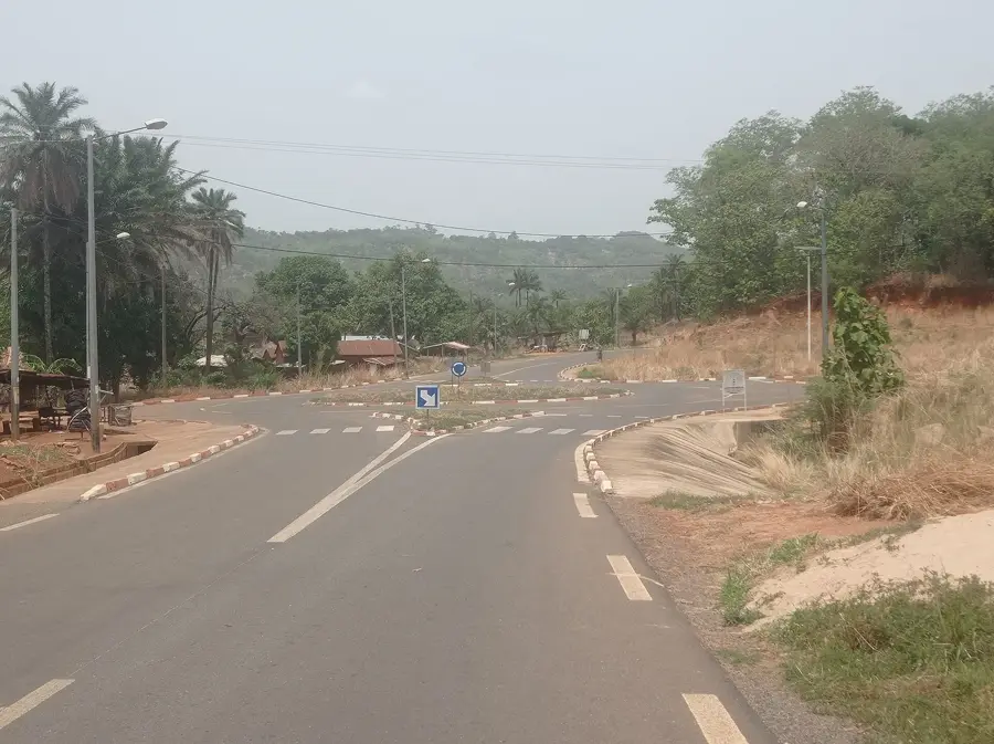
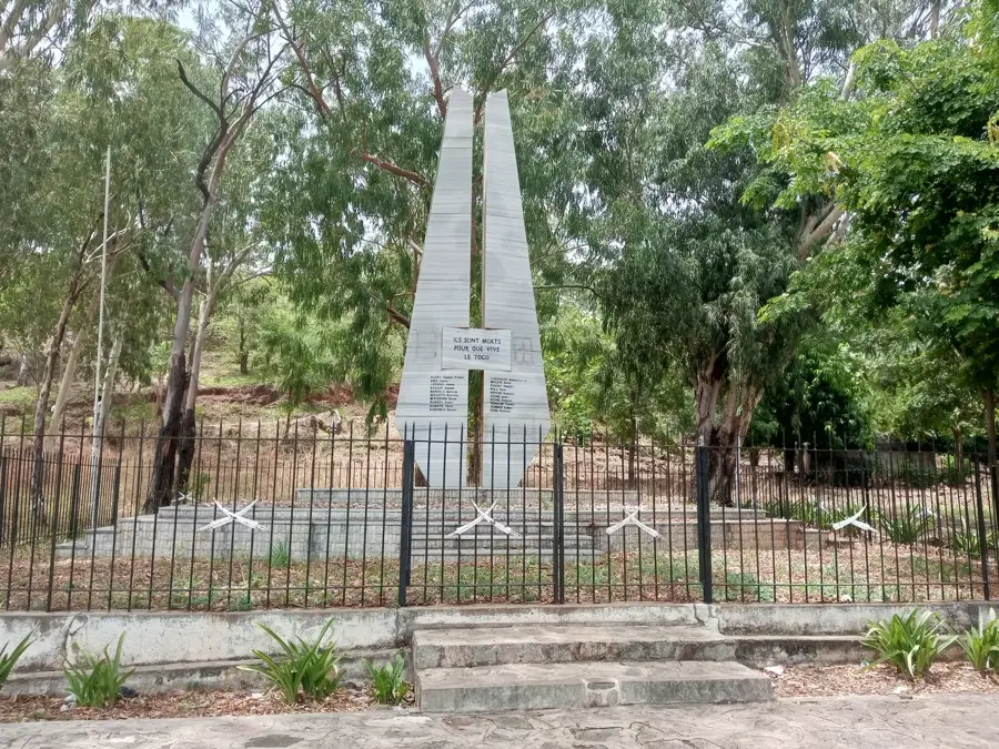
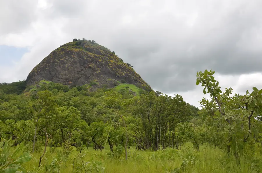
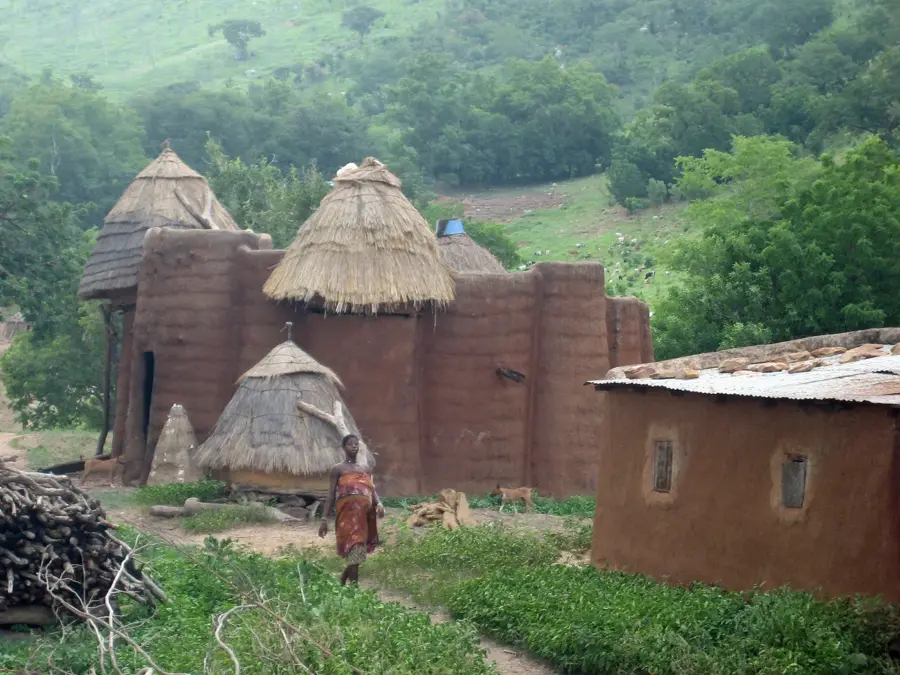
Sanda-Kagbanda lies in Kozah Prefecture, about 15 kilometres northwest of the regional capital Kara, set among the rugged hills of Kabyè country. The town functions as an important local trading hub where farmers from surrounding villages sell their crops: millet, sorghum, maize, yams, beans, and above all the tomatoes and onions grown on irrigated plots along the streams. The market, held twice a week, is famous for the variety of its vegetable offerings, which are then trucked to Kara and Sokodé. The population belongs to the Kabyè ethnic group, whose rich traditional culture is expressed through dances, initiation rites and specially forged iron tools. The region is also known for the strong solidarity structures within its family clans, which ensure communal field labour and mutual aid. The hills hold sacred sites and ancient rock formations of cultural importance.
- Location: Togo
- Nearby: Yadé (8 km)
Best time to visit & climate
The most pleasant time to visit is Jan, Nov, Dec.
| Jan | Feb | Mar | Apr | May | Jun | Jul | Aug | Sep | Oct | Nov | Dec | |
|---|---|---|---|---|---|---|---|---|---|---|---|---|
| Avg °C | 25 | 28 | 29 | 28 | 27 | 26 | 25 | 24 | 25 | 25 | 26 | 25 |
| Rain mm | 4 | 11 | 38 | 89 | 125 | 147 | 197 | 208 | 207 | 118 | 11 | 2 |
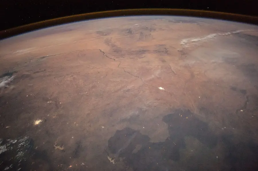
Geography
Facts
- The Bassar region is one of the oldest iron production centers in all of West Africa.
- Sanda-Kagbanda is situated at an elevation of approximately 400 meters in the Kara Region.
- Local Bassar tribes have used charcoal to fuel their traditional furnaces for centuries.
- Agriculture in the vicinity is adapted to the specific tropical savanna climate.
- Archaeological sites nearby date iron production back to at least the 5th century BC.
- The settlement is connected by regional roads to the administrative center of Bassar.
Explore nearby
Notable places around
Route planner — Car & Motorhome
Where do you start? We build the route here, with stops and country notes along the way.
© OpenStreetMap contributors · OpenRouteService
Frequently asked questions
Is Sanda-Kagbanda tourist-friendly?
When is the best time to visit?
Is there water available?
Do I need a visa?
Are there local guides?
Sanda-Kagbanda: where is it located?
Sanda-Kagbanda: when is the best time to visit?
Sanda-Kagbanda: why is it worth visiting?

Nearby cities

History & landmarks

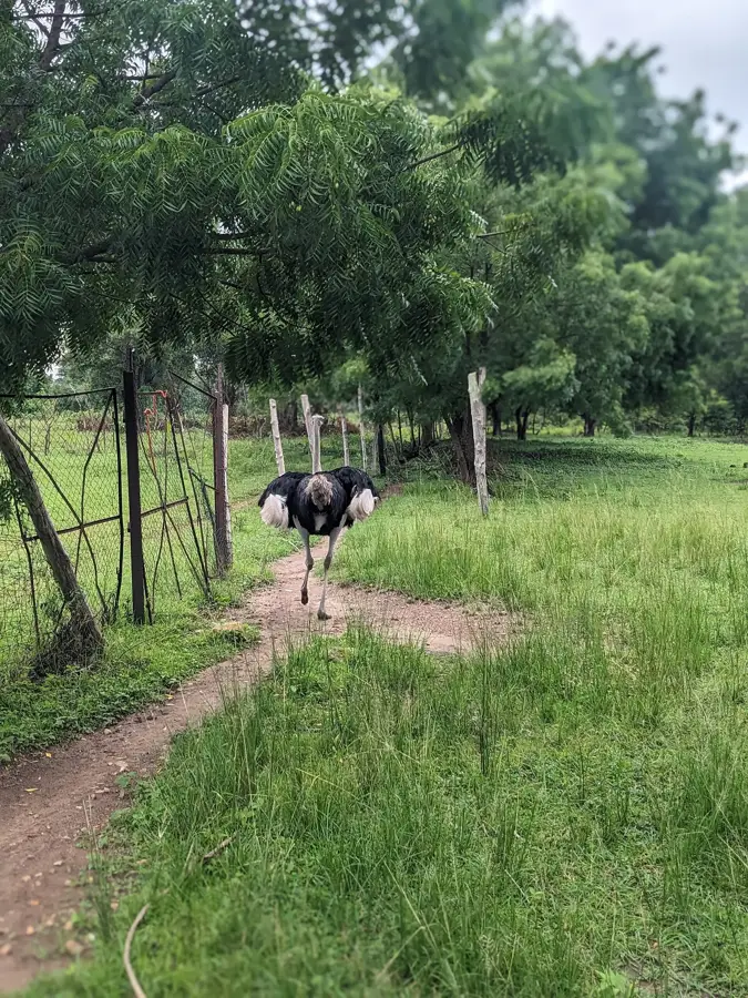
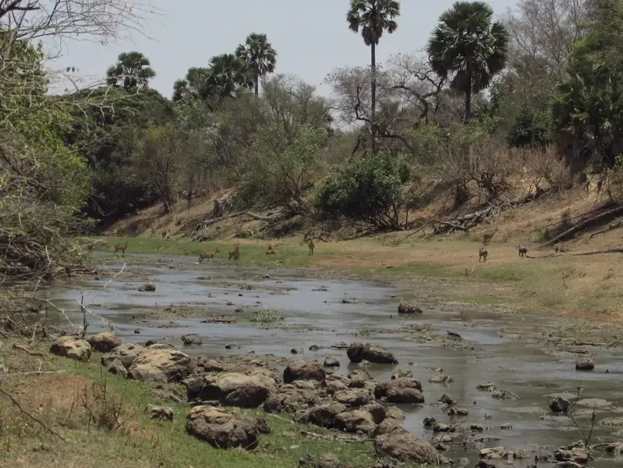
Nature

More places