Plizio Visual Lab
Katire Forest

Weather…
Water temperature…
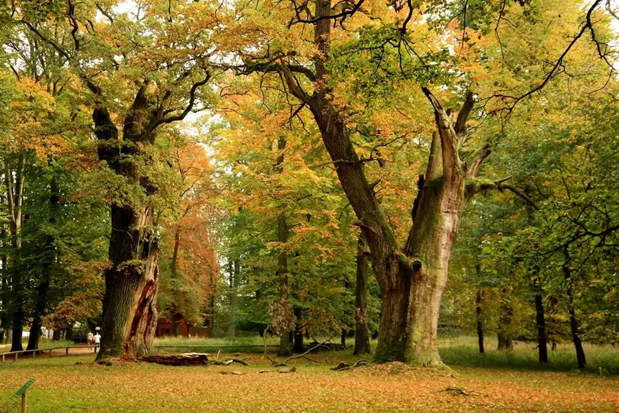
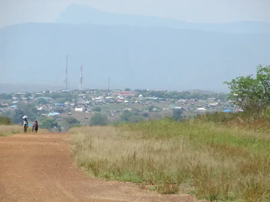
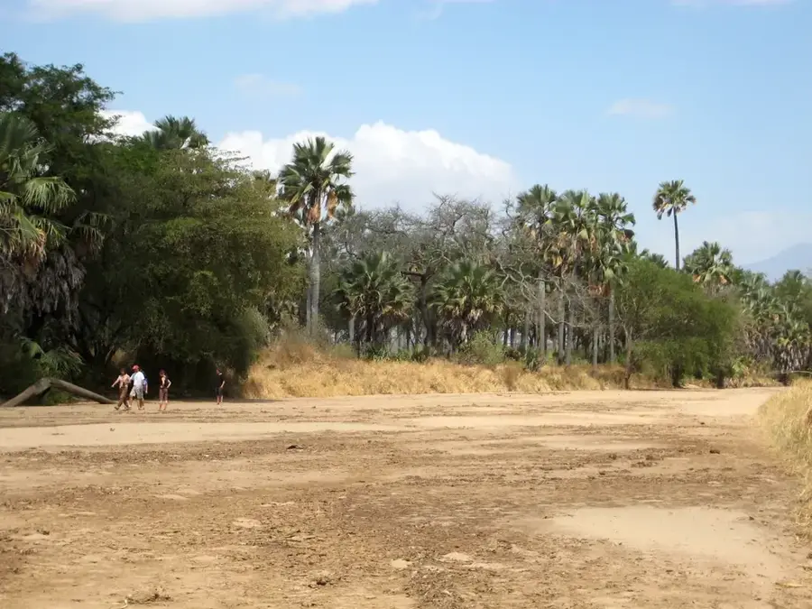
The Katire Forest is situated in the foothills of the Imatong Mountains in Eastern Equatoria state and is historically renowned for its forestry operations. In the 1940s, extensive teak plantations (Tectona grandis) were established here, making Katire a hub for timber production in what was then Sudan. In addition to commercial plantations, the area hosts valuable stands of indigenous mahogany trees and a rich flora typical of the transition zone between savanna and montane forest. The Kinyeti River, which flows through the area, is fed by these forested slopes and serves as a vital water source for the local population. During decades of civil conflict, the infrastructure and forestry management were severely damaged, yet the forest remained largely intact as an ecological resource. Recently, there have been initiatives to reactivate sustainable management and protect the remaining primary forest patches to safeguard the region's biodiversity.
- Location: South Sudan
- Nearby: Imatong Mountains (6 km)
Best time to visit & climate
The most pleasant time to visit is Jan, Nov, Dec.
| Jan | Feb | Mar | Apr | May | Jun | Jul | Aug | Sep | Oct | Nov | Dec | |
|---|---|---|---|---|---|---|---|---|---|---|---|---|
| Avg °C | 26 | 27 | 27 | 26 | 25 | 24 | 23 | 23 | 25 | 24 | 24 | 25 |
| Rain mm | 13 | 14 | 44 | 85 | 118 | 98 | 107 | 118 | 115 | 130 | 64 | 40 |
📋 Practical info
Geography
Facts
- Plantations established in the 1940s
- Center for teak timber production
- Traversed by the Kinyeti River
- Hosts indigenous mahogany stands
- Located at the foot of the Imatong Mountains
- Significant site for ecological research
Explore nearby
Notable places around
Route planner — Car & Motorhome
Where do you start? We build the route here, with stops and country notes along the way.
© OpenStreetMap contributors · OpenRouteService
Sights nearby
Frequently asked questions
Is Katire forest beautiful in spring?
How strenuous is the hike?
Can you spot animals here?
Are dogs allowed?
Is there food service in the forest?
Katire Forest: where is it located?
Katire Forest: when is the best time to visit?
Katire Forest: why is it worth visiting?

Nearby cities
History & landmarks
Nature
More places