Plizio Visual Lab
Nimule

ℹ️Practical info — Nimule
▾
🌤 Weather — 5 days
📍 Nearby
Sights nearby
💡 Tips
- Be prepared for long waits at the border bridge; customs formalities can be time-consuming.
- Visit the Fula Rapids on the White Nile to witness the immense power of the river flow.
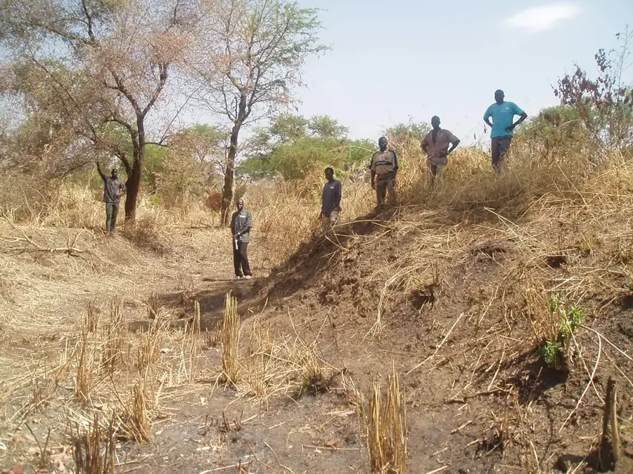
- Only enter Nimule National Park with an official ranger from the Wildlife Service for safety.
- Both South Sudanese Pounds and Ugandan Shillings are widely accepted in local shops.
- Travel on the Juba-Nimule highway only during daylight hours and check current safety advice.
🍽 Food
Freshly caught fish from the Nile, usually grilled at small riverside eateries.
Local fried dough balls, best enjoyed warm from market stalls in the morning.
Roasted goat meat, a specialty found in the eateries near the truck stop areas.
🛍 Shopping · 🧘 Quiet spots
A busy trading spot to buy Ugandan imports, textiles, and household goods.
Find fresh mangoes, bananas, and pineapples grown in the fertile Equatoria region.
Away from the bridge, you can find quiet spots along the river for birdwatching.
Elevated spots at the edge of the national park offer peace and wide views of the savanna.
Water temperature…
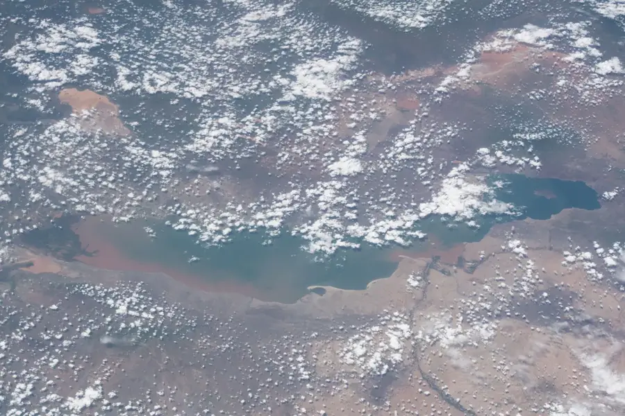
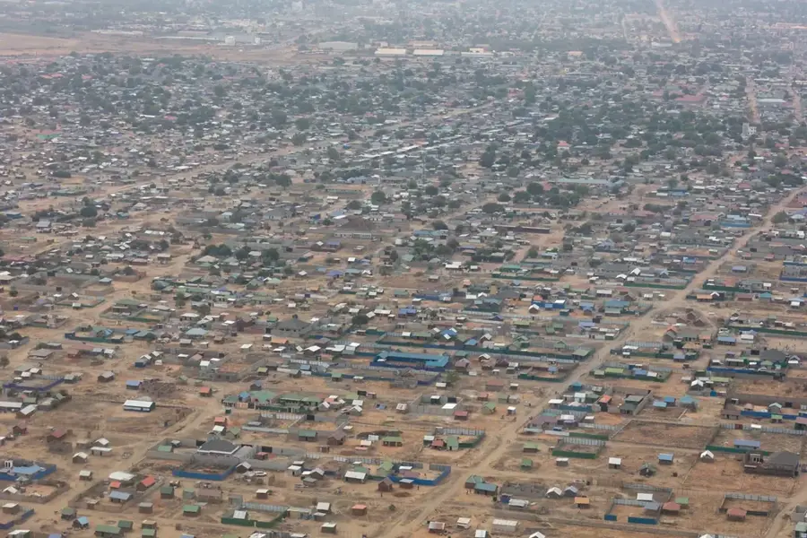
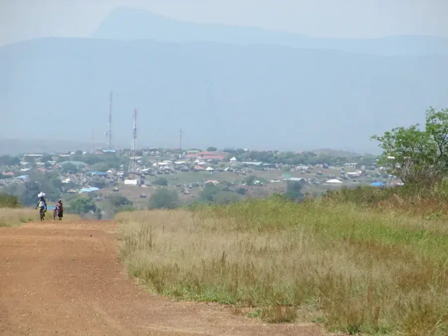
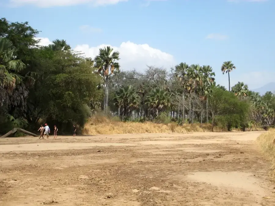
Nimule is a strategically vital border town in Eastern Equatoria State, situated directly on the frontier with Uganda. The city serves as the primary gateway for trade between South Sudan and East Africa, with the majority of imports flowing through its border post toward Juba. Geographically, Nimule is located on the White Nile, just before the river breaks into a series of cataracts known as the Fula Rapids. Adjacent to the town is Nimule National Park, famous for its elephant herds and hippopotami, offering immense potential for ecotourism. Historically, the town was a key junction during the colonial era and a heavily contested site throughout the Sudanese civil wars. The population is ethnically diverse, though the indigenous people are the Madi. Today, Nimule is a bustling transit hub characterized by numerous customs offices, hotels, and logistics centers.
- Location: South Sudan
- Nearby: Fula Rapids (12 km)
Best time to visit & climate
The most pleasant time to visit is Jan, Feb, Dec.
| Jan | Feb | Mar | Apr | May | Jun | Jul | Aug | Sep | Oct | Nov | Dec | |
|---|---|---|---|---|---|---|---|---|---|---|---|---|
| Avg °C | 29 | 30 | 30 | 28 | 26 | 25 | 25 | 24 | 25 | 26 | 26 | 27 |
| Rain mm | 11 | 11 | 48 | 107 | 146 | 117 | 126 | 155 | 145 | 167 | 94 | 70 |
Geography
Facts
- Nimule is situated at an elevation of about 650 meters along the Nile.
- Nimule National Park was established as early as 1946.
- The town is the terminus of the paved highway originating from Juba.
- The border crossing into Uganda (Elegu) is the busiest in the country.
- The Fula Rapids present significant potential for hydroelectric power.
- The distance to the capital city, Juba, is approximately 192 kilometers.
Explore nearby
Notable places around
Route planner — Car & Motorhome
Where do you start? We build the route here, with stops and country notes along the way.
© OpenStreetMap contributors · OpenRouteService
Frequently asked questions
What makes Nimule special?
Are there accommodations in Nimule?
What is the weather like in Nimule?
Can you visit Nimule National Park from the city?
What transportation is available locally?
Nimule: where is it located?
Nimule: when is the best time to visit?
Nimule: why is it worth visiting?

Nearby cities
History & landmarks
Nature
More places