Plizio Visual Lab
Kapoeta
ℹ️Practical info — Kapoeta
▾
🌤 Weather — 5 days
📍 Nearby
Sights nearby
💡 Tips
- Travel here is often by air from Juba; overland travel requires strictly up-to-date security information.
- The town is a cultural center for the Toposa people; respect their traditional dress and customs.
- Photography is highly sensitive; strictly ask for permission and expect to pay a small fee.
- Bring sufficient cash (US Dollars or South Sudanese Pounds) as banking facilities are scarce.
🍽 Food
A traditional porridge made from sorghum, often the main staple in local households.
Find freshly grilled goat meat at simple roadside stalls in the center.
Enjoy the heavily sweetened and spiced tea that is an important part of socializing.
🛍 Shopping · 🧘 Quiet spots
Beautiful, handcrafted bead jewelry sold by the local women.
Gold dust is traded here, but as a tourist, stick to buying craft souvenirs.
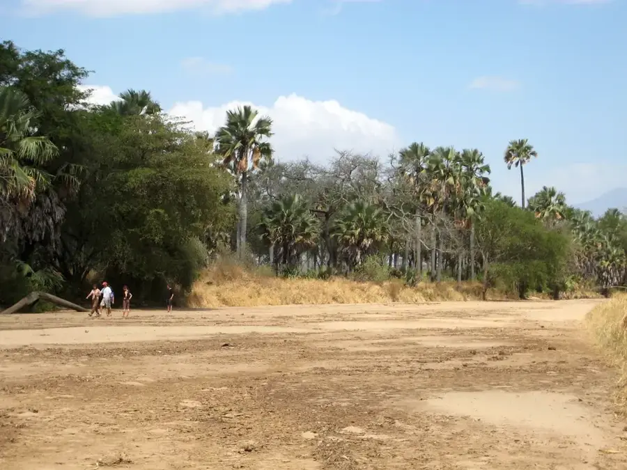
Walking along the sandy riverbeds on the outskirts gives a raw, peaceful landscape.
If accessible, the grounds of international organizations often provide shaded, quiet areas.
Water temperature…
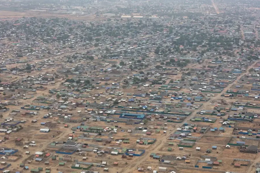
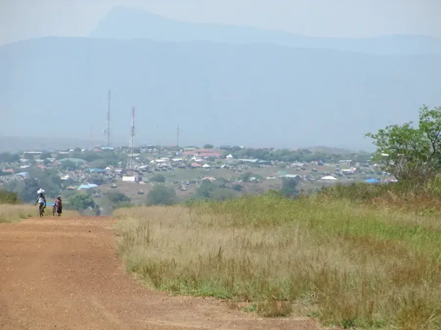
Kapoeta is a town in Eastern Equatoria State, located in the far southeastern region of South Sudan. It is situated in an arid savanna zone famous for its wealth of mineral resources, particularly gold. Artisanal gold mining characterizes the economic life of the region, attracting traders from neighboring countries. Geographically, the town is traversed by the Singaita River, which often dries up during the peak of the dry season. Kapoeta is the cultural heartland of the Toposa people, whose nomadic lifestyle and traditional attire define the town's identity. Historically, the town served as a strategic garrison city during the Second Sudanese Civil War. Today, Kapoeta benefits from its location along the main road toward Kenya (the Lamu corridor), making it a significant hub for cross-border trade. The town serves as the administrative center for the surrounding county and hosts key regional markets.
- Location: South Sudan
- Top sights: Kapoeta South County · Singaita River
- Population: ~7.042 (2020)
Best time to visit & climate
The most pleasant time to visit is Jan, Jun, Nov.
| Jan | Feb | Mar | Apr | May | Jun | Jul | Aug | Sep | Oct | Nov | Dec | |
|---|---|---|---|---|---|---|---|---|---|---|---|---|
| Avg °C | 29 | 31 | 31 | 29 | 28 | 28 | 27 | 27 | 28 | 28 | 27 | 28 |
| Rain mm | 13 | 10 | 40 | 72 | 73 | 61 | 75 | 77 | 65 | 89 | 64 | 58 |
Geography
Facts
- Kapoeta is situated at an elevation of roughly 670 meters above sea level.
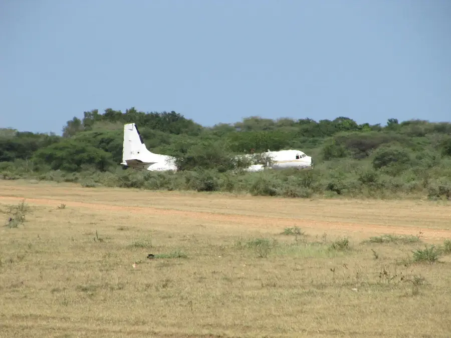
- The town features Kapoeta Airport (IATA: NPE) for domestic flights.
- Gold in the region is mostly extracted using traditional panning methods.
- The town is located about 275 kilometers southeast of Juba.
- Kapoeta was the capital of the short-lived Namorunyang State from 2015 to 2020.
- The climate is semi-arid with high average temperatures year-round.
Explore nearby
Notable places around
Route planner — Car & Motorhome
Where do you start? We build the route here, with stops and country notes along the way.
© OpenStreetMap contributors · OpenRouteService
Sights in the town Kapoeta (2)
Frequently asked questions
What is special about Kapoeta?
Is Kapoeta safe for tourists?
What can you do in Kapoeta?
How to get to Kapoeta?
Are there restaurants?
Kapoeta: where is it located?
Kapoeta: what is there to see?
Kapoeta: when is the best time to visit?
Kapoeta: why is it worth visiting?

Nearby cities
History & landmarks
Nature
More places