Plizio Visual Lab
Imatong Mountains

Weather…
Water temperature…
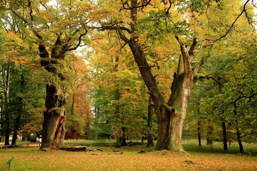
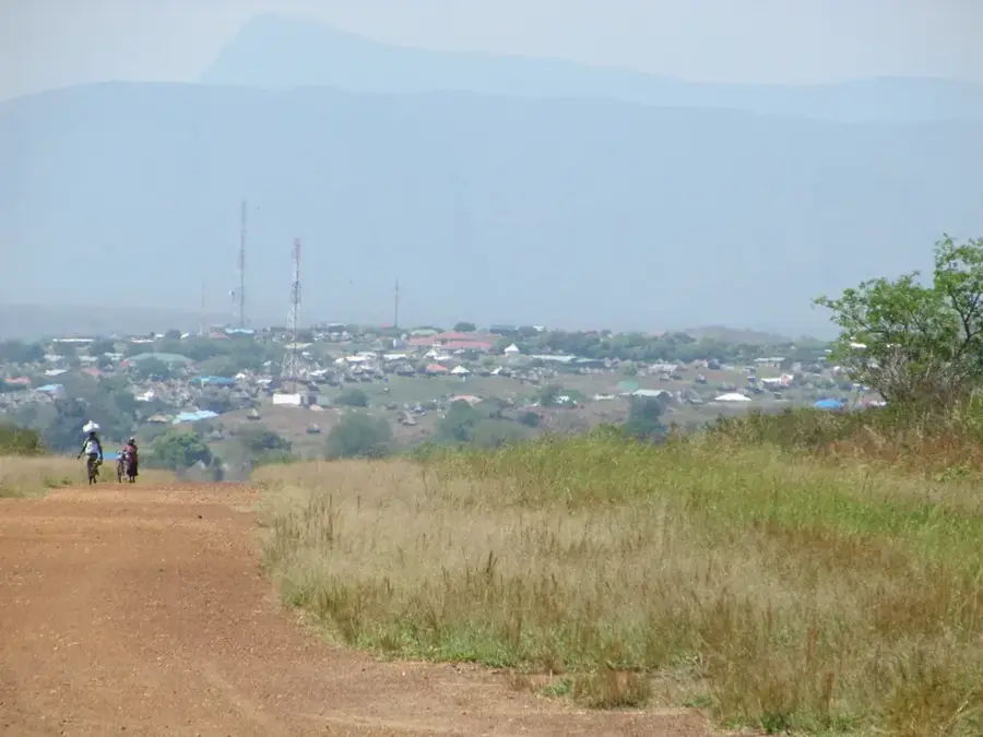
The Imatong Mountains are situated in southeastern South Sudan, extending across the border into Uganda, and contain Mount Kinyeti, the country's highest peak at 3,187 meters. The region is defined by its dramatic relief and distinct vertical vegetation zones, ranging from dense tropical rainforests in the foothills to Afro-alpine moorlands near the summits. Geologically, the range is composed of ancient crystalline basement rocks that have been shaped by tectonic uplift and continuous erosion. Historically, these rugged highlands provided strategic cover during the Sudanese civil wars, though this period saw significant pressure on the local wildlife populations. Today, the mountains are recognized as a critical biodiversity hotspot, hosting numerous endemic plant species and rare avian life such as the spotted ground thrush. With annual rainfall exceeding 1,500 mm, the Imatongs serve as a vital water catchment area for the arid lowlands that surround the massif.
- Location: South Sudan
- Nearby: Imatong Mountains (19 km)
Best time to visit & climate
The most pleasant time to visit is Jan, Nov, Dec.
| Jan | Feb | Mar | Apr | May | Jun | Jul | Aug | Sep | Oct | Nov | Dec | |
|---|---|---|---|---|---|---|---|---|---|---|---|---|
| Avg °C | 26 | 27 | 27 | 26 | 25 | 24 | 23 | 23 | 25 | 24 | 24 | 25 |
| Rain mm | 13 | 14 | 44 | 85 | 118 | 98 | 107 | 118 | 115 | 130 | 64 | 40 |
📋 Practical info
Geography
Facts
- Mount Kinyeti stands at 3,187 meters, making it the highest point in South Sudan.
- Annual rainfall in the higher elevations often exceeds 1,500 millimeters.
- The range is home to the Imatong Central Forest Reserve, established for conservation.
- Geologically, the mountains consist primarily of Precambrian gneiss and granite.
- Scientists have documented over 2,000 different plant species within the range.
- The mountains serve as a primary source for several tributaries of the White Nile.
Explore nearby
Notable places around
Route planner — Car & Motorhome
Where do you start? We build the route here, with stops and country notes along the way.
© OpenStreetMap contributors · OpenRouteService
Sights nearby
Frequently asked questions
What makes the Imatong Mountains special?
Can you hike here?
Is there accommodation nearby?
How is the weather in the mountains?
Do you need to obtain a permit?
Imatong Mountains: where is it located?
Imatong Mountains: when is the best time to visit?
Imatong Mountains: why is it worth visiting?

Nearby cities
History & landmarks
Nature
More places