Plizio Visual Lab
Dongotona Mountains

Weather…
Water temperature…
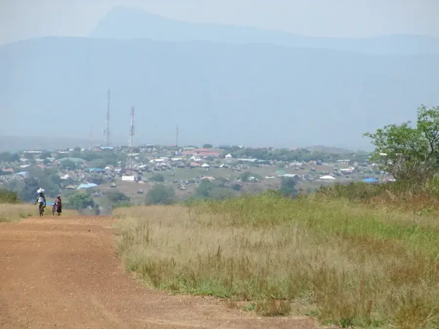
The Dongotona Mountains are a major mountain massif located in Eastern Equatoria State, southeast of Torit in South Sudan. Part of the broader Imatong mountain system, they are characterized by rugged peaks and deep, dramatic gorges that dominate the regional landscape. With elevations exceeding 2,500 meters, the range acts as a significant watershed, collecting atmospheric moisture and feeding numerous perennial streams. Geologically, the Dongotona Mountains consist of ancient Precambrian basement rocks that were uplifted during significant tectonic events in East Africa's history. The range features diverse ecological zones, from dense montane forests on the lower slopes to afro-alpine vegetation near the summits. Local communities engage in subsistence farming in the fertile foothills, while the higher elevations remain largely inaccessible and pristine. Although biologically rich and scenically memorable, the area has remained largely unexplored due to its remote location and past regional instability, preserving its status as a critical biodiversity hotspot.
- Location: South Sudan
- Nearby: Imatong Mountains (29 km)
Best time to visit & climate
The most pleasant time to visit is Jan, Nov, Dec.
| Jan | Feb | Mar | Apr | May | Jun | Jul | Aug | Sep | Oct | Nov | Dec | |
|---|---|---|---|---|---|---|---|---|---|---|---|---|
| Avg °C | 26 | 27 | 27 | 26 | 25 | 24 | 23 | 23 | 25 | 24 | 24 | 25 |
| Rain mm | 13 | 14 | 44 | 85 | 118 | 98 | 107 | 118 | 115 | 130 | 64 | 40 |
📋 Practical info
Geography
Facts
- The Dongotona range is separated from the Imatongs by a deep valley.
- It contains significant deposits of granite and gneiss.
- The mountain streams are essential for the irrigation of local farms.
- Local folklore considers the highest peaks to be sacred abodes.
- The area is home to diverse species of butterflies and moths.
- The mountains help to cool the regional climate through transpiration.
Explore nearby
Notable places around
Route planner — Car & Motorhome
Where do you start? We build the route here, with stops and country notes along the way.
© OpenStreetMap contributors · OpenRouteService
Sights nearby
Frequently asked questions
What is special about the Dongotona Mountains?
Are the paths marked?
Are there water sources there?
Is the climb dangerous?
What is the best equipment?
Dongotona Mountains: where is it located?
Dongotona Mountains: when is the best time to visit?
Dongotona Mountains: why is it worth visiting?

Nearby cities
History & landmarks
Nature
More places