Plizio Visual Lab
Jebel Tingli

Weather…
Water temperature…
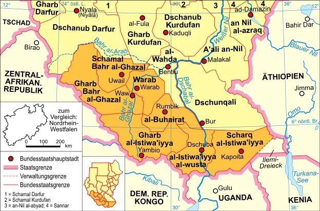
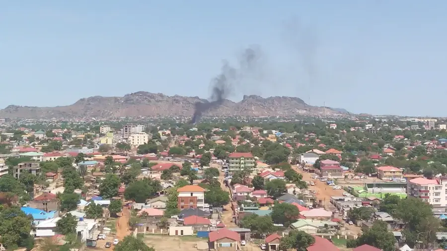
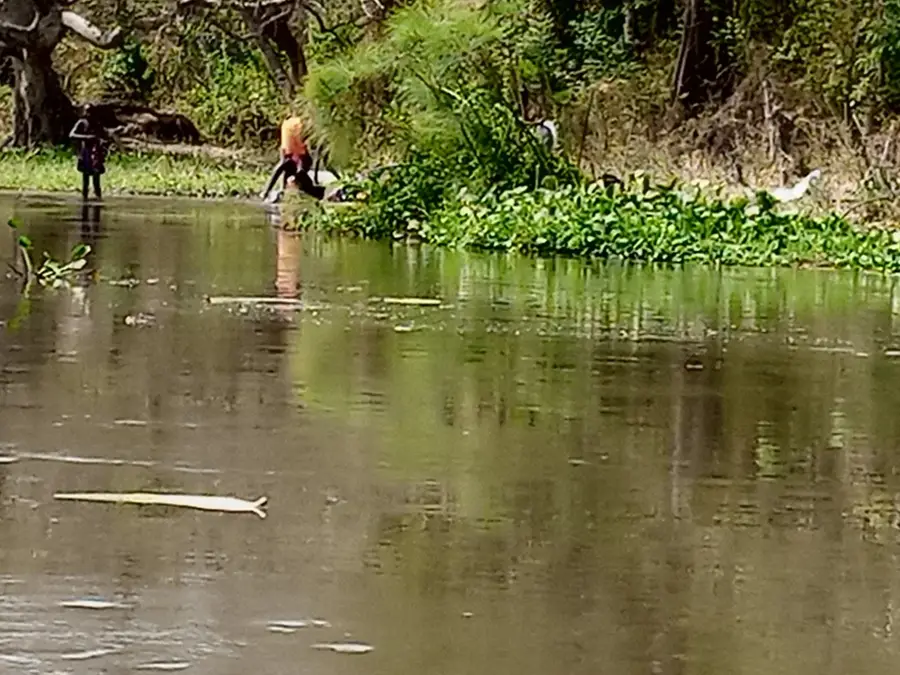
Jebel Tingli is a prominent mountain peak located within the Imatong Mountains in the Eastern Equatoria state of South Sudan. Rising to an elevation of approximately 1,800 meters above sea level, this peak is part of a central massif known for its extraordinary biological diversity in the region. Geologically, the formation consists primarily of crystalline basement rock, shaped by erosion over millions of years. Its slopes are covered by dense montane forests and, at higher altitudes, grasslands that serve as a critical water catchment area for the surrounding river systems of the White Nile. Due to its relative inaccessibility, the ecosystem around Jebel Tingli has remained largely shielded from human intervention, making it a sanctuary for rare primates and endemic plant species. The climate in this region is significantly cooler and receives more rainfall than the surrounding dry plains, supporting specialized flora that cannot survive at lower elevations.
- Location: South Sudan
- Nearby: Lainya (41 km)
Best time to visit & climate
The most pleasant time to visit is Jan, Nov, Dec.
| Jan | Feb | Mar | Apr | May | Jun | Jul | Aug | Sep | Oct | Nov | Dec | |
|---|---|---|---|---|---|---|---|---|---|---|---|---|
| Avg °C | 29 | 30 | 30 | 29 | 27 | 26 | 25 | 25 | 26 | 26 | 26 | 27 |
| Rain mm | 7 | 12 | 38 | 70 | 128 | 107 | 119 | 156 | 139 | 124 | 66 | 33 |
📋 Practical info
Geography
Facts
- Elevation of approx. 1,800 meters
- Part of the Imatong Mountain range
- Located in Eastern Equatoria state
- Critical water catchment for the Nile
- Composed of crystalline basement rock
- Annual rainfall can reach 1,500 mm
Explore nearby
Notable places around
Route planner — Car & Motorhome
Where do you start? We build the route here, with stops and country notes along the way.
© OpenStreetMap contributors · OpenRouteService
Sights nearby
Frequently asked questions
How is the view from Jebel Tingli?
Is hiking safe there?
Are there accommodations there?
What equipment is necessary?
Is camping allowed there?
Jebel Tingli: where is it located?
Jebel Tingli: when is the best time to visit?
Jebel Tingli: why is it worth visiting?

Nearby cities
History & landmarks


Nature
More places