Plizio Visual Lab
Bridge of the Americas
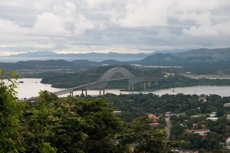
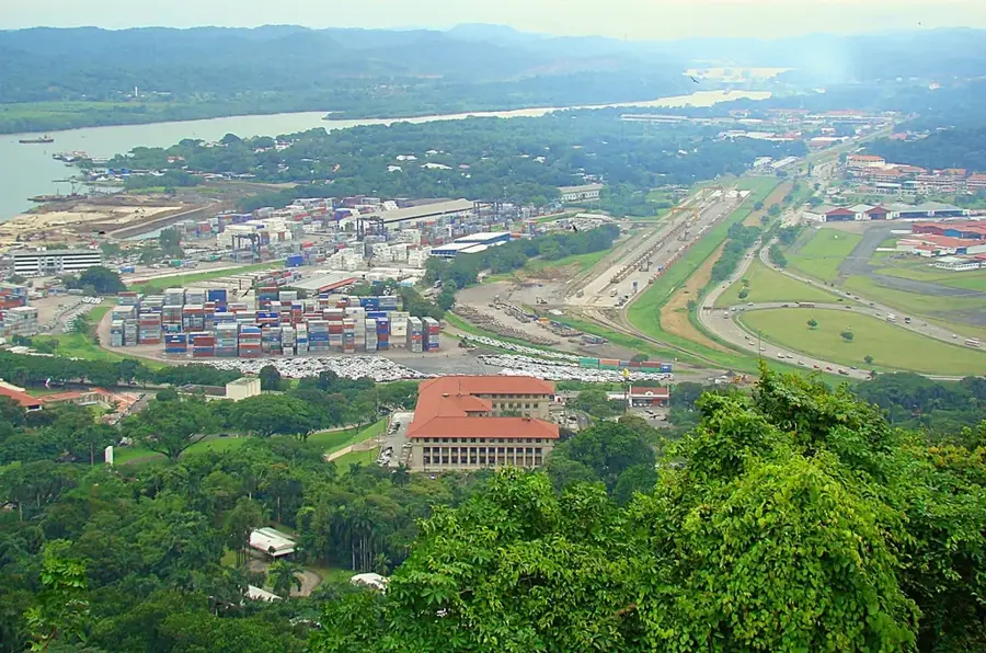
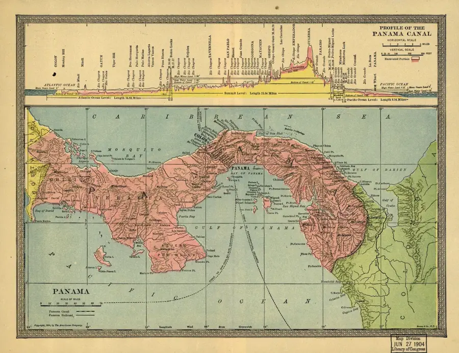
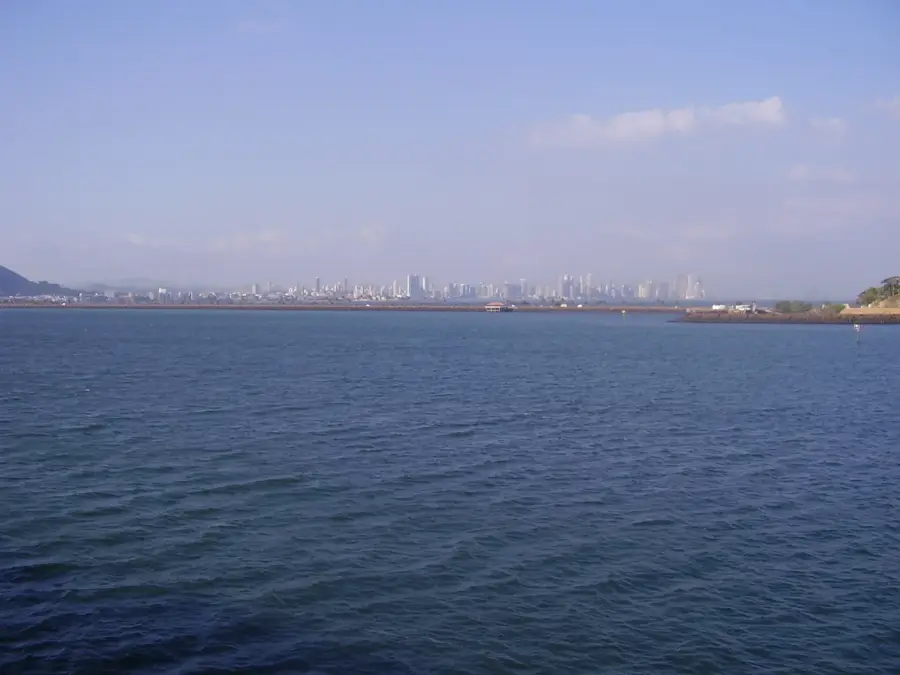
The Bridge of the Americas (Puente de las Américas) is one of Panama's most iconic landmarks, spanning the Pacific entrance of the Panama Canal. Completed in 1962, it was the first permanent bridge to connect North and South America, effectively uniting the two continents that had been separated by the canal's construction in 1914. This massive steel-arch bridge was built by the United States and has since become a symbol of Panamanian national identity and global connectivity. It carries the Pan-American Highway and gives panoramic views of the canal's locks and the Panama City skyline. For decades, it was the only road link between the two sides of the country until the opening of the Centennial Bridge in 2004.
- Location: Panama
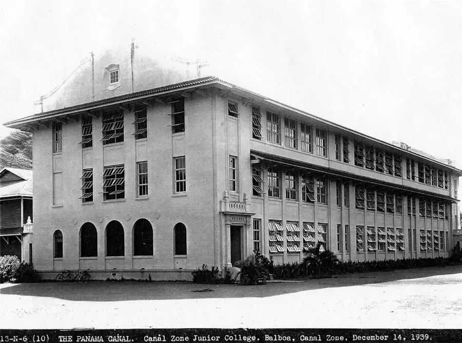
- Top sights: Balboa, Panama · Latin American Parliament · Estadio Maracaná (Panama)
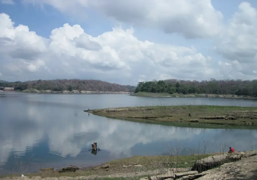
- Nearby: Chilibre (7 km)
Best time to visit & climate
The most pleasant time to visit is Jan–Mar.
| Jan | Feb | Mar | Apr | May | Jun | Jul | Aug | Sep | Oct | Nov | Dec | |
|---|---|---|---|---|---|---|---|---|---|---|---|---|
| Avg °C | 27 | 27 | 28 | 28 | 28 | 27 | 27 | 27 | 27 | 27 | 27 | 27 |
| Rain mm | 20 | 9 | 18 | 107 | 245 | 253 | 204 | 220 | 245 | 260 | 248 | 108 |
📋 Practical info
Geography
Facts
- Completed in 1962 at a cost of $20 million.
- Total length is 1,654 meters with a main span of 344 meters.
- Clearance under the bridge is 61 meters at high tide.
- Unites North and South America via the Pan-American Highway.
- Was originally known as Thatcher Ferry Bridge.
- Features a distinctive arched truss design.
- Carries approximately 35,000 vehicles per day.
- One of the most photographed structures in Panama.
Explore nearby
Notable places around
Route planner — Car & Motorhome
Where do you start? We build the route here, with stops and country notes along the way.
© OpenStreetMap contributors · OpenRouteService
Sights in the town Bridge of the Americas (3)
Sights nearby
Frequently asked questions
Can one walk across the bridge?
When is the best view?
Is the bridge passable by car?
How long is it?
Is it illuminated at night?
Bridge of the Americas: where is it located?
Bridge of the Americas: what is there to see?
Bridge of the Americas: when is the best time to visit?
Bridge of the Americas: why is it worth visiting?

Nearby cities


History & landmarks


More places