Plizio Visual Lab
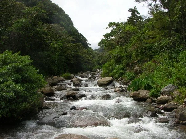
Caldera River
Weather…
Water temperature…
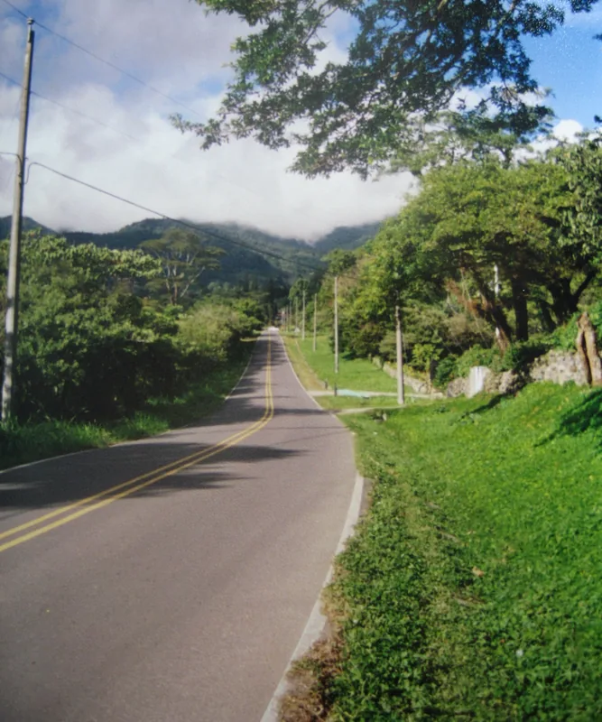
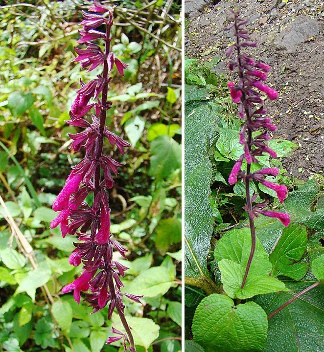
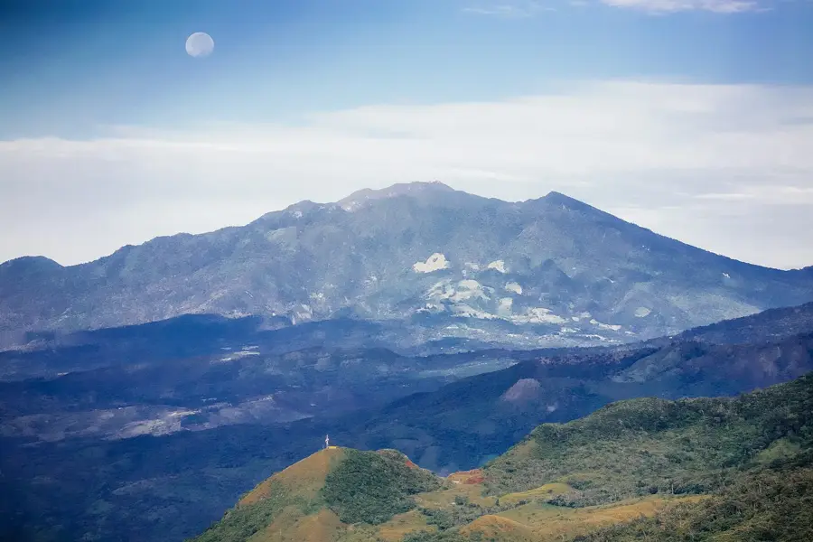
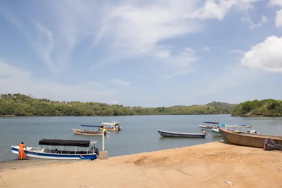
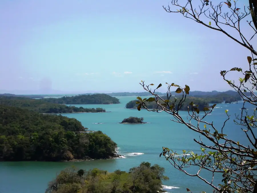
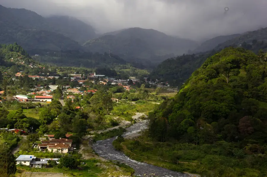
The Calderas River originates in the rugged mountainous regions of the Chiriquí Province in western Panama and serves as one of the most significant tributaries of the Chiriquí Nuevo River. Its course is defined by a steep gradient and a rocky bed, making it a premier destination in the international outdoor scene for whitewater rafting and kayaking near the town of Boquete. Beyond its high tourist value, the river performs a vital function for the local agricultural economy through irrigation systems and for the national energy supply via several installed hydroelectric power plants. The flora along the riverbanks consists of dense cloud forests that boast high biodiversity and provide shelter to numerous endemic bird species. During the dry season from December to April, the water volume reduces significantly, whereas heavy rainfall during the rainy season can lead to a massive swelling of the current. The geological composition of the riverbed is shaped by the volcanic activities of the nearby Barú Volcano, which created basalt formations over millions of years.
- Location: Panama
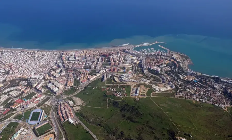
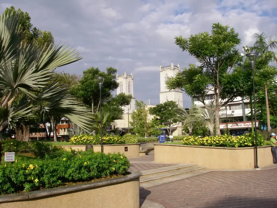
- Nearby: David (5 km)
Best time to visit & climate
The most pleasant time to visit is Jan–Mar.
| Jan | Feb | Mar | Apr | May | Jun | Jul | Aug | Sep | Oct | Nov | Dec | |
|---|---|---|---|---|---|---|---|---|---|---|---|---|
| Avg °C | 24 | 25 | 26 | 26 | 25 | 24 | 24 | 24 | 24 | 24 | 24 | 24 |
| Rain mm | 50 | 28 | 42 | 101 | 285 | 232 | 272 | 265 | 239 | 292 | 298 | 113 |
📋 Practical info
Geography
Facts
- The river is located in the Chiriquí Province of western Panama.
- It is a major tributary of the Chiriquí Nuevo River.
- Its waters feed several local hydroelectric plants for power generation.
- Near Boquete, it offers whitewater rafting rated between Class II and IV.
- The riverbed is predominantly composed of volcanic basalt rock.
- Water levels fluctuate extremely between the rainy and dry seasons.
Explore nearby
Notable places around
Route planner — Car & Motorhome
Where do you start? We build the route here, with stops and country notes along the way.
© OpenStreetMap contributors · OpenRouteService
Sights nearby
Frequently asked questions
How demanding is hiking along the Caldera River?
Is the water in the Caldera River suitable for swimming?
Are there nearby picnic opportunities?
What is the best season to visit?
Should I expect dangerous animals?
Caldera River: where is it located?
Caldera River: when is the best time to visit?
Caldera River: why is it worth visiting?

Nearby cities


More places