Plizio Visual Lab
Chin Hills
Weather…
Water temperature…
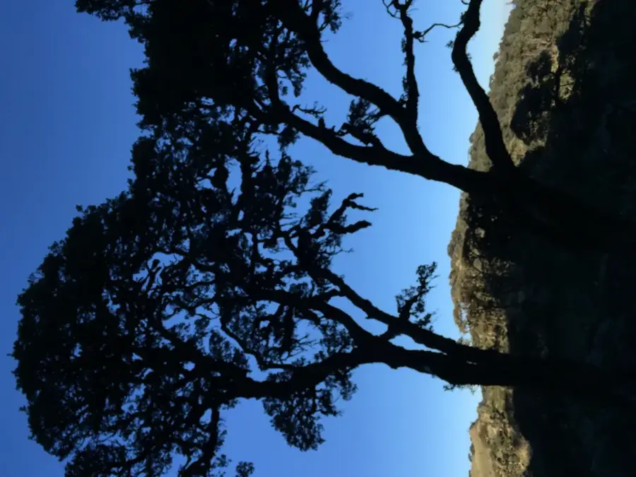
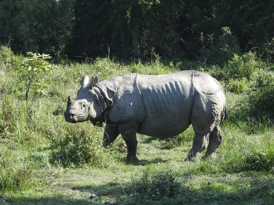
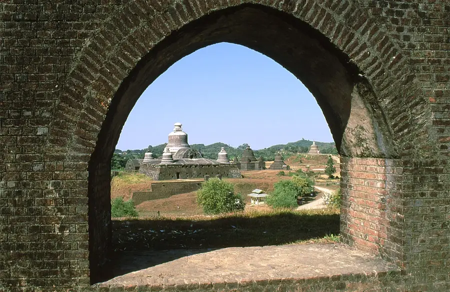
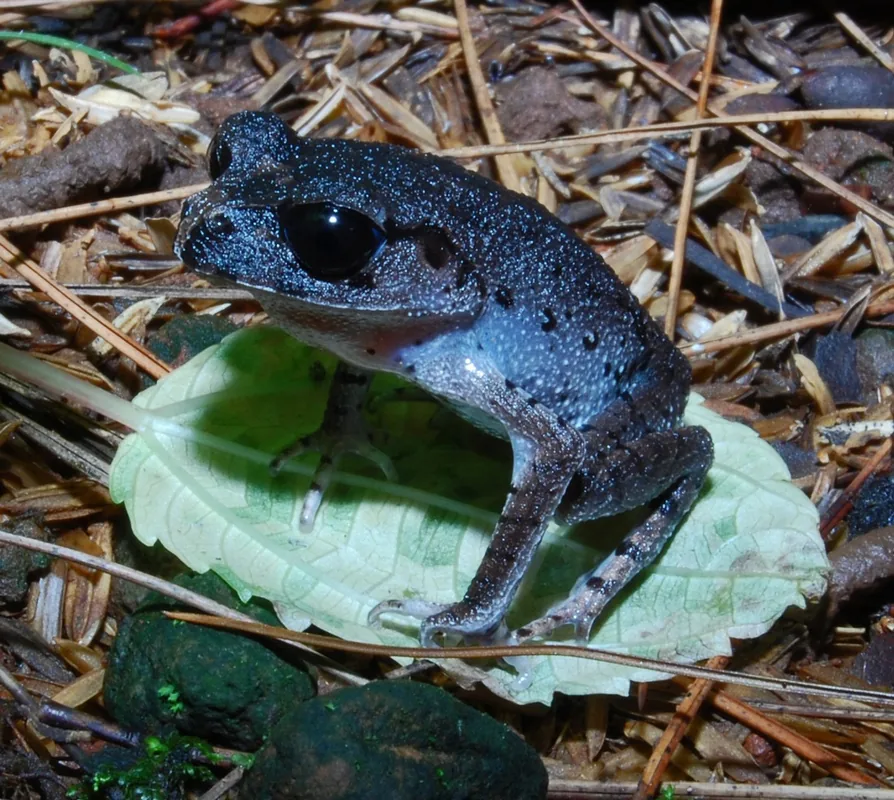
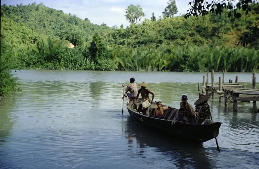
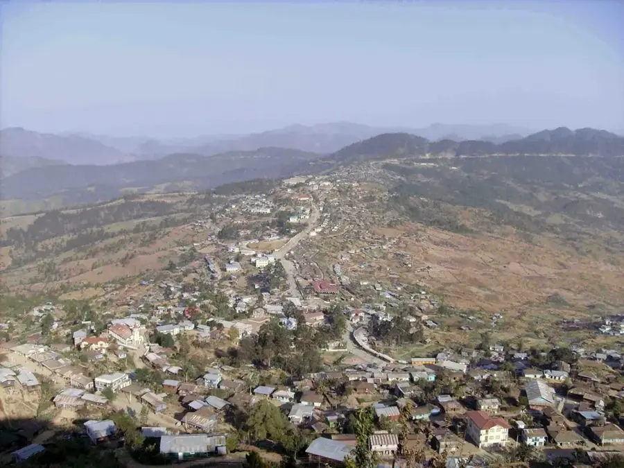
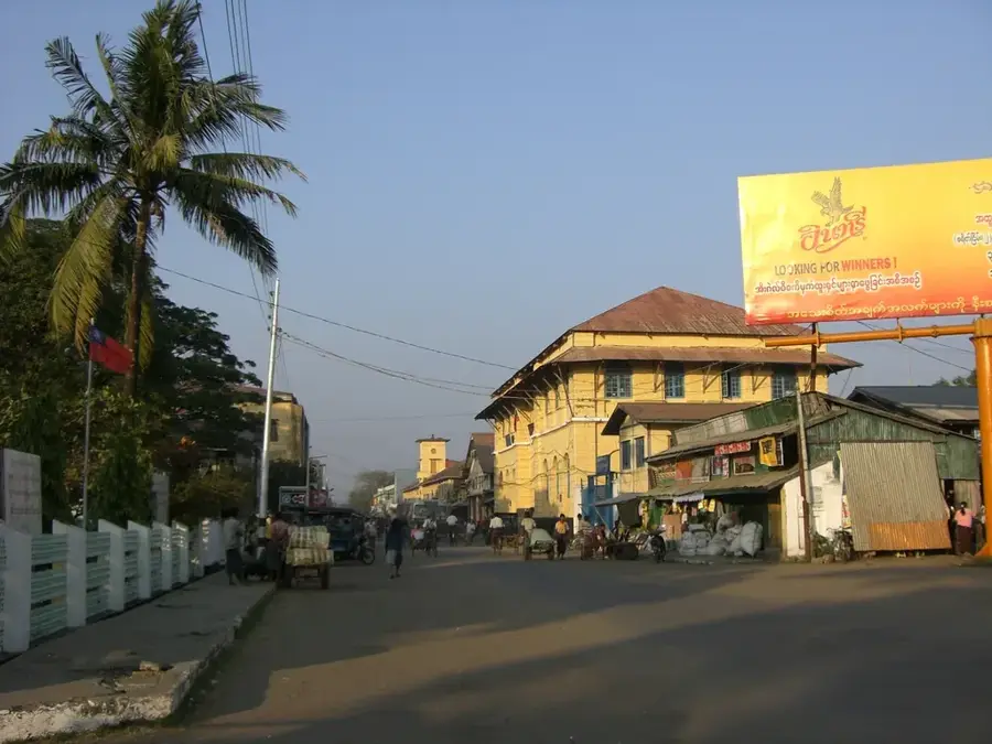
The Chin Hills are a mountainous region in western Myanmar, part of the Arakan Yoma mountain system and forming the border with India. The landscape ranges from rolling hills to rugged mountain peaks, with Nat Ma Taung, also known as Mount Victoria, being the highest elevation at 3,053 meters. The region is known for its cooler climate and unique flora, including numerous endemic orchid species and rhododendrons that bloom at higher elevations. The inhabitants of the region, the Chin people, possess a rich cultural identity reflected in traditional textiles and formerly in facial tattoos among women. Historically, the hills remained autonomous for a long time due to their inaccessibility and were only administratively integrated during the British colonial period. Today, Nat Ma Taung National Park is an important destination for ecotourism and birdwatchers, as it is home to rare species such as the White-browed Nuthatch. Despite the tourist potential, infrastructure in the Chin Hills remains a significant challenge for local development.
- Location: Myanmar (Burma)
- Nearby: Kyaukpyu (18 km)
Best time to visit & climate
The most pleasant time to visit is Feb, Mar, Nov.
| Jan | Feb | Mar | Apr | May | Jun | Jul | Aug | Sep | Oct | Nov | Dec | |
|---|---|---|---|---|---|---|---|---|---|---|---|---|
| Avg °C | 17 | 20 | 23 | 25 | 26 | 25 | 25 | 25 | 24 | 23 | 20 | 18 |
| Rain mm | 7 | 4 | 15 | 34 | 104 | 191 | 233 | 169 | 116 | 84 | 17 | 6 |
📋 Practical info
Geography
Facts
- Mount Victoria (Nat Ma Taung) is the highest point in the Chin Hills at 3,053 m.
- The region is home to over 300 different bird species.
- Rhododendrons bloom here in white, red, and yellow between January and March.
- The Chin languages include over 40 different dialects.
- Nat Ma Taung National Park was declared a protected area in 1994.
- Some villages in the Chin Hills are situated at elevations over 2,000 meters.
Explore nearby
Notable places around
Route planner — Car & Motorhome
Where do you start? We build the route here, with stops and country notes along the way.
© OpenStreetMap contributors · OpenRouteService
Sights in the town Chin Hills (1)
Sights nearby
Frequently asked questions
What is the hiking level in the Chin Hills?
Do you need a visa for this region?
Where is the best place to stay?
Is the region cold in winter?
Are there restaurants there?
Chin Hills: where is it located?
Chin Hills: when is the best time to visit?
Chin Hills: why is it worth visiting?

Nearby cities

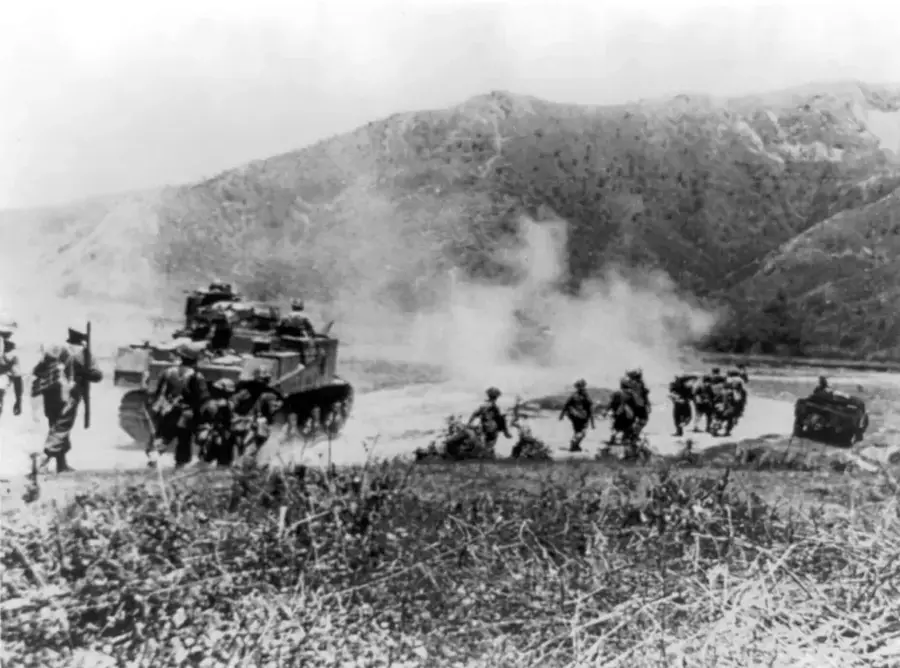
History & landmarks
Nature
More places