Plizio Visual Lab
Saka Haphong
Weather…
Water temperature…
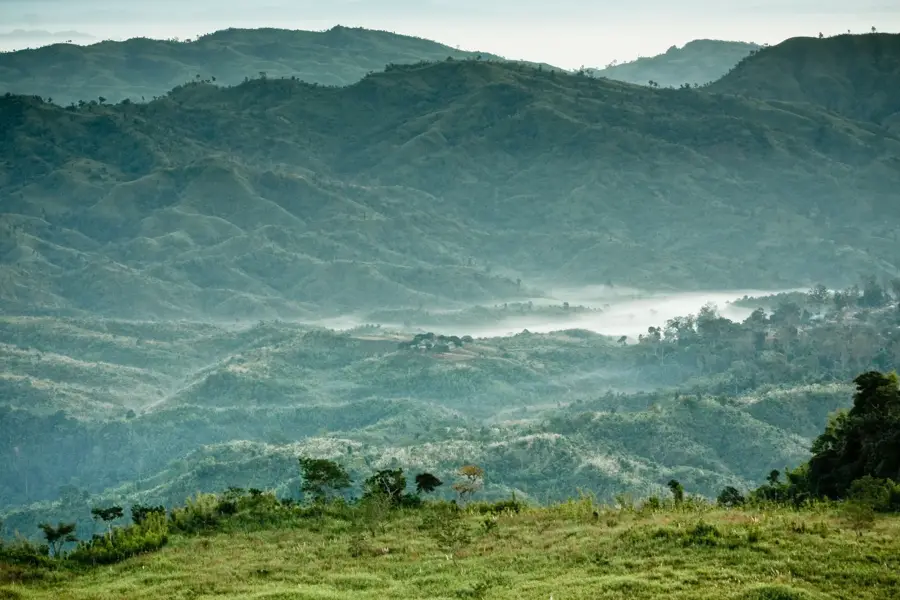
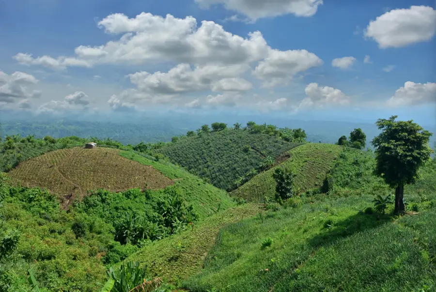
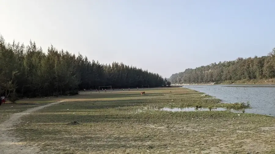
Saka Haphong, according to recent GPS surveys and topographical analysis, is considered the highest peak in Bangladesh, situated on the border between Bandarban District and Chin State of Myanmar. With an estimated elevation of approximately 1,052 meters (3,451 feet), it has superseded Keokradong in the unofficial ranking of the country's highest points. The mountain is located in one of the most remote and rugged sections of the Chittagong Hill Tracts, which kept it largely unexplored by outsiders until the early 21st century. Reaching the summit requires a multi-day expedition through dense tropical rainforest and across steep ridgelines, often in challenging weather conditions. For the indigenous communities residing nearby, the mountain is an integral part of their ancestral lands, while for Bangladeshi mountaineers, it represents a pinnacle of local adventure and the ultimate trekking challenge. The surrounding environment remains highly biodiverse, hosting rare flora and fauna that have disappeared from more accessible regions. Due to its sensitive location near the international border, access often requires special permits and adherence to local security protocols.
- Location: Bangladesh
- Nearby: Nilgiri (30 km)
Best time to visit & climate
The most pleasant time to visit is Feb, Nov, Dec.
| Jan | Feb | Mar | Apr | May | Jun | Jul | Aug | Sep | Oct | Nov | Dec | |
|---|---|---|---|---|---|---|---|---|---|---|---|---|
| Avg °C | 18 | 21 | 25 | 27 | 27 | 27 | 26 | 26 | 26 | 25 | 22 | 18 |
| Rain mm | 7 | 12 | 29 | 96 | 283 | 559 | 776 | 503 | 356 | 211 | 45 | 8 |
📋 Practical info
Geography
Facts
- The elevation is commonly recorded as 1,052 meters (3,451 feet).
- The summit was first formally documented by Ginge Fullen in 2005.
- It is also known locally as Mowdok Mual.
- Saka Haphong is part of the Mowdok range in the Hill Tracts.
- The area experiences high humidity and frequent flash storms.
- There are no permanent human settlements on the upper slopes.
Explore nearby
Notable places around
Route planner — Car & Motorhome
Where do you start? We build the route here, with stops and country notes along the way.
© OpenStreetMap contributors · OpenRouteService
Sights in the town Saka Haphong (1)
Sights nearby
Frequently asked questions
Is this the highest peak in Bangladesh?
How difficult is the climb?
How long does the expedition take?
What to bring?
When is the best time for trekking?
Saka Haphong: where is it located?
Saka Haphong: when is the best time to visit?
Saka Haphong: why is it worth visiting?

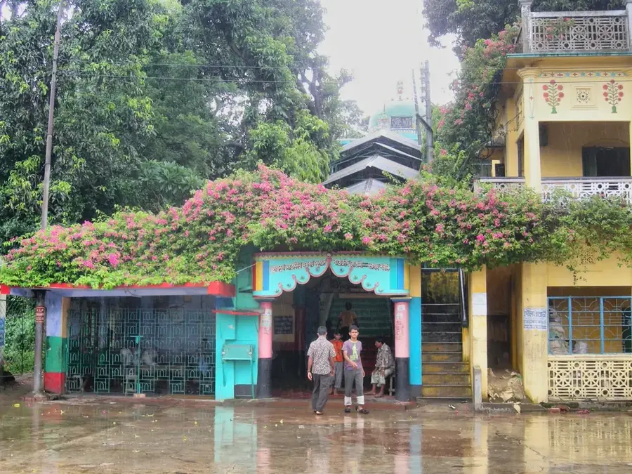
History & landmarks
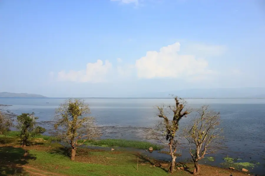
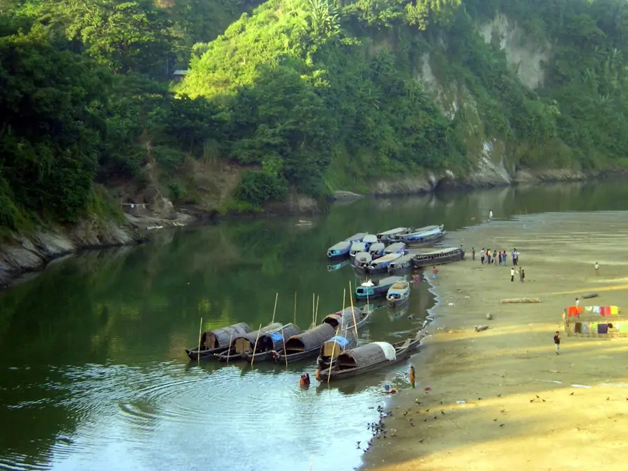
Nature
More places