Plizio Visual Lab
Nat Ma Taung
Weather…
Water temperature…
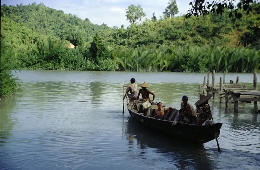
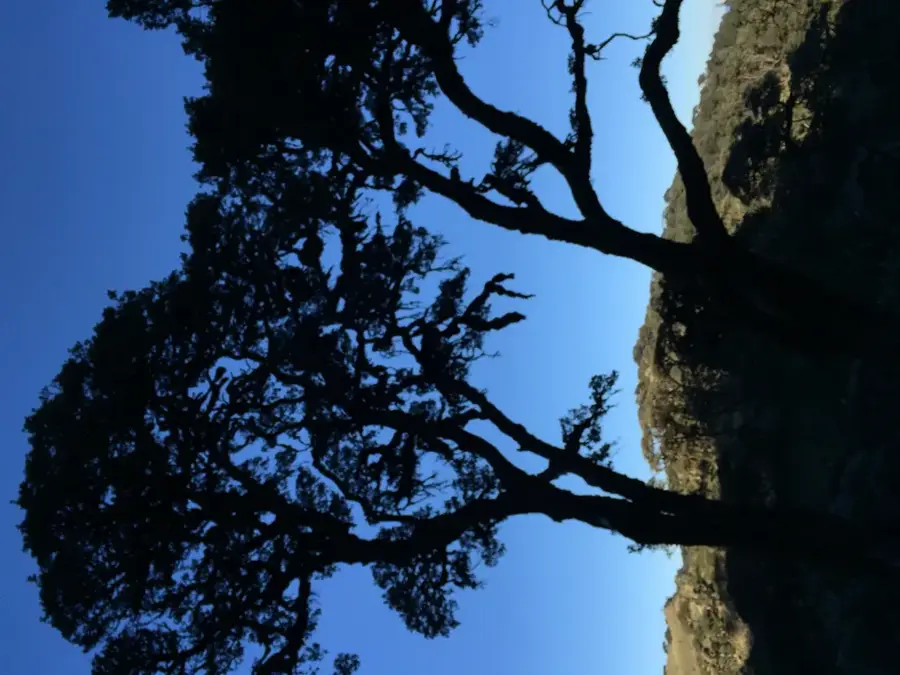
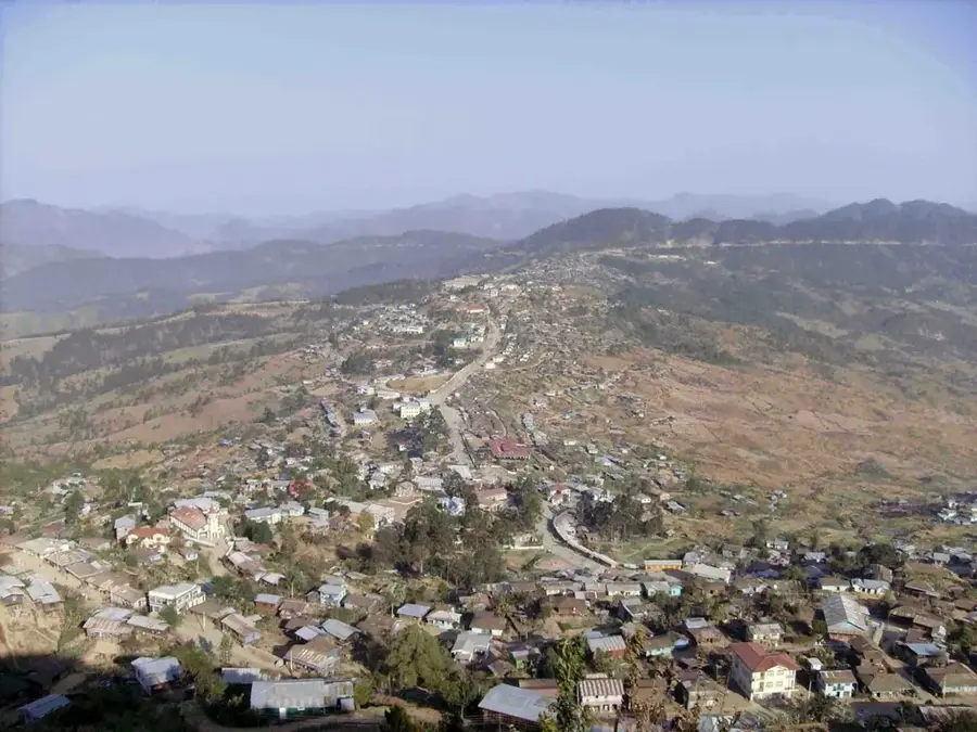
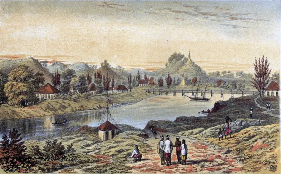
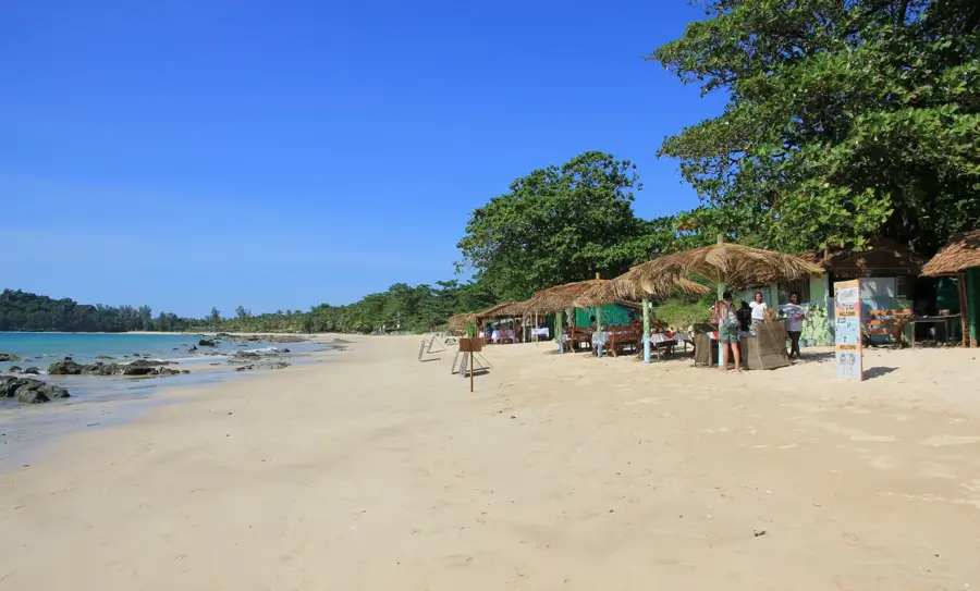
Nat Ma Taung, also known as Mount Victoria, is the highest mountain in Chin State and one of the highest peaks in Myanmar, standing at 3,053 meters. It is located in the southern part of the Chin Hills and forms the center of a 723-square-kilometer national park, which was designated an ASEAN Heritage Park in 2012. Due to its geographic isolation, the mountain has developed a unique flora and fauna that includes many endemic species, such as the Mount Victoria Nuthatch. The landscape transforms with increasing elevation from subtropical rainforests to pine and oak forests, culminating in alpine meadows on the summit plateau. Culturally, the region is known for traditional Chin villages where some women still maintain the historical custom of facial tattoos. The mountain features spectacular hiking trails that are particularly colorful during the rhododendron bloom between December and February. Access is usually via the small towns of Kanpetlet or Mindat, which serve as gateways to this remote mountain world.
- Location: Myanmar (Burma)
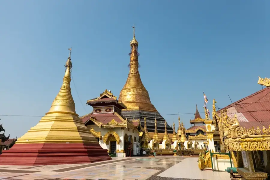
- Top sights: Nat Ma Taung · Mount Victoria National Park
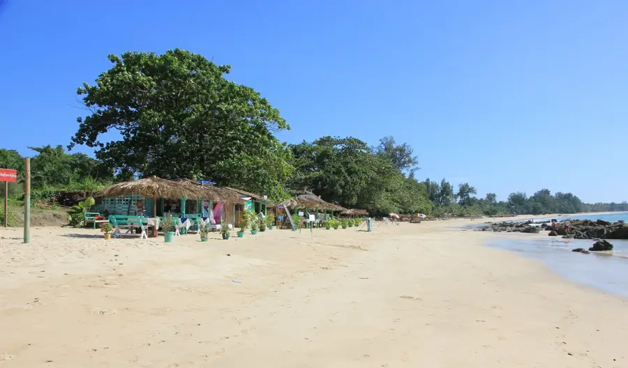
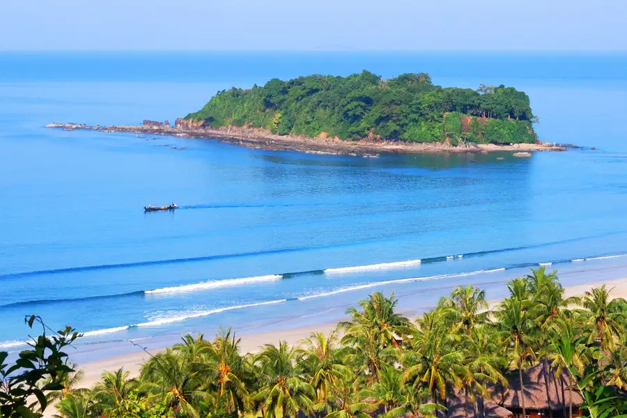
- Nearby: Kyaukpyu (43 km)
Best time to visit & climate
The most pleasant time to visit is Feb, Nov, Dec.
| Jan | Feb | Mar | Apr | May | Jun | Jul | Aug | Sep | Oct | Nov | Dec | |
|---|---|---|---|---|---|---|---|---|---|---|---|---|
| Avg °C | 18 | 20 | 23 | 26 | 26 | 25 | 24 | 24 | 24 | 23 | 21 | 18 |
| Rain mm | 7 | 3 | 14 | 30 | 103 | 285 | 356 | 254 | 152 | 98 | 14 | 8 |
📋 Practical info
Geography
Facts
- The official summit height is 3,053 meters.
- The national park was established in 1994.
- It has been an official ASEAN Heritage Park since 2012.
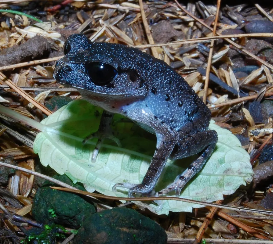
- The region is home to the endemic Mount Victoria Nuthatch (Sitta victoriae).
- Rhododendrons bloom here in red, white, and yellow colors.
- The average annual temperature at the summit is approximately 15 degrees Celsius.
Explore nearby
Notable places around
Route planner — Car & Motorhome
Where do you start? We build the route here, with stops and country notes along the way.
© OpenStreetMap contributors · OpenRouteService
Sights in the town Nat Ma Taung (2)
Sights nearby
Frequently asked questions
What is the weather like on Nat Ma Taung?
How difficult is the hike to the summit?
Is a permit needed for the national park?
Are there accommodation options there?
When do the rhododendrons bloom?
Nat Ma Taung: where is it located?
Nat Ma Taung: what is there to see?
Nat Ma Taung: when is the best time to visit?
Nat Ma Taung: why is it worth visiting?

Nearby cities

History & landmarks
Nature
More places