Plizio Visual Lab
Ponnyadaung Range

Weather…
Water temperature…
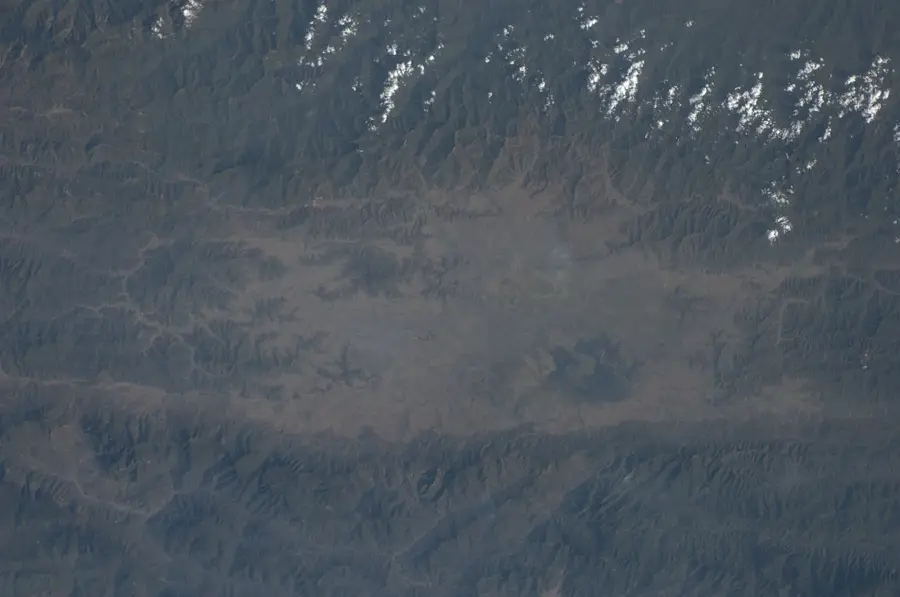
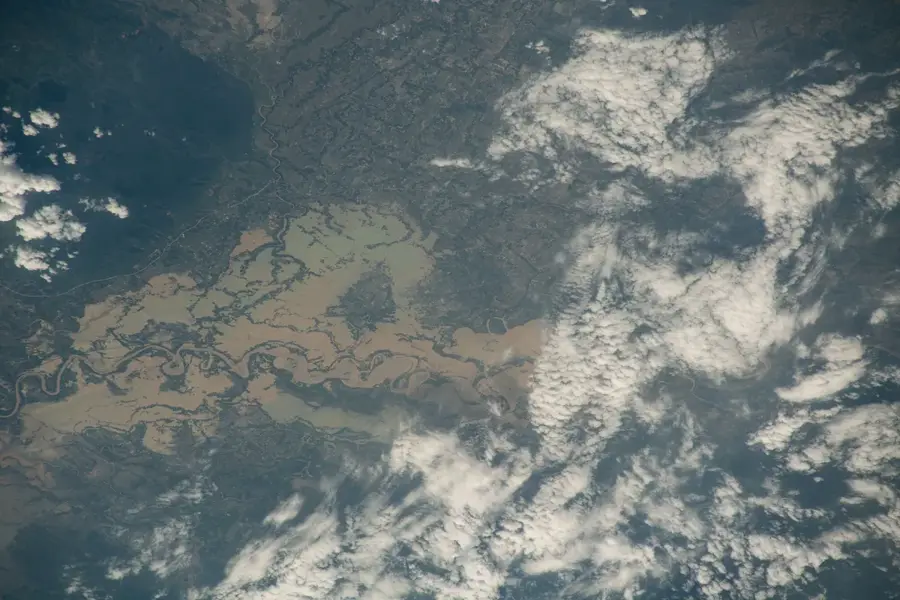
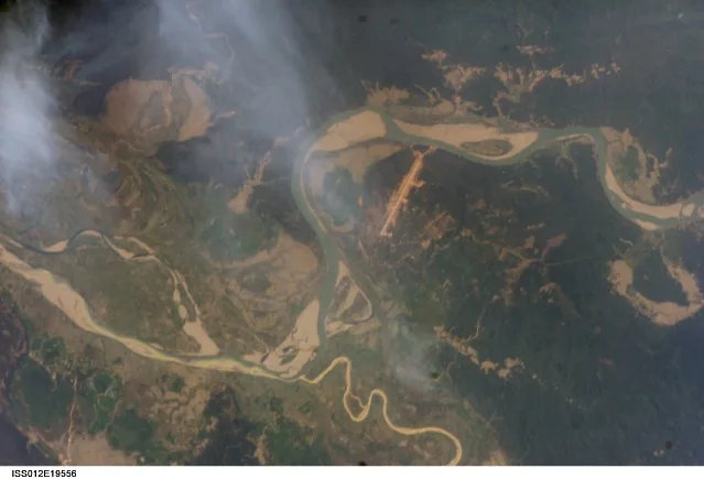
The Ponnyadaung Range runs parallel to the Pondaung Range in west-central Myanmar, forming an essential component of the fold-and-thrust belt at the edge of the Irrawaddy Basin. This range of hills is characterized by striking geological structures that developed during the late Cretaceous and Paleogene through compressive tectonics. The region is situated within Myanmar's so-called 'Dry Zone,' reflected in sparse vegetation and seasonal watercourses. The ridges reach moderate elevations but offer sweeping views over the surrounding agricultural lands of the Sagaing Region. Historically, the mountain range served as a natural boundary for local principalities and as a refuge during military conflicts. Today, the area is primarily used for dryland farming and small-scale livestock rearing, with water scarcity posing a constant challenge for residents. The Ponnyadaung Range is also known for its mineral resource deposits, which are only limitedly extracted due to infrastructure constraints. Geologically, it is closely linked to the evolution of the Burmese Arc.
- Location: Myanmar (Burma)
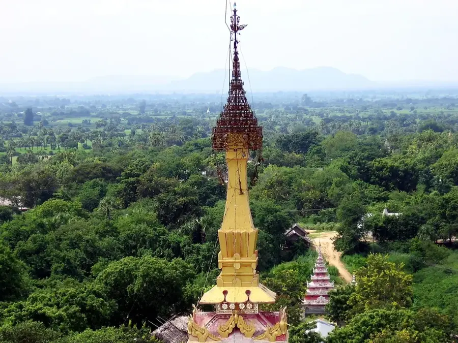
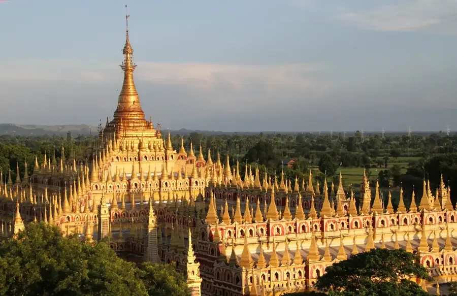
- Top sights: ရွှေကွန်အုပ်ဆံတော်ရှင်စေတီတော် · စေတီတော် · စေတီ
- Nearby: Ngapali Beach (35 km)
Best time to visit & climate
The most pleasant time to visit is Feb, Mar, Nov.
| Jan | Feb | Mar | Apr | May | Jun | Jul | Aug | Sep | Oct | Nov | Dec | |
|---|---|---|---|---|---|---|---|---|---|---|---|---|
| Avg °C | 17 | 19 | 22 | 25 | 25 | 24 | 23 | 23 | 23 | 22 | 19 | 17 |
| Rain mm | 7 | 4 | 16 | 34 | 113 | 248 | 313 | 223 | 143 | 97 | 17 | 7 |
📋 Practical info
Geography
Facts
- The Ponnyadaung Range is located to the west of the Pondaung Range.
- The mountain range consists predominantly of Eocene sandstones.
- Seasonal rivers such as the Yaw River originate in these mountains.
- The region belongs to the semi-arid climate zone of central Myanmar.
- Traditional dryland farming characterizes the local economy.
- The geology exhibits complex folding and thrusting structures.
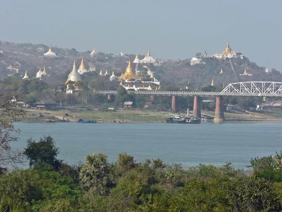
Explore nearby
Notable places around
Route planner — Car & Motorhome
Where do you start? We build the route here, with stops and country notes along the way.
© OpenStreetMap contributors · OpenRouteService
Sights in the town Ponnyadaung Range (3)
Sights nearby
Frequently asked questions
What is the Ponnyadaung Range?
Are there tourist paths there?
What animals live there?
Is camping safe?
What is the climate like there?
Ponnyadaung Range: where is it located?
Ponnyadaung Range: what is there to see?
Ponnyadaung Range: when is the best time to visit?
Ponnyadaung Range: why is it worth visiting?

Nearby cities
History & landmarks
Nature
More places