Plizio Visual Lab
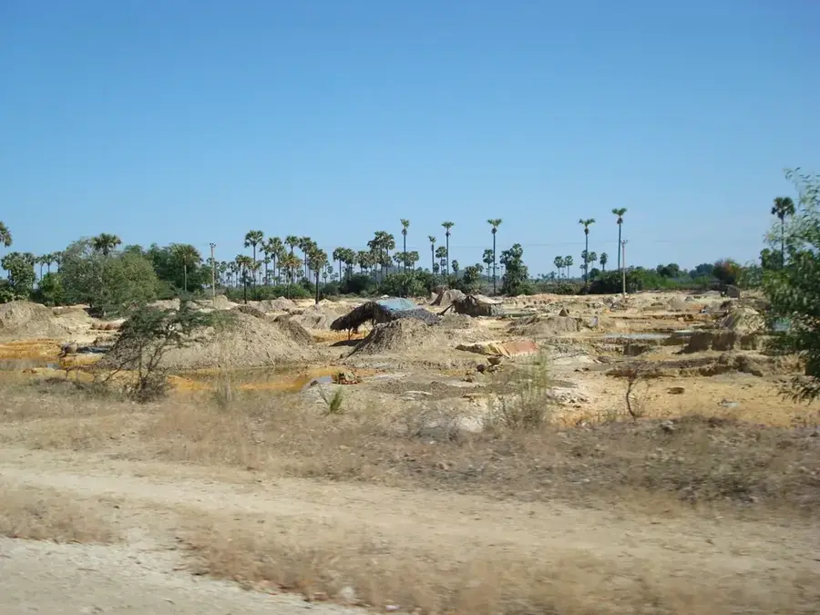
Pondaung Range
Weather…
Water temperature…
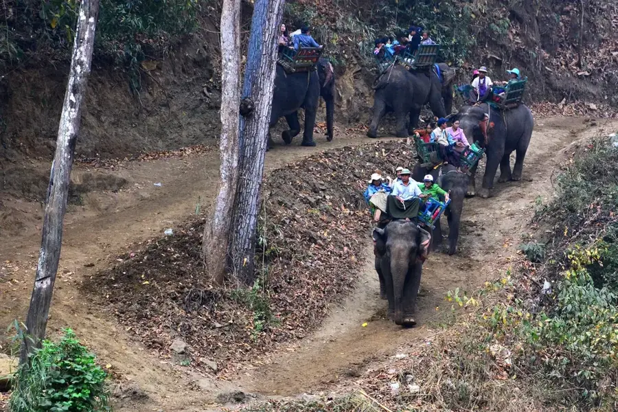
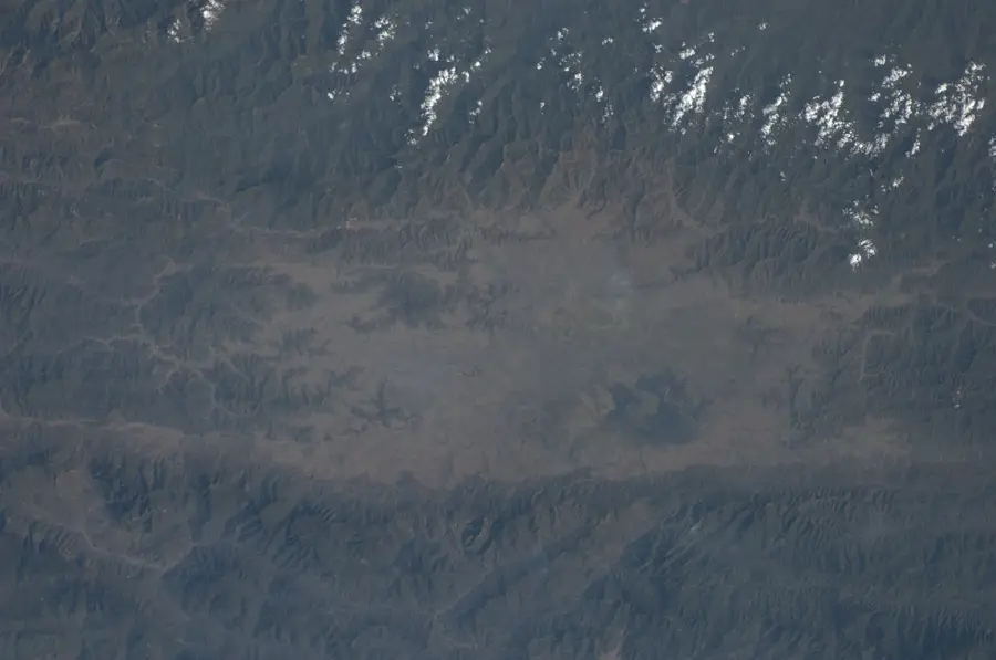
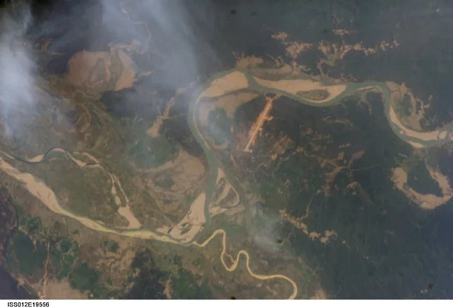
The Pondaung Range is a significant mountain chain in central Myanmar, world-renowned primarily for its outstanding paleontological importance. Stretching through the Sagaing and Magway regions, it consists predominantly of Eocene rock layers from the so-called Pondaung Formation. In these layers, which are approximately 37 to 40 million years old, groundbreaking fossil finds of early primates such as 'Pondaungia' and 'Amphipithecus' were discovered, providing vital insights into the evolution of anthropoids. Geographically, the range is characterized by an arid to semi-arid climate, favoring a distinctive vegetation of savannas and open woodlands. The landscape is marked by deep gorges and steep slopes, shaped by the tectonic activity of the Central Burmese Basin. In addition to scientific research, agriculture plays a role in the valleys, where millet and oilseeds are cultivated. The Pondaung Range remains an indispensable destination for geologists and biologists investigating the prehistoric history of Southeast Asia.
- Location: Myanmar (Burma)
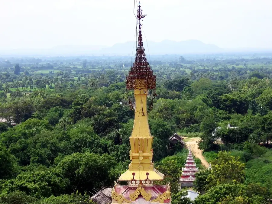
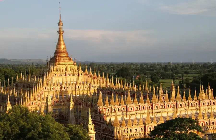
- Top sights: စေတီတော် · စေတီတော် · စေတီတော်
- Nearby: Thandwe (28 km)
Best time to visit & climate
The most pleasant time to visit is Jan, Feb, Dec.
| Jan | Feb | Mar | Apr | May | Jun | Jul | Aug | Sep | Oct | Nov | Dec | |
|---|---|---|---|---|---|---|---|---|---|---|---|---|
| Avg °C | 20 | 23 | 27 | 30 | 30 | 29 | 29 | 29 | 28 | 27 | 24 | 21 |
| Rain mm | 6 | 3 | 12 | 21 | 61 | 84 | 87 | 74 | 58 | 51 | 11 | 5 |
📋 Practical info
Geography
Facts
- The Pondaung Formation is approximately 40 million years old.
- Finds of 'Pondaungia cottaui' prove early primates lived in Asia.
- The mountain range reaches elevations of up to 1,000 meters.
- Geologically, the range belongs to the Central Burmese molasse basin.
- Fossils of prehistoric crocodiles have also been found in the region.
- The town of Mogaung is a well-known starting point for expeditions.
Explore nearby
Notable places around
Route planner — Car & Motorhome
Where do you start? We build the route here, with stops and country notes along the way.
© OpenStreetMap contributors · OpenRouteService
Sights in the town Pondaung Range (3)
Sights nearby
Frequently asked questions
What is special about the Pondaung Range?
Can you visit the fossil sites?
How is the infrastructure?
Is it safe for tourists?
Do you need a guide?
Pondaung Range: where is it located?
Pondaung Range: what is there to see?
Pondaung Range: when is the best time to visit?
Pondaung Range: why is it worth visiting?

Nearby cities
History & landmarks
Nature
More places