Plizio Visual Lab
Samina River
Weather…
Water temperature…
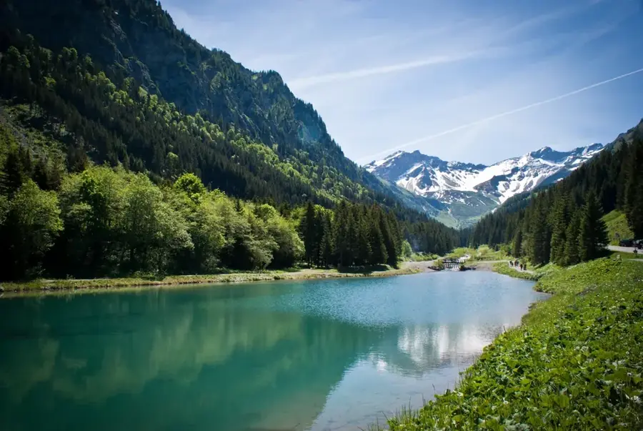
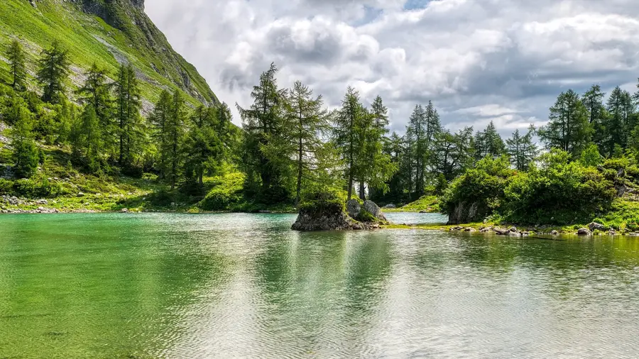
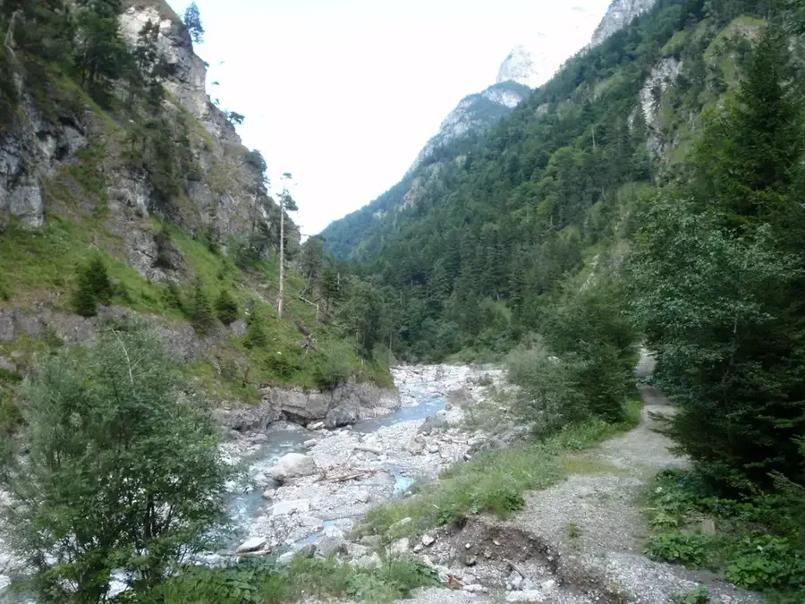
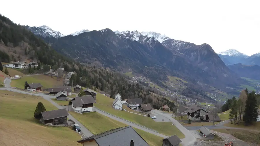
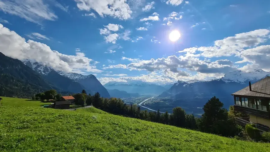
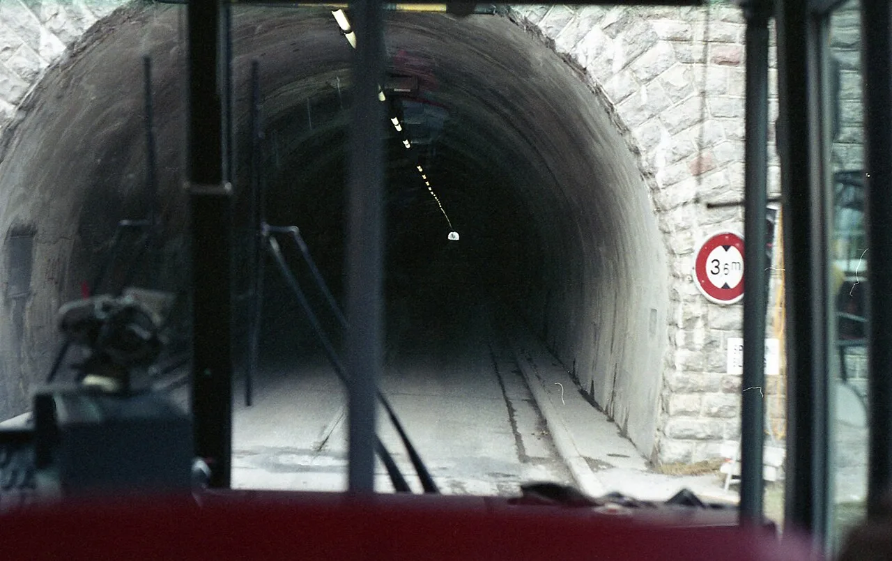
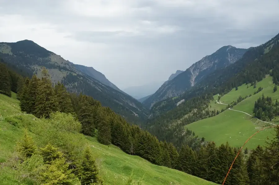
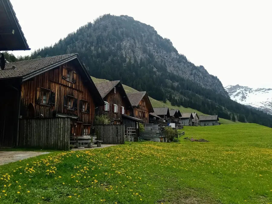
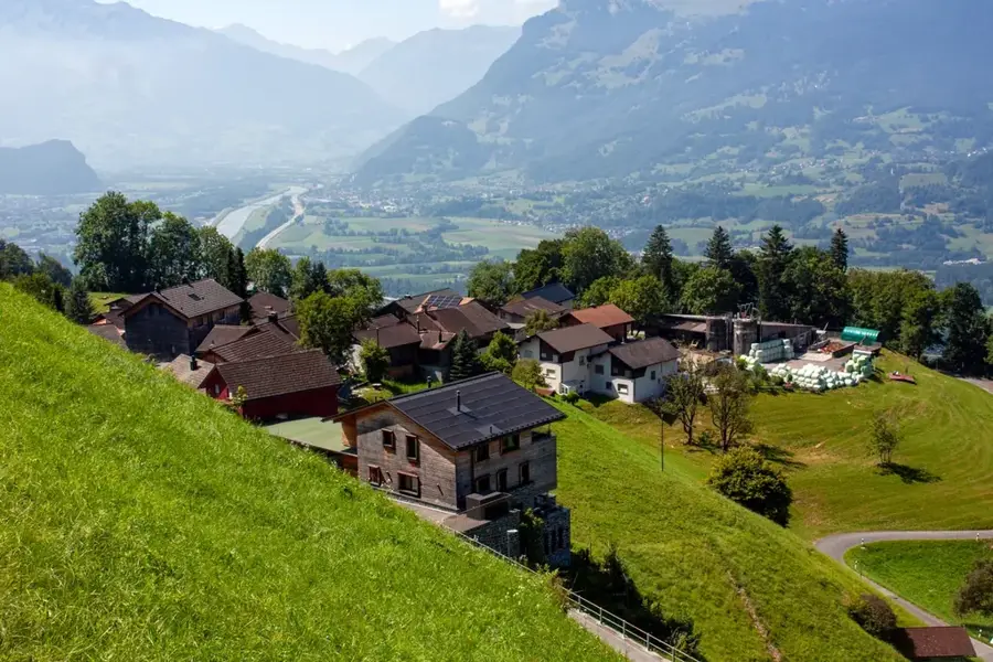
The Samina is the second-longest river in the Principality of Liechtenstein, with a total length of approximately 17 kilometers. It originates in the mountain regions of the Rätikon and flows through the wild and romantic Samina Valley before emptying into the Ill River near Frastanz in Austria. About 12 kilometers of its course lie within Liechtenstein territory. The river is of great ecological significance, as it covers long stretches in a near-natural state, providing a habitat for numerous rare animal and plant species. The water power of the Samina is utilized extensively, particularly by the Samina power plant, which went into operation in 1947 and makes a substantial contribution to the country's energy supply. Despite this hydroelectric use, conservation measures have been implemented to preserve the river's ecological value. The Samina Valley itself is uninhabited and is regarded as one of the most important recreational areas for hikers and nature lovers.
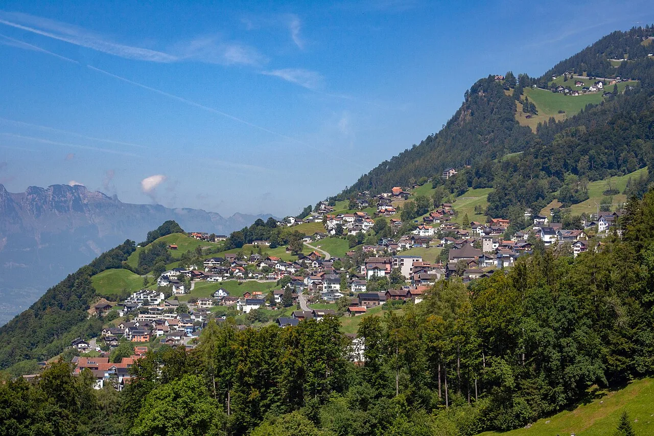
- Location: Triesenberg, Liechtenstein
- Top sights: Geografischer Mittelpunkt von Liechtenstein · Helwangspitz · Drei Kapuziner
- Nearby: Letten (4 km)
Best time to visit & climate
The most pleasant time to visit is Jul–Sep.
| Jan | Feb | Mar | Apr | May | Jun | Jul | Aug | Sep | Oct | Nov | Dec | |
|---|---|---|---|---|---|---|---|---|---|---|---|---|
| Avg °C | -6 | -5 | -1 | 4 | 8 | 13 | 14 | 14 | 10 | 6 | 0 | -4 |
| Rain mm | 92 | 70 | 91 | 93 | 147 | 173 | 169 | 185 | 121 | 103 | 91 | 93 |
📋 Practical info
Geography
Facts
- Second-longest river in Liechtenstein (17 km)
- Source located in the Rätikon mountains
- Empties into the Ill River near Frastanz
- Approximately 12 km of its course in Liechtenstein
- Powered by the Samina power plant since 1947
- Uninhabited valley with high ecological quality
Explore nearby
Notable places around
Route planner — Car & Motorhome
Where do you start? We build the route here, with stops and country notes along the way.
© OpenStreetMap contributors · OpenRouteService
Sights in the town Samina River (10)
Alpspitz
Alpspitz is a mountain in Liechtenstein.
Gaflei Aussichtsturm
Gaflei observation tower has a panoramic view of the Liechtenstein Rhine valley.
Pfarrkirche Sankt Josef
Pfarrkirche Sankt Josef is a Catholic church building in the Principality of Liechtenstein.
Walsermuseum🏛 museum
Walsermuseum in Triesenberg shows the cultural history of the Walser people in Liechtenstein.
Heimatmuseum🏛 museum
Heimatmuseum in Triesenberg with exhibitions on local history.
Erichs Bildergalerie
Erichs Bildergalerie in Triesenberg displays local art.
Kapelle Steg
Kapelle Steg is a Catholic church building in the Principality of Liechtenstein.
Sights nearby
Frequently asked questions
What is the Samina?
Can you hike in the Samina Valley?
Is fishing allowed in the Samina?
Are there dangerous spots along the river?
Where does the Samina flow to?
Samina River: where is it located?
Samina River: what is there to see?
Samina River: when is the best time to visit?
Samina River: why is it worth visiting?

Nearby cities

History & landmarks