Plizio Visual Lab
Steg
ℹ️Practical info — Steg
▾
🌤 Weather — 5 days
📍 Nearby
Sights nearby
💡 Tips
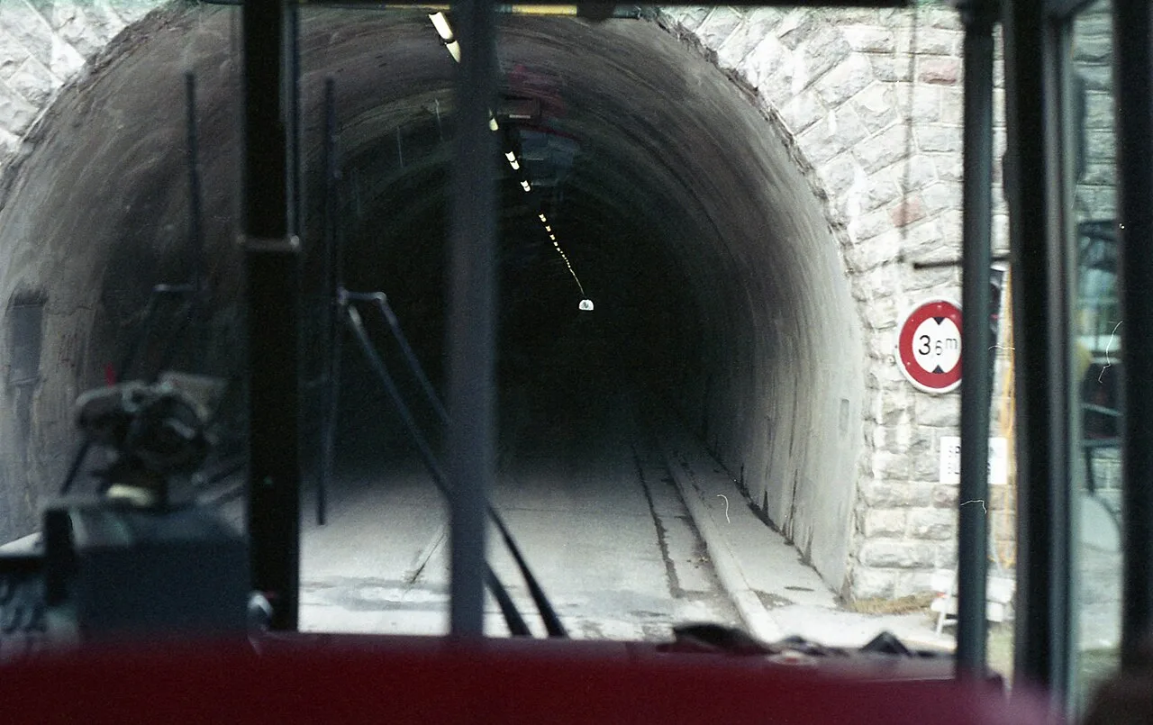
- Access the village by driving through the narrow Gnalp-Steg tunnel from Triesenberg.
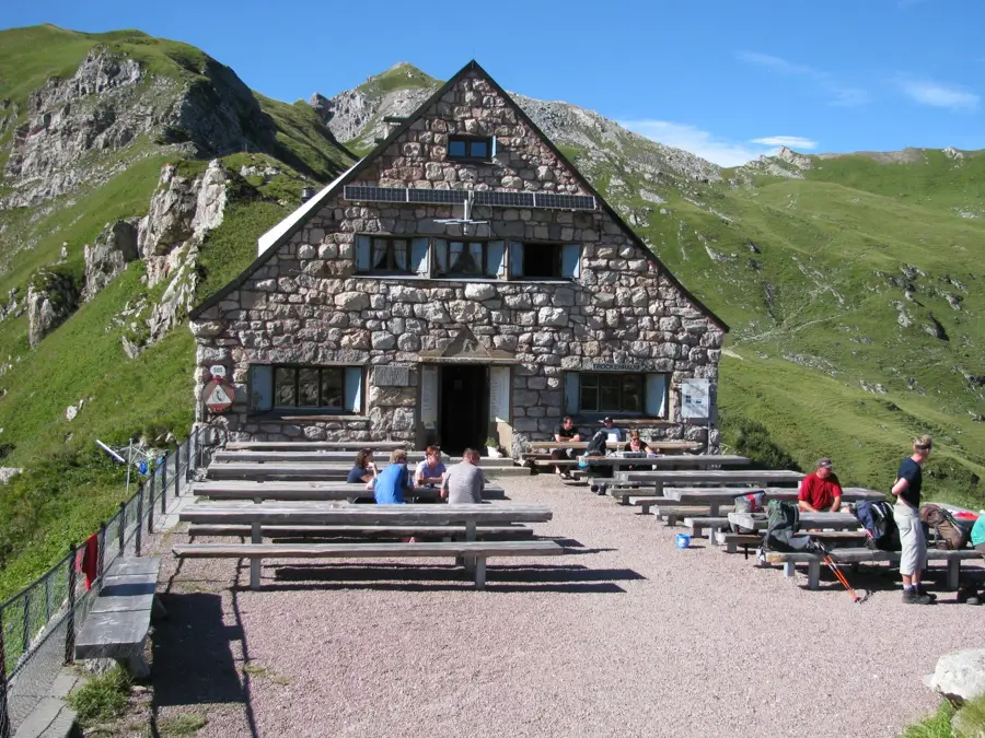
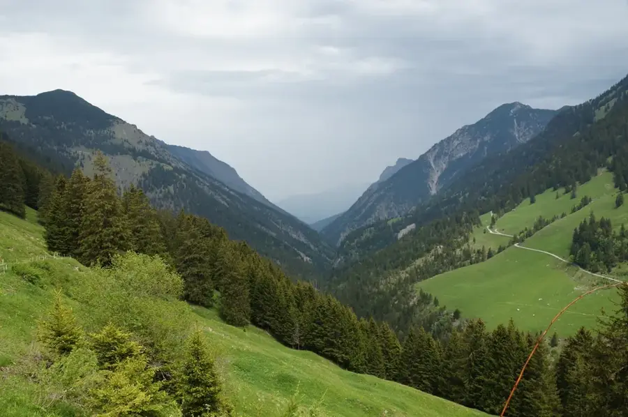
- It's an excellent starting point for hiking trails leading to the Pfälzerhütte or into the Valüna valley.
- In winter, take advantage of the illuminated cross-country skiing trail for a quiet night run.
- Parking is conveniently located near the Steg reservoir, which is excellent for a leisurely walk.
🍽 Food
Try these traditional cheese dumplings at a local mountain inn.
Enjoy a hearty platter of local cold cuts and cheese at an Alp during summer.
Look for seasonal wild game dishes in nearby restaurants during the autumn months.
🛍 Shopping · 🧘 Quiet spots
Buy fresh alpine cheese directly from the dairy at Alp Valüna during the summer.
While Steg is quiet, nearby Malbun has shops for outdoor equipment and local souvenirs.
A calm reservoir great for a peaceful, level walk around the water.
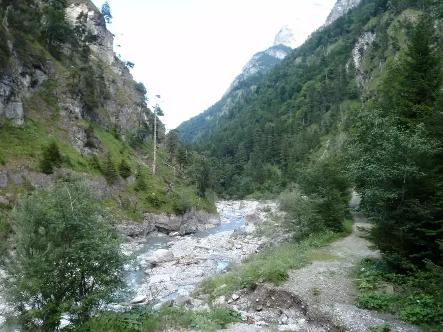
A serene valley offering quiet hiking trails away from the main tourist paths.
Water temperature…
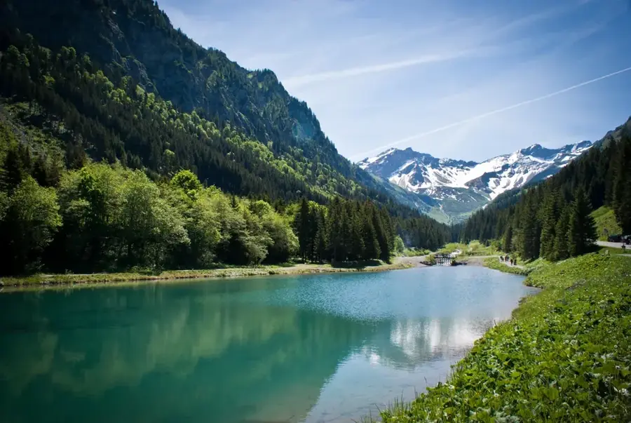
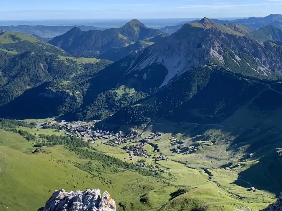
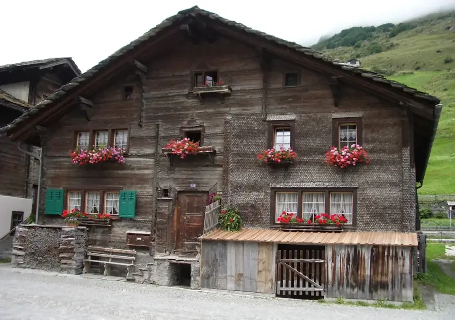
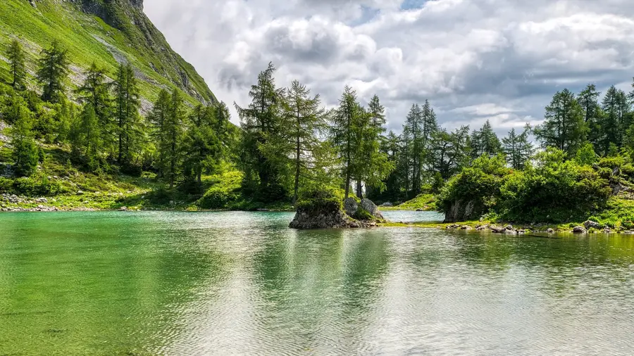
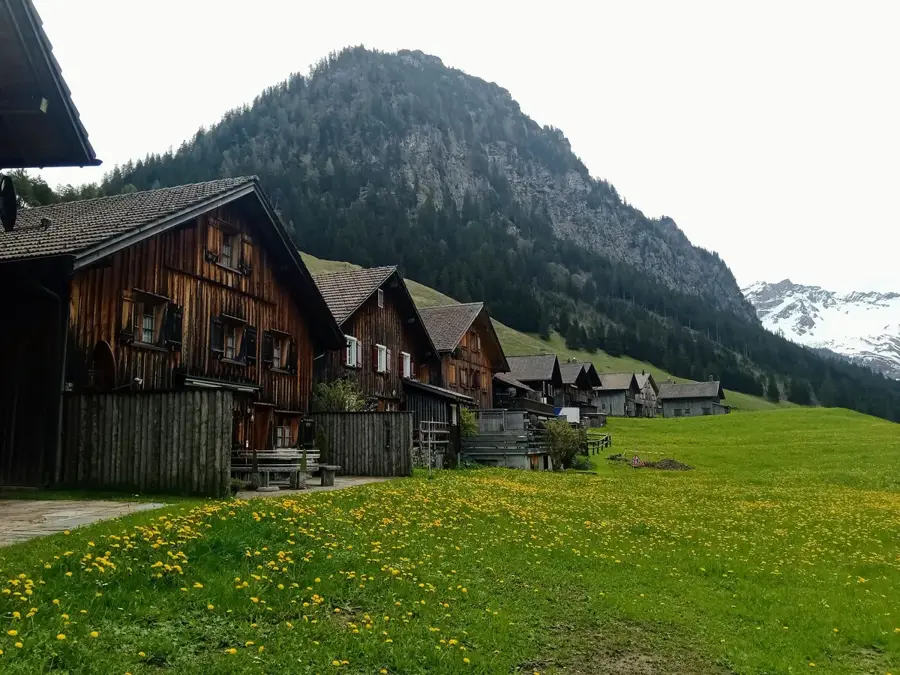
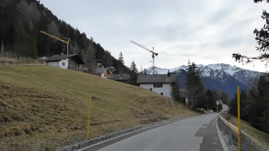
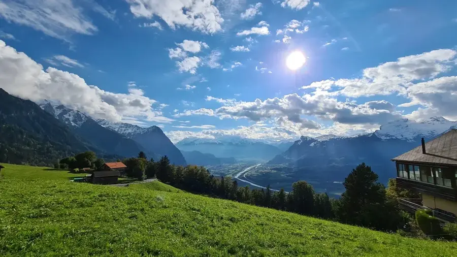
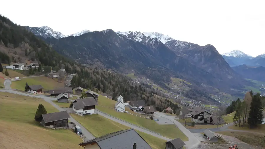
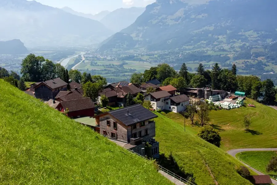
Steg is an idyllic settlement in the Samina Valley belonging to the municipality of Triesenberg, situated at an altitude of about 1,300 meters. The location traditionally serves as a seasonal settlement (Maiensäss) for Triesenberg farmers and is characterized by its distinctive wooden huts standing closely together on a flat valley floor. Geographically, Steg is connected to the Rhine Valley by a road tunnel completed in 1947, which significantly eased year-round access. A central element of the landscape is the Gänglesee, a small reservoir that now serves as a local recreation area and a popular photography subject. In the past, the area was an important hub for alpine farming and timber transport. Today, Steg is a center for cross-country skiing in winter and a quiet retreat for hikers and fishers in summer. The architecture of the old stables and residential huts bears witness to the hard work of the Walser ancestors and has been largely preserved in its original state.
- Location: Triesenberg, Liechtenstein
- Top sights: Chrüppel · Kapelle Steg · Stausee Steg
- Nearby: Maschlina (4 km)
- Population: ~2.643
Best time to visit & climate
The most pleasant time to visit is Jul–Sep.
| Jan | Feb | Mar | Apr | May | Jun | Jul | Aug | Sep | Oct | Nov | Dec | |
|---|---|---|---|---|---|---|---|---|---|---|---|---|
| Avg °C | -6 | -5 | -1 | 4 | 8 | 13 | 14 | 14 | 10 | 6 | 0 | -4 |
| Rain mm | 92 | 70 | 91 | 93 | 147 | 173 | 169 | 185 | 121 | 103 | 91 | 93 |
Geography
Facts
- Located in the Samina Valley at an elevation of approx. 1,312 m.
- Known for the Gänglesee, an idyllic reservoir lake.
- Center for cross-country skiing in Liechtenstein with lit trails.
- The Kulm Tunnel (1947) connects Steg with Triesenberg.
- Consists of two parts: Grosssteg and Kleinsteg.
- Traditional Walser settlement form with dense clusters of huts.
Explore nearby
Notable places around
Route planner — Car & Motorhome
Where do you start? We build the route here, with stops and country notes along the way.
© OpenStreetMap contributors · OpenRouteService
Sights in the town Steg (3)
Frequently asked questions
What is special about Steg?
Can you swim in Lake Gänglesee?
Are there cross-country ski trails?
Is the road open in winter?
Is there Wi-Fi?
Steg: where is it located?
Steg: what is there to see?
Steg: when is the best time to visit?
Steg: why is it worth visiting?

Nearby cities

History & landmarks