Plizio Visual Lab
Mäls
ℹ️Practical info — Mäls
▾
🌤 Weather — 5 days
📍 Nearby
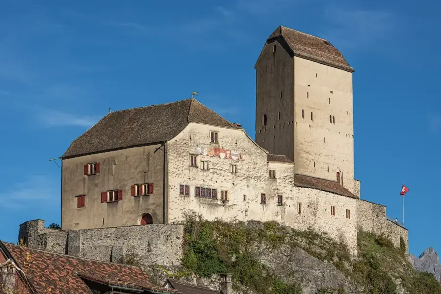
Sights nearby
💡 Tips
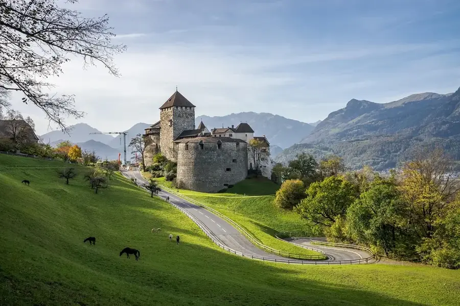
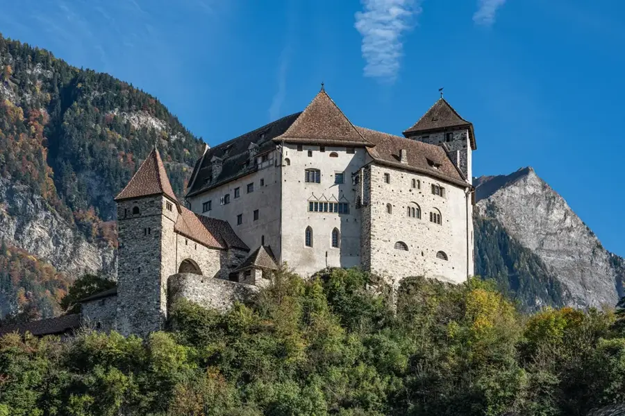
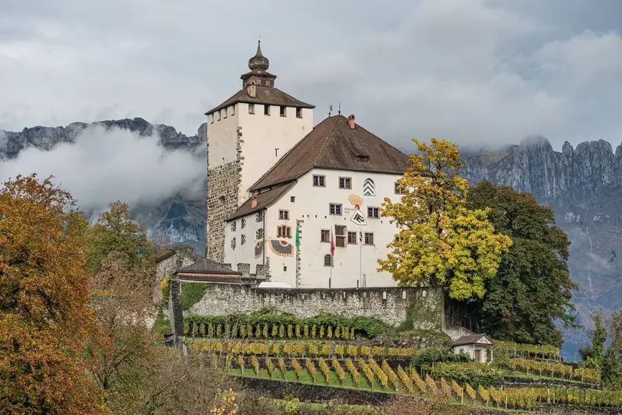
- The walk from Mäls up to Gutenberg Castle has the best dramatic views of the fortress against the mountains.
- Park in the designated areas near the Balzers center, as the streets in the older parts of Mäls are narrow.
- Visit the castle courtyard during the golden hour for striking photographs without the crowds.
- A pleasant walking path connects Mäls directly to the Rhine riverbanks.
🍽 Food
A warming pancake soup starter available at traditional guesthouses in Balzers.
Try a craft beer from a local Liechtenstein brewery after visiting the castle.
In autumn, local inns serve excellent game dishes sourced from nearby forests.
🛍 Shopping · 🧘 Quiet spots
Purchase wine made from the vineyards situated right at the foot of the castle.
Pick up a traditional nut croissant (Nussgipfel) for a snack.
A beautifully kept, quiet area just below the main fortress walls.
A small, peaceful historic site in Mäls surrounded by old trees.
Water temperature…
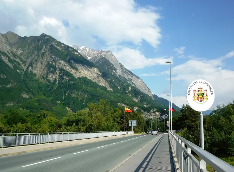
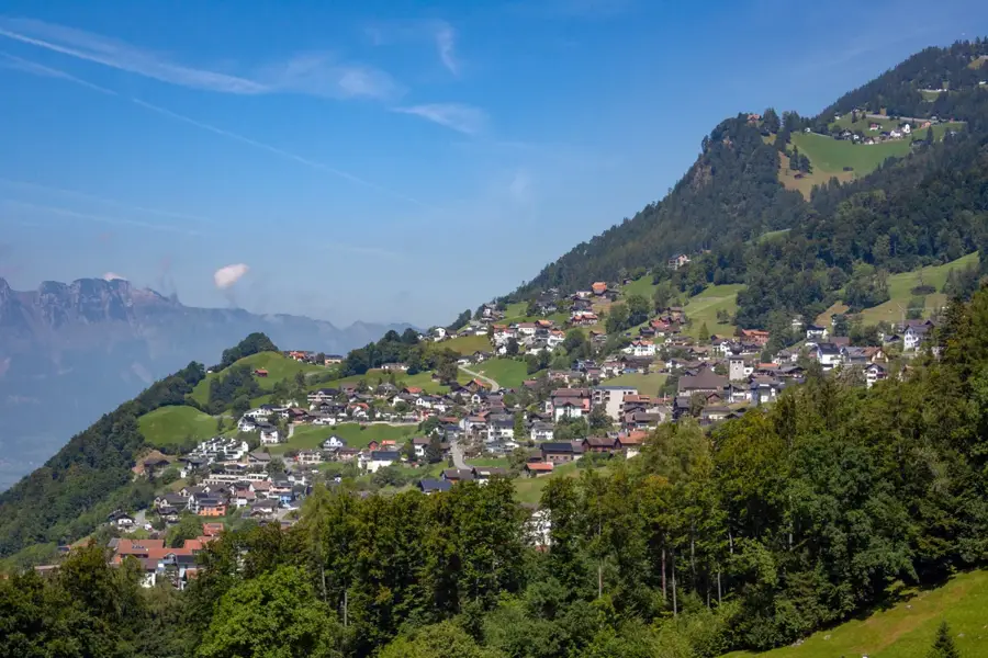
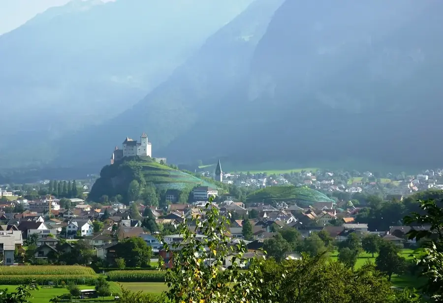
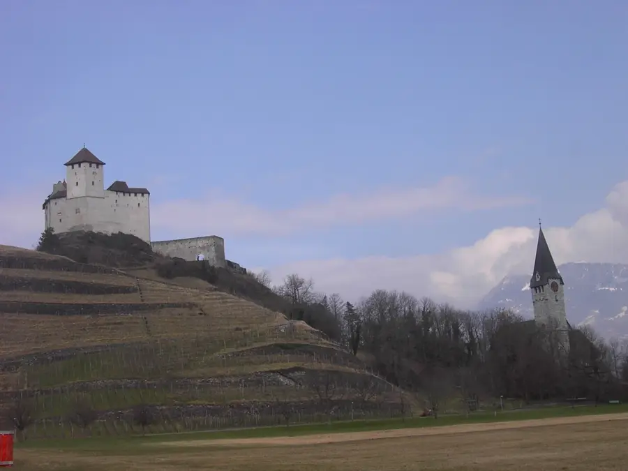
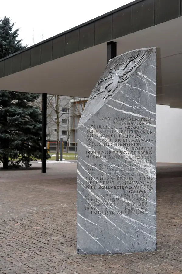
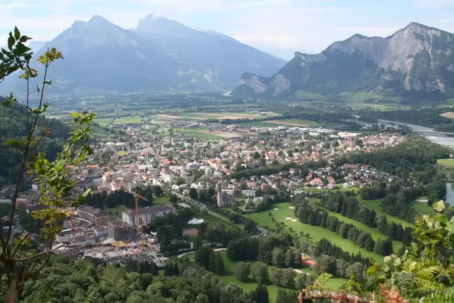
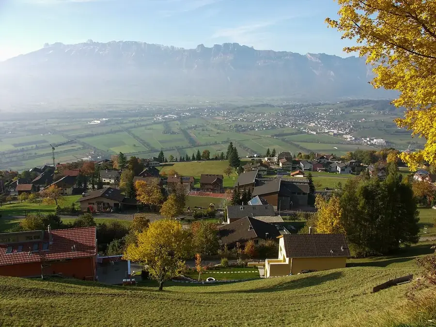
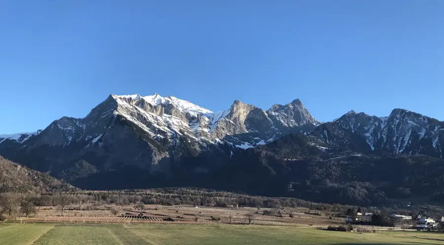
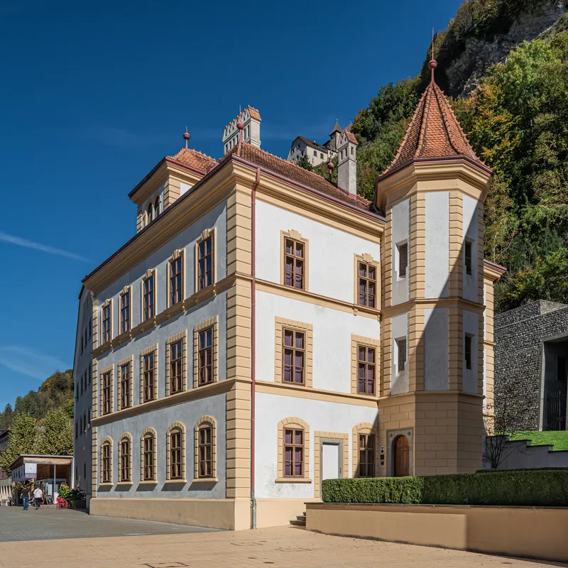
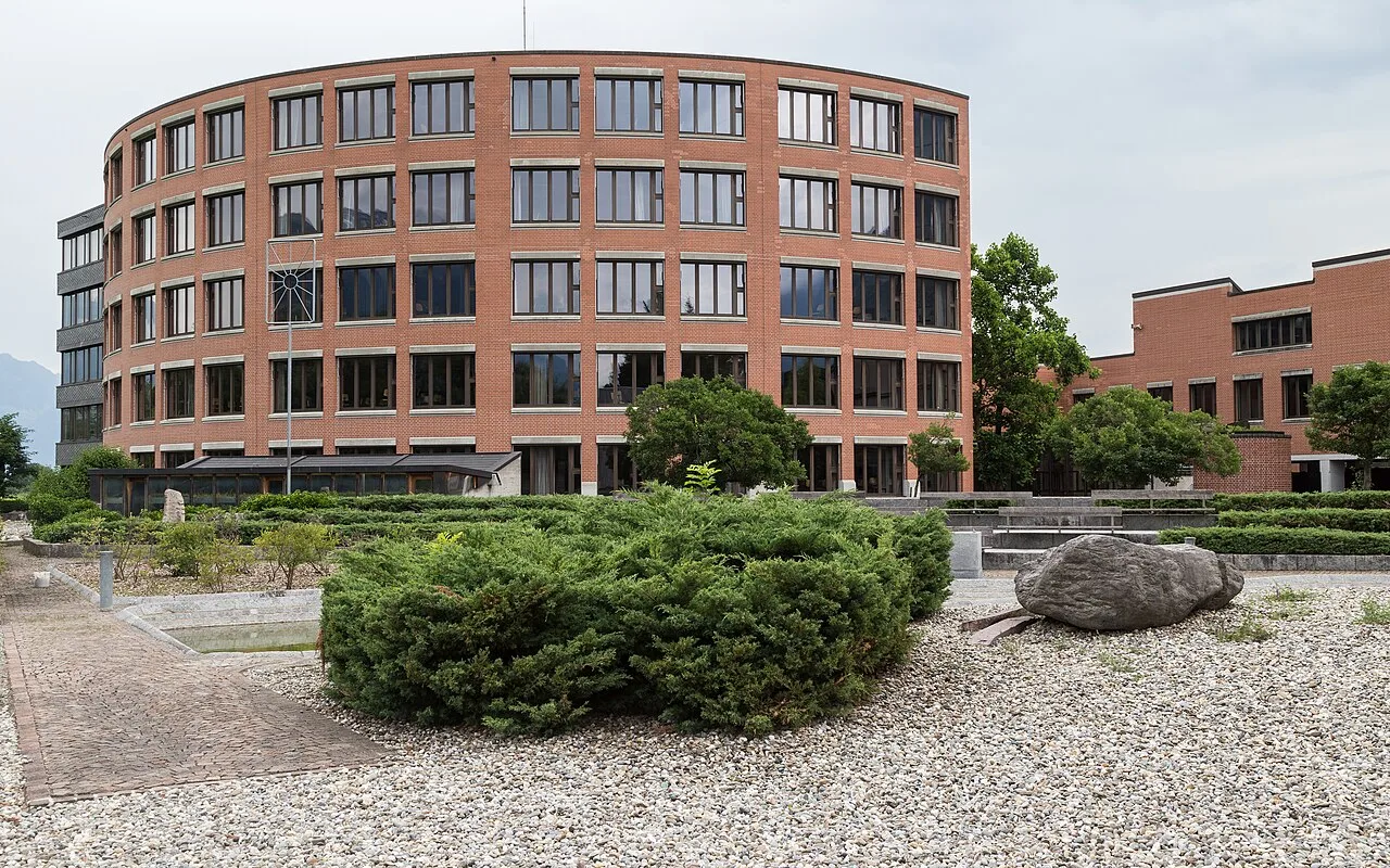
Mäls is one of the two main parts of the municipality of Balzers in the southernmost part of the Principality of Liechtenstein. Together with the district of Balzers, it forms a cohesive settlement unit, though historically they represented two separate village communities. Mäls is situated at the foot of the Luzisteig and directly on the border with Switzerland, giving the place strategic importance as a border town. The village appearance is shaped by a mix of historical farmhouses and modern residential areas, with the proximity to Gutenberg Castle dominating the visual identity of the site. A strong local identity is still maintained in Mäls today, reflected in distinct customs and a close connection to agriculture. Geographically, Mäls is bounded by the prominent castle hill and adjacent vineyards, which are significant for Liechtenstein viticulture. The flat plain of the Rhine south of Mäls provides space for commerce and simultaneously serves as an ecologically valuable buffer zone towards the neighboring Bündner Herrschaft.
- Location: Balzers, Liechtenstein
- Top sights: Naturschutzgebiete Äulehäg · Pro Natura Naturschutzgebiet Maziferchopf · Augustinus Kirche
- Nearby: Gartnetsch (5 km)
- Population: ~1.350
Best time to visit & climate
The most pleasant time to visit is Jul–Sep.
| Jan | Feb | Mar | Apr | May | Jun | Jul | Aug | Sep | Oct | Nov | Dec | |
|---|---|---|---|---|---|---|---|---|---|---|---|---|
| Avg °C | -6 | -5 | -1 | 4 | 8 | 13 | 14 | 14 | 10 | 6 | 0 | -4 |
| Rain mm | 92 | 70 | 91 | 93 | 147 | 173 | 169 | 185 | 121 | 103 | 91 | 93 |
Geography
Facts
- Mäls is located at an elevation of 472 meters above sea level.
- The border ditch between Mäls and Fläsch (CH) marks the national border.
- Balzers and Mäls were separate corporations until the 19th century.
- The area around Mäls is known for the cultivation of Blauburgunder grapes.
- St. Peter's Chapel is the religious center of the district.
- To the south, Mäls borders the Swiss cantons of Graubünden and St. Gallen.
Explore nearby
Notable places around
Route planner — Car & Motorhome
Where do you start? We build the route here, with stops and country notes along the way.
© OpenStreetMap contributors · OpenRouteService
Sights in the town Mäls (3)
Frequently asked questions
Where is Mäls located?
What is historically significant?
Is there viticulture?
Is Gutenberg Castle nearby?
Can you stay overnight?
Mäls: where is it located?
Mäls: what is there to see?
Mäls: when is the best time to visit?
Mäls: why is it worth visiting?

Nearby cities
History & landmarks
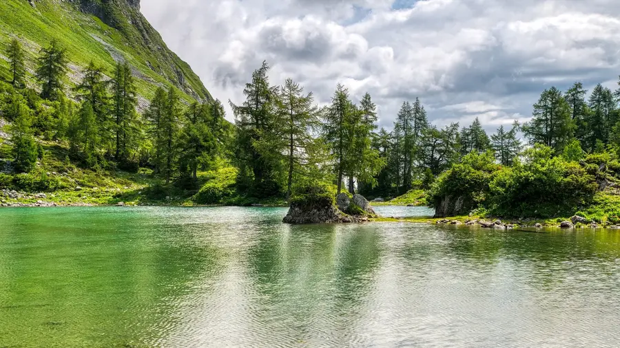
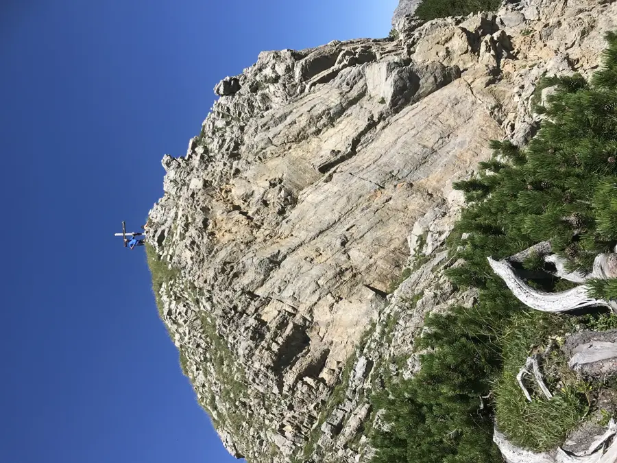
Nature
More places