Plizio Visual Lab
Kara Darya
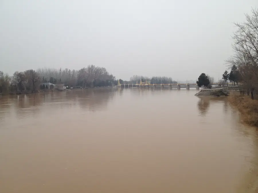
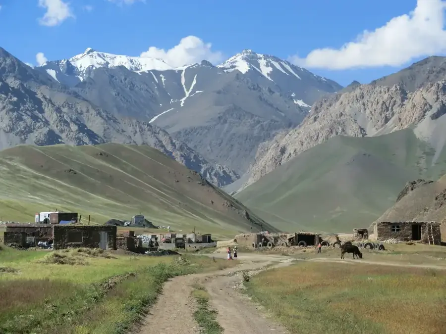
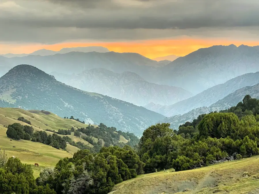
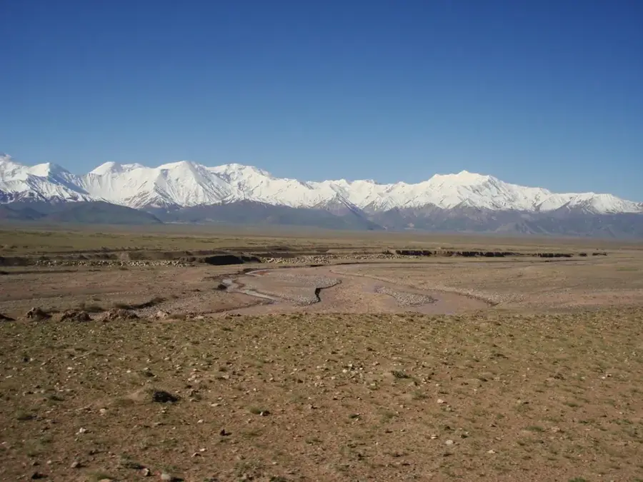
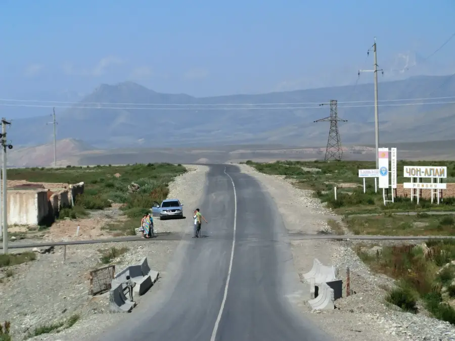
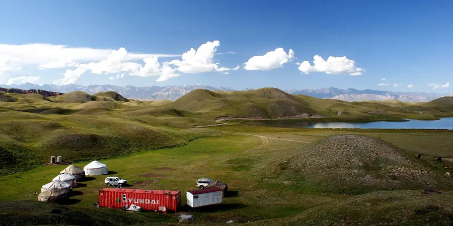
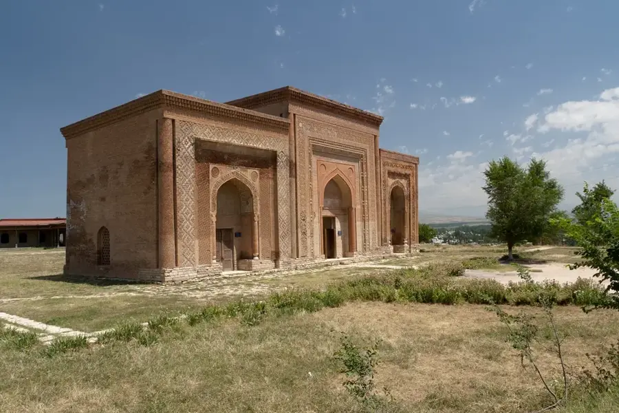
The Kara Darya, meaning 'Black River,' is one of the two primary headwaters of the Syr Darya, the second-longest river in Central Asia. It is formed by the confluence of the Kara-Kulja and Tar rivers in the eastern part of the Fergana Valley in Kyrgyzstan. Flowing for approximately 180 kilometers, it travels through the Osh region before crossing into Uzbekistan, where it merges with the Naryn River near Namangan. The river's dark appearance, which gives it its name, is caused by the high concentration of organic matter and fertile silt it carries from the Alay and Fergana mountain ranges. The Kara Darya is vital for the region's economy, as its waters are heavily diverted into an intricate network of irrigation canals that support the intensive cultivation of cotton, rice, and fruits. Historically, the river banks have been inhabited for millennia, with the ancient city of Uzgen serving as a major architectural and political hub during the Kara-Khanid period. Several dams and reservoirs along its course regulate the water flow to prevent flooding and ensure a steady supply for downstream agriculture.
- Location: Kyrgyzstan
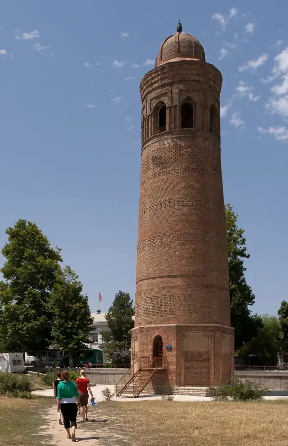
- Top sights: 1941-1945 · Detskii teatr · Oq masjid jome' masjidi
- Nearby: Kyzyl-Kiya (20 km)
Best time to visit & climate
The most pleasant time to visit is Apr, May, Sep.
| Jan | Feb | Mar | Apr | May | Jun | Jul | Aug | Sep | Oct | Nov | Dec | |
|---|---|---|---|---|---|---|---|---|---|---|---|---|
| Avg °C | 3 | 5 | 12 | 17 | 23 | 28 | 31 | 29 | 24 | 16 | 9 | 4 |
| Rain mm | 16 | 23 | 27 | 23 | 21 | 13 | 5 | 8 | 4 | 15 | 24 | 22 |
📋 Practical info
Geography
Facts
- The Kara Darya flows for a length of 180 kilometers.
- Its drainage basin covers roughly 30,100 square kilometers.
- The river merges with the Naryn to form the Syr Darya.
- The Andijan Reservoir is a major infrastructure project on the river.
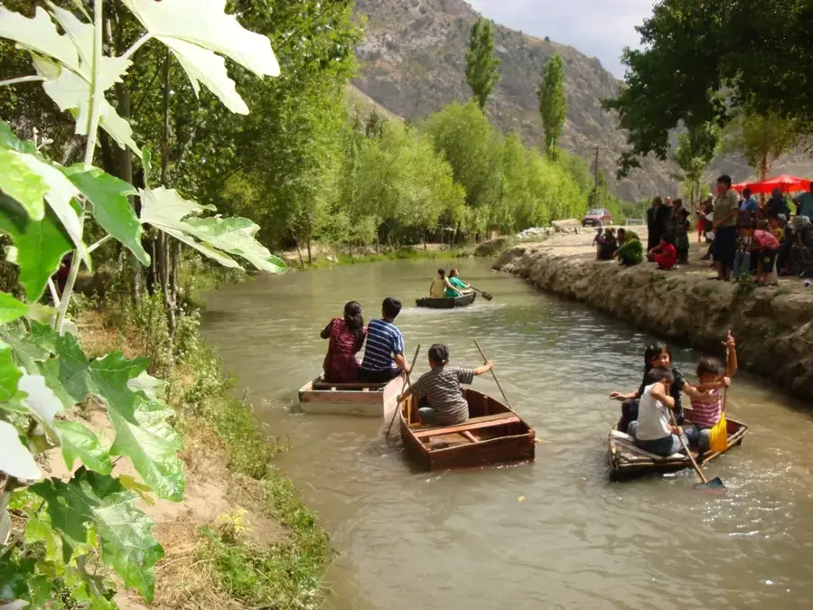
- The river is the lifeblood of the eastern Fergana Valley's farming.
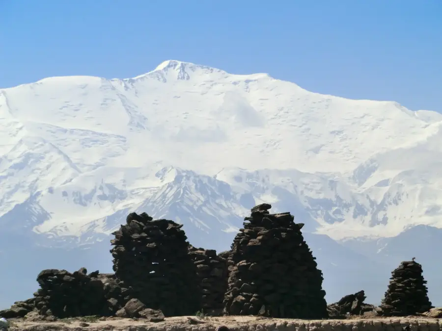
- Uzgen, a major city on its banks, was a capital in the 11th century.
Explore nearby
Notable places around
Route planner — Car & Motorhome
Where do you start? We build the route here, with stops and country notes along the way.
© OpenStreetMap contributors · OpenRouteService
Sights in the town Kara Darya (6)
Sights nearby
Frequently asked questions
What does the name Kara-Darya mean?
Where does the Kara-Darya flow?
How is the river formed?
What role does it play in agriculture?
Are there major cities on the river?
Kara Darya: where is it located?
Kara Darya: what is there to see?
Kara Darya: when is the best time to visit?
Kara Darya: why is it worth visiting?

Nearby cities

History & landmarks
More places