Plizio Visual Lab
Alay Valley
Weather…
Water temperature…
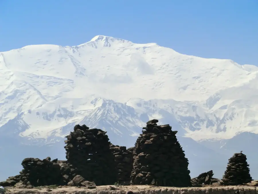
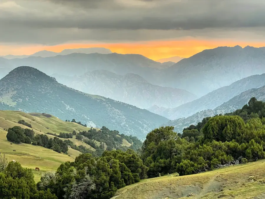
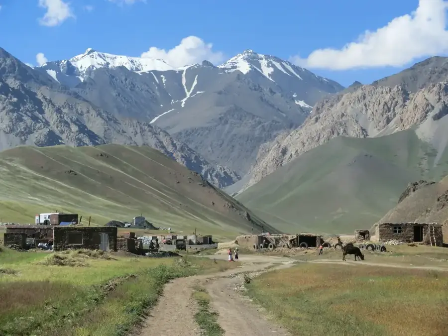
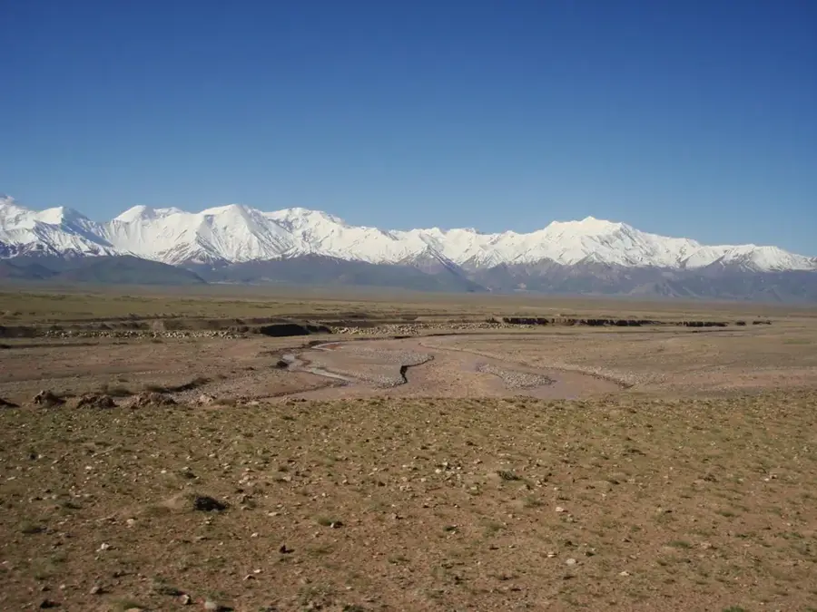
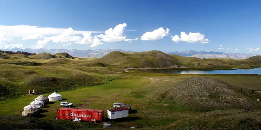
The Alay Valley is a remarkably broad, high-altitude mountain valley located in the deep south of Kyrgyzstan, stretching beautifully between the flanking ranges of the Alay Mountains to the north and the Trans-Alay Mountains to the south. The valley floor sits at an impressive average altitude of around 3,000 meters and features a vast, grassy steppe landscape, cut through by the reddish waters of the Kyzyl-Suu river. From almost anywhere in the valley, visitors are treated to an unobstructed, awe-inspiring panoramic view of the towering, snow-capped giants of the Pamir Mountains, most notably the dominating Lenin Peak. This harsh yet highly productive valley is invaluable to Kyrgyz nomads; during the brief summer months, the expansive plains transform into a bustling grazing ground for thousands of sheep, yaks, and horses. Historically, the Alay Valley functioned as a major corridor for ancient Silk Road caravans traveling from China toward the Middle East. Because of its extreme elevation, the valley experiences very severe winters and short summers, keeping the natural environment rugged and unspoiled.
- Location: Kyrgyzstan
- Nearby: Sary-Mogol (11 km)
Best time to visit & climate
The most pleasant time to visit is Jun–Aug.
| Jan | Feb | Mar | Apr | May | Jun | Jul | Aug | Sep | Oct | Nov | Dec | |
|---|---|---|---|---|---|---|---|---|---|---|---|---|
| Avg °C | -18 | -16 | -11 | -4 | 0 | 3 | 5 | 5 | 1 | -4 | -10 | -16 |
| Rain mm | 13 | 17 | 21 | 20 | 18 | 13 | 7 | 12 | 2 | 8 | 23 | 15 |
📋 Practical info
Geography
Facts
- Sits at an impressive average elevation of 3,000 meters above sea level.
- Nestled perfectly between the Alay and Trans-Alay mountain ranges.
- Offers a spectacular, unobstructed panoramic view of Lenin Peak.
- The reddish Kyzyl-Suu river meanders through its entire length.
- Serves as a massive, vital grazing pasture for livestock in summer.
- Historically operated as a crucial caravan corridor on the Silk Road.
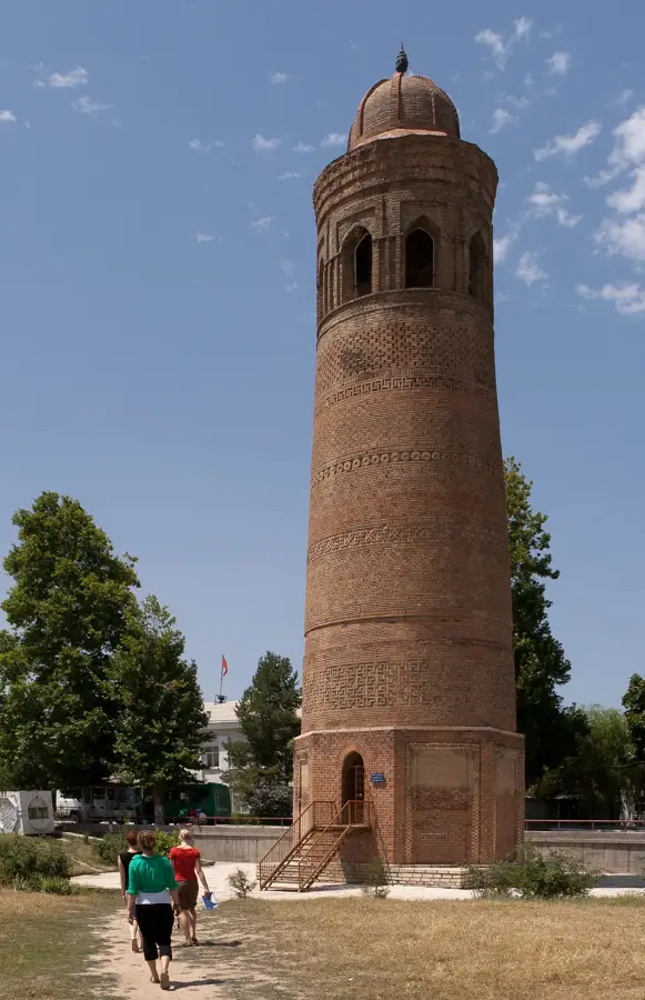
Explore nearby
Notable places around
Route planner — Car & Motorhome
Where do you start? We build the route here, with stops and country notes along the way.
© OpenStreetMap contributors · OpenRouteService
Sights nearby
Frequently asked questions
What is the Alay Valley?
At what altitude is the valley floor?
What view does the valley offer?
Is the valley inhabited?
What is the land used for?
Alay Valley: where is it located?
Alay Valley: when is the best time to visit?
Alay Valley: why is it worth visiting?

Nearby cities

History & landmarks
Nature
More places