Plizio Visual Lab
Alay Mountains
Weather…
Water temperature…
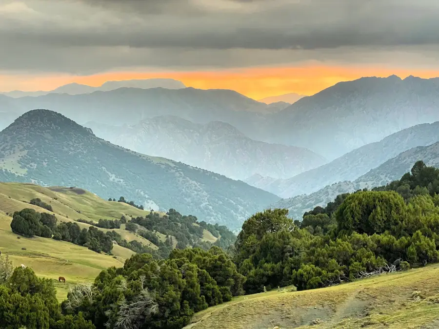
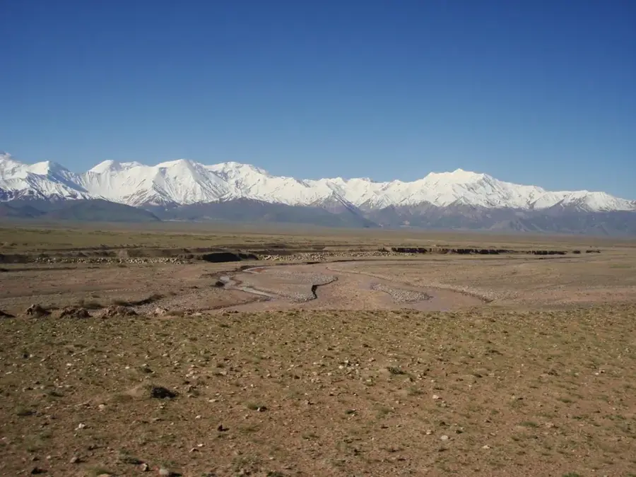
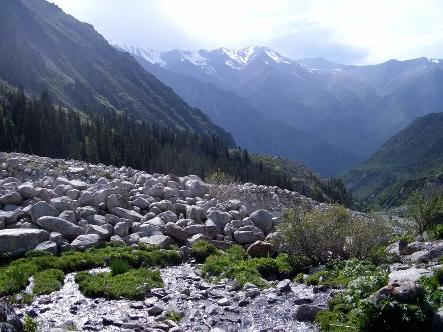
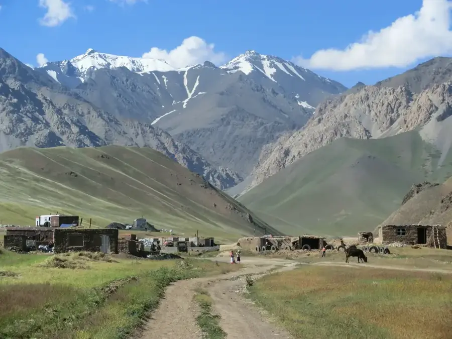
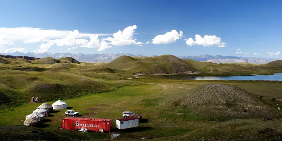
The Alay Mountains form a striking and rugged mountain range that extends westward from the Tian Shan system in Kyrgyzstan into neighboring Tajikistan. This massive mountainous barrier creates the imposing southern boundary of the fertile Fergana Valley, cleanly separating it from the high-altitude plateaus further south. The highest point of the range is Peak Tandykul, soaring to an elevation of 5,544 meters directly on the Kyrgyz-Tajik border. The Alay Mountains are defined by their steep, rocky slopes, deep, dramatic gorges, and expansive high-altitude summer pastures known locally as jailoos. For centuries, the high mountain passes of the Alay range served as crucial arteries for merchants and travelers navigating the ancient Silk Road. Today, the region remains an essential area for semi-nomadic Kyrgyz herders, who bring their flocks of sheep and horses up to graze during the warm summer months. For intrepid trekkers, the Alay Mountains offer an unspoiled, raw, and uncrowded alternative to the more heavily visited trekking hubs in northern Kyrgyzstan.
- Location: Kyrgyzstan
- Nearby: Kyzyl-Kiya (25 km)
Best time to visit & climate
The most pleasant time to visit is Jun–Aug.
| Jan | Feb | Mar | Apr | May | Jun | Jul | Aug | Sep | Oct | Nov | Dec | |
|---|---|---|---|---|---|---|---|---|---|---|---|---|
| Avg °C | -13 | -11 | -5 | 1 | 4 | 8 | 11 | 11 | 6 | 1 | -5 | -11 |
| Rain mm | 17 | 22 | 25 | 25 | 24 | 17 | 7 | 20 | 3 | 11 | 31 | 20 |
📋 Practical info
Geography
Facts
- Forms the formidable southern natural boundary of the Fergana Valley.
- Stretches laterally for approximately 400 kilometers east to west.
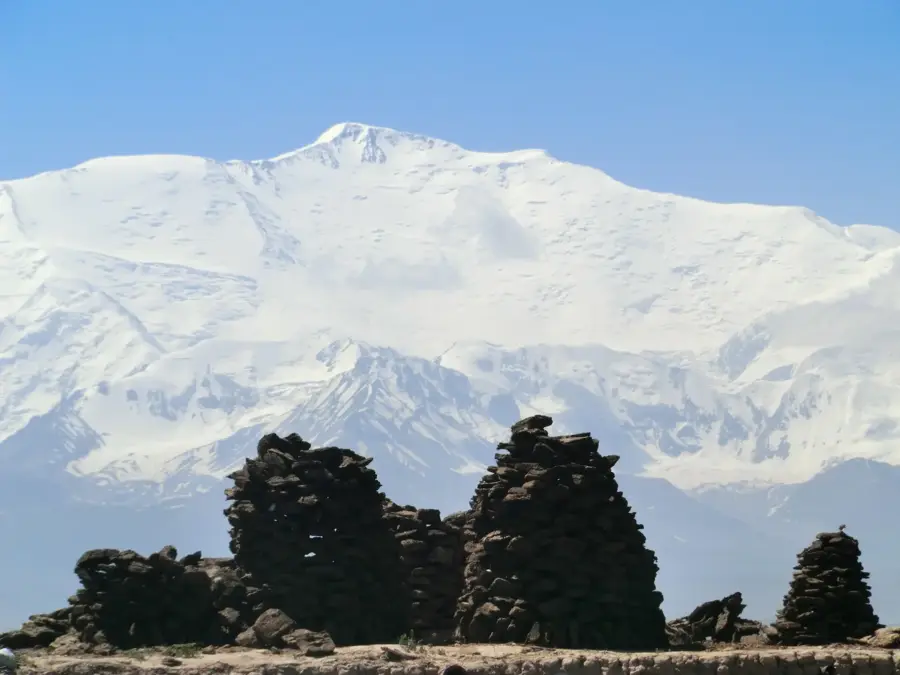
- Peak Tandykul is the highest elevation in the range at 5,544 meters.
- Acts as a geographical bridge between the Tian Shan and the Pamirs.
- Its historic mountain passes were vital sections of the Silk Road.
- Features vast high-altitude pastures traditionally used by herders.
Explore nearby
Notable places around
Route planner — Car & Motorhome
Where do you start? We build the route here, with stops and country notes along the way.
© OpenStreetMap contributors · OpenRouteService
Sights in the town Alay Mountains (1)
Sights nearby
Frequently asked questions
Which mountain system includes the Alai Mountains?
What is the landscape like in the Alai Mountains?
Which city serves as the gateway to the Alai?
Are there glaciers there?
Can you meet nomads there?
Alay Mountains: where is it located?
Alay Mountains: when is the best time to visit?
Alay Mountains: why is it worth visiting?

Nearby cities

History & landmarks
Nature
More places