Plizio Visual Lab
Kacheliba Plains

Weather…
Water temperature…
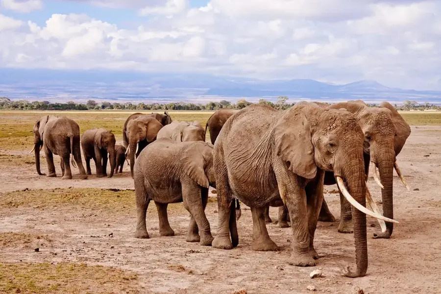
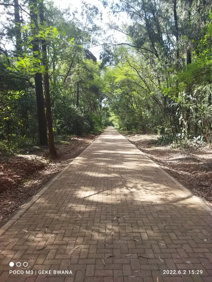
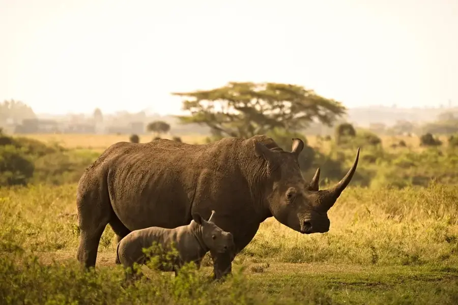
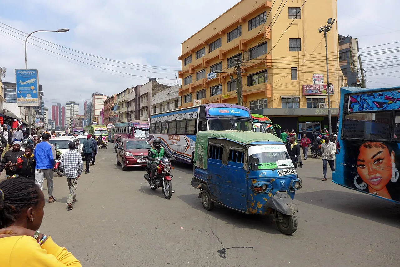
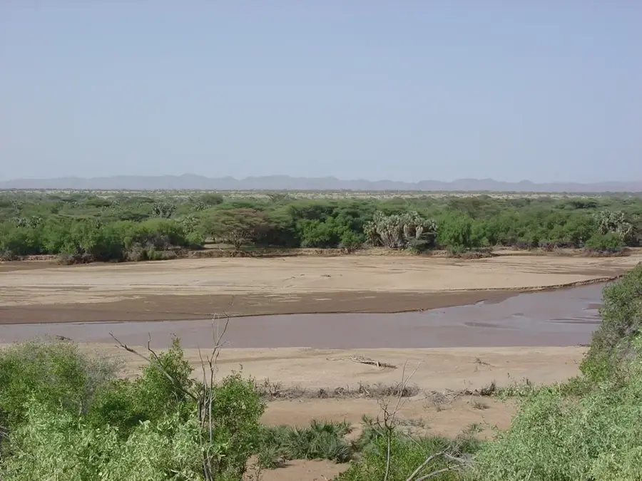
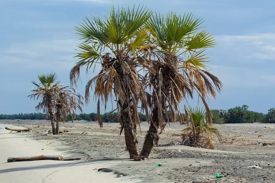
The Kacheliba Plains are situated in West Pokot County in northwestern Kenya, forming a vast, semi-arid landscape near the Ugandan border. Geologically, the plains belong to the transitional zone between the central highlands and the lower-lying Turkana Basin, characterized by sedimentary deposits and isolated inselbergs. The region is traversed by the Suam River, which serves as a critical lifeline for the pastoralist Pokot communities residing there. Vegetation primarily consists of thorny scrubland, acacia trees, and seasonal grasslands adapted to irregular rainfall patterns. Historically, Kacheliba was a significant administrative center during the colonial era and a hub for trade between Kenya and Uganda. Life on the plains is deeply intertwined with traditional livestock rearing, with cattle, goats, and sheep forming the bedrock of the local economy. Despite the harsh conditions, the region hosts a noteworthy diversity of birds and small mammals that find refuge in the riparian zones along the river.
- Location: Kenya
- Nearby: Kapenguria (53 km)
Best time to visit & climate
The most pleasant time to visit is Jan, Feb, Dec.
| Jan | Feb | Mar | Apr | May | Jun | Jul | Aug | Sep | Oct | Nov | Dec | |
|---|---|---|---|---|---|---|---|---|---|---|---|---|
| Avg °C | 24 | 25 | 25 | 24 | 23 | 23 | 22 | 22 | 23 | 24 | 23 | 23 |
| Rain mm | 16 | 13 | 41 | 90 | 96 | 72 | 83 | 106 | 77 | 75 | 58 | 35 |
📋 Practical info
Geography
Facts
- Kacheliba sits at an average elevation of approximately 1,100 to 1,300 meters.
- The Suam River originates on Mount Elgon and flows directly through the plains.
- The region was once part of the Rudolf District in Uganda before being transferred to Kenya.
- Temperatures can regularly exceed 35 degrees Celsius during the dry season.
- The plains are renowned for their rich variety of birds of prey.
- The area acts as a vital transit point for livestock herds moving toward major markets.
Explore nearby
Notable places around
Route planner — Car & Motorhome
Where do you start? We build the route here, with stops and country notes along the way.
© OpenStreetMap contributors · OpenRouteService
Sights nearby
Frequently asked questions
What is the Kacheliba Plains?
What can you see there?
What is the climate like?
Do I need permission to visit?
What are the road conditions like?
Kacheliba Plains: where is it located?
Kacheliba Plains: when is the best time to visit?
Kacheliba Plains: why is it worth visiting?

History & landmarks


Nature

More places